
Reservoirs & lochs · North West England
Wet Sleddale Reservoir
In or near Shap.
Wet Sleddale Reservoir — reservoir in the United Kingdom.

Wikimedia Commons contributors — see linked file page for photographer and licence licence

Plan your visit
- Typical visit
- 1 h–2.5 h
- Free entry
- Dog-friendly
About
Wet Sleddale Reservoir is a reservoir in the United Kingdom. Wikidata describes it as: "reservoir in the United Kingdom". Coordinates: 54.4964°, -2.6956°.
Photo gallery
Protected designations
- Site of Special Scientific Interest: River Eden and Tributaries SSSI
- Area of Outstanding Natural Beauty: North Pennines
Designations sourced from Natural England open data under OGL v3.
From the Wikipedia article
Wet Sleddale Reservoir is an artificial reservoir set amongst the Shap Fells 4 kilometres (2 mi) south of the village of Shap in Cumbria, England, and lies just within the boundary of the Lake District National Park. The triangular shaped reservoir, which can store 2,330,406,000 litres (512,618,000 imp gal; 615,628,000 US gal) of water, was created by the construction of a dam across Sleddale Beck in order to supply Manchester with water. The dam is 21 metres (69 ft) high and 600 metres (2,000 ft) long. The extracted water is carried to Haweswater, mainly through tunnels. The beck emerges from the foot of the dam as the River Lowther. There is a public car park beneath the dam from which a public right of way gives access to the south side of the reservoir. Alfred Wainwright describes a walk from here in the Wet Sleddale Horseshoe chapter of his The Outlying Fells of Lakeland. Manchester Corporation were given powers to construct the reservoir under the Haweswater Act, 1919 but construction did not start until the 1960s and completion was in 1966.
Excerpt from Wikipedia under CC BY-SA 4.0. See the source article linked in Sources below.
- Coordinates
- 54.4964, -2.6956
- District
- Westmorland and Furness
- Parish
- Shap Rural
- Postcode
- CA10 3NE
- Parliamentary constituency
- Westmorland and Lonsdale
Sources
- wikidata: Q7374119 (CC0)
- wikipedia: Wet Sleddale Reservoir (CC BY-SA 4.0)
- commons: Wet Sleddale Reservoir - geograph.org.uk - 576686.jpg (CC BY-SA 4.0)
Other places nearby

River Lowther
Natural landmarks · 0.3 km

Wet Sleddale Horseshoe
Reservoirs & lochs · 0.6 km
Wet Sleddale Meadows
National parks · 0.6 km

Slate Hill
Mountains & hills · 1.0 km

Packhorse Bridge
Historic bridges · 1.1 km

White Crag
Mountains & hills · 1.2 km

Nuttall Sidings
Public art & sculpture · 1.7 km

Hallmoss Hill
Mountains & hills · 1.7 km

Bleak Hill
Mountains & hills · 1.9 km

Great Ladstones
Mountains & hills · 2.1 km

Lingly Hill
Mountains & hills · 2.2 km

Shap Summit
Mountains & hills · 2.4 km
Nearby
📷 4Natural landmarks · North West England
River Lowther
River Lowther in England North East, United Kingdom.
📷 4Reservoirs & lochs · North West England
Wet Sleddale Horseshoe
Wet Sleddale Horseshoe in England North East, United Kingdom.
📷 3National parks · North West England
Wet Sleddale Meadows
Wet Sleddale Meadows in England North East, United Kingdom.
📷 5Mountains & hills · North West England
Slate Hill
Slate Hill — mountain in england north east. Elevation: 292 m.
📷 4Historic bridges · North West England
Packhorse Bridge
Packhorse Bridge is a historic bridge in the United Kingdom.
📷 5Mountains & hills · North West England
White Crag
White Crag — mountain in england north west. Elevation: 426 m.
Where to eat & stay near Wet Sleddale Reservoir
Places to stay
 📷 5
📷 5Hostels · North West England
New Ing Lodge
New Ing Lodge — a hostel in england north east.
📷 5Campsites · North West England
New Ing Lodge Camping
New Ing Lodge Camping — a campsite in england north east.
 📷 5
📷 5 📷 5
📷 5Caravan parks · North East England
Midtown Farm Camping & Caravan Site
Midtown Farm Camping & Caravan Site — a caravan park in england north east.
 📷 5
📷 5Caravan parks · North West England
Tebay Caravan Park
Tebay Caravan Park — a caravan park in england north west.
 📷 5
📷 5Caravan parks · North West England
Newby End Farm Caravan Site
Newby End Farm Caravan Site — a caravan park in england north east.
Places to eat & drink
 📷 5
📷 5Historic pubs · North East England
1, Scattergate
1, Scattergate in England North East, United Kingdom.
 📷 5
📷 5Historic pubs · North West England
Horse And Farrier Inn And Stables
Horse And Farrier Inn And Stables in Scotland Lowlands, United Kingdom.
 📷 4
📷 4Restaurants · North West England
Holbeck Ghyll
Holbeck Ghyll is a restaurant located in Windermere, Cumbria, England. "The late 19th century building was once Lord Lonsdale's hunting lodge and only became a hotel in the 1970s. It won a Michelin st
 📷 5
📷 5Restaurants · North West England
Holbeck Ghyll Restaurant
Holbeck Ghyll Restaurant — a restaurant in england north west.
📷 5Historic pubs · North West England
Holbeck Ghyll
Holbeck Ghyll in England North West, United Kingdom.
 📷 5
📷 5Historic pubs · North West England
Golden Rule Hotel
Golden Rule Hotel in England North West, United Kingdom.
More places in this region
 Flagship📷 5
Reservoirs & lochs · North West England
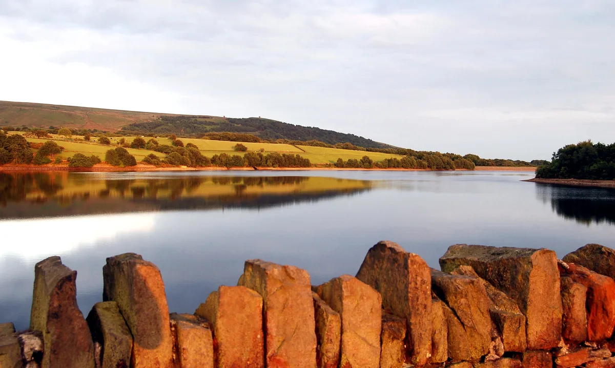
Yarrow Reservoir
Yarrow Reservoir — reservoir in Lancashire, England, UK.
.jpg?width=1200) 📷 3
📷 3Reservoirs & lochs · North West England
Abbey Village Reservoir
Abbey Village Reservoir — reservoir in Lancashire, England, UK.
 📷 3
📷 3Reservoirs & lochs · North West England
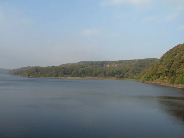
Anglezarke Reservoir
Anglezarke Reservoir — reservoir in Lancashire, England, UK.
 📷 3
📷 3Reservoirs & lochs · North West England
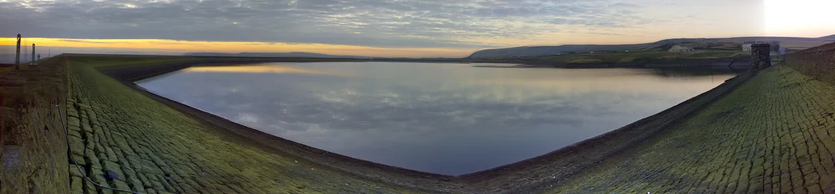
Ashworth Moor Reservoir
Ashworth Moor Reservoir — reservoir in Greater Manchester, England, UK.
Frequently asked questions
- Where is Wet Sleddale Reservoir?
- Wet Sleddale Reservoir is in North-West England, United Kingdom (postcode CA10 3NE), in the parish of Shap Rural.
- What is Wet Sleddale Reservoir?
- Wet Sleddale Reservoir — reservoir in the United Kingdom.
- How do I get to Wet Sleddale Reservoir?
- The nearest town is Shap. Drivers can use postcode CA10 3NE.
- Is Wet Sleddale Reservoir a protected site?
- Yes — Wet Sleddale Reservoir is part of the River Eden and Tributaries SSSI Site of Special Scientific Interest and the North Pennines National Landscape (AONB).
- Is Wet Sleddale Reservoir free to visit?
- Yes, Wet Sleddale Reservoir is free to enter.
- How do I get to Wet Sleddale Reservoir?
- Drivers can navigate to postcode CA10 3NE. It sits within the Westmorland and Lonsdale parliamentary constituency.