
Hill forts · South West England
West Kennet Long Barrow
In or near Avebury.
West Kennet Long Barrow — Neolithic tomb or barrow in Wiltshire, England, UK.

Wikimedia Commons contributors — see linked file page for photographer and licence licence
.jpg)
Plan your visit
- Typical visit
- 1 h–2 h
- Nearest railway station
- Pewsey · 9.2 km
- Free entry
- Family-friendly
- Dog-friendly
- Limited wheelchair access
Getting there & planning your visit
West Kennet Long Barrow is located in Wiltshire, with the nearest railway station being Pewsey, approximately 9.2 km away. Entry is free, but wheelchair accessibility is limited. The postcode for sat-nav is SN8 1QH.
About
West Kennet Long Barrow is a hill fort in the United Kingdom. Heritage designation: scheduled monument. Owned by English Heritage. Managed by English Heritage. Part of Stonehenge, Avebury and Associated Sites. Wikidata describes it as: "Neolithic tomb or barrow in Wiltshire, England, UK". Coordinates: 51.4086°, -1.8510°.
Photo gallery
From English Heritage
One of the largest and most impressive Neolithic chambered tombs in Britain. Built in around 3650 BC and used for a short time only, nearly 50 people were buried here before the chambers were blocked.
Read more on the official property page.
Protected designations
- Area of Outstanding Natural Beauty: Cotswolds
- Area of Outstanding Natural Beauty: North Wessex Downs
Designations sourced from Natural England open data under OGL v3.
From the Wikipedia article
The West Kennet Long Barrow, also known as South Long Barrow, is a chambered long barrow near the village of Avebury in the south-western English county of Wiltshire. Probably constructed in the thirty-seventh century BC, during Britain's Early Neolithic period. Today it survives in a partially reconstructed state. Archaeologists have established that the monument was built by pastoralist communities shortly after the introduction of agriculture to Britain from continental Europe. Although representing part of an architectural tradition of long barrow building that was widespread across Neolithic Europe, the West Kennet Long Barrow belongs to a localised regional variant of barrows in Western Britain, now known as the Cotswold-Severn Group. Of these, it is part of a cluster of around thirty centred on Avebury in the uplands of northern Wiltshire. Built out of earth, local sarsen megaliths, and oolitic limestone imported from the Cotswolds, the long barrow consisted of a sub-rectangular earthen tumulus enclosed by kerb-stones. Its precise date of construction is not known. Human bones were placed within the chamber, probably between 3670 and 3635 BC, representing a mixture of men, women, children, and adults. There is then an apparent hiatus in the use of the site as a place of burial, probably lasting over a century. Between 3620 and 3240 BC it likely began to be re-used as a burial space, receiving both human and animal remains over a period of several centuries. Various flint tools and ceramic sherds were also placed within it during this time. In the Late Neolithic, the entrance to the long barrow was blocked up with the addition of large sarsen boulders. During the Later Neolithic and Early Bronze Age, the landscape around West Kennet Long Barrow was subject to the widespread construction of ceremonial monuments, among them the Avebury henge and stone circles, the West Kennet Avenue, The Sanctuary, and Silbury Hill. During the Romano-British period, a small…
Excerpt from Wikipedia under CC BY-SA 4.0. See the source article linked in Sources below.
Background
Architecture
It is probable that the site on which West Kennet Long Barrow was built had been used for older human activity. This is evidenced by sherds of a plain bowl that excavators found in soil beneath the monument during the 1950s. The architectural style of the Long Barrow, coupled with the style of the primary interments of human remains, led archaeologists who excavated in the 1950s to believe that it was Early Neolithic in date. A nearby monument, the Windmill Hill causewayed enclosure, revealed three radiocarbon dates which demonstrated that it was Early Neolithic, leading archaeologists to consider an Early Neolithic date for the Long Barrow. The presence of a kink in the flanking ditches,…
Description
Across Western Europe, the Early Neolithic marked the first period in which humans built monumental structures in the landscape. These structures included chambered long barrows, rectangular or oval earthen tumuli with a chamber built into one end. Some chambers were made of timber, and others using large stones, now known as "megaliths". Long barrows often served as tombs, housing the dead within their chamber. Bodies were rarely buried alone in the Early Neolithic, instead being interred in collective burials with other members of their community. These chambered tombs were built all along the Western European seaboard during the Early Neolithic, from south-eastern Spain up to southern…
Visiting
West Kennet Long Barrow now serves as a tourist attraction. In 1997, the cultural historian Richard Hayman noted that it was "a tomb no more, it has become a sanitised cultural commodity." Many modern Pagans view West Kennet Long Barrow as a "temple" and use it for their rituals. Some see it as a place of the ancestors where they can engage in "vision quests" and other neo-shamanic practices. Others have seen it as a womb of the Great Goddess, and as a sort of living entity. The winter solstice has been a particularly popular occasion for Pagans to visit. Modern Pagan visitors have often left items, including tea lights, incense, flowers, fruit, and coins, in the long barrow, often…
Sourced from Wikipedia under CC BY-SA 4.0.
- Coordinates
- 51.4086, -1.8510
- District
- Wiltshire
- Parish
- Avebury
- Postcode
- SN8 1QH
- Parliamentary constituency
- East Wiltshire
- Phone
- 01672 539 250
- Nearest railway station
- Pewsey — 9.2 km
- Opening
- Open any reasonable time during daylight hours
- Official site
- www.english-heritage.org.uk
Sources
- wikidata: Q541312 (CC0)
- wikipedia: West Kennet Long Barrow (CC BY-SA 4.0)
- commons: 1010628-WestKennettLongbarrow (14).jpg (CC BY-SA 4.0)
Featured in this guide
Other places nearby

Silbaby
Archaeological sites · 0.6 km

Silbury Hill
Mountains & hills · 0.9 km

Silbury Hill
Forests & woodlands · 0.9 km

Lavington Monument In Churchyard, Against South West Corner Of Christ Church
Memorials & monuments · 1.3 km

Waden Hill
Mountains & hills · 1.3 km

Bowl Barrow
Archaeological sites · 1.4 km
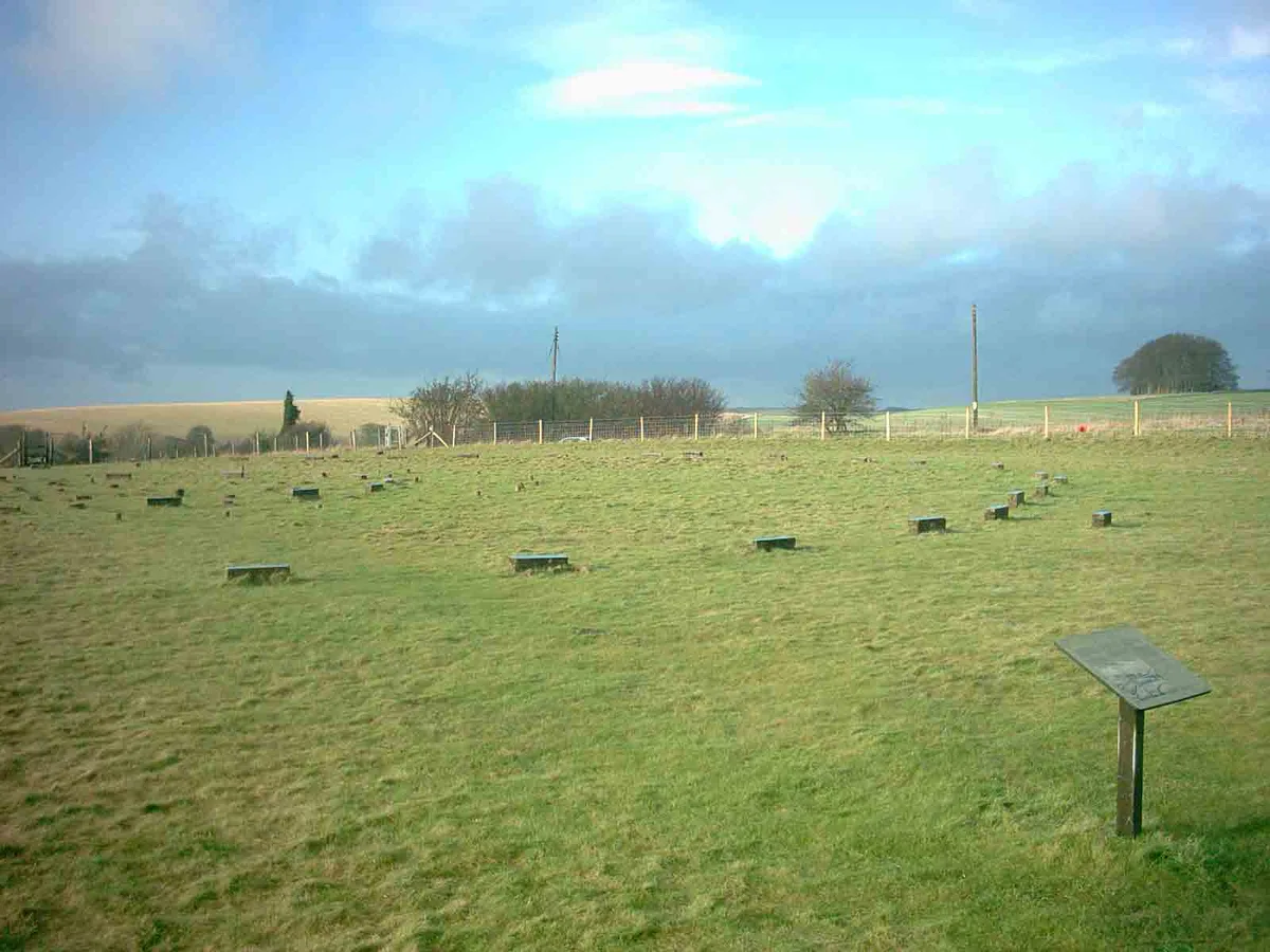
The Sanctuary
Hill forts · 1.4 km

Bowl Barrow
Archaeological sites · 1.5 km

East Kennett Long Barrow
Burial mounds & barrows · 1.5 km

East Kennett Long Barrow
Archaeological sites · 1.5 km
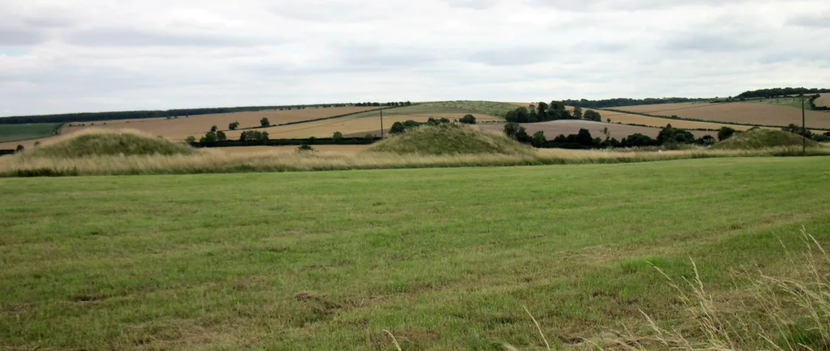
Overton Hill
Mountains & hills · 1.5 km
East Kennet
Villages · 1.6 km
Nearby
📷 5Archaeological sites · South East England
Silbaby
Silbaby — a archaeological in england-south-east, United Kingdom.
📷 5Mountains & hills · South West England
Silbury Hill
Silbury Hill — mountain in england south east. Elevation: 167 m. Operated by English Heritage.
★ Iconic📷 5Forests & woodlands · South West England
Silbury Hill
Silbury Hill is a forest or woodland in the United Kingdom.
📷 5Memorials & monuments · South East England
Lavington Monument In Churchyard, Against South West Corner Of Christ Church
Lavington Monument In Churchyard, Against South West Corner Of Christ Church — Grade II listed building-listed memorial in england-south-east, United Kingdom.
📷 5Mountains & hills · South West England
Waden Hill
Waden Hill — mountain in england south east. Elevation: 192 m.
📷 5Archaeological sites · South East England
Bowl Barrow
Bowl Barrow — archaeological in england south east.
Where to eat & stay near West Kennet Long Barrow
Places to stay
 📷 5
📷 5 📷 7
📷 7Hotels · South East England
Castle & Ball Hotel
Castle & Ball Hotel — a hotel in england south east.
 📷 7
📷 7 📷 5
📷 5 📷 5
📷 5B&Bs · South West England
Puckshipton House
Puckshipton House — a bed-and-breakfast in england south east.
 📷 5
📷 5Campsites · South East England
Totteridge Farm
Totteridge Farm — a campsite in england south east.
Places to eat & drink
 📷 7
📷 7Cafés · South East England
St Peter's and St Paul's
St Peter's and St Paul's — a café in england south east.
 📷 7
📷 7 📷 7
📷 7Historic pubs · South West England
The Queens Head Inn
The Queens Head Inn in England South West, United Kingdom.
 📷 7
📷 7Historic pubs · South West England
The Talbot Public House
The Talbot Public House in England South West, United Kingdom.
 📷 5
📷 5Historic pubs · South West England
Bricklayers Arms Public House
Bricklayers Arms Public House in England South West, United Kingdom.
 📷 5
📷 5More places run by English Heritage
 Flagship📷 10
Museums · London
Kenwood House
Kenwood House — art museum and historic house in Hampstead, London.
 📷 5
📷 5Galleries · London
Apsley House
Apsley House — London townhouse of the Dukes of Wellington.
 📷 5
📷 5Castles · London
Eynsford Castle
Eynsford Castle — castle, now ruinous, in Eynsford, Kent, England, UK.
 📷 5
📷 5Museums · London
Jewel Tower
Jewel Tower — medieval tower in Westminster, London, England, UK.
More places in this region
 Flagship📷 10
Hill forts · South West England
Maiden Castle
Maiden Castle — Iron Age hill fort in Dorset, England, UK.
 📷 5
📷 5Hill forts · South West England
All Cannings Cross
All Cannings Cross — archaeological site in All Cannings, Wiltshire, England, UK.
 📷 5
📷 5Hill forts · South West England
Aquae Sulis
Aquae Sulis — town in Roman Britain on the site of Bath, England.
 📷 5
📷 5Hill forts · South West England
Aston Valley Barrow Cemetery
Aston Valley Barrow Cemetery — group of Bronze Age burial mounds in England.
Frequently asked questions
- Where is West Kennet Long Barrow?
- West Kennet Long Barrow is in South-East England, United Kingdom (postcode SN8 1QH), in the parish of Avebury.
- What is West Kennet Long Barrow?
- West Kennet Long Barrow — Neolithic tomb or barrow in Wiltshire, England, UK.
- How do I get to West Kennet Long Barrow?
- The nearest railway station is Pewsey, about 9.2 km away. Drivers can use postcode SN8 1QH.
- Who runs West Kennet Long Barrow?
- West Kennet Long Barrow is operated by English Heritage.
- Is West Kennet Long Barrow a listed building?
- West Kennet Long Barrow is officially recognised as scheduled monument listed.
- Is West Kennet Long Barrow a protected site?
- Yes — West Kennet Long Barrow is part of the Cotswolds National Landscape (AONB) and the North Wessex Downs National Landscape (AONB).
- Is West Kennet Long Barrow free to visit?
- Yes, West Kennet Long Barrow is free to enter.
- How do I get to West Kennet Long Barrow?
- Drivers can navigate to postcode SN8 1QH. It sits within the East Wiltshire parliamentary constituency.