
Forests & woodlands · South West England
Silbury Hill
In or near Avebury.
Silbury Hill is a forest or woodland in the United Kingdom.

Wikimedia Commons contributors — see linked file page for photographer and licence licence

Plan your visit
- Typical visit
- 1 h–3 h
- Free entry
- Family-friendly
- Dog-friendly
Getting there & planning your visit
Silbury Hill is located in Wiltshire, South East England, with the postcode SN8 1QH. Admission is free. There is no nearest railway station mentioned, so please plan your visit accordingly.
About
Silbury Hill is a named forest, woodland or nature reserve in the United Kingdom. OpenStreetMap heritage rating: 1/5. Coordinates: 51.4157°, -1.8574°.
Photo gallery
From English Heritage
The largest artificial mound in Europe and comparable in size to the Egyptian pyramids. Probably completed around 2400 BC, it apparently contains no burial and its purpose and significance remain unknown.
Read more on the official property page.
Protected designations
- Site of Special Scientific Interest: Silbury Hill SSSI
- Area of Outstanding Natural Beauty: Cotswolds
- Area of Outstanding Natural Beauty: North Wessex Downs
Designations sourced from Natural England open data under OGL v3.
From the Wikipedia article
Silbury Hill is a prehistoric artificial chalk mound near Avebury in the English county of Wiltshire. It is part of the Stonehenge, Avebury and Associated Sites UNESCO World Heritage Site. At 39.3 metres (129 ft) high, the hill is the tallest prehistoric man-made mound in Europe and one of the largest in the world; it is similar in volume to contemporary Egyptian pyramids. The site is in the care of English Heritage. Silbury Hill is part of the complex of Neolithic monuments around Avebury, which includes the Avebury Ring and West Kennet Long Barrow. Its original purpose is still debated. Several other important Neolithic monuments in Wiltshire, including the large henges at Marden and Salisbury Plain (Stonehenge), may be culturally or functionally related to Avebury and Silbury.
Excerpt from Wikipedia under CC BY-SA 4.0. See the source article linked in Sources below.
Background
Architecture
The mound is composed mainly of chalk and clay excavated from the surrounding area and stands 39.3 m high and covers about 2 ha. The hill was constructed in several stages between }} and displays immense technical skill and prolonged control over labour and resources. Archaeologists calculate that it took 18 million man-hours, equivalent to 500 men working for 15 years to deposit and shape 248000 m3 of earth and fill. Euan MacKie asserts that no simple late Neolithic tribal structure as usually imagined could have sustained this and similar projects, and envisages an authoritarian theocratic power elite with broad-ranging control across southern Britain. The base of the hill is circular and…
Sourced from Wikipedia under CC BY-SA 4.0.
- Coordinates
- 51.4157, -1.8574
- District
- Wiltshire
- Parish
- Avebury
- Postcode
- SN8 1QH
- Parliamentary constituency
- East Wiltshire
Sources
- osm: w377466789 (ODbL)
- wikipedia: Silbury Hill (CC BY-SA 4.0)
- commons: SilburyHill gobeirne.jpg (CC BY-SA 4.0)
Featured in this guide
Other places nearby

Silbury Hill
Mountains & hills · 0.0 km

Silbaby
Archaeological sites · 0.7 km

Waden Hill
Mountains & hills · 0.7 km
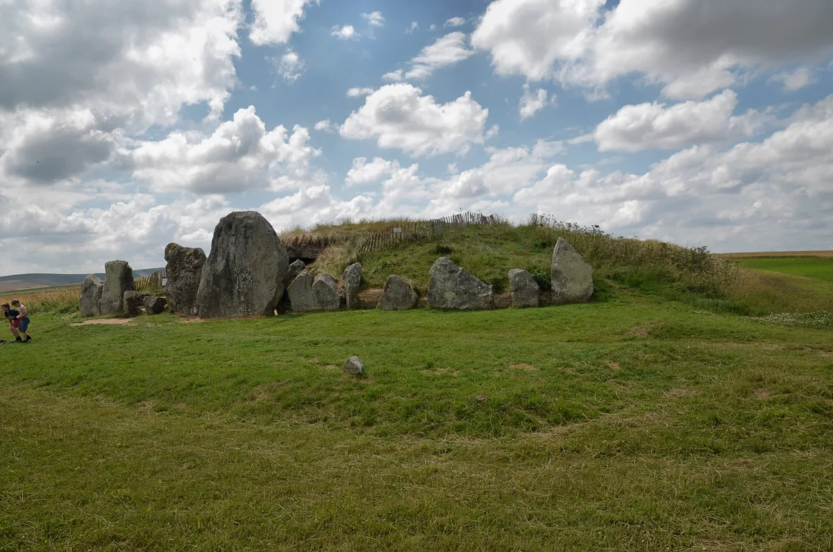
West Kennet Long Barrow
Hill forts · 0.9 km

West Kennet Avenue
Archaeological sites · 1.0 km

West Kennet Avenue
Archaeological sites · 1.0 km
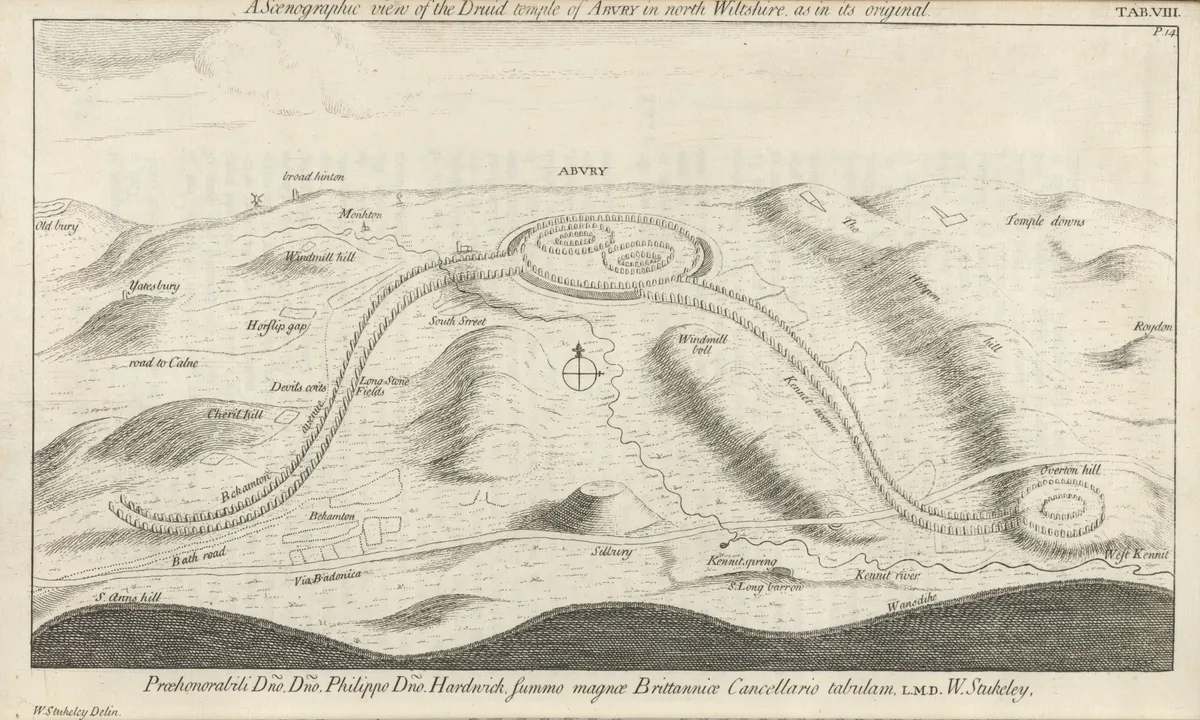
Beckhampton Avenue
UNESCO World Heritage · 1.4 km

Eve
Archaeological sites · 1.4 km
Adam
Archaeological sites · 1.4 km

Trusloe Manor
Manor houses · 1.4 km

Unidentified Monument In Churchyard, 11 Metres South West Of South Aisle, Church Of St James
Memorials & monuments · 1.4 km

Avebury
Towns & cities · 1.4 km
Nearby
📷 5Mountains & hills · South West England
Silbury Hill
Silbury Hill — mountain in england south east. Elevation: 167 m. Operated by English Heritage.
📷 5Archaeological sites · South East England
Silbaby
Silbaby — a archaeological in england-south-east, United Kingdom.
📷 5Mountains & hills · South West England
Waden Hill
Waden Hill — mountain in england south east. Elevation: 192 m.
📷 5Hill forts · South West England
West Kennet Long Barrow
West Kennet Long Barrow — Neolithic tomb or barrow in Wiltshire, England, UK.
📷 5Archaeological sites · South East England
West Kennet Avenue
West Kennet Avenue — a archaeological in england-south-east, United Kingdom.
📷 5Archaeological sites · South East England
West Kennet Avenue
West Kennet Avenue — archaeological in england south east.
Where to eat & stay near Silbury Hill
Places to stay
 📷 5
📷 5 📷 7
📷 7Hotels · South East England
Castle & Ball Hotel
Castle & Ball Hotel — a hotel in england south east.
 📷 7
📷 7 📷 5
📷 5 📷 5
📷 5B&Bs · South West England
Puckshipton House
Puckshipton House — a bed-and-breakfast in england south east.
 📷 7
📷 7Hotels · South West England
Lansdowne Strand Hotel
Lansdowne Strand Hotel — a hotel in england south east.
Places to eat & drink
 📷 7
📷 7Cafés · South East England
St Peter's and St Paul's
St Peter's and St Paul's — a café in england south east.
 📷 7
📷 7 📷 7
📷 7Historic pubs · South West England
The Queens Head Inn
The Queens Head Inn in England South West, United Kingdom.
 📷 7
📷 7Historic pubs · South West England
The Talbot Public House
The Talbot Public House in England South West, United Kingdom.
 📷 5
📷 5Historic pubs · South West England
Bricklayers Arms Public House
Bricklayers Arms Public House in England South West, United Kingdom.
 📷 5
📷 5More forests in this region
 📷 5
📷 5Forests & woodlands · South West England
Avebury Stone Circle
Avebury Stone Circle is a forest or woodland in the United Kingdom.
 📷 5
📷 5Forests & woodlands · South West England
Bowerchalke Downs SSSI
Bowerchalke Downs SSSI is a forest or woodland in the United Kingdom.
 📷 5
📷 5Forests & woodlands · South West England
Broadcroft Quarry Butterfly Reserve
Broadcroft Quarry Butterfly Reserve is a forest or woodland in the United Kingdom.
 📷 5
📷 5Forests & woodlands · South West England
Chickengrove Bottom SSSI
Chickengrove Bottom SSSI is a forest or woodland in the United Kingdom.
Frequently asked questions
- Where is Silbury Hill?
- Silbury Hill is in South-East England, United Kingdom (postcode SN8 1QH), in the parish of Avebury.
- What is Silbury Hill?
- Silbury Hill is a forest or woodland in the United Kingdom.
- How do I get to Silbury Hill?
- Drivers can use postcode SN8 1QH.
- Is Silbury Hill a protected site?
- Yes — Silbury Hill is part of the Silbury Hill SSSI Site of Special Scientific Interest and the Cotswolds National Landscape (AONB).
- Is Silbury Hill free to visit?
- Yes, Silbury Hill is free to enter.
- How do I get to Silbury Hill?
- Drivers can navigate to postcode SN8 1QH. It sits within the East Wiltshire parliamentary constituency.