
Historic bridges · East of England
Weir Bridge
In or near Lyng.
Weir Bridge — Grade II listed building-listed bridge in england-east-midlands, United Kingdom.

Evelyn Simak — CC BY-SA 2.0 via Wikimedia Commons licence

Plan your visit
- Typical visit
- 15 min–30 min
- Nearest railway station
- Dereham · 9.1 km
- Free entry
- Dog-friendly
Getting there & planning your visit
To visit Weir Bridge, the nearest railway station is Dereham, located 9.1 km away. The postcode for sat-nav is NR9 5RB, and entry to the bridge is free.
About
Weir Bridge is a Grade II listed building-listed bridge in england-east-midlands, United Kingdom, registered on the National Heritage List for England (NHLE entry 1169159). Listed status protects buildings and structures of special architectural or historic interest. See the linked Wikipedia article for further details.
Photo gallery
Heritage listing
Details TG 01 NE LYNG LYNG ROAD (north west side) 4/32 Weir Bridge. GV II Former road bridge incorporating a sluice to former watermill. Probably C18. Brick. 4 segmental vaults. Long swept parapet to downstream side with triangular coping. Shorter parapet to other side with blue bullnose coping. Sluice-gate to upstream side of easternmost vault. Included for group value with Mill House (4/31). Listing NGR: TG0715017865 Legacy The contents of this record have been generated from a legacy data system. Legacy System number: 220738 Legacy System: LBS
From the Historic England List Entry under OGL v3.
Official information
Sparham Pools is a nature reserve located near the River Wensum, featuring a tranquil lake that was once a gravel pit. Visitors can enjoy birdwatching and observe various species of ducks and other wildlife throughout the year.
Protected designations
- Site of Special Scientific Interest: River Wensum SSSI
- Area of Outstanding Natural Beauty: Norfolk Coast
Designations sourced from Natural England open data under OGL v3.
Place summary
Weir Bridge is a Grade II listed bridge located in the East Midlands. It is recognised for its architectural significance and historical value.
AI-generated from the structured facts on this page (operator, designation, listing, era). Not a substitute for visiting.
- Coordinates
- 52.7188, 1.0657
- County
- Norfolk
- District
- Breckland
- Parish
- Lyng
- Postcode
- NR9 5RB
- Parliamentary constituency
- Mid Norfolk
- Phone
- 01603 625540
- Nearest railway station
- Dereham — 9.1 km
- Opening
- Dawn till dusk, every day, all year round
- Official site
- www.norfolkwildlifetrust.org.uk
Sources
- wikidata: Q26462366 (CC0)
Other places nearby

Lyng Village Sign
Public art & sculpture · 0.2 km

Lyng
Villages · 0.2 km

Sparham Pools Nature Reserve
Forests & woodlands · 0.3 km

Lyng
Towns & cities · 0.4 km

Utopia Paradise
Campsites · 0.5 km

St Edmund's Chapel
Chapels · 0.9 km
Saint Edmund's Chapel
Historic houses · 0.9 km
Sparham
Towns & cities · 1.8 km

Elsing
Villages · 2.1 km
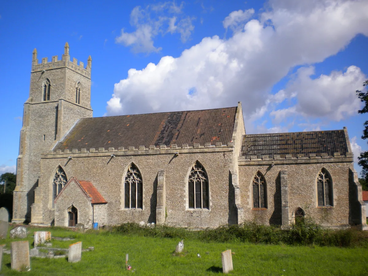
St Mary's Church, Elsing
Historic churches · 2.4 km

Elsing War Memorial
Memorials & monuments · 2.4 km

Elsing Village Sign
Public art & sculpture · 2.4 km
Nearby
📷 3Public art & sculpture · East of England
Lyng Village Sign
Lyng Village Sign — a public art in england-east-midlands, United Kingdom.
📷 5📷 3Forests & woodlands · East of England
Sparham Pools Nature Reserve
Sparham Pools Nature Reserve is a forest or woodland in the United Kingdom.
Flagship📷 5Towns & cities · East of England
Lyng
Lyng — village and civil parish in the English county of Norfolk.
📷 5📷 2Chapels · East of England
St Edmund's Chapel
St Edmund's Chapel — ruinous chapel in Lyng, Breckland, Norfolk, England, UK.
Where to eat & stay near Weir Bridge
Places to stay
📷 5 📷 5
📷 5Campsites · East of England
Get Away Hide Away
Get Away Hide Away — a campsite in england east midlands.
 📷 5
📷 5Campsites · East of England
Whitwell and Reepham Railway Camping
Whitwell and Reepham Railway Camping — a campsite in england east midlands.
 📷 3
📷 3Campsites · East of England
Park Farm Camping
Park Farm Camping — a campsite in england east midlands.
 📷 5
📷 5 📷 5
📷 5Places to eat & drink
 📷 5
📷 5 📷 5
📷 5Historic pubs · East of England
The Marlpit Public House
The Marlpit Public House in England East, United Kingdom.
 📷 5
📷 5Historic pubs · East of England
Buckinghamshire Arms Public House
Buckinghamshire Arms Public House in England East, United Kingdom.
 📷 5
📷 5Historic pubs · East of England
Gibraltar Gardens
Gibraltar Gardens in England East, United Kingdom.
 📷 5
📷 5Historic pubs · East of England
Green Dragon Public House
Green Dragon Public House in England East, United Kingdom.
 📷 5
📷 5More bridges in this region
.JPG?width=1200) 📷 5
📷 5Historic bridges · East of England
Albert Bridge
Albert Bridge is a historic bridge in the United Kingdom.
.jpg?width=1200) 📷 5
📷 5Historic bridges · East of England
Bedford Town Bridge
Bedford Town Bridge is a historic bridge in the United Kingdom.
 📷 5
📷 5Historic bridges · East of England
Bethnal Green and King's Lynn Line
Bethnal Green and King's Lynn Line is a historic bridge in the United Kingdom.
 📷 5
📷 5Historic bridges · East of England
Bethnal Green and King's Lynn Line
Bethnal Green and King's Lynn Line is a historic bridge in the United Kingdom.
Frequently asked questions
- Where is Weir Bridge?
- Weir Bridge is in Norfolk, the East Midlands, United Kingdom (postcode NR9 5RB), in the parish of Lyng.
- What is Weir Bridge?
- Weir Bridge — Grade II listed building-listed bridge in england-east-midlands, United Kingdom.
- How do I get to Weir Bridge?
- The nearest railway station is Dereham, about 9.1 km away. Drivers can use postcode NR9 5RB.
- Is Weir Bridge a listed building?
- Weir Bridge is officially recognised as Grade II listed building listed.
- Is Weir Bridge a protected site?
- Yes — Weir Bridge is part of the River Wensum SSSI Site of Special Scientific Interest and the Norfolk Coast National Landscape (AONB).
- Is Weir Bridge free to visit?
- Yes, Weir Bridge is free to enter.
- How do I get to Weir Bridge?
- Drivers can navigate to postcode NR9 5RB. It sits within the Mid Norfolk parliamentary constituency.