
Historic houses · East of England
Saint Edmund's Chapel
In or near Lyng.
Saint Edmund's Chapel — a historic house in england-east-midlands, United Kingdom.

Blue Square Thing — CC BY-SA 4.0 via Wikimedia Commons licence

Plan your visit
- Typical visit
- 1 h–2 h
- Nearest railway station
- Dereham · 9.5 km
- Free entry
- Family-friendly
- Limited wheelchair access
About
Saint Edmund's Chapel is a historic house located in england-east-midlands, United Kingdom. Sourced from OpenStreetMap (ODbL licence); see local listings for visitor information, opening hours and admission details.
Photo gallery
Official information
Saint Edmund's Chapel consists of the remains of a medieval priory church, likely dating back to the 12th century. The site has yielded a variety of archaeological finds from different periods, including prehistoric, Roman, and Saxon artifacts.
Protected designations
- Site of Special Scientific Interest: River Wensum SSSI
Designations sourced from Natural England open data under OGL v3.
Place summary
Saint Edmund's Chapel is a historic site located in the East Midlands. This chapel is notable for its architectural significance and historical context within the region.
AI-generated from the structured facts on this page (operator, designation, listing, era). Not a substitute for visiting.
- Coordinates
- 52.7136, 1.0763
- County
- Norfolk
- District
- Breckland
- Parish
- Lyng
- Postcode
- NR9 5LL
- Parliamentary constituency
- Mid Norfolk
- Nearest railway station
- Dereham — 9.5 km
- Official site
- www.heritage.norfolk.gov.uk
Sources
- osm: node/5059813956 (ODbL)
Other places nearby
St Edmund's Chapel
Chapels · 0.0 km

Sparham Pools Nature Reserve
Forests & woodlands · 0.7 km

Lyng
Villages · 0.7 km

Weir Bridge
Historic bridges · 0.9 km

Lyng Village Sign
Public art & sculpture · 1.0 km

Lyng
Towns & cities · 1.3 km

Utopia Paradise
Campsites · 1.4 km

Lenwade
Villages · 2.2 km
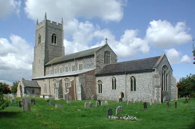
Sparham
Towns & cities · 2.4 km

Elsing
Villages · 2.6 km
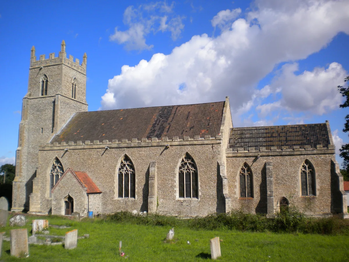
St Mary's Church, Elsing
Historic churches · 2.8 km

Elsing War Memorial
Memorials & monuments · 2.8 km
Nearby
📷 2Chapels · East of England
St Edmund's Chapel
St Edmund's Chapel — ruinous chapel in Lyng, Breckland, Norfolk, England, UK.
📷 3Forests & woodlands · East of England
Sparham Pools Nature Reserve
Sparham Pools Nature Reserve is a forest or woodland in the United Kingdom.
📷 5📷 3Historic bridges · East of England
Weir Bridge
Weir Bridge — Grade II listed building-listed bridge in england-east-midlands, United Kingdom.
📷 3Public art & sculpture · East of England
Lyng Village Sign
Lyng Village Sign — a public art in england-east-midlands, United Kingdom.
Flagship📷 5Towns & cities · East of England
Lyng
Lyng — village and civil parish in the English county of Norfolk.
Where to eat & stay near Saint Edmund's Chapel
Places to stay
📷 5 📷 5
📷 5Campsites · East of England
Get Away Hide Away
Get Away Hide Away — a campsite in england east midlands.
 📷 5
📷 5Campsites · East of England
Whitwell and Reepham Railway Camping
Whitwell and Reepham Railway Camping — a campsite in england east midlands.
 📷 5
📷 5 📷 3
📷 3Campsites · East of England
Park Farm Camping
Park Farm Camping — a campsite in england east midlands.
 📷 5
📷 5Places to eat & drink
 📷 5
📷 5 📷 5
📷 5Historic pubs · East of England
The Marlpit Public House
The Marlpit Public House in England East, United Kingdom.
 📷 5
📷 5Historic pubs · East of England
Buckinghamshire Arms Public House
Buckinghamshire Arms Public House in England East, United Kingdom.
 📷 5
📷 5Historic pubs · East of England
Gibraltar Gardens
Gibraltar Gardens in England East, United Kingdom.
 📷 5
📷 5Historic pubs · East of England
Green Dragon Public House
Green Dragon Public House in England East, United Kingdom.
 📷 5
📷 5More historic houses in this region
 📷 5
📷 5Historic houses · East of England
41 and 41a, Broad Street
41 and 41a, Broad Street — Grade II* listed house in Ely, East Cambridgeshire, England, UK.
 📷 5
📷 5Historic houses · East of England
Abbey Gate House
Abbey Gate House — house in St Albans, Hertfordshire, England, UK.
 📷 5
📷 5Historic houses · East of England
Abbey House
Abbey House — house in Cambridge, Cambridgeshire, England, UK.
.jpg?width=1200) 📷 5
📷 5Historic houses · East of England
Amores Including Outbuildings
Amores Including Outbuildings — architectural structure in Hertford, East Hertfordshire, England, UK.
Frequently asked questions
- Where is Saint Edmund's Chapel?
- Saint Edmund's Chapel is in Norfolk, the East Midlands, United Kingdom (postcode NR9 5LL), in the parish of Lyng.
- What is Saint Edmund's Chapel?
- Saint Edmund's Chapel — a historic house in england-east-midlands, United Kingdom.
- How do I get to Saint Edmund's Chapel?
- The nearest railway station is Dereham, about 9.5 km away. Drivers can use postcode NR9 5LL.
- Is Saint Edmund's Chapel a protected site?
- Yes — Saint Edmund's Chapel is part of the River Wensum SSSI Site of Special Scientific Interest.
- How do I get to Saint Edmund's Chapel?
- Drivers can navigate to postcode NR9 5LL. It sits within the Mid Norfolk parliamentary constituency.