
Mountains & hills · South Wales
Waun Lefrith
In or near Cwmllynfell.
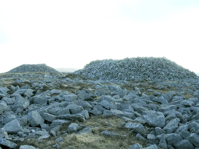
Waun Lefrith — Named summit at 679 m.

Wikimedia Commons contributors — see linked file page for photographer and licence licence

Plan your visit
- Typical visit
- 3 h–8 h
- Best time of year
- Late spring – early autumn (May–Oct)
- Free entry
- Dog-friendly
About
Waun Lefrith is a named summit in the United Kingdom. Wikidata describes it as: "Named summit at 679 m.". Coordinates: 51.8787°, -3.7471°.
Photo gallery
From the Wikipedia article
Waun Lefrith is a top of Picws Du and is also the westernmost of the Carmarthen Fans (Welsh: Bannau Sir Gaer), a group of peaks within the Black Mountain (Y Mynydd Du) of the Brecon Beacons National Park (Parc Cenedlaethol Bannau Brycheiniog). It lies within Carmarthenshire, Wales. The summit plateau of the mountain reaches a height of 2221 feet above sea level. Picws Du and Fan Foel are the other, higher summits of the Carmarthen Fans (Bannau Sir Gaer). The glacial lake of Llyn y Fan Fach dominates the panorama to the north of the peak. Beyond the lake to the north lies the Usk Reservoir and then the Cambrian Mountains on the horizon. Swansea Bay and the Bristol Channel are visible to the south across the undulating dip slope of the mountain. The Towy (Tywi) valley lies to the west, with Llandovery and Llandeilo as important market towns nearest to the hills.
Excerpt from Wikipedia under CC BY-SA 4.0. See the source article linked in Sources below.
Background
Visiting
lake beyond Picws Du]] The entire mountain is open country and so freely accessible to walkers. The most popular path of ascent is that from the car park at the foot of the water board road running steeply up to Llyn y Fan Fach and over which lake the mountain looms. It lies to the east of the small village of Llanddeusant. However, the road is in very bad condition for car travel, and poorly signposted. The ridge running up to the peak starts at the dam on the lake (where there is a small refuge hut or bothy) and rises west up the hill before turning along the edge of the cliff above the lake. The walk along the escarpment gives excellent aerial views of the lake, although some care is…
Sourced from Wikipedia under CC BY-SA 4.0.
- Coordinates
- 51.8787, -3.7471
- Address
- Carmarthenshire, Wales
Sources
- osm: n3325983743 (ODbL)
- wikipedia: Waun Lefrith (CC BY-SA 4.0)
- commons: Waunlefrith.JPG (CC BY-SA 4.0)
Other places nearby
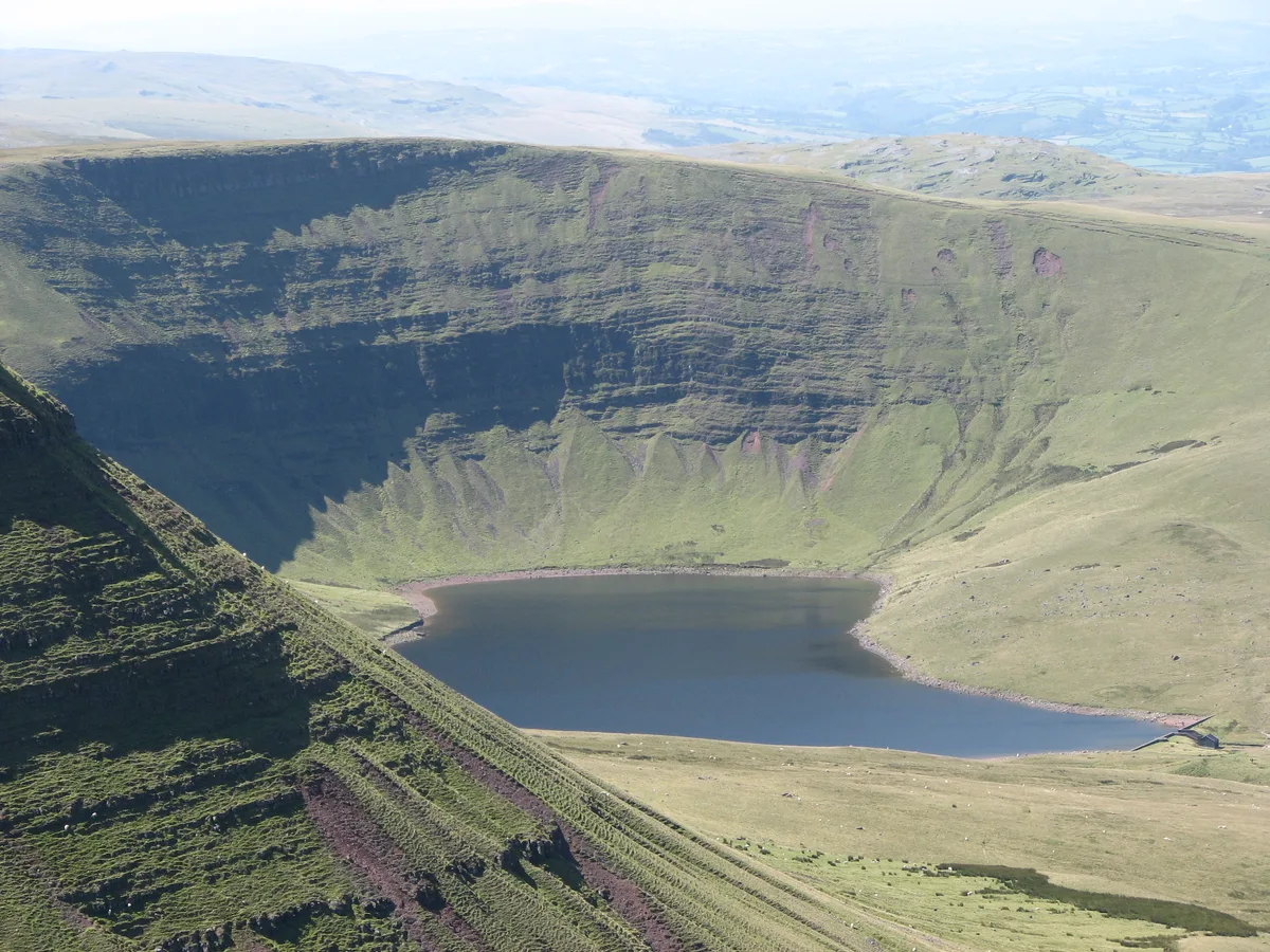
Llyn y Fan Fach
Reservoirs & lochs · 0.5 km

Bannau Sir Gaer - Picws Du
Mountains & hills · 1.4 km
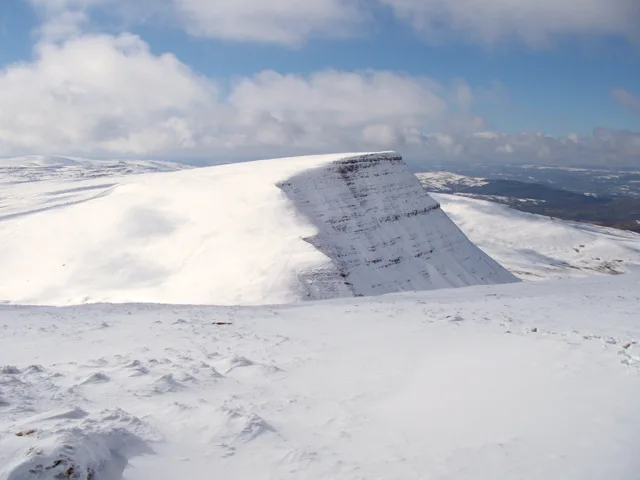
Picws Du
Mountains & hills · 1.4 km
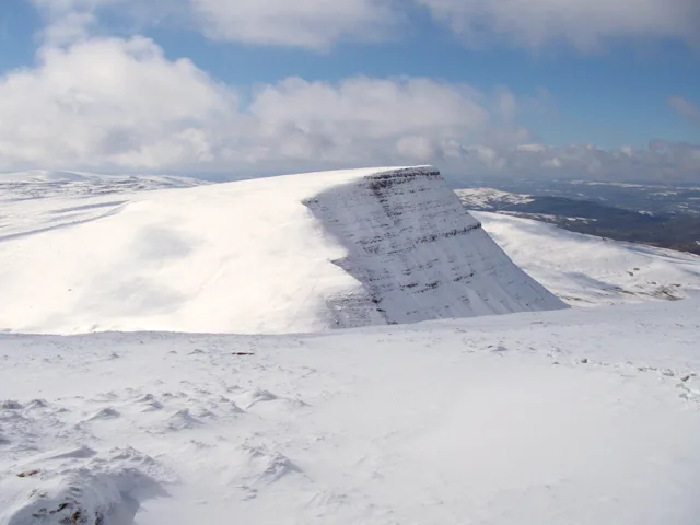
Picws Du
Natural landmarks · 1.4 km

Carreg Yr Ogof
Mountains & hills · 2.0 km

Gaer Fan Foel
Literary houses · 2.1 km

Bridge over Nant Melyn
Historic bridges · 2.3 km
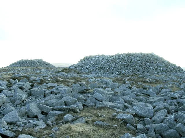
Garreg Las
Natural landmarks · 2.4 km
Garreg Las
Mountains & hills · 2.4 km

Fan Foel
Mountains & hills · 2.4 km

Fan Foel
Mountains & hills · 2.4 km

Twr y Fan Foel
Mountains & hills · 2.7 km
Nearby
📷 3Reservoirs & lochs · South Wales
Llyn y Fan Fach
Llyn y Fan Fach — reservoir in Carmarthenshire, Wales, UK.
📷 5Mountains & hills · South Wales
Bannau Sir Gaer - Picws Du
Bannau Sir Gaer - Picws Du — a hill or mountain in wales south.
📷 3📷 3📷 5Mountains & hills · South Wales
Carreg Yr Ogof
Carreg Yr Ogof — mountain in wales south. Elevation: 600 m.
📷 5Where to eat & stay near Waun Lefrith
Places to stay
 📷 5
📷 5Campsites · South Wales
The Wildman Woods Campsite
The Wildman Woods Campsite — a campsite in wales south.
 📷 5
📷 5 📷 5
📷 5Caravan parks · South Wales
Black Mountain Caravan and Camping Park
Black Mountain Caravan and Camping Park — a caravan park in wales south.
 📷 5
📷 5 📷 5
📷 5Campsites · South Wales
Brecon Beacons Camping & Caravan Park
Brecon Beacons Camping & Caravan Park — a campsite in wales south.
 📷 5
📷 5Places to eat & drink
 📷 5
📷 5 📷 7
📷 7More mountains in this region
 Flagship📷 3
Mountains & hills · South Wales
Milford Haven Waterway
Milford Haven Waterway — ria, or flooded valley, in Pembrokeshire, south-west Wales, UK.
 📷 5
📷 5Mountains & hills · South Wales
Ogof Ffynnon Ddu
Ogof Ffynnon Ddu — cave in the Upper Swansea Valley in South Wales.
 📷 3
📷 3 📷 3
📷 3Frequently asked questions
- Where is Waun Lefrith?
- Waun Lefrith is in South Wales, United Kingdom.
- What is Waun Lefrith?
- Waun Lefrith — Named summit at 679 m.
- How do I get to Waun Lefrith?
- The nearest town is Cwmllynfell. Its coordinates are 51.8787°, -3.7471°.
- Is Waun Lefrith free to visit?
- Yes, Waun Lefrith is free to enter.