Mountains & hills · South Wales
Garreg Las
In or near Cwmllynfell.
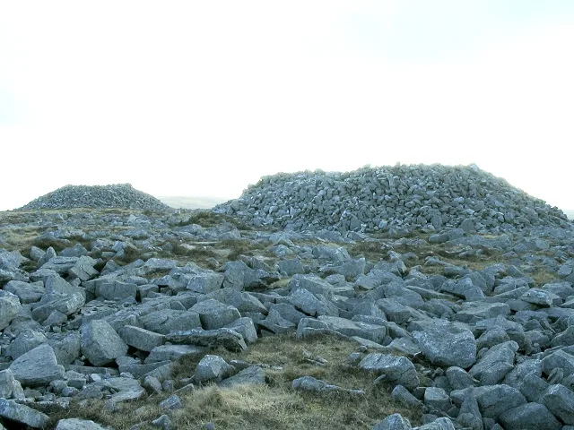
Garreg Las — Named summit at 647 m.

Wikimedia Commons contributors — see linked file page for photographer and licence licence
Plan your visit
- Typical visit
- 3 h–8 h
- Best time of year
- Late spring – early autumn (May–Oct)
- Free entry
- Dog-friendly
About
Garreg Las is a named summit in the United Kingdom. Wikidata describes it as: "Named summit at 647 m.". Coordinates: 51.8680°, -3.7769°.
Photo gallery
From the Wikipedia article
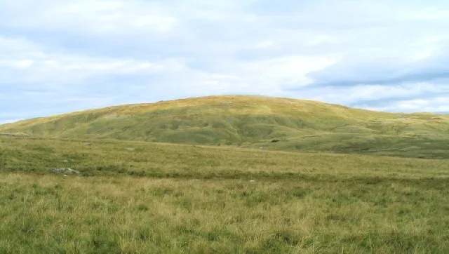
Garreg Las is a subsidiary summit of Fan Brycheiniog in the Brecon Beacons National Park (Welsh: Parc Cenedlaethol Bannau Brycheiniog) in Carmarthenshire, southern Wales. Its summit sits towards the northern end of a broad north–south ridge, Esgair Hir ("long ridge"), at 635 metres (2,083 ft) above sea level. The hill is sometimes referred to as Twyn Swnd. A subsidiary top just over 1 kilometre (0.62 mi) to the north of the main summit is Carreg yr Ogof (meaning "rock of the cave"), whose name reflects its limestone geology. Its top, at 585 metres (1,919 ft) above sea level, is crowned by a trig point.
Excerpt from Wikipedia under CC BY-SA 4.0. See the source article linked in Sources below.
Background
Visiting
The hill is entirely classed as open country and therefore freely available to walkers. A bridleway approaches the hill from Llanddeusant to the north and is followed in part by the Beacons Way which runs from Llangadog to Abergavenny and which continues southwards over the hill.
Sourced from Wikipedia under CC BY-SA 4.0.
- Coordinates
- 51.8680, -3.7769
- Address
- Carmarthenshire, Wales
Sources
- osm: n6281616248 (ODbL)
- wikipedia: Garreg Las (CC BY-SA 4.0)
- commons: Carnau'r Garreg Las - geograph.org.uk - 152246.jpg (CC BY-SA 4.0)
Other places nearby
Garreg Las
Natural landmarks · 0.0 km

Black Mountain
Mountains & hills · 0.5 km

Carreg Yr Ogof
Mountains & hills · 1.1 km

Cefn y Cylchau
Mountains & hills · 2.1 km
Waun Lefrith
Mountains & hills · 2.4 km

Ogof Pwll Swnd
Caves · 2.5 km

Dan Y Lleuad Wen
Caves · 2.6 km
Ogof Dan y Lleuad Wen
Caves · 2.6 km

Tyle Garw
Mountains & hills · 2.6 km
Llyn y Fan Fach
Reservoirs & lochs · 2.9 km
Foel Fraith
Mountains & hills · 2.9 km

Pen Bwlch y Ddeuwynt
Mountains & hills · 3.0 km
Nearby
📷 3📷 5📷 5Mountains & hills · South Wales
Carreg Yr Ogof
Carreg Yr Ogof — mountain in wales south. Elevation: 600 m.
📷 3Mountains & hills · South Wales
Cefn y Cylchau
Cefn y Cylchau — a mountain in wales-south, United Kingdom, 556 m.
📷 3📷 3Where to eat & stay near Garreg Las
Places to stay
 📷 5
📷 5Campsites · South Wales
The Wildman Woods Campsite
The Wildman Woods Campsite — a campsite in wales south.
 📷 5
📷 5 📷 5
📷 5 📷 5
📷 5Caravan parks · South Wales
Black Mountain Caravan and Camping Park
Black Mountain Caravan and Camping Park — a caravan park in wales south.
 📷 5
📷 5Campsites · South Wales
Brecon Beacons Camping & Caravan Park
Brecon Beacons Camping & Caravan Park — a campsite in wales south.
 📷 5
📷 5Places to eat & drink
 📷 5
📷 5 📷 7
📷 7More mountains in this region
 Flagship📷 3
Mountains & hills · South Wales
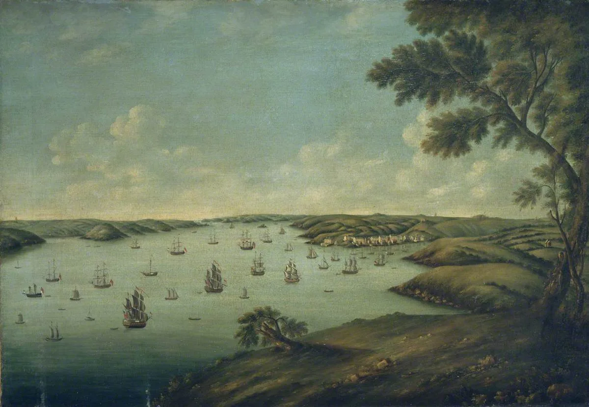
Milford Haven Waterway
Milford Haven Waterway — ria, or flooded valley, in Pembrokeshire, south-west Wales, UK.
 📷 5
📷 5Mountains & hills · South Wales
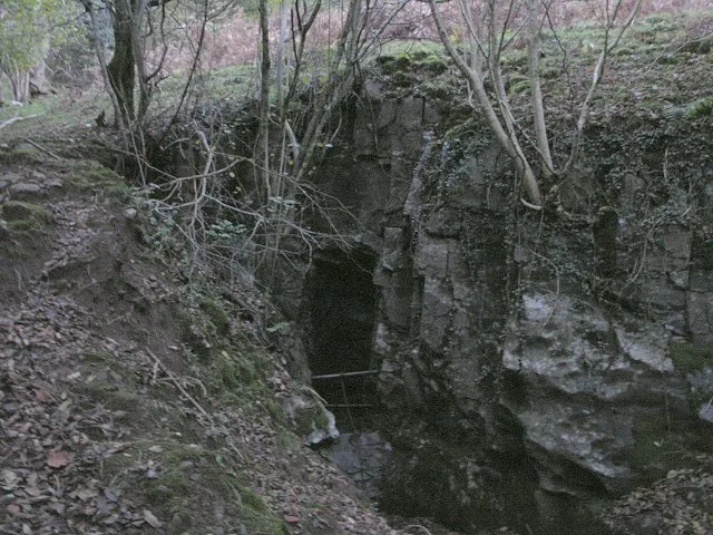
Ogof Ffynnon Ddu
Ogof Ffynnon Ddu — cave in the Upper Swansea Valley in South Wales.
 📷 3
📷 3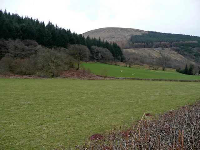 📷 3
📷 3Frequently asked questions
- Where is Garreg Las?
- Garreg Las is in South Wales, United Kingdom.
- What is Garreg Las?
- Garreg Las — Named summit at 647 m.
- How do I get to Garreg Las?
- Its coordinates are 51.8680°, -3.7769°.
- Is Garreg Las free to visit?
- Yes, Garreg Las is free to enter.