
Wildlife reserves · East of England
Wallasea Wetlands
In or near Althorne.
Wallasea Wetlands — reclaimed wetlands area located in Essex, England.

Wikimedia Commons licence
Plan your visit
- Typical visit
- 2 h–4 h
- Best time of year
- Autumn & winter (migration & wildfowl)
- Nearest railway station
- Burnham-on-Crouch · 3.5 km
- Free entry
- Dog-friendly
- Wheelchair accessible
Getting there & planning your visit
To visit Wallasea Wetlands, the nearest railway station is Burnham-on-Crouch, located 3.5 km away. Admission is free, and the site is operated by the Royal Society for the Protection of Birds.
About
Wallasea Wetlands is a wildlife reserve in the United Kingdom. It covers approximately 115 km². Managed by Royal Society for the Protection of Birds. Wikidata describes it as: "reclaimed wetlands area located in Essex, England". Coordinates: 51.6144°, 0.8542°.
Photo gallery
Summary from the official site
Wallasea Wetlands is a nature reserve featuring newly created saltmarsh, mudflats, and lagoons that support diverse wildlife. Visitors can explore six walking trails and observe various bird species, seals, and other wildlife in a habitat designed to adapt to climate change.
Read more on the official property page.
Protected designations
- Site of Special Scientific Interest: Crouch and Roach Estuaries SSSI
- Site of Special Scientific Interest: Foulness SSSI
- Ramsar wetland: Crouch & Roach Estuaries (Mid-Essex Coast Phase 3)
- Ramsar wetland: Foulness (Mid-Essex Coast Phase 5)
Designations sourced from Natural England open data under OGL v3.
From the Wikipedia article
Wallasea Wetlands is a reclaimed wetlands area located in Essex, England. It has been created as part of a government-funded wetlands scheme to halt the decline of wild and endangered birds caused by the drainage and development of former wetland sites. It is the largest man-made marine wetland area in the United Kingdom. The wetland spans an area of 115 hectares (1.15 km2) and is sited on Wallasea Island, which borders two rivers (River Crouch to the north and River Roach to the south-east). They provide winter grounds for wading birds, as well as breeding and nursery areas for aquatic wildlife, such as bass, mullet, flatfish and herring and even some types of dolphin. The area will also help to reduce the flooding of properties near the River Crouch by providing a run-off area for floodwaters. In the process being termed "managed re-alignment", the seawall that protects croplands and property was re-established in more tenable positions, three miles behind the new wetlands, which will provide habitat for birds like oystercatchers, avocets and little terns, according to the press release issued at the time. Walkers and birdwatchers will be able to enjoy the scenery by means of a new footpath that has been built on the top of this new relocated sea wall. Construction was completed in 2006 and by 2011 the land had evolved into wetland, mudflats, saline lagoons and seven artificial islands, allowing the wildlife to reside on these areas. An extension to the scheme, using 2,400 shiploads of spoil excavated from London's Crossrail tunnels, was completed in July 2015, when an additional area of land was opened to tidal flow. This formed the Jubilee Marsh (160 ha / 400 acres), a nature reserve managed by the RSPB. The whole project was completed in 2025.
Excerpt from Wikipedia under CC BY-SA 4.0. See the source article linked in Sources below.
Background
History
Wetlands have existed on Wallasea Island since ancient times, when much of the Essex coastline was bordered by rich breeding grounds for birds. In the 15th century these lands were drained by Dutch settlers for agricultural use with the construction of the original sea wall. Over time more wetland areas were drained for development, leading to the reduction and endangerment of the wildlife that depended on it. During the late 1980s and early 1990s two areas of salt marsh and mud flat at Lappel Bank in the Medway Estuary in Kent and Fagbury Flats in the Orwell Estuary in Suffolk (both on the east coast of England) were drained and port developments at Sheerness and Felixstowe were built in…
Sourced from Wikipedia under CC BY-SA 4.0.
- Coordinates
- 51.6144, 0.8542
- Phone
- 01702 669346
- Nearest railway station
- Burnham-on-Crouch — 3.5 km
- Opening
- Daily 8am-dusk (or 8pm whichever is earlier); closed outside of these hours.
- Official site
- www.rspb.org.uk
Sources
- wikidata: Q7962984 (CC0)
- wikipedia: Wallasea Wetlands (CC BY-SA 4.0)
Other places nearby

School House Viewpoint
Viewpoints · 0.8 km

Crouch harbour
Marinas · 1.1 km

River Roach
Museums · 1.2 km

Sea End Caravan Park
Caravan parks · 2.0 km

Half Moon Viewpoint
Viewpoints · 2.0 km

Wallasea Island
Islands · 2.2 km

Silver Road Caravan Park
Caravan parks · 2.4 km

Ye Olde White Harte Hotel
Hotels · 2.8 km

Beagle Viewpoint
Viewpoints · 2.9 km

Burnham-on-Crouch War Memorial
Memorials & monuments · 2.9 km
War Memorial
Memorials & monuments · 2.9 km
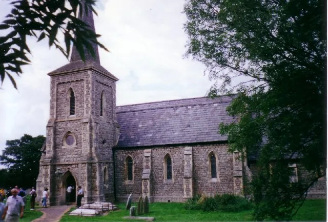
Saint Mary the Virgin, Foulness Island
Historic churches · 3.0 km
Nearby
📷 3Viewpoints · East of England
School House Viewpoint
School House Viewpoint is a viewpoint in the United Kingdom.
📷 4📷 3Museums · East of England
River Roach
River Roach — a museum in england-east, United Kingdom.
📷 5Caravan parks · East of England
Sea End Caravan Park
Sea End Caravan Park — a caravan park in england east.
📷 5Viewpoints · East of England
Half Moon Viewpoint
Half Moon Viewpoint is a viewpoint in the United Kingdom.
📷 5Islands · East of England
Wallasea Island
Wallasea Island — low lying island on coast of Essex, United Kingdom.
Where to eat & stay near Wallasea Wetlands
Places to stay
📷 5Caravan parks · East of England
Sea End Caravan Park
Sea End Caravan Park — a caravan park in england east.
📷 5Caravan parks · East of England
Silver Road Caravan Park
Silver Road Caravan Park — a caravan park in england east.
📷 5Hotels · East of England
Ye Olde White Harte Hotel
Ye Olde White Harte Hotel — a hotel in england east.
 📷 5
📷 5Campsites · East of England
Huntsman & Hounds Camping
Huntsman & Hounds Camping — a campsite in england east.
 📷 5
📷 5Caravan parks · East of England
Waterside Holiday Park
Waterside Holiday Park — a caravan park in england east.
 📷 5
📷 5Caravan parks · East of England
Steeple Bay Holiday Park
Steeple Bay Holiday Park — a caravan park in england east.
Places to eat & drink
 📷 5
📷 5Historic pubs · East of England
The George And Dragon Public House
The George And Dragon Public House in England East, United Kingdom.
 📷 5
📷 5Historic pubs · East of England
The Black Lion Public House
The Black Lion Public House in England East, United Kingdom.
 📷 5
📷 5Historic pubs · East of England
The Mayland Mill Public House
The Mayland Mill Public House in England East, United Kingdom.
 📷 5
📷 5Historic pubs · East of England
The Cherry Tree Public House
The Cherry Tree Public House in England South East, United Kingdom.
 📷 5
📷 5Historic pubs · East of England
The Fox And Hounds
The Fox And Hounds in England East, United Kingdom.
 📷 5
📷 5Historic pubs · East of England
Cottages And The Golden Lion Public House
Cottages And The Golden Lion Public House in England South East, United Kingdom.
More places run by Royal Society for the Protection of Birds
 📷 5
📷 5Hill forts · South East England
Shornemead Fort
Shornemead Fort — fort in Shorne, Kent, England, UK.
 📷 5
📷 5Wildlife reserves · South East England
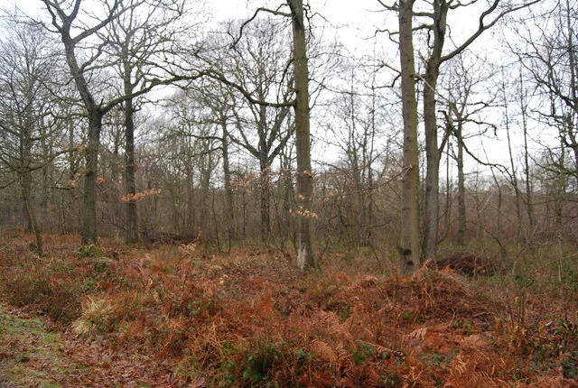
Amberley Wild Brooks
Amberley Wild Brooks — nature reserve in the United Kingdom.
 📷 5
📷 5Wildlife reserves · South East England
Blean Woods RSPB Reserve
Blean Woods RSPB Reserve — RSPB nature reserve in the United Kingdom.
 📷 5
📷 5Wildlife reserves · South East England
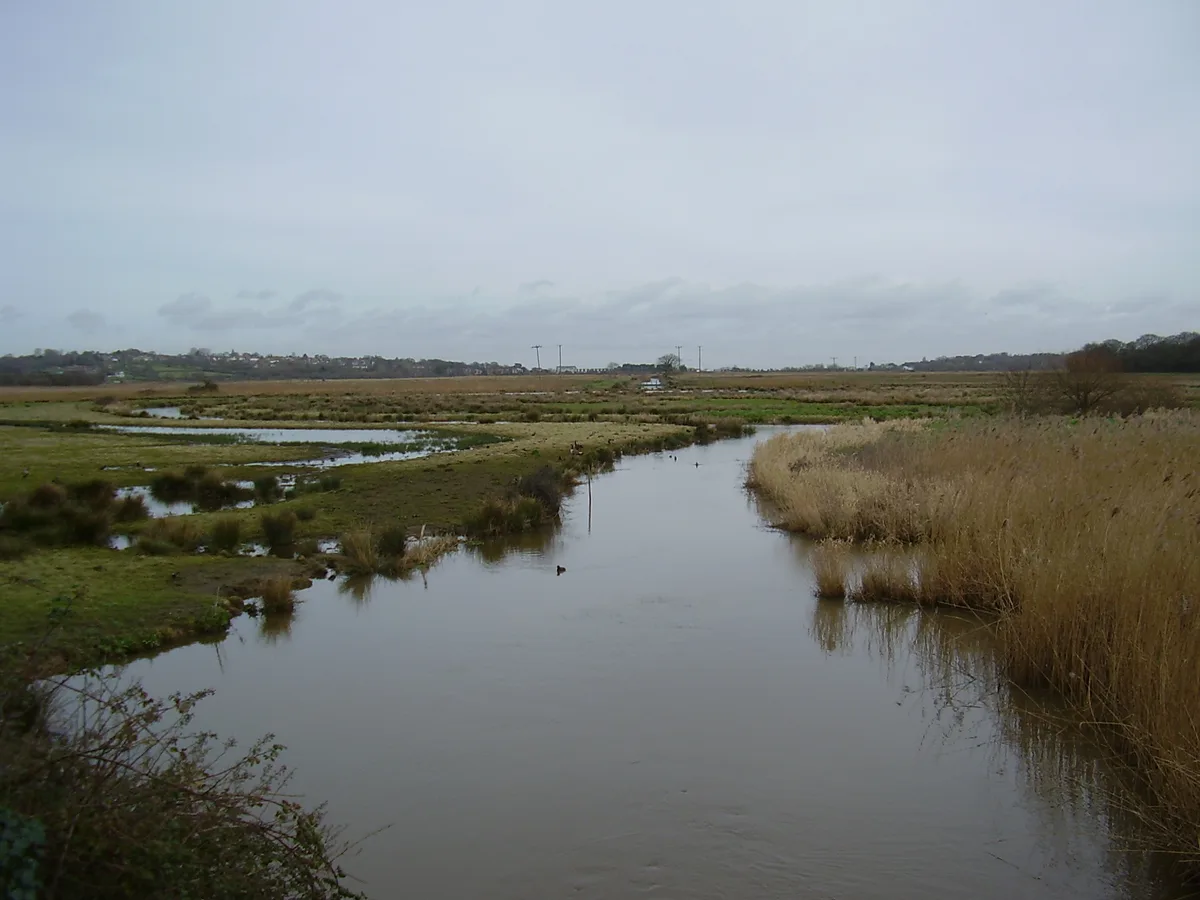
Brading Marshes RSPB reserve
Brading Marshes RSPB reserve — RSPB nature reserve on the Isle of Wight.
More places in this region
 Flagship📷 10
Wildlife reserves · East of England
Amwell Quarry
Amwell Quarry — nature reserve in United Kingdom.
 Flagship📷 10
Wildlife reserves · East of England
Aubrey Buxton Nature Reserve
Aubrey Buxton Nature Reserve — Essex Wildlife Trust Nature reserve.
 Flagship📷 10
Wildlife reserves · East of England
Canvey Wick
Canvey Wick — nature reserve in Essex, United Kingdom.
 Flagship📷 10
Wildlife reserves · East of England
Crowsheath Wood
Crowsheath Wood — Essex Wildlife Trust Nature reserve.
Frequently asked questions
- Where is Wallasea Wetlands?
- Wallasea Wetlands is in East of England, United Kingdom.
- What is Wallasea Wetlands?
- Wallasea Wetlands — reclaimed wetlands area located in Essex, England.
- How do I get to Wallasea Wetlands?
- The nearest railway station is Burnham-on-Crouch, about 3.5 km away. The nearest town is Althorne. Its coordinates are 51.6144°, 0.8542°.
- Who runs Wallasea Wetlands?
- Wallasea Wetlands is operated by Royal Society for the Protection of Birds.
- Is Wallasea Wetlands a protected site?
- Yes — Wallasea Wetlands is part of the Crouch and Roach Estuaries SSSI Site of Special Scientific Interest and the Foulness SSSI Site of Special Scientific Interest.
- Is Wallasea Wetlands free to visit?
- Yes, Wallasea Wetlands is free to enter.
- How do I get to Wallasea Wetlands?
- The nearest railway station is Burnham-on-Crouch, about 3.5 km away.
- Are dogs allowed at Wallasea Wetlands?
- Most wildlife reserves allow dogs on lead only, with restrictions during ground-nesting bird season (March-July). Check signage at the reserve.