
Hill forts · North East England
Vindobala
In or near Horsley.
Vindobala — Ancient Roman fort at Northumberland, the fourth fort on Hadrian's Wall, after Segedunum (Wallsend), Pons Aelius (Newcastle) and Condercum (Benwell).

Wikimedia Commons contributors — see linked file page for photographer and licence licence

Plan your visit
- Typical visit
- 1 h–2 h
- Nearest railway station
- Wylam · 3.0 km
- Free entry
- Dog-friendly
Getting there & planning your visit
To visit Vindobala, the nearest railway station is Wylam, located 3 km away. The postcode for navigation is NE15 0JA. Entry to the site is free.
About
Vindobala is a hill fort in the United Kingdom. Part of Hadrian's Wall. Wikidata describes it as: "Ancient Roman fort at Northumberland, the fourth fort on Hadrian's Wall, after Segedunum (Wallsend), Pons Aelius (Newcastle) and Condercum (Benwell)". Coordinates: 55.0010°, -1.8260°.
Photo gallery
From the Wikipedia article
Vindobala (Brytonnic Celtic : windo- fair, white, bala place, situation?, cf. Old Irish bal, bail place, situation, condition, good luck) was a Roman fort with the modern name, and in the hamlet of, Rudchester, Northumberland. It was the fourth fort on Hadrian's Wall, and situated about 11 kilometres (6.8 mi) to the west of Condercum (Benwell) fort and 7.5 miles east of Halton Chesters fort. The site of the fort is bisected by the B6318 Military Road, which runs along the route of the wall at that point.
Excerpt from Wikipedia under CC BY-SA 4.0. See the source article linked in Sources below.
Background
Description
The fort guards the valley of the March Burn to the west, an ancient route leading to the south towards the Tyne ford at Newburn. To the east the ground drops away to the Rudchester Burn. The fort is oblong, measuring 157 m north to south by 117 m east to west, and covers about 4.5 acre. It projected partially north of the wall, typical of a cavalry fort, to allow quick access to the north. There were four main gates with double portals and two smaller, single-portal gates. There was one main gate on the north wall of the fort, and the east and west main gates opened on the north side of the Roman Wall. This left a single main gate on the south wall of the fort, and two smaller gates which…
Sourced from Wikipedia under CC BY-SA 4.0.
- Coordinates
- 55.0010, -1.8260
- District
- Northumberland
- Parish
- Heddon-on-the-Wall
- Postcode
- NE15 0JA
- Parliamentary constituency
- Hexham
- Nearest railway station
- Wylam — 3 km
Sources
- wikidata: Q7932357 (CC0)
- wikipedia: Vindobala (CC BY-SA 4.0)
- commons: Befundskizze Kastell Rudchester.png (CC BY-SA 4.0)
Other places nearby

Rudchester
Historic houses · 0.0 km

Rudchester Mithraeum
Hill forts · 0.2 km

Milecastle 14
Farms (open to visitors) · 0.5 km

Milecastle 13
Archaeological sites · 0.9 km

Water Tower Approx 200 Yards East Of Heddon Steads
Memorials & monuments · 1.5 km

Hadrian's Wall and vallum from East Town House, Heddon-on-the-Wall to the A69 trunk road in wall mile 12
Archaeological sites · 1.6 km

Hadrian's Wall and vallum between the March Burn and Oatens Bank, Harlow Hill in wall miles 13,14 and 15
Archaeological sites · 1.8 km

Horsley
Towns & cities · 1.9 km

Milecastle 15
Archaeological sites · 2.0 km

Bridge Approx 50 Yards West Of Close House
Historic bridges · 2.0 km

Heddon on the Wall
Villages · 2.1 km

Close House
Hotels · 2.1 km
Nearby
📷 3Historic houses · North East England
Rudchester
Rudchester — house in Heddon-on-the-Wall, Northumberland, England, UK.
📷 3Hill forts · North East England
Rudchester Mithraeum
Rudchester Mithraeum — mithraeum at Rudchester, Heddon-on-the-Wall, United Kingdom.
📷 3Farms (open to visitors) · North East England
Milecastle 14
Milecastle 14 in England North East, United Kingdom.
📷 3Archaeological sites · North East England
Milecastle 13
Milecastle 13 in England North East, United Kingdom.
📷 5Memorials & monuments · North East England
Water Tower Approx 200 Yards East Of Heddon Steads
Water Tower Approx 200 Yards East Of Heddon Steads — a water tower in scotland-lowlands, United Kingdom.
📷 3Archaeological sites · North East England
Hadrian's Wall and vallum from East Town House, Heddon-on-the-Wall to the A69 trunk road in wall mile 12
Hadrian's Wall and vallum from East Town House, Heddon-on-the-Wall to the A69 trunk road in wall mile 12 — archaeological site in Heddon-on-the-Wall, Northumberland, England, UK.
Where to eat & stay near Vindobala
Places to stay
📷 5 📷 5
📷 5Caravan parks · North East England
High Hermitage Caravan Park
High Hermitage Caravan Park — a caravan park in scotland lowlands.
📷 5Campsites · North East England
High Hermitage Caravan Park
High Hermitage Caravan Park — a campsite in scotland lowlands.
 📷 5
📷 5 📷 5
📷 5Campsites · North East England
Wellhouse Farm Camping site
Wellhouse Farm Camping site — a campsite in scotland lowlands.
📷 5Caravan parks · North East England
Wellhouse Farm Caravan Park
Wellhouse Farm Caravan Park — a caravan park in scotland lowlands.
Places to eat & drink
 📷 5
📷 5Historic pubs · North East England
The Crown And Anchor
The Crown And Anchor in Scotland Lowlands, United Kingdom.
 📷 5
📷 5 📷 5
📷 5 📷 5
📷 5Historic pubs · North East England
The Seven Stars Public House
The Seven Stars Public House in Scotland Lowlands, United Kingdom.
 📷 4
📷 4Historic pubs · North East England
Winlaton Mill
Winlaton Mill in England North East, United Kingdom.
 📷 4
📷 4More places in this region
 📷 3
📷 3Hill forts · North East England
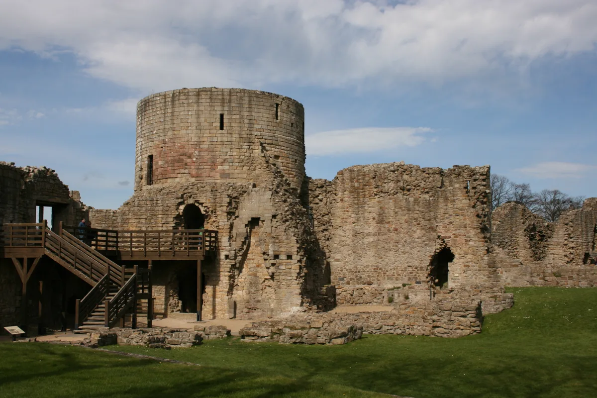
Barnard Castle
Barnard Castle is a hill fort in the United Kingdom.
 📷 3
📷 3Hill forts · North East England
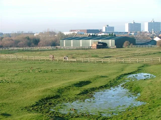
Stainsby
Stainsby — abandoned village in North Yorkshire, England, UK.
 📷 4
📷 4Hill forts · North East England
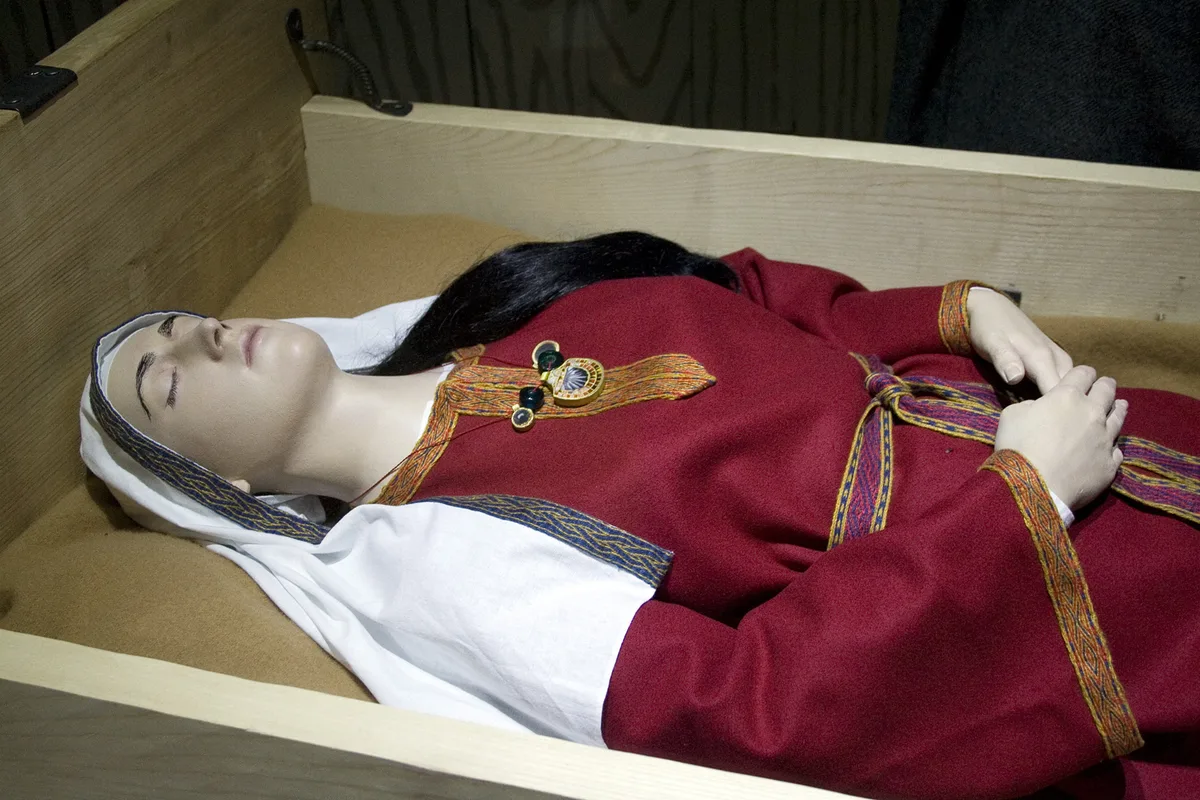
Street House Anglo-Saxon cemetery
Street House Anglo-Saxon cemetery — cemetery in North Yorkshire, England.
 📷 3
📷 3Hill forts · North East England
Pittington Hill
Pittington Hill in England North East, United Kingdom.
Frequently asked questions
- Where is Vindobala?
- Vindobala is in the Scottish Lowlands, United Kingdom (postcode NE15 0JA), in the parish of Heddon-on-the-Wall.
- What is Vindobala?
- Vindobala — Ancient Roman fort at Northumberland, the fourth fort on Hadrian's Wall, after Segedunum (Wallsend), Pons Aelius (Newcastle) and Condercum (Benwell).
- How do I get to Vindobala?
- The nearest railway station is Wylam, about 3.0 km away. Drivers can use postcode NE15 0JA.
- Is Vindobala free to visit?
- Yes, Vindobala is free to enter.
- How do I get to Vindobala?
- The nearest railway station is Wylam, about 3.0 km away. Drivers can navigate to postcode NE15 0JA.