
Hill forts · North East England
Street House Anglo-Saxon cemetery
In or near Boulby.
Street House Anglo-Saxon cemetery — cemetery in North Yorkshire, England.

Wikimedia Commons contributors — see linked file page for photographer and licence licence

Plan your visit
- Typical visit
- 1 h–2 h
- Nearest railway station
- Cat Nab · 7.5 km
- Free entry
- Dog-friendly
Getting there & planning your visit
To visit the Street House Anglo-Saxon cemetery, the nearest railway station is Cat Nab, which is 7.5 km away. The postcode for the site is TS13 4UX, and entry is free. Accessibility details are not provided.
About
Street House Anglo-Saxon cemetery is a hill fort in the United Kingdom. Wikidata describes it as: "cemetery in North Yorkshire, England". Coordinates: 54.5628°, -0.8572°.
Photo gallery
Protected designations
- Site of Special Scientific Interest: Boulby Quarries SSSI
Designations sourced from Natural England open data under OGL v3.
From the Wikipedia article
The Street House Anglo-Saxon cemetery is an Anglo-Saxon burial ground, dating to the second half of the 7th century AD, that was discovered at Street House Farm near Loftus, in the unitary authority of Redcar and Cleveland, England. Monuments dating back as far as 3300 BC are located in the vicinity of the cemetery, which was discovered after aerial photography revealed the existence of an Iron Age rectangular enclosure. The excavations, carried out between 2005 and 2007, revealed over a hundred graves dating from the 7th century AD and the remains of several buildings. An array of jewellery and other artefacts was found, including the jewels once worn by a young high-status Anglo-Saxon woman who had been buried on a bed and covered by an earth mound. The woman's identity is unknown, but the artefacts and the layout of the cemetery are similar to finds in the east and south-east of England. There are contradictory indications of whether the occupants of the cemetery were Christian or pagan, as signs of both traditions are present. It perhaps represents a fusion of the two traditions during the "Conversion Period" when Christianity was taking hold among the Anglo-Saxons but pagan rituals had not yet been displaced, even among Christians. Archaeologists have suggested that the woman and at least some of the people buried around her may have migrated from the south, where bed burials were more common. They may all have been buried together within the space of a single generation, after which the cemetery was abandoned. The finds were acquired by Kirkleatham Museum, Redcar, in 2009 and have been on display there since 2011.
Excerpt from Wikipedia under CC BY-SA 4.0. See the source article linked in Sources below.
Background
History
The vicinity of Street House Farm, located on Upton Hill to the north-east of the town of Loftus, has been known to archaeologists for some decades as an area of interest. An Early Neolithic long cairn and mortuary structure dating to about 3300 BC, on which a round barrow was built in the Early Bronze Age, was excavated over the course of three seasons between 1979 and 1981. In 1984, the archaeologist Blaise Vyner discovered the remains of an enigmatic structure that he dubbed the "Street House Wossit" (a contraction of "what-is-it"). This was a segmented circle of 56 wooden posts built around 2200 BC. In the centre of the structure, which was approximately 8 m wide, were two D-shaped…
Architecture
The cemetery consists of neat lines of graves arranged on an east–west alignment, covering a nearly square area of about 36 x, in a layout not seen in any other known Anglo-Saxon cemetery. The enclosure within which the cemetery was laid out was many centuries older, dating to about 200 BC; the establishment of a cemetery within its boundaries was probably intended to serve as a deliberate link to the past. It would still have been clearly visible in Saxon times. The layout of the cemetery seem to have consciously reflected that of the earlier enclosure, with its apparent main entrance aligned with that of the enclosure. Most of the graves were laid out in a highly ordered fashion with a…
Description
The most important grave, and the most spectacular set of artefacts, was found near the centre of the cemetery. Grave 42 was a deep, wide pit in which a high-status individual was buried on top of a wooden bed with iron fittings. The body lying on the bed was most likely that of a woman of very high-ranking noble descent, possibly royalty, as the quantity and quality of the jewellery found in the grave is indicative of a woman ranking at the top of Anglo-Saxon society. Such burials are highly unusual; only a dozen are known in the whole of the UK, and the one at Street House is the most northerly known. Although nothing remains of either the body or the bed, surviving artefacts and the 56…
Sourced from Wikipedia under CC BY-SA 4.0.
- Coordinates
- 54.5628, -0.8572
- District
- Redcar and Cleveland
- Parish
- Loftus
- Postcode
- TS13 4UX
- Parliamentary constituency
- Middlesbrough South and East Cleveland
- Nearest railway station
- Cat Nab — 7.5 km
Sources
- wikidata: Q7622863 (CC0)
- wikipedia: Street House Anglo-Saxon cemetery (CC BY-SA 4.0)
- commons: Saxon Princess Kirkleatham.jpg (CC BY-SA 4.0)
Other places nearby

Rockhole Hill
Mountains & hills · 1.0 km

Drinking Fountain, Trough, War Memorial, Steps And Railings, South-East Of No. 39
Memorials & monuments · 2.0 km

Boulby
Towns & cities · 2.0 km

Loftus, North Yorkshire
Museums · 2.3 km

Loftus Castle Cliff
Literary houses · 2.3 km

Loftus
Villages · 2.5 km

Magpie Wood
Campsites · 2.6 km

Grinkle Mine
Mines & mining heritage · 2.6 km
Empire Theatre
Open-air theatres · 2.7 km

Pigeon Man
Public art & sculpture · 2.7 km

Cattersty Sands
Beaches · 2.7 km

Land of Iron
Museums · 2.8 km
Nearby
📷 5Mountains & hills · North East England
Rockhole Hill
Rockhole Hill — a hill or mountain in england north east.
📷 3Memorials & monuments · North East England
Drinking Fountain, Trough, War Memorial, Steps And Railings, South-East Of No. 39
Drinking Fountain, Trough, War Memorial, Steps And Railings, South-East Of No. 39 — Grade II listed building-listed memorial in england-north-east, United Kingdom.
📷 3📷 5Museums · North East England
Loftus, North Yorkshire
Loftus, North Yorkshire — a museum in england-north-east, United Kingdom.
📷 5Literary houses · North East England
Loftus Castle Cliff
Loftus Castle Cliff — a literary house museum in england north east.
📷 5Where to eat & stay near Street House Anglo-Saxon cemetery
Places to stay
📷 5 📷 5
📷 5B&Bs · North East England
The Captain Cook Inn
The Captain Cook Inn — a bed-and-breakfast in england north east.
 📷 5
📷 5Hotels · North East England
Grinkle Park Hotel
Grinkle Park Hotel — a hotel in england north east.
 📷 5
📷 5 📷 5
📷 5 📷 5
📷 5Caravan parks · North East England
Runswick Bay Caravan and Camping Park
Runswick Bay Caravan and Camping Park — a caravan park in england north east.
Places to eat & drink
 📷 5
📷 5Historic pubs · Yorkshire & the Humber
The Royal George Public House
The Royal George Public House in England Yorkshire, United Kingdom.
 📷 5
📷 5Historic pubs · Yorkshire & the Humber
The Badger Hounds Public House
The Badger Hounds Public House in England Yorkshire, United Kingdom.
 📷 5
📷 5 📷 6
📷 6Restaurants · North East England
Estbek House
Estbek House — a restaurant in england north east.
 📷 5
📷 5Historic pubs · Yorkshire & the Humber
Station Tavern
Station Tavern in England Yorkshire, United Kingdom.
 📷 4
📷 4More places in this region
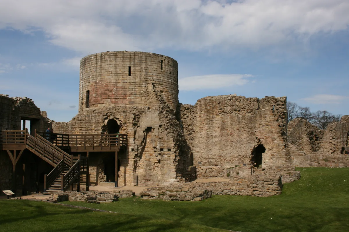 📷 3
📷 3Hill forts · North East England
Barnard Castle
Barnard Castle is a hill fort in the United Kingdom.
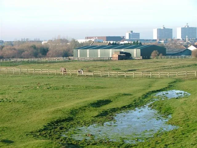 📷 3
📷 3Hill forts · North East England
Stainsby
Stainsby — abandoned village in North Yorkshire, England, UK.
 📷 3
📷 3Hill forts · North East England
Pittington Hill
Pittington Hill in England North East, United Kingdom.
 📷 4
📷 4Hill forts · North East England
Whiteadder Water
Whiteadder Water in England North East, United Kingdom.
Frequently asked questions
- Where is Street House Anglo-Saxon cemetery?
- Street House Anglo-Saxon cemetery is in North-East England, United Kingdom (postcode TS13 4UX), in the parish of Loftus.
- What is Street House Anglo-Saxon cemetery?
- Street House Anglo-Saxon cemetery — cemetery in North Yorkshire, England.
- How do I get to Street House Anglo-Saxon cemetery?
- The nearest railway station is Cat Nab, about 7.5 km away. Drivers can use postcode TS13 4UX.
- Is Street House Anglo-Saxon cemetery a protected site?
- Yes — Street House Anglo-Saxon cemetery is part of the Boulby Quarries SSSI Site of Special Scientific Interest.
- Is Street House Anglo-Saxon cemetery free to visit?
- Yes, Street House Anglo-Saxon cemetery is free to enter.
- How do I get to Street House Anglo-Saxon cemetery?
- The nearest railway station is Cat Nab, about 7.5 km away. Drivers can navigate to postcode TS13 4UX.