
Hill forts · East of England
Verulamium
In or near St Albans.
Verulamium — ancient town in Roman Britain in St. Albans.

Wikimedia Commons contributors — see linked file page for photographer and licence licence

Plan your visit
- Typical visit
- 1 h–2 h
- Nearest railway station
- St Albans Abbey · 1.3 km
- Free entry
- Family-friendly
- Dog-friendly
- Limited wheelchair access
Getting there & planning your visit
To visit Verulamium, the nearest railway station is St Albans Abbey, located 1.3 km away. Entry is free, but please note that wheelchair accessibility is limited. The postcode for sat-nav is AL3 4SW.
About
Verulamium is a hill fort in the United Kingdom. Heritage designation: scheduled monument. Owned by English Heritage. Managed by English Heritage. Wikidata describes it as: "ancient town in Roman Britain in St. Albans". Coordinates: 51.7527°, -0.3552°.
Photo gallery
Summary from the official site
The Roman Wall of St Albans is a historical structure built to defend the Roman city of Verulamium, with remnants visible along its two-mile circuit. Visitors can see parts of the wall that still stand at impressive heights, along with the foundations of towers and the remains of the London Gate.
Read more on the official property page.
Protected designations
- Area of Outstanding Natural Beauty: Chilterns
Designations sourced from Natural England open data under OGL v3.
From the Wikipedia article
Verulamium was a town in Roman Britain. It was sited southwest of the modern city of St Albans in Hertfordshire, England. The major ancient Roman route Watling Street passed through the city, but was realigned in medieval times to bring trade to St Albans. It was about a day's walk from London. A large portion of the Roman city remains unexcavated, being now park and agricultural land. Due to ploughing on the privately owned agricultural land which formed half of the city, a lot of damage has been done, as proven by parts of mosaic floors that have been found on the surface. Results of ground penetrating radar show outlines of buildings as smudges rather than clearly defined walls like those protected by the parkland. Part of the Roman city has been built upon, such as the small settlement around the Anglo-Saxon St Michael's Church. Much of the site and its environs is now a scheduled monument.
Excerpt from Wikipedia under CC BY-SA 4.0. See the source article linked in Sources below.
Background
History
Before the Romans established their settlement, there was already a tribal centre in the area which belonged to the Catuvellauni. This settlement is usually called Verlamion. The etymology is uncertain but the name has been reconstructed as *Uerulāmion, which would have a meaning like "[the tribe or settlement] of the broad hand" (Uerulāmos) in Brittonic. In this pre-Roman form, it was among the first places in Britain recorded by name. The settlement was established by Tasciovanus, who minted coins there. The Roman settlement was granted the rank of municipium around AD 50, meaning its citizens had what were known as "Latin Rights", a lesser citizenship status than a possessed. It grew to…
Sourced from Wikipedia under CC BY-SA 4.0.
- Coordinates
- 51.7527, -0.3552
- County
- Hertfordshire
- District
- St Albans
- Parish
- St Albans, unparished area
- Postcode
- AL3 4SW
- Parliamentary constituency
- St Albans
- Nearest railway station
- St Albans Abbey — 1.3 km
- Opening
- Open any reasonable time during daylight hours
- Official site
- www.english-heritage.org.uk
Sources
- wikidata: Q19861 (CC0)
- wikipedia: Verulamium (CC BY-SA 4.0)
- commons: Verulamium Roman Theatre 2.jpg (CC BY-SA 4.0)
Featured in this guide
Other places nearby

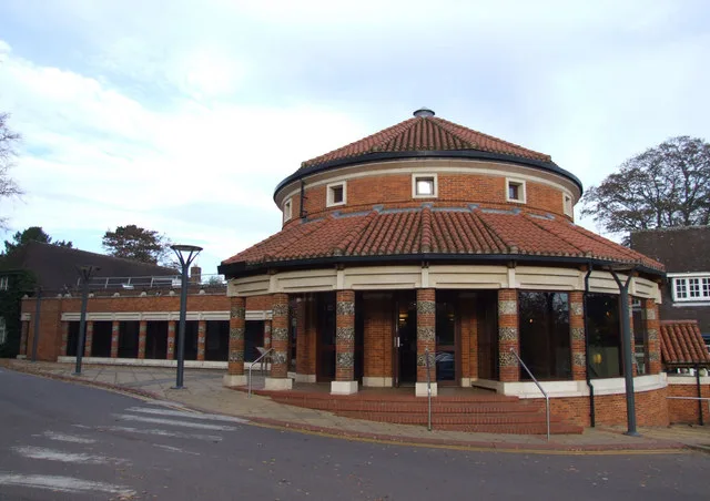
Basillica
Historic houses · 0.0 km
Verulamium Museum
Museums · 0.0 km
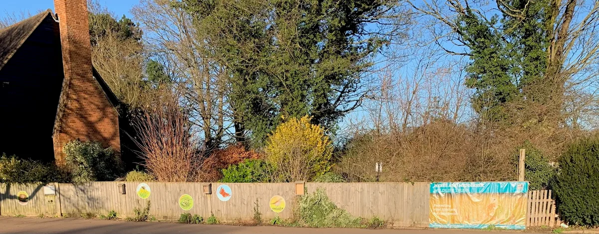
Grebe House Wildlife Garden
Wildlife reserves · 0.1 km
.jpg?width=1200)
Darrowfield House
Historic houses · 0.1 km
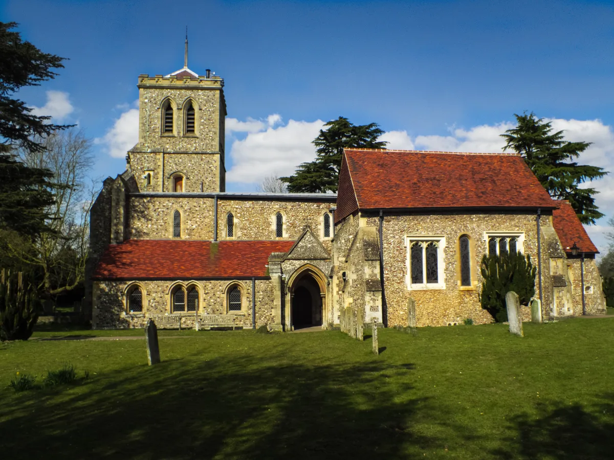
St Michael's Church, St Albans
Historic churches · 0.1 km

The Six Bells
Historic pubs · 0.1 km

Roman temple 2 at insula XII, St Albans
Follies · 0.2 km

Ancient Secret Shrine
Historic houses · 0.2 km
Ancient Shop Ruins
Historic houses · 0.2 km
Roman temple 1 at insula XII, St Albans
Follies · 0.2 km

Roman Verulamium
Archaeological sites · 0.2 km
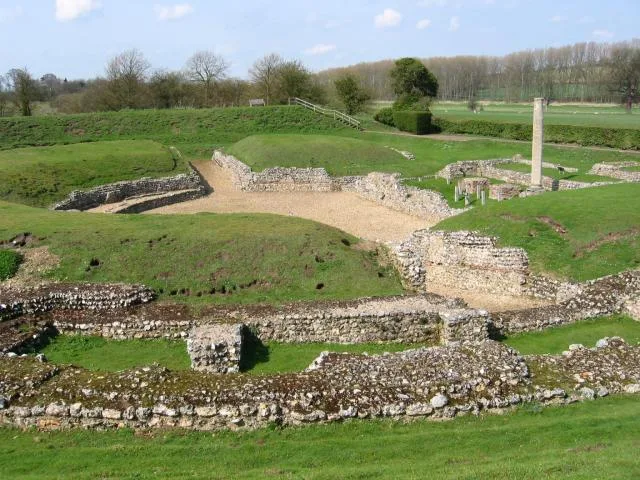
Roman Theatre of Verulamium
Hill forts · 0.3 km
Nearby
📷 5Historic houses · East of England
Basillica
Basillica — a historic house in england-london, United Kingdom.
📷 5Museums · East of England
Verulamium Museum
Verulamium Museum — Museum in St Albans, United Kingdom.
📷 5Wildlife reserves · East of England
Grebe House Wildlife Garden
Grebe House Wildlife Garden — 39 St Michael's St, St Albans, Hertfordshire, AL3 4SW.
📷 5Historic houses · East of England
Darrowfield House
Darrowfield House — house in St Albans, Hertfordshire, England, UK.
📷 5Historic churches · East of England
St Michael's Church, St Albans
St Michael's Church, St Albans — Grade I listed church in St Albans, Hertfordshire, England, UK.
📷 5Historic pubs · East of England
The Six Bells
The Six Bells in England East, United Kingdom.
Where to eat & stay near Verulamium
Places to stay
 📷 5
📷 5Hotels · East of England
The White Hart Hotel
The White Hart Hotel — a hotel in england london.
 📷 5
📷 5Hotels · East of England
Ardmore House Hotel
Ardmore House Hotel — a hotel in england london.
 📷 5
📷 5Caravan parks · East of England
Watling Street Caravan Park
Watling Street Caravan Park — a caravan park in england london.
 📷 5
📷 5 📷 5
📷 5 📷 5
📷 5Places to eat & drink
📷 5Historic pubs · East of England
The Six Bells
The Six Bells in England East, United Kingdom.
 📷 5
📷 5 📷 5
📷 5Historic pubs · East of England
St Michael's Manor Hotel
St Michael's Manor Hotel in England East, United Kingdom.
 📷 5
📷 5Historic pubs · East of England
The Lower Red Lion
The Lower Red Lion in England East, United Kingdom.
 📷 5
📷 5Historic pubs · East of England
Ye Olde Fighting Cocks
Ye Olde Fighting Cocks in England East, United Kingdom.
 📷 5
📷 5More places run by English Heritage
 Flagship📷 10
Museums · London
Kenwood House
Kenwood House — art museum and historic house in Hampstead, London.
 📷 5
📷 5Galleries · London
Apsley House
Apsley House — London townhouse of the Dukes of Wellington.
 📷 5
📷 5Castles · London
Eynsford Castle
Eynsford Castle — castle, now ruinous, in Eynsford, Kent, England, UK.
 📷 5
📷 5Museums · London
Jewel Tower
Jewel Tower — medieval tower in Westminster, London, England, UK.
More places in this region
 📷 5
📷 5Hill forts · East of England
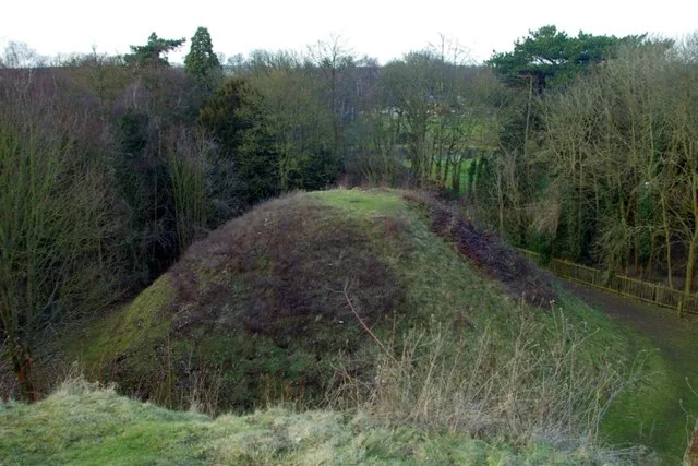
Bartlow Hills
Bartlow Hills — Roman tumuli cemetery in Bartlow (Cambridgeshire, UK).
 📷 5
📷 5Hill forts · East of England
Bedford Castle
Bedford Castle — castle in Bedfordshire, England, UK.
.jpg?width=1200) 📷 5
📷 5Hill forts · East of England
Beech Bottom Dyke
Beech Bottom Dyke — Iron Age ditch in St Albans, Hertfordshire, England, UK.
 📷 5
📷 5Hill forts · East of England
Braughing Roman Town
Braughing Roman Town — archaeological site in Braughing, East Hertfordshire, England, UK.
Frequently asked questions
- Where is Verulamium?
- Verulamium is in Hertfordshire, London, United Kingdom (postcode AL3 4SW), in the parish of St Albans, unparished area.
- What is Verulamium?
- Verulamium — ancient town in Roman Britain in St. Albans.
- How do I get to Verulamium?
- The nearest railway station is St Albans Abbey, about 1.3 km away. Drivers can use postcode AL3 4SW.
- Who runs Verulamium?
- Verulamium is operated by English Heritage.
- Is Verulamium a listed building?
- Verulamium is officially recognised as scheduled monument listed.
- Is Verulamium a protected site?
- Yes — Verulamium is part of the Chilterns National Landscape (AONB).
- Is Verulamium free to visit?
- Yes, Verulamium is free to enter.
- How do I get to Verulamium?
- The nearest railway station is St Albans Abbey, about 1.3 km away. Drivers can navigate to postcode AL3 4SW.