
Hill forts · East of England
Beech Bottom Dyke
In or near St Albans.
Beech Bottom Dyke — Iron Age ditch in St Albans, Hertfordshire, England, UK.
.jpg?width=1200)
Wikimedia Commons licence
Plan your visit
- Typical visit
- 1 h–2 h
- Nearest railway station
- St Albans City · 2.0 km
- Free entry
- Dog-friendly
Getting there & planning your visit
To visit Beech Bottom Dyke, the nearest railway station is St Albans City, located 2 km away. The postcode for navigation is AL3 6NA, and entry to the site is free.
About
Beech Bottom Dyke is a hill fort in the United Kingdom. Heritage designation: scheduled monument. Wikidata describes it as: "Iron Age ditch in St Albans, Hertfordshire, England, UK". Coordinates: 51.7688°, -0.3274°.
Photo gallery
Protected designations
- Area of Outstanding Natural Beauty: Chilterns
Designations sourced from Natural England open data under OGL v3.
From the Wikipedia article
Beech Bottom Dyke, is a large ditch running for almost a mile at the northern edge of St Albans, Hertfordshire, England flanked by banks on both sides. It is up to 30 m (98 ft) wide, and 10 m (33 ft) deep, and it can be followed for three quarters of a mile between the "Ancient Briton Crossroads" on the St Albans to Harpenden road until it is crossed by the Thameslink/Midland mainline railway at Sandridge. Beyond the railway embankment it continues, to finish just short of the St Albans to Sandridge road. This part is not accessible to the public.
Excerpt from Wikipedia under CC BY-SA 4.0. See the source article linked in Sources below.
Background
History
The dyke was constructed towards the end of the Iron Age, probably between 5 and 40 AD. This, and other similar earthworks in the district, may have been built by the powerful Celtic tribe established in this area, the Catuvellauni, probably by King Cunobelinus to define areas of land around their tribal centre at Verlamion - the predecessor of the Roman city of Verulamium. Beech Bottom Dyke is thought to have originally been part of a defensive system for a Belgic settlement. Other defences are the Devil's Dyke and another ancient earthwork known as "The Slad". These may have created a defensive earthwork running from the River Lea to the River Ver enclosing a very large area.
Sourced from Wikipedia under CC BY-SA 4.0.
- Coordinates
- 51.7688, -0.3274
- County
- Hertfordshire
- District
- St Albans
- Parish
- St Albans, unparished area
- Postcode
- AL3 6NA
- Parliamentary constituency
- St Albans
- Nearest railway station
- St Albans City — 2 km
Sources
- wikidata: Q4879564 (CC0)
- wikipedia: Beech Bottom Dyke (CC BY-SA 4.0)
Other places nearby

Harvester
Restaurants · 0.6 km

Ardmore House Hotel
Hotels · 1.3 km

The Wick Local Nature Reserve
Wildlife reserves · 1.4 km
Wick Local Nature Reserve
Forests & woodlands · 1.4 km

The Sanpit Theatre
Theatres · 1.4 km

Site of Moated Manor House
Manor houses · 1.5 km

The Hope Stone
Memorials & monuments · 1.6 km

Church of St. Peter, St. Albans
Historic churches · 1.6 km
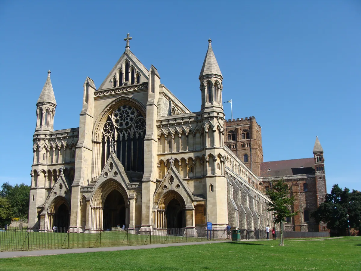
St Albans
Towns & cities · 1.6 km

St. Albans War Memorial
Memorials & monuments · 1.6 km

War Memorial
Memorials & monuments · 1.6 km

Burma Star Association Memorial
Memorials & monuments · 1.7 km
Nearby
📷 5Restaurants · East of England
Harvester
Harvester — a restaurant in england london. Cuisine: american. Brand: Harvester.
📷 5Hotels · East of England
Ardmore House Hotel
Ardmore House Hotel — a hotel in england london.
📷 5Wildlife reserves · East of England
The Wick Local Nature Reserve
The Wick Local Nature Reserve is a wildlife reserve in the United Kingdom.
📷 5Forests & woodlands · East of England
Wick Local Nature Reserve
Wick Local Nature Reserve is a forest or woodland in the United Kingdom.
📷 5Theatres · East of England
The Sanpit Theatre
The Sanpit Theatre is a theatre in the United Kingdom.
📷 5Manor houses · East of England
Site of Moated Manor House
Site of Moated Manor House — a manor in england-london, United Kingdom.
Where to eat & stay near Beech Bottom Dyke
Places to stay
📷 5Hotels · East of England
Ardmore House Hotel
Ardmore House Hotel — a hotel in england london.
 📷 5
📷 5Hotels · East of England
The White Hart Hotel
The White Hart Hotel — a hotel in england london.
 📷 5
📷 5 📷 5
📷 5 📷 5
📷 5Caravan parks · East of England
Barley Mow Caravan Site
Barley Mow Caravan Site — a caravan park in england london.
 📷 5
📷 5Caravan parks · East of England
Watling Street Caravan Park
Watling Street Caravan Park — a caravan park in england london.
Places to eat & drink
📷 5Restaurants · East of England
Harvester
Harvester — a restaurant in england london. Cuisine: american. Brand: Harvester.
 📷 5
📷 5Historic pubs · East of England
The Saint & Sinner
The Saint & Sinner — Historic pub — listed building or notable heritage status.
 📷 5
📷 5Historic pubs · East of England
Waterend Barn
Waterend Barn — Historic pub — listed building or notable heritage status.
 📷 5
📷 5Historic pubs · East of England
Wellington Public House
Wellington Public House in England East, United Kingdom.
 📷 5
📷 5 📷 5
📷 5More places in this region
 📷 5
📷 5Hill forts · East of England
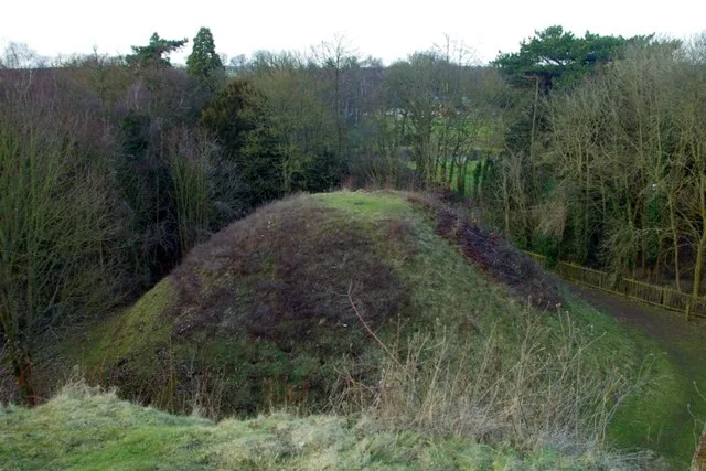
Bartlow Hills
Bartlow Hills — Roman tumuli cemetery in Bartlow (Cambridgeshire, UK).
 📷 5
📷 5Hill forts · East of England
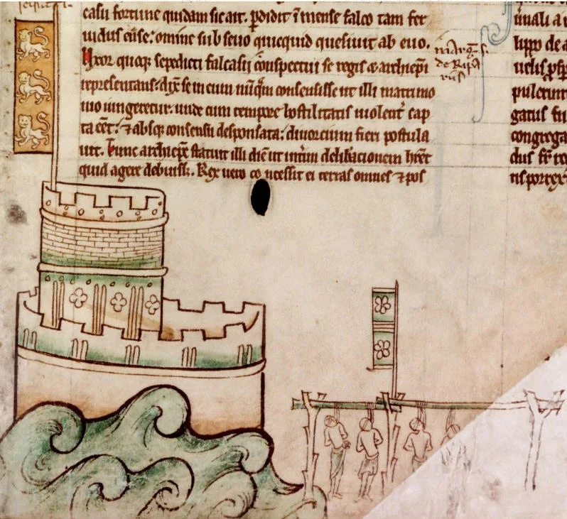
Bedford Castle
Bedford Castle — castle in Bedfordshire, England, UK.
 📷 5
📷 5Hill forts · East of England
Braughing Roman Town
Braughing Roman Town — archaeological site in Braughing, East Hertfordshire, England, UK.
 📷 5
📷 5Hill forts · East of England
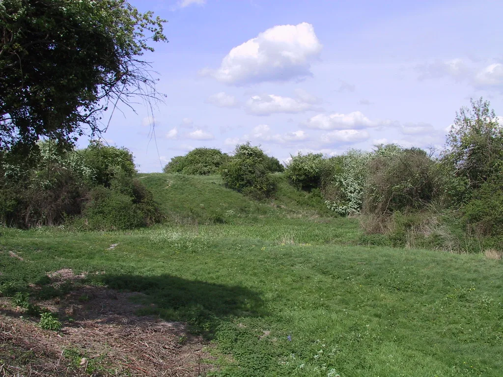
Burwell Castle
Burwell Castle — 12th-century castle in England.
Frequently asked questions
- Where is Beech Bottom Dyke?
- Beech Bottom Dyke is in Hertfordshire, London, United Kingdom (postcode AL3 6NA), in the parish of St Albans, unparished area.
- What is Beech Bottom Dyke?
- Beech Bottom Dyke — Iron Age ditch in St Albans, Hertfordshire, England, UK.
- How do I get to Beech Bottom Dyke?
- The nearest railway station is St Albans City, about 2.0 km away. Drivers can use postcode AL3 6NA.
- Is Beech Bottom Dyke a listed building?
- Beech Bottom Dyke is officially recognised as scheduled monument listed.
- Is Beech Bottom Dyke a protected site?
- Yes — Beech Bottom Dyke is part of the Chilterns National Landscape (AONB).
- Is Beech Bottom Dyke free to visit?
- Yes, Beech Bottom Dyke is free to enter.
- How do I get to Beech Bottom Dyke?
- The nearest railway station is St Albans City, about 2.0 km away. Drivers can navigate to postcode AL3 6NA.