
Archaeological sites · South Wales
Twmbarlwm Fort
In or near Newport.
Twmbarlwm Fort — a archaeological in wales-south, United Kingdom.

Rudi Winter — CC BY-SA 2.0 via Wikimedia Commons licence

Plan your visit
- Typical visit
- 45 min–1.5 h
- Nearest railway station
- Crosskeys · 2.2 km
- Free entry
- Dog-friendly
About
Twmbarlwm Fort is a archaeological located in wales-south, United Kingdom. Sourced from OpenStreetMap (ODbL licence); see local listings for visitor information, opening hours and admission details.
Photo gallery
Protected designations
- Site of Special Scientific Interest: River Wye SSSI
Designations sourced from Natural England open data under OGL v3.
Place summary
Twmbarlwm Fort is an archaeological site located in South Wales. This ancient hillfort dates back to the Iron Age and is characterised by its well-preserved earthworks. It offers insights into the defensive structures used during that period.
AI-generated from the structured facts on this page (operator, designation, listing, era). Not a substitute for visiting.
- Coordinates
- 51.6271, -3.0959
- District
- Caerphilly
- Parish
- Crosskeys
- Postcode
- NP11 6GZ
- Parliamentary constituency
- Newport West and Islwyn
- Nearest railway station
- Crosskeys — 2.2 km
Sources
- osm: way/927099450 (ODbL)
Other places nearby

Twmbarlwm
Vineyards · 0.0 km

Twm Barlwm
Literary houses · 0.2 km
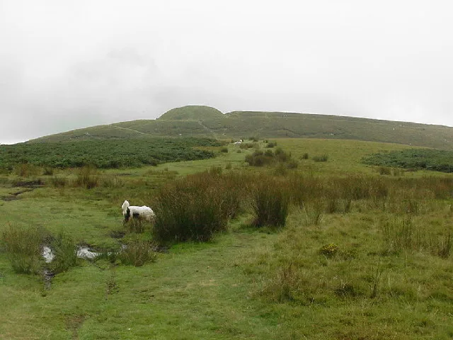
Twmbarlwm
Mountains & hills · 0.2 km

Medart
Mountains & hills · 1.0 km

Twrch Trail
Mountain bike trails · 1.1 km

Medart
Mountains & hills · 1.3 km

Canal Bridge over Monmouthshire and Brecon Canal at Darren Road
Historic bridges · 1.3 km

Canal Bridge over Monmouthshire and Brecon Canal E of Cwmbyr
Historic bridges · 1.4 km

Cwmcarn Forest Drive Campsite
Campsites · 1.4 km

Church of St Mary Risca
Historic churches · 1.5 km

Cwmcarn Forest Drive Visitor Centre
Natural landmarks · 1.6 km

Canal Bridge over Monmouthshire and Brecon Canal W of Penrhiw
Historic bridges · 1.6 km
Nearby
📷 5Vineyards · South Wales
Twmbarlwm
Twmbarlwm — a UK vineyard in wales south, producing English or Welsh wine from cool-climate grape varieties.
📷 5📷 4📷 5📷 5📷 5Where to eat & stay near Twmbarlwm Fort
Places to stay
📷 5Campsites · South Wales
Cwmcarn Forest Drive Campsite
Cwmcarn Forest Drive Campsite — a campsite in wales south.
 📷 7
📷 7 📷 5
📷 5 📷 5
📷 5 📷 5
📷 5Campsites · South Wales
CRAI Scout Activity Centre
CRAI Scout Activity Centre — a campsite in wales south.
📷 5Places to eat & drink
 📷 7
📷 7 📷 7
📷 7Cafés · South Wales
Fourteen Locks Canal Centre
Fourteen Locks Canal Centre — a café in wales south.
 📷 7
📷 7 📷 5
📷 5 📷 5
📷 5Historic pubs · South Wales
Penllwyn, Former Manor House Now Penllwyn Arms Public House
Penllwyn, Former Manor House Now Penllwyn Arms Public House in Wales South, United Kingdom.
 📷 5
📷 5Historic pubs · South Wales
Ye Olde Murenger House
Ye Olde Murenger House in Wales South, United Kingdom.
More archaeological sites in this region
 📷 3
📷 3Archaeological sites · South Wales
Coygan Cave
Coygan Cave — cave and archaeological site in the United Kingdom.
 📷 3
📷 3 📷 3
📷 3Archaeological sites · South Wales
Glasfynydd Forest
Glasfynydd Forest — forest on the boundary of Carmarthenshire and Powys, Wales, UK.
 📷 3
📷 3Archaeological sites · South Wales
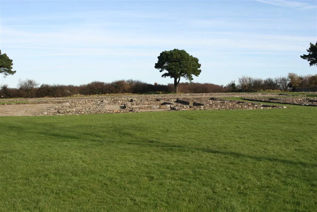
Gwersyll Rhufeinig Bargoed
Gwersyll Rhufeinig Bargoed — archaeological site in Caerphilly County Borough, Wales, UK.
Frequently asked questions
- Where is Twmbarlwm Fort?
- Twmbarlwm Fort is in South Wales, United Kingdom (postcode NP11 6GZ), in the parish of Crosskeys.
- What is Twmbarlwm Fort?
- Twmbarlwm Fort — a archaeological in wales-south, United Kingdom.
- How do I get to Twmbarlwm Fort?
- The nearest railway station is Crosskeys, about 2.2 km away. Drivers can use postcode NP11 6GZ.
- Is Twmbarlwm Fort a protected site?
- Yes — Twmbarlwm Fort is part of the River Wye SSSI Site of Special Scientific Interest.
- Is Twmbarlwm Fort free to visit?
- Yes, Twmbarlwm Fort is free to enter.
- How do I get to Twmbarlwm Fort?
- The nearest railway station is Crosskeys, about 2.2 km away. Drivers can navigate to postcode NP11 6GZ.