Mountains & hills · South East England
Tolsford Hill
Tolsford Hill — Named summit at 181 m.

Wikimedia Commons contributors — see linked file page for photographer and licence licence
Plan your visit
- Typical visit
- 3 h–8 h
- Best time of year
- Late spring – early autumn (May–Oct)
- Nearest railway station
- Sandling · 1.6 km
- Free entry
- Dog-friendly
About
Tolsford Hill is a named summit in Kent, South-East England. The site is within the Kent Downs National Landscape (AONB). It sits within the Ashford parliamentary constituency. The nearest railway station is Sandling, about 1.6 km away. Postcode area CT21.
Photo gallery
Protected designations
- Area of Outstanding Natural Beauty: Kent Downs
Designations sourced from Natural England open data under OGL v3.
Place summary
Tolsford Hill is a mountain located in South-East England, within the county of Kent and the parish of Postling. It is designated as an Area of Outstanding Natural Beauty (AONB) within the Kent Downs, recognised for its scenic landscapes and ecological value.
AI-generated from the structured facts on this page (operator, designation, listing, era). Not a substitute for visiting.
- Coordinates
- 51.1028, 1.0781
- County
- Kent
- District
- Folkestone and Hythe
- Parish
- Postling
- Postcode
- CT21 4ES
- Parliamentary constituency
- Ashford
- Nearest railway station
- Sandling — 1.6 km
Sources
- osm: n266387709 (ODbL)
- commons: Tolsford Hill 1.jpg (CC BY-SA 4.0)
Other places nearby
Loading nearby places…
Nearby
 📷 5
📷 5Memorials & monuments · South East England
Canadian Expeditionary Force Memorial
Canadian Expeditionary Force Memorial is a memorial in the United Kingdom.
 📷 5
📷 5Historic houses · South East England
Beachborough Park
Beachborough Park — building in Newington, Shepway, Kent, England, UK.
.jpg?width=1200) 📷 5
📷 5Historic churches · South East England
Church of St Mary and St Radegund
Church of St Mary and St Radegund — church in Postling, Kent, England, UK.
 📷 5
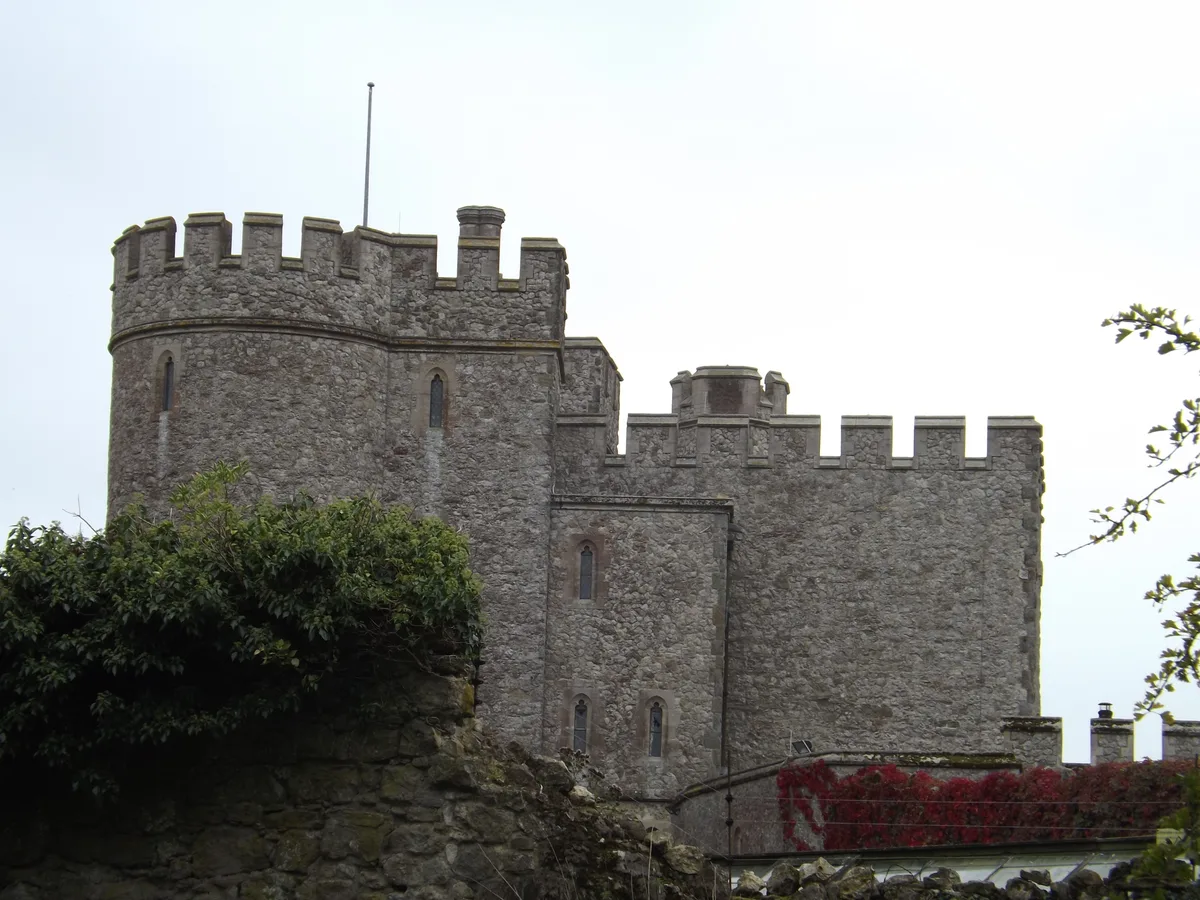
📷 5Castles · South East England
Saltwood Castle
Saltwood Castle — castle in Saltwood, Kent, England, UK.
 📷 5
📷 5Parks · South East England
Brockhill Country Park
Brockhill Country Park — park in the United Kingdom.
 📷 5
📷 5Manor houses · South East England
Brockhill Manor House
Brockhill Manor House — a manor in england-south-east, United Kingdom.
More mountains in this region
 📷 5
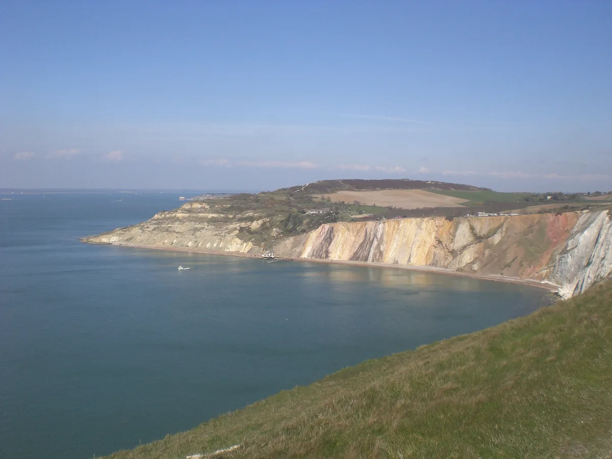
📷 5Mountains & hills · South East England
Alum Bay
Alum Bay is a mountain or hill in the United Kingdom.
 📷 5
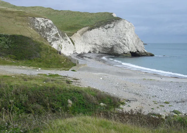
📷 5Mountains & hills · South East England
Arish Mell
Arish Mell — bay in Dorset, England.
 📷 5
📷 5Mountains & hills · South East England
Balaclava Bay
Balaclava Bay — bay in Dorset, England.
 📷 5
📷 5Mountains & hills · South East England
Balch Cave
Balch Cave — Cave in Somerset, England.
Frequently asked questions
- Where is Tolsford Hill?
- Tolsford Hill is in Kent, South-East England, United Kingdom (postcode CT21 4ES), in the parish of Postling.
- Is Tolsford Hill a protected site?
- Yes — Tolsford Hill is part of the Kent Downs National Landscape (AONB).
- Is Tolsford Hill free to visit?
- Yes, Tolsford Hill is free to enter.
- How do I get to Tolsford Hill?
- The nearest railway station is Sandling, about 1.6 km away. Drivers can navigate to postcode CT21 4ES.