
Historic churches · South East England
Church of St Mary and St Radegund
In or near Lyminge.
Church of St Mary and St Radegund — church in Postling, Kent, England, UK.
.jpg?width=1200)
Wikimedia Commons contributors — see linked file page for photographer and licence licence
.jpg)
Plan your visit
- Typical visit
- 30 min–1 h
- Nearest railway station
- Sandling · 2.3 km
- Free entry
Getting there & planning your visit
The Church of St Mary and St Radegund is located in Folkestone and Hythe, Kent, with the postcode CT21 4EX. The nearest railway station is Sandling, which is 2.3 km away. Entry to the church is free.
About
Church of St Mary and St Radegund is a parish church in South-East England. Built or established in 1050, it dates from the Anglo-Saxon period. Officially recognised as Grade I listed building. The site is within the Kent Downs National Landscape (AONB). The nearest railway station is Sandling, about 2.3 km away.
Photo gallery
Heritage listing
Details TR 13 NW POSTLING THE STREET (west side) 3/57 Church of St. 29.12.66 Mary and St. Radegund GV I Parish church. Late C11 or C12, C13 and C19. Restored 1896-7. Roughly coursed stone and flint rubble with stone dressings. Plain tile roofs. Shingled spire. West tower, nave, south porch, chancel. West tower: C13. No stages, no plinth. Integral pilaster buttresses to west. Stone eaves band. Splay-footed spire. Two C19 lancets to north and two to south of belfry. Small rectangular louvred opening towards top of west face. Small louvred lancet lower down to west and another to south. Moulded pointed- arched west doorway. Nave: south elevation: late C11 or C12. Roughly coursed flint with trends of herringbone stone-work. No plinth. One C19 lancet. One C15 two-light window with cusped ogee-headed lights, squared head and hoodmould. South porch: 1825. Roughcast, with gabled plain-tile roof. Round-headed outer doorway with datestone G.S. Inner doorway C.W. 1825 pointed-arched and chamfered with broach stops. Chancel: late C11 or C12, extended later (probably in C13). No plinth. North-east and south-east angle buttresses. Two C19 trefoil-headed south lancets. C19 three-light pointed-arched east window with hoodmould. 2 restored north lancets of uneven size. Nave: north elevation: one buttress. Broad hollow-chamfered lancet towards east. Small round-headed central window. C19 lancet towards west. Interior: structure: chancel arch with late C11 or C12 nicked and chamfered imposts and imprinted enrichment; arch pointed and chamfered, rebuilt in C13. No tower arch. Moulded rere-arches to north nave lancets. Roof: crown-post roof to nave with four moulded octagonal crown-posts on moulded tie-beams. Sous-laces, ashlar-pieces and moulded cornice. Similar roof to chancel, but with r
From the Historic England List Entry under OGL v3.
Protected designations
- Area of Outstanding Natural Beauty: Kent Downs
Designations sourced from Natural England open data under OGL v3.
Place summary
The Church of St Mary and St Radegund is an Anglo-Saxon church located in South-East England, established in 1050. It is a Grade I listed building and lies within the Kent Downs Area of Outstanding Natural Beauty.
AI-generated from the structured facts on this page (operator, designation, listing, era). Not a substitute for visiting.
- Coordinates
- 51.1110, 1.0637
- County
- Kent
- District
- Folkestone and Hythe
- Parish
- Postling
- Postcode
- CT21 4EX
- Parliamentary constituency
- Ashford
- Established
- 1050
- Nearest railway station
- Sandling — 2.3 km
Sources
- wikidata: Q17530017 (CC0)
- commons: St Mary & St Radegund, Postling, Kent (geograph 2069595).jpg (CC BY-SA 4.0)
Other places nearby

Postling
Villages · 0.1 km
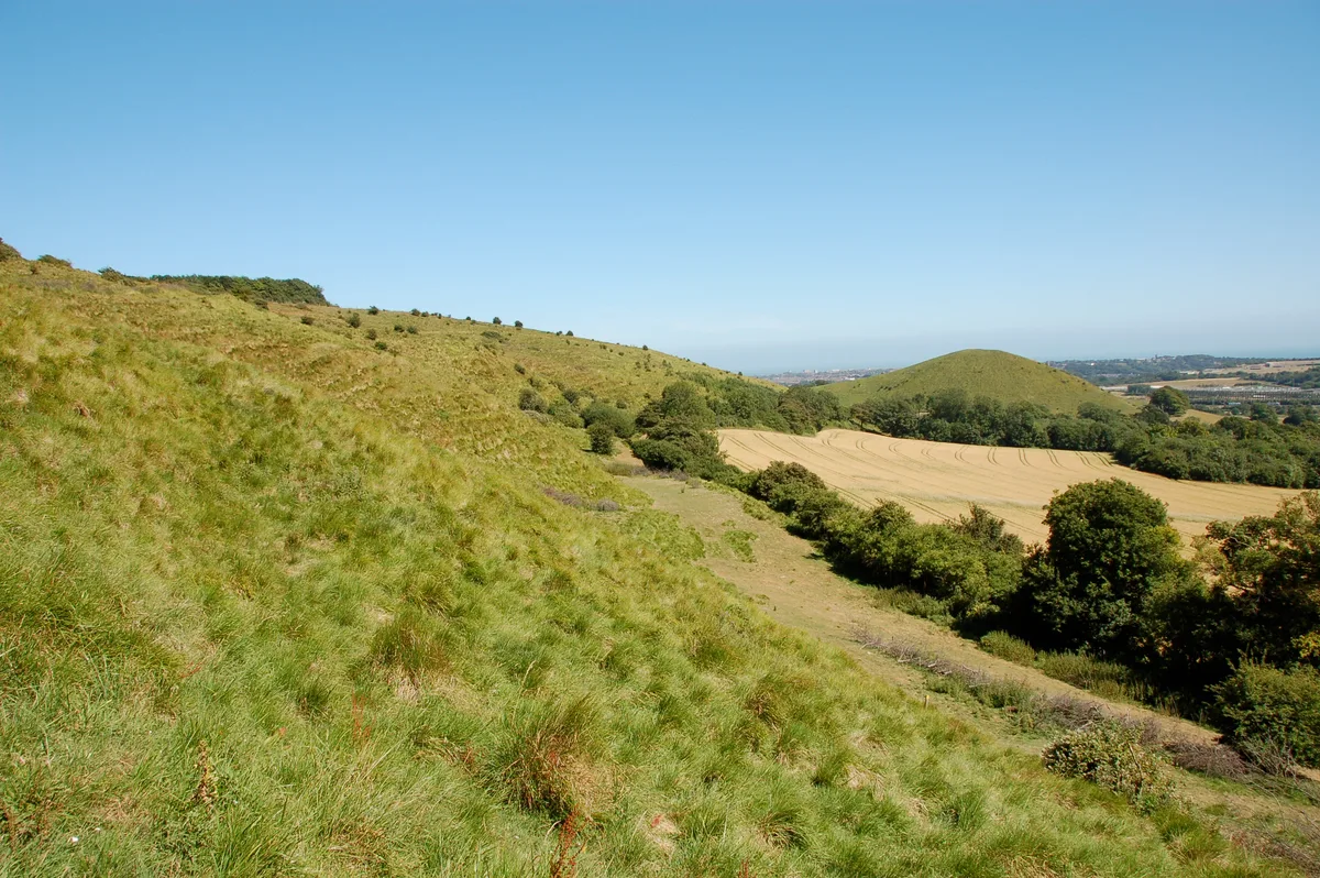
Tolsford Hill
Mountains & hills · 1.4 km

Tolsford Hill
Mountains & hills · 1.5 km

Farthing Common
Viewpoints · 1.6 km

The Drum Inn
Campsites · 1.8 km

Stanford, Kent
Other places · 1.9 km
Stanford
Villages · 1.9 km

Stanford Windmill
Windmills · 2.1 km

Hayton Manor
Manor houses · 2.2 km

Lyminge War Memorial
Memorials & monuments · 2.3 km

Canadian Expeditionary Force Memorial
Memorials & monuments · 2.3 km

Church of St Mary and St Ethelburga, and Remains of the Older Church to South
Historic churches · 2.4 km
Nearby
📷 5📷 5📷 5Mountains & hills · South East England
Tolsford Hill
Tolsford Hill — a hill or mountain in england south east.
📷 5Viewpoints · South East England
Farthing Common
Farthing Common is a viewpoint in the United Kingdom.
📷 5📷 5Other places · South East England
Stanford, Kent
Stanford, Kent — a other in england-south-east, United Kingdom.
Where to eat & stay near Church of St Mary and St Radegund
Places to stay
📷 5 📷 5
📷 5 📷 5
📷 5Campsites · South East England
Hawthorne Trench Campsite
Hawthorne Trench Campsite — a campsite in england south east.
 📷 5
📷 5Caravan parks · South East England
Prince of Wales Residential Park
Prince of Wales Residential Park — a caravan park in england south east.
 📷 5
📷 5Caravan parks · South East England
Bluewater Caravan Site
Bluewater Caravan Site — a caravan park in england south east.
 📷 5
📷 5Places to eat & drink
 📷 5
📷 5Historic pubs · South East England
Dukes Head Inn
Dukes Head Inn in England South East, United Kingdom.
 📷 5
📷 5Historic pubs · South East England
The White Hart Inn
The White Hart Inn in England South East, United Kingdom.
 📷 5
📷 5Historic pubs · South East England
The Five Bells
The Five Bells in England South East, United Kingdom.
 📷 5
📷 5 📷 5
📷 5Historic pubs · South East England
Walnut Tree Inn
Walnut Tree Inn in England South East, United Kingdom.
 📷 5
📷 5Historic pubs · South East England
The Samuel Peto
The Samuel Peto in England South East, United Kingdom.
Other places from this era
 📷 5
📷 5Historic churches · London
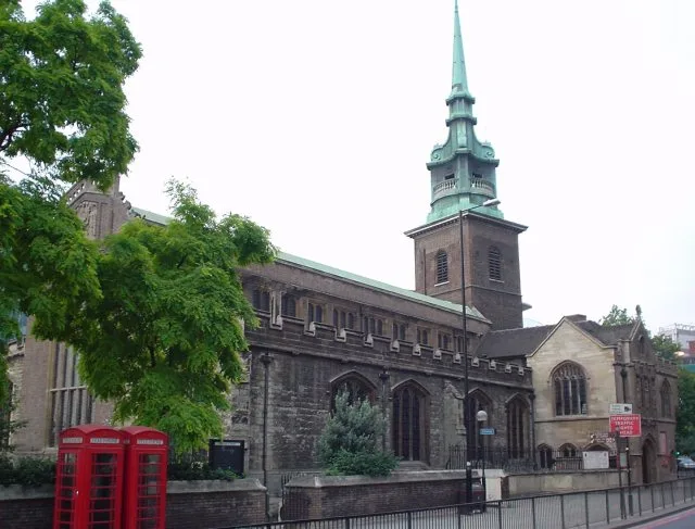
All Hallows-by-the-Tower
All Hallows-by-the-Tower — church in the City of London, United Kingdom.
 📷 5
📷 5Historic churches · London
Church of St Bartholomew
Church of St Bartholomew — church in Otford, Kent, England, UK.
 📷 5
📷 5Historic churches · London
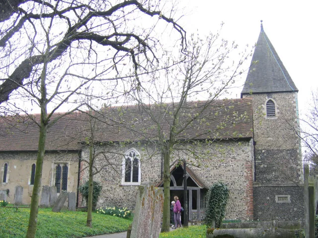
Church of St Margaret of Antioch, Darenth
Church of St Margaret of Antioch, Darenth — Grade I listed church in Darenth, Dartford, Kent, England, UK.
 📷 5
📷 5Historic churches · London
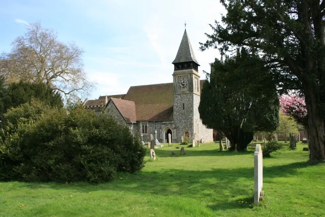
Church of St Mary, Stoke d'Abernon
Church of St Mary, Stoke d'Abernon — church in Stoke d'Abernon, Surrey, England, UK.
More places in this region
 📷 5
📷 5Historic churches · South East England
All Saints Church, Frindsbury
All Saints Church, Frindsbury — church in Medway, UK.
 📷 5
📷 5Historic churches · South East England
All Saints Church, Maidstone
All Saints Church, Maidstone — parish church associated with the Archbishop's Palace, Maidstone, Kent, England, UK.
 📷 5
📷 5Historic churches · South East England
All Saints Church, West Farleigh
All Saints Church, West Farleigh — Grade I listed church in West Farleigh, Maidstone, Kent, England, UK.
 📷 5
📷 5Historic churches · South East England
All Souls' Church, Sutton Green
All Souls' Church, Sutton Green — church in Guildford, England.
Frequently asked questions
- Where is Church of St Mary and St Radegund?
- Church of St Mary and St Radegund is in Kent, South-East England, United Kingdom (postcode CT21 4EX), in the parish of Postling.
- What is Church of St Mary and St Radegund?
- Church of St Mary and St Radegund — church in Postling, Kent, England, UK.
- How do I get to Church of St Mary and St Radegund?
- The nearest railway station is Sandling, about 2.3 km away. The nearest town is Lyminge. Drivers can use postcode CT21 4EX.
- When was Church of St Mary and St Radegund built?
- Built or established in 1050.
- Is Church of St Mary and St Radegund a listed building?
- Church of St Mary and St Radegund is officially recognised as Grade I listed building listed.
- Is Church of St Mary and St Radegund a protected site?
- Yes — Church of St Mary and St Radegund is part of the Kent Downs National Landscape (AONB).
- Is Church of St Mary and St Radegund free to visit?
- Yes, Church of St Mary and St Radegund is free to enter.
- How do I get to Church of St Mary and St Radegund?
- The nearest railway station is Sandling, about 2.3 km away. Drivers can navigate to postcode CT21 4EX.