
Gardens · East Midlands
The Tower House, Lubenham
In or near Great Bowden.
The Tower House, Lubenham — a garden in england-west-midlands, United Kingdom.

Bob Harvey — CC BY-SA 2.0 via Wikimedia Commons licence

Plan your visit
- Typical visit
- 1 h–2.5 h
- Best time of year
- Spring & summer (Apr–Sep)
- Nearest railway station
- Market Harborough · 3.7 km
- Dog-friendly
Getting there & planning your visit
The Tower House in Lubenham is located at postcode LE16 9TA and is approximately 3.7 km from Market Harborough railway station. Entry details are not provided, so please check locally for any fees. Accessibility information is not mentioned.
About
The Tower House, Lubenham is a garden of interest in england-west-midlands, United Kingdom — drawn from open-data sources for visitor reference. See the linked Wikipedia article for the full description.
Photo gallery
From the Wikipedia article
The Tower House, formerly known as The Cottage or Lubenham Cottage is a Grade II listed Georgian house in Lubenham, Leicestershire, England. It is situated to the north of the churchyard on Rushes Lane. Originally a farmhouse, it was enlarged by Cubitts in 1865 as a hunting box for Benedict John "Cherry" Angell, with adjoining stables added in 1852. During the enlargement a tower was added to survey nearby horse racing. It became a Grade II listed building on 9 March 1989.
Excerpt from Wikipedia under CC BY-SA 4.0. See the source article linked in Sources below.
- Coordinates
- 52.4776, -0.9629
- County
- Leicestershire
- District
- Harborough
- Parish
- Lubenham
- Postcode
- LE16 9TA
- Parliamentary constituency
- Harborough, Oadby and Wigston
- Nearest railway station
- Market Harborough — 3.7 km
- Official site
- thegreatbritainguide.com
Sources
- wikidata: Q15979573 (CC0)
- wikipedia: The Tower House, Lubenham (CC BY-SA 4.0)
Other places nearby

Lubenham
Villages · 0.3 km

Lubenham War Memorial
Memorials & monuments · 0.3 km

Thorpe Lubenham Hall
Manor houses · 0.5 km
Mill Hill
Mountains & hills · 0.6 km

Bridge Over River Welland 300 Metres North West Of Thorpe Lubenham Hall (Not Included) (That Part In Parish Of Marston Trussell)
Historic bridges · 0.8 km

Papillon Hall
Manor houses · 1.7 km

East Farndon
Villages · 2.2 km

Bridge Number 59, Grand Union Canal
Historic bridges · 2.2 km
Medieval settlement remains at East Farndon
Vineyards · 2.3 km

Bridge Number 58, Grand Union Canal
Historic bridges · 2.4 km

East Farndon Moot Hill
Castles · 2.4 km

War Memorial Portico at the Cottage Hospital
Memorials & monuments · 2.4 km
Nearby
📷 5📷 3Memorials & monuments · East Midlands
Lubenham War Memorial
Lubenham War Memorial — Grade II listed building-listed memorial in england-west-midlands, United Kingdom.
📷 3Manor houses · East Midlands
Thorpe Lubenham Hall
Thorpe Lubenham Hall — a manor in england-west-midlands, United Kingdom.
📷 5Mountains & hills · East Midlands
Mill Hill
Mill Hill — mountain in england west midlands. Elevation: 121 m.
📷 3Historic bridges · East Midlands
Bridge Over River Welland 300 Metres North West Of Thorpe Lubenham Hall (Not Included) (That Part In Parish Of Marston Trussell)
Bridge Over River Welland 300 Metres North West Of Thorpe Lubenham Hall (Not Included) (That Part In Parish Of Marston Trussell) — Grade II listed building-listed bridge in england-west-midlands, Uni
📷 2Manor houses · East Midlands
Papillon Hall
Papillon Hall — a manor in england-west-midlands, United Kingdom.
Where to eat & stay near The Tower House, Lubenham
Places to stay
 📷 5
📷 5 📷 5
📷 5Campsites · East Midlands
Country Bumpkin Yurts
Country Bumpkin Yurts — a campsite in england west midlands.
 📷 5
📷 5Campsites · East Midlands
Brook Meadow
Brook Meadow — a campsite in england west midlands.
 📷 5
📷 5 📷 5
📷 5Campsites · East Midlands
Rural Relaxing
Rural Relaxing — a campsite in england west midlands.
 📷 5
📷 5Places to eat & drink
 📷 5
📷 5Historic pubs · East Midlands
The Three Swans Hotel
The Three Swans Hotel in England East Midlands, United Kingdom.
 📷 5
📷 5Historic pubs · East Midlands
The Shoulder Of Mutton Public House
The Shoulder Of Mutton Public House in England East Midlands, United Kingdom.
 📷 6
📷 6Historic pubs · East Midlands
Coach And Horses Inn Public House
Coach And Horses Inn Public House in England East Midlands, United Kingdom.
 📷 5
📷 5Historic pubs · East Midlands
Fox Inn Public House
Fox Inn Public House in England East Midlands, United Kingdom.
 📷 5
📷 5Historic pubs · East Midlands
The Nevill Arms Public House
The Nevill Arms Public House in England East Midlands, United Kingdom.
 📷 5
📷 5Historic pubs · East Midlands
Horse and Trumpet Inn
Horse and Trumpet Inn in England East Midlands, United Kingdom.
More gardens in this region
 📷 5
📷 5 📷 5
📷 5Gardens · East Midlands
Elgood's Brewery Visitor Centre and Gardens
Elgood's Brewery Visitor Centre and Gardens — a garden in england-london, United Kingdom.
 📷 5
📷 5Gardens · East Midlands
Buxton Pavilion Gardens
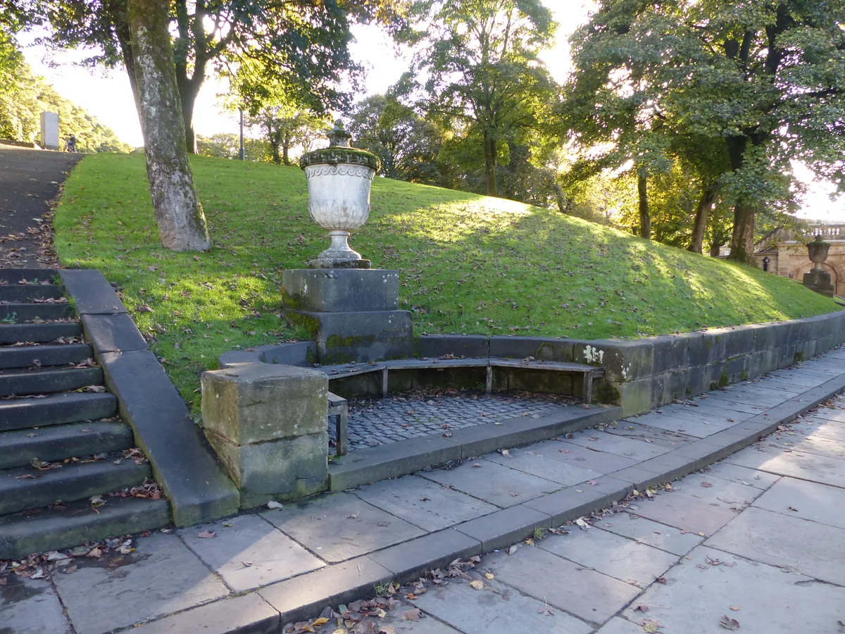
Buxton Pavilion Gardens is a Victorian landscaped public park in the spa town of Buxton in Derbyshire. The River Wye flows through the gardens, which are a Grade II* listed public park of Special Hist
 📷 3
📷 3Frequently asked questions
- Where is The Tower House, Lubenham?
- The Tower House, Lubenham is in Leicestershire, the West Midlands, United Kingdom (postcode LE16 9TA), in the parish of Lubenham.
- What is The Tower House, Lubenham?
- The Tower House, Lubenham — a garden in england-west-midlands, United Kingdom.
- How do I get to The Tower House, Lubenham?
- The nearest railway station is Market Harborough, about 3.7 km away. Drivers can use postcode LE16 9TA.
- How do I get to The Tower House, Lubenham?
- The nearest railway station is Market Harborough, about 3.7 km away. Drivers can navigate to postcode LE16 9TA.