
Wildlife reserves · East of England
The Riddy
In or near Beeston.
The Riddy — nature reserve in the United Kingdom.

Wikimedia Commons contributors — see linked file page for photographer and licence licence

Plan your visit
- Typical visit
- 2 h–4 h
- Best time of year
- Autumn & winter (migration & wildfowl)
- Nearest railway station
- Sandy · 1.2 km
- Free entry
- Family-friendly
- Dog-friendly
- Limited wheelchair access
Getting there & planning your visit
The Riddy is located in Central Bedfordshire, postcode SG19 1GE, and the nearest railway station is Sandy, which is 1.2 km away. Entry is free, but wheelchair access is limited.
About
The Riddy is a wildlife reserve in the United Kingdom. Managed by Wildlife Trust for Bedfordshire, Cambridgeshire and Northamptonshire. Wikidata describes it as: "nature reserve in the United Kingdom". Coordinates: 52.1240°, -0.2980°.
Photo gallery
From the Wikipedia article
The Riddy is an 8.4 hectare flood meadow and Local Nature Reserve located in Sandy, Bedfordshire, United Kingdom, bordering the River Ivel. Owned by Sandy Town Council but managed by both the Wildlife Trust for Bedfordshire, Cambridgeshire and Northamptonshire and Bedfordshire Rural Communities Charity, the 7.7 hectares (19 acres) site gains its name from a small stream which flows through the eastern end of the reserve. The different habitats in the Riddy support a diverse range of species, including a multiplicity of grasses and flowering plants in the meadows, aquatic plants and water voles which inhabit the ditches, ponds and stream, and birds which feed and hunt across the reserve. The Riddy is currently open to the general public; although some of the paths are reasonably rough, the site is most accessible via the riverside path: a disabled access gate is provided as well. The River Ivel may be fished from the reserve border, but a permit from the town council and national rod licence are required.
Excerpt from Wikipedia under CC BY-SA 4.0. See the source article linked in Sources below.
Background
History
The River Ivel used to be bordered by a number of flood meadows, many of which have now been lost: The Riddy is a remnant of this previous network. In the north-eastern corner of the reserve, a mill pool can be found; whilst the last mill was built here in 1857, evidence shows that mills have been built on the Riddy since at least Norman times.
Sourced from Wikipedia under CC BY-SA 4.0.
- Coordinates
- 52.1240, -0.2980
- District
- Central Bedfordshire
- Parish
- Sandy
- Postcode
- SG19 1GE
- Parliamentary constituency
- North Bedfordshire
- Nearest railway station
- Sandy — 1.2 km
Sources
- wikidata: Q7760694 (CC0)
- wikipedia: The Riddy (CC BY-SA 4.0)
- commons: The Riddy and River ivel.JPG (CC BY-SA 4.0)
Other places nearby

Frederick Thomas Bidlake
Memorials & monuments · 0.3 km

Girtford Bridge
Historic bridges · 0.4 km

Beeston
Towns & cities · 0.6 km

Sandy War Memorial
Memorials & monuments · 0.6 km

Sandye Place
Castles · 0.7 km

Kings Arms Public House
Historic pubs · 0.7 km

Sandy, Bedfordshire
Museums · 0.8 km

Hill summit
Viewpoints · 1.3 km

Caesar's Camp
Vineyards · 1.3 km

The Roundabout Club
Theatres · 1.8 km

Thorncote Green
Towns & cities · 1.9 km

Budna
Towns & cities · 2.0 km
Nearby
📷 5Memorials & monuments · East of England
Frederick Thomas Bidlake
Frederick Thomas Bidlake is a memorial in the United Kingdom.
📷 5Historic bridges · East of England
Girtford Bridge
Girtford Bridge — Grade II listed building-listed bridge in england-london, United Kingdom.
📷 5📷 5Memorials & monuments · East of England
Sandy War Memorial
Sandy War Memorial — Grade II listed building-listed memorial in england-london, United Kingdom.
📷 5📷 5Historic pubs · East of England
Kings Arms Public House
Kings Arms Public House in England East, United Kingdom.
Where to eat & stay near The Riddy
Places to stay
 📷 5
📷 5Caravan parks · East of England
Caravan Club Site (members)
Caravan Club Site (members) — a caravan park in england london.
 📷 5
📷 5Campsites · East of England
Jordans Close Scout Activity Centre
Jordans Close Scout Activity Centre — a campsite in england london.
 📷 7
📷 7B&Bs · East of England
Old Warden Guest House
Old Warden Guest House — a bed-and-breakfast in england london.
 📷 5
📷 5 📷 5
📷 5 📷 5
📷 5Campsites · East of England
Boyd Memorial Campsite and Activity Centre
Boyd Memorial Campsite and Activity Centre — a campsite in england london.
Places to eat & drink
📷 5Historic pubs · East of England
Kings Arms Public House
Kings Arms Public House in England East, United Kingdom.
 📷 5
📷 5Historic pubs · East of England
The Anchor Public House
The Anchor Public House in England East, United Kingdom.
 📷 5
📷 5 📷 5
📷 5 📷 5
📷 5 📷 5
📷 5Historic pubs · East of England
Duncombe Arms Public House
Duncombe Arms Public House in England East, United Kingdom.
More places run by Wildlife Trust for Bedfordshire, Cambridgeshire and Northamptonshire
 📷 5
📷 5Wildlife reserves · South East England
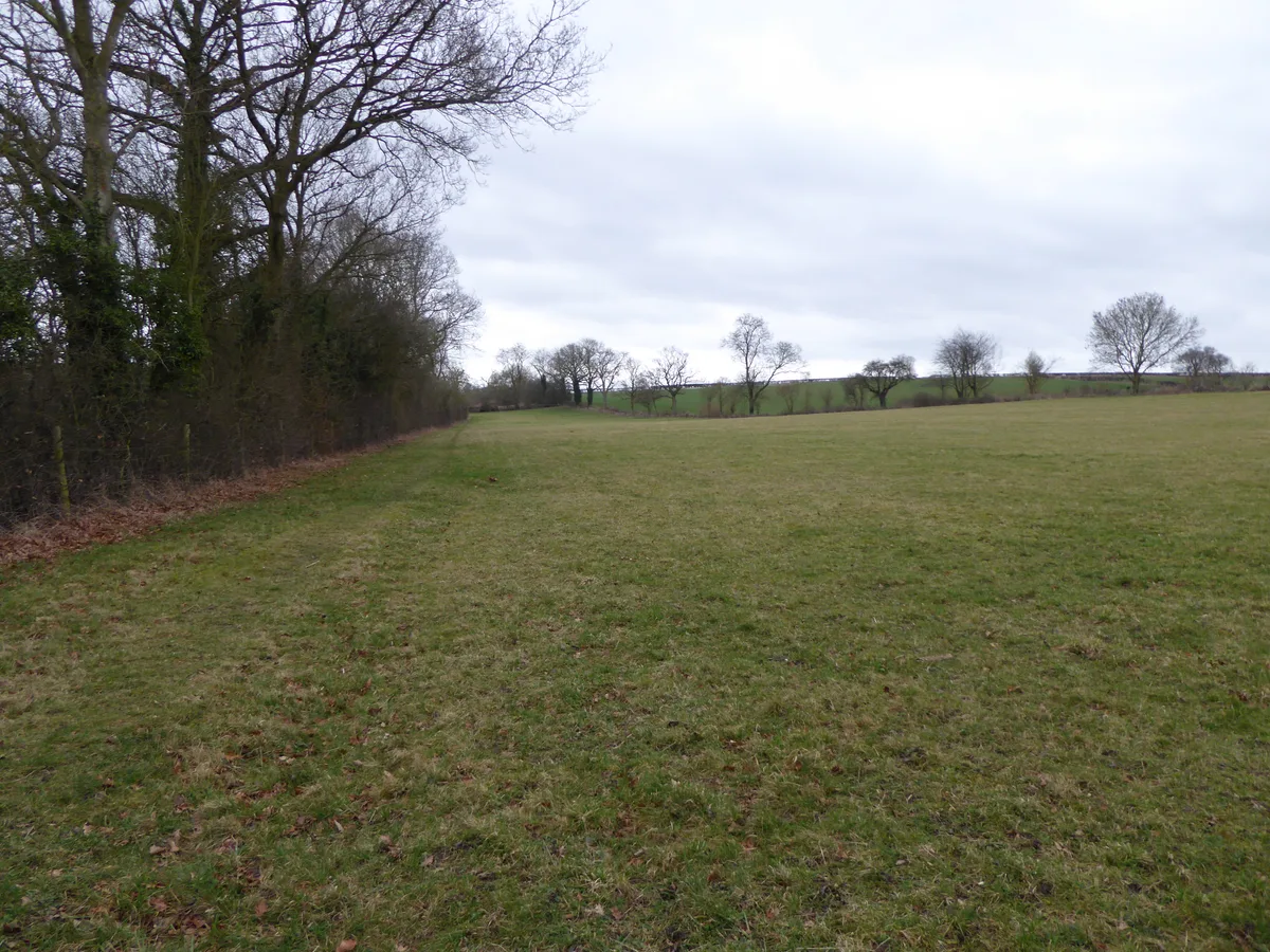
Boddington Meadow
Boddington Meadow — nature reserve in the United Kingdom.
 📷 3
📷 3Wildlife reserves · South East England
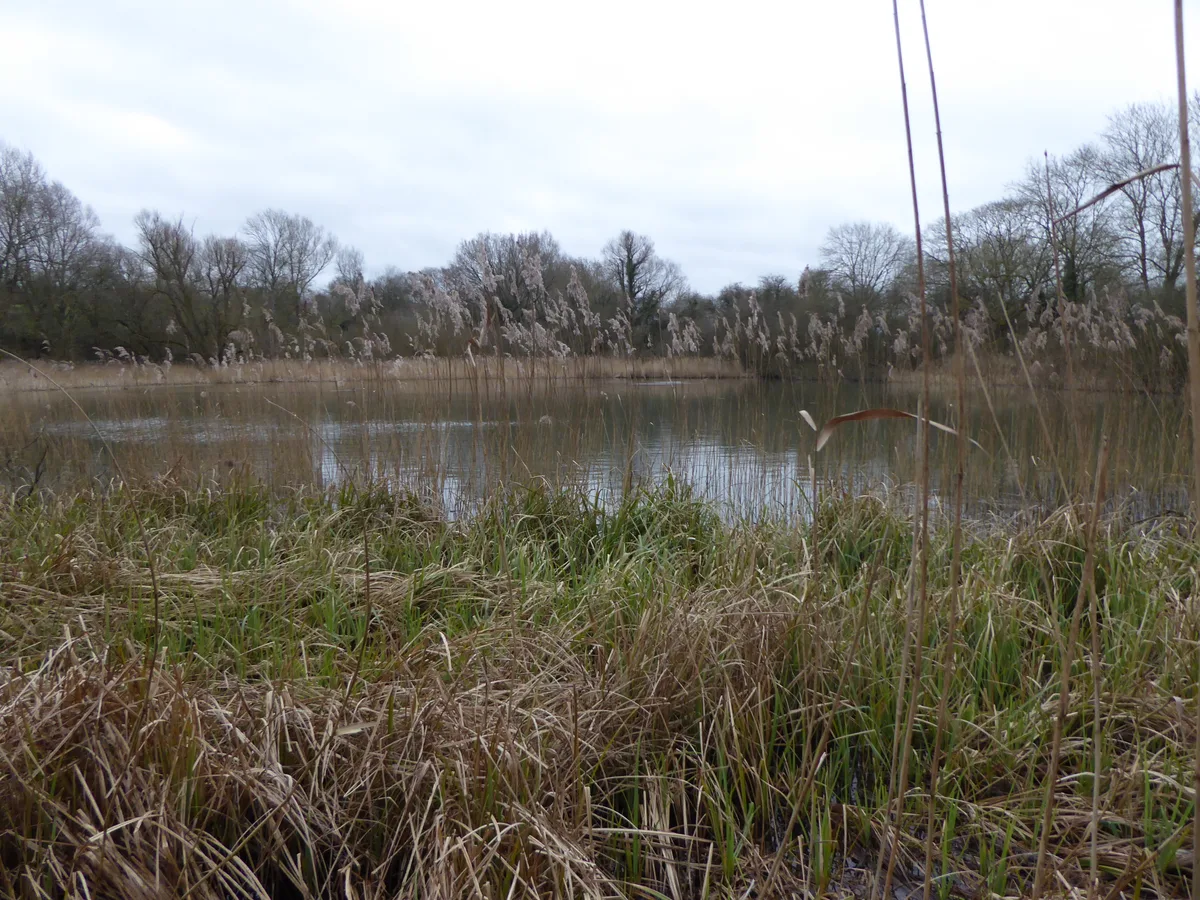
Byfield Pool
Byfield Pool — nature reserve in the United Kingdom.
 📷 5
📷 5Wildlife reserves · South East England
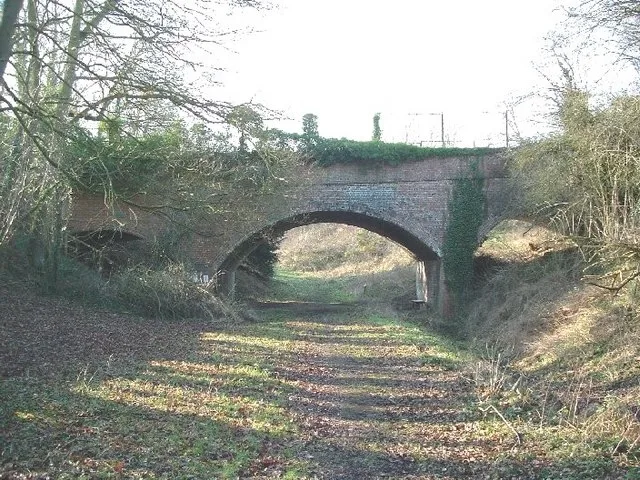
Farthinghoe Nature Reserve
Farthinghoe Nature Reserve — nature reserve in the United Kingdom.
 📷 3
📷 3Wildlife reserves · South East England
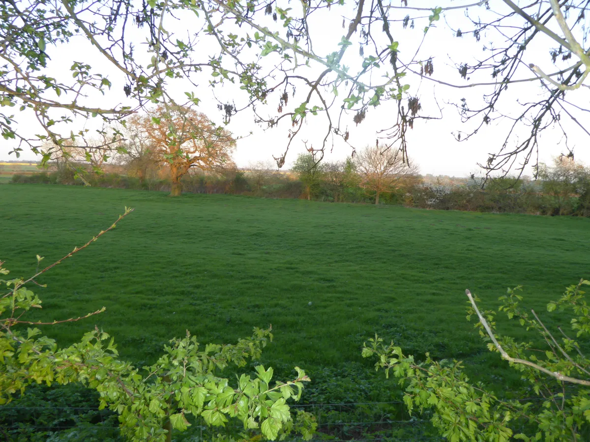
Grafton Regis Meadow
Grafton Regis Meadow — nature reserve in the United Kingdom.
More places in this region
 Flagship📷 10
Wildlife reserves · East of England
Amwell Quarry
Amwell Quarry — nature reserve in United Kingdom.
 Flagship📷 10
Wildlife reserves · East of England
Aubrey Buxton Nature Reserve
Aubrey Buxton Nature Reserve — Essex Wildlife Trust Nature reserve.
 Flagship📷 10
Wildlife reserves · East of England
Canvey Wick
Canvey Wick — nature reserve in Essex, United Kingdom.
 Flagship📷 10
Wildlife reserves · East of England
Crowsheath Wood
Crowsheath Wood — Essex Wildlife Trust Nature reserve.
Frequently asked questions
- Where is The Riddy?
- The Riddy is in London, United Kingdom (postcode SG19 1GE), in the parish of Sandy.
- What is The Riddy?
- The Riddy — nature reserve in the United Kingdom.
- How do I get to The Riddy?
- The nearest railway station is Sandy, about 1.2 km away. Drivers can use postcode SG19 1GE.
- Who runs The Riddy?
- The Riddy is operated by Wildlife Trust for Bedfordshire, Cambridgeshire and Northamptonshire.
- Is The Riddy free to visit?
- Yes, The Riddy is free to enter.
- How do I get to The Riddy?
- The nearest railway station is Sandy, about 1.2 km away. Drivers can navigate to postcode SG19 1GE.
- Are dogs allowed at The Riddy?
- Most wildlife reserves allow dogs on lead only, with restrictions during ground-nesting bird season (March-July). Check signage at the reserve.