
Mountains & hills · East of England
The Meg
In or near Pegsdon.
The Meg — a hill or mountain in england london.

David Howard — CC BY-SA 2.0 via Wikimedia Commons licence

Plan your visit
- Typical visit
- 3 h–8 h
- Best time of year
- Late spring – early autumn (May–Oct)
- Nearest railway station
- Leagrave · 7.5 km
- Dog-friendly
About
A British hill or mountain, named on Ordnance Survey maps and walked by hill-baggers. The Meg is a named hill or mountain in england london, recorded in the GeoNames UK gazetteer. British landmarks of this type are typically marked on Ordnance Survey maps and recorded in the national gazetteer for cartographic and navigational reference. Coordinates and feature classification are sourced from the GeoNames open dataset.
Photo gallery
Protected designations
- Area of Outstanding Natural Beauty: Chilterns
Designations sourced from Natural England open data under OGL v3.
Place summary
The Meg is a mountain located in London. It is known for its distinctive features and offers visitors a unique outdoor experience. The area surrounding The Meg provides opportunities for various outdoor activities and scenic views, appealing to nature enthusiasts and hikers alike.
AI-generated from the structured facts on this page (operator, designation, listing, era). Not a substitute for visiting.
- Coordinates
- 51.9534, -0.3819
- County
- Hertfordshire
- District
- North Hertfordshire
- Parish
- Hexton
- Postcode
- SG5 3JG
- Parliamentary constituency
- Hitchin
- Nearest railway station
- Leagrave — 7.5 km
Sources
- manual: geonames-6948246 (CC BY 4.0)
Other places nearby

Devil's Ditch
Gorges · 0.3 km

Clark's Hill
Mountains & hills · 0.4 km
Butts Hill
Mountains & hills · 0.5 km

Gravel Hill
Mountains & hills · 0.6 km
Lion Hill
Mountains & hills · 0.6 km

Hexton Chalk Pits
Forests & woodlands · 0.7 km

Reservoir
Reservoirs & lochs · 0.8 km

Pegsdon Hills
Wildlife reserves · 0.9 km

Telegraph Hill
Mountains & hills · 0.9 km
Pegsdon Hills
Forests & woodlands · 0.9 km
Hexton
Villages · 1.0 km

Church Hole
Gorges · 1.1 km
Nearby
📷 5📷 5Mountains & hills · East of England
Clark's Hill
Clark's Hill — a hill or mountain in england london.
📷 5📷 5📷 5📷 5Forests & woodlands · East of England
Hexton Chalk Pits
Hexton Chalk Pits is a forest or woodland in the United Kingdom.
Where to eat & stay near The Meg
Places to stay
 📷 5
📷 5 📷 5
📷 5Hotels · East of England
Offley Place Country House Hotel
Offley Place Country House Hotel — a hotel in england london.
 📷 3
📷 3Hotels · East of England
Hilton Garden Inn Luton North
Hilton Garden Inn Luton North — a hotel in england london. 4-star. Brand: Hilton Garden Inn.
 📷 5
📷 5 📷 7
📷 7Hotels · East of England
Spark by Hilton Luton
Spark by Hilton Luton — a hotel in england london. 4-star. Brand: Spark by Hilton.
 📷 7
📷 7Hotels · East of England
The Red Lion hotel
The Red Lion hotel — a hotel in england london.
Places to eat & drink
 📷 5
📷 5Historic pubs · East of England
Lilley Arms Public House
Lilley Arms Public House in England East, United Kingdom.
 📷 5
📷 5Historic pubs · East of England
The Green Man Public House
The Green Man Public House in England East, United Kingdom.
📷 5Historic pubs · East of England
The Bull Public House
The Bull Public House in England East, United Kingdom.
 📷 5
📷 5Restaurants · East of England
Old Moat House
Old Moat House — a restaurant in england london. Cuisine: pizza. Brand: Stonehouse Pizza & Carvery.
 📷 5
📷 5Historic pubs · East of England
The Highlander Public House
The Highlander Public House in England East, United Kingdom.
 📷 5
📷 5More mountains in this region
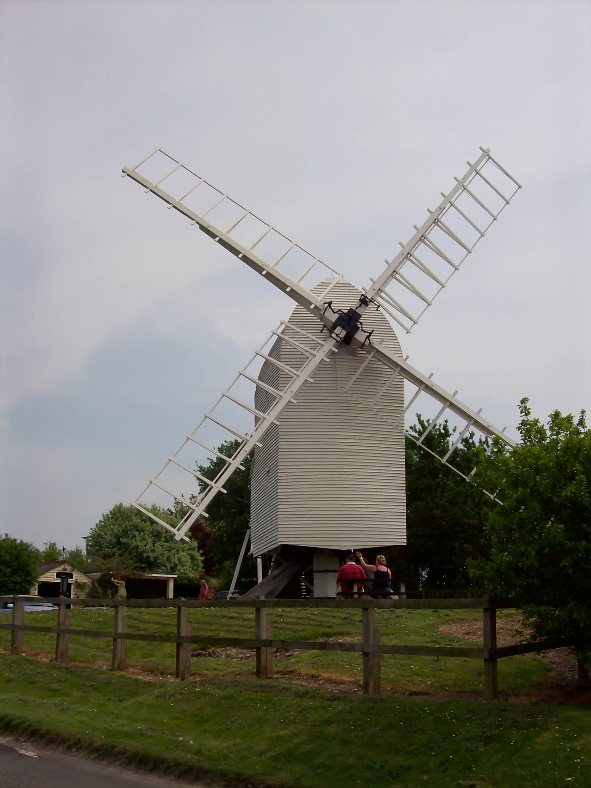 📷 5
📷 5Mountains & hills · East of England
Cambridgeshire County Top
Cambridgeshire County Top — Named summit at 146 m.
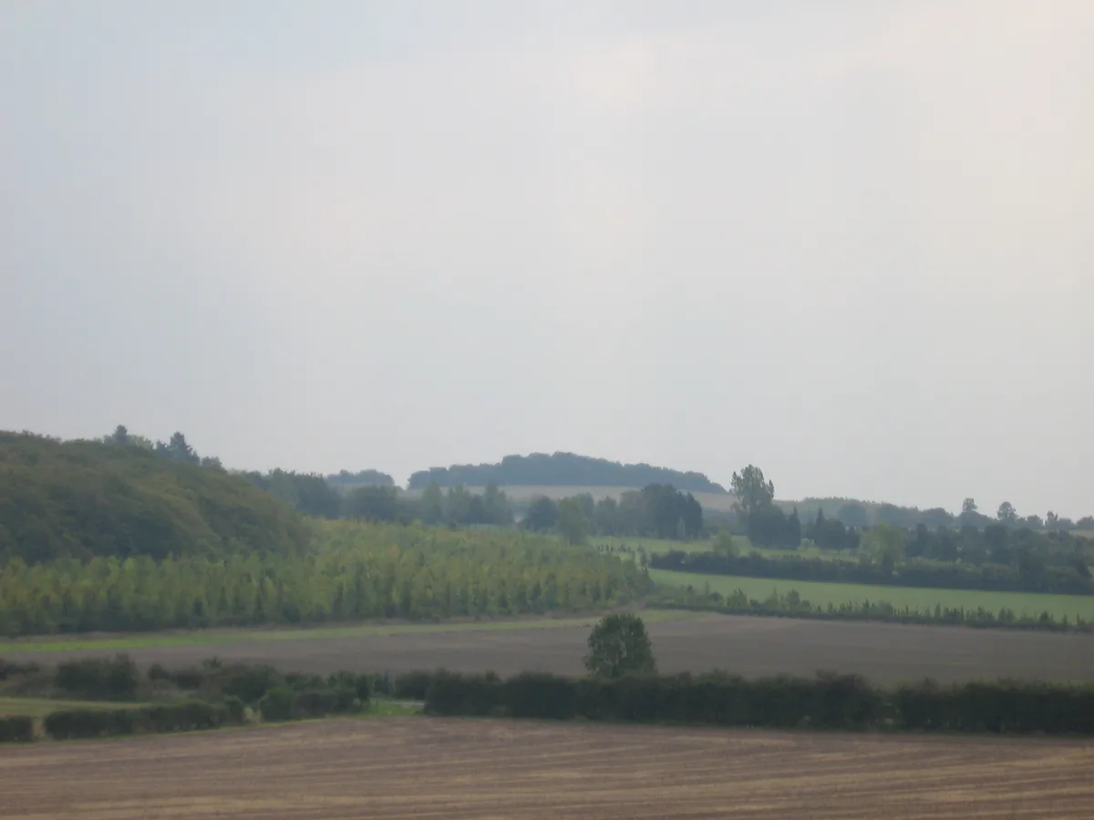 📷 5
📷 5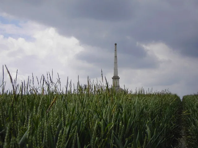 📷 5
📷 5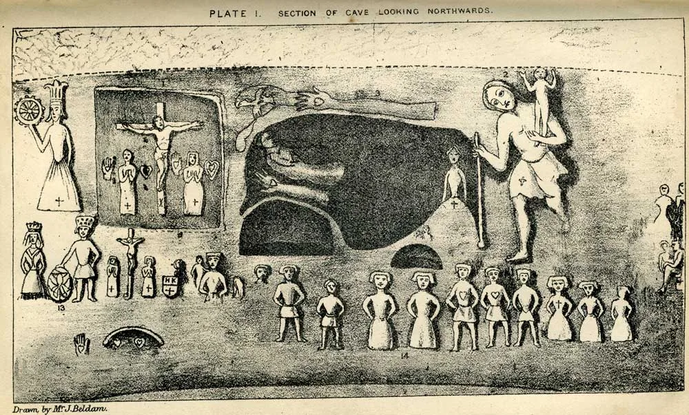 📷 5
📷 5Mountains & hills · East of England
Royston Cave
Royston Cave — Grade I listed building in North Hertfordshire, England, UK.
Frequently asked questions
- Where is The Meg?
- The Meg is in Hertfordshire, London, United Kingdom (postcode SG5 3JG), in the parish of Hexton.
- What is The Meg?
- The Meg — a hill or mountain in england london.
- How do I get to The Meg?
- The nearest railway station is Leagrave, about 7.5 km away. Drivers can use postcode SG5 3JG.
- Is The Meg a protected site?
- Yes — The Meg is part of the Chilterns National Landscape (AONB).
- How do I get to The Meg?
- The nearest railway station is Leagrave, about 7.5 km away. Drivers can navigate to postcode SG5 3JG.