
Archaeological sites · London
Thames Chase
In or near Little Burstead.
Thames Chase — Forest in London and Essex.

Wikimedia Commons licence
Plan your visit
- Typical visit
- 45 min–1.5 h
- Nearest railway station
- Upminster · 2.2 km
- Free entry
- Family-friendly
- Dog-friendly
Getting there & planning your visit
To visit Thames Chase, the nearest railway station is Upminster, located 2.2 km away. The postcode for your sat-nav is RM14 3NS. Entry is free.
About
Thames Chase is an archaeological site in the United Kingdom. Wikidata describes it as: "Forest in London and Essex". Coordinates: 51.5520°, 0.2820°.
Photo gallery
Official information
Thames Chase is a community forest focused on landscape regeneration and environmental conservation. Visitors can enjoy walking in the area, which is rich in wildlife and history.
From the Wikipedia article
The Thames Chase Community Forest is a community forest of 9842 hectares (24,320 acres/38 square miles) located in 47 sites in London and Essex, England. Established in 1990, the community forest is administered by the Thames Chase Trust, with a stated aim "to renew and regenerate the landscape at the edge of East London and South Essex by creating a varied wooded landscape for local people to influence, create, use, enjoy and cherish". The Thames Chase Forest Centre is located near Upminster. Forestry England manage the 56 hectares (140 acres) of new woodlands, meadows and ponds at the site for the benefit of people, nature and the climate.
Excerpt from Wikipedia under CC BY-SA 4.0. See the source article linked in Sources below.
- Coordinates
- 51.5520, 0.2820
- District
- Havering
- Parish
- Havering, unparished area
- Postcode
- RM14 3NS
- Parliamentary constituency
- Hornchurch and Upminster
- Phone
- 01708 642970
- Nearest railway station
- Upminster — 2.2 km
- Opening
- Revised opening hours due to extreme hot weather. On 24th, 25th, 26th June we will be open 10am-2pm
- Official site
- www.thameschase.org.uk
Sources
- wikidata: Q7709870 (CC0)
- wikipedia: Thames Chase (CC BY-SA 4.0)
Other places nearby

Thames Chase Visitor Centre
Natural landmarks · 0.0 km

Cranham Hall
Historic houses · 1.1 km
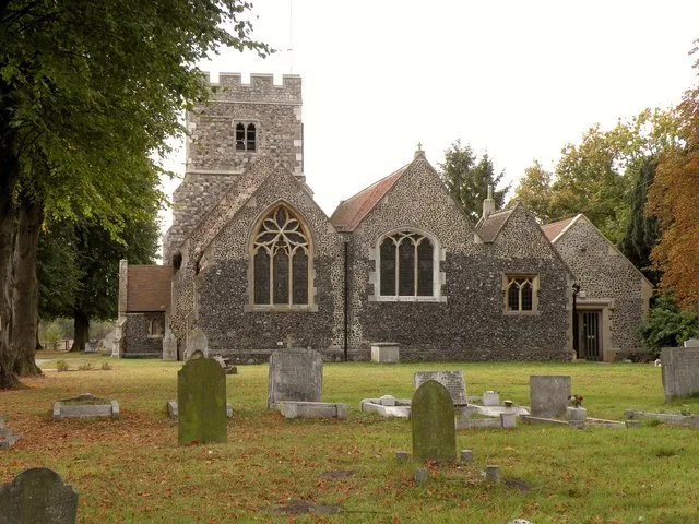
Church of St Mary Magdalene, North Ockendon
Historic churches · 1.2 km

Cranham Village Sign
Public art & sculpture · 1.3 km

Cranham
Chapels · 1.5 km
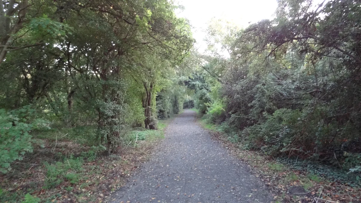
Cranham Brickfields
Wildlife reserves · 1.5 km

North Ockendon
Villages · 1.7 km
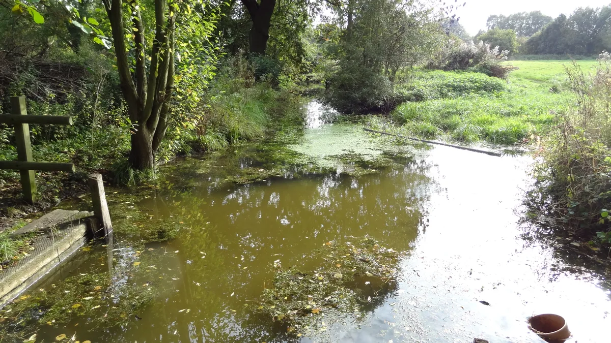
Cranham Marsh
Wildlife reserves · 1.7 km

Gaumont Upminster
Theatres · 2.0 km

North Ockendon
Chapels · 2.1 km

Upminster
Chapels · 2.2 km

Monks Farm Crocodile
Public art & sculpture · 2.3 km
Nearby
📷 5Natural landmarks · London
Thames Chase Visitor Centre
Thames Chase Visitor Centre — a natural landmark in england-london, United Kingdom.
📷 5Historic houses · London
Cranham Hall
Cranham Hall — grade II listed house in London Borough of Havering, United Kingdom.
📷 5Historic churches · London
Church of St Mary Magdalene, North Ockendon
Church of St Mary Magdalene, North Ockendon — Grade I listed church in the London Borough of Havering, England,UK.
📷 5Public art & sculpture · London
Cranham Village Sign
Cranham Village Sign — a public art in england-london, United Kingdom.
📷 5📷 5Wildlife reserves · London
Cranham Brickfields
Cranham Brickfields is a wildlife reserve in the United Kingdom.
Where to eat & stay near Thames Chase
Places to stay
 📷 5
📷 5Hotels · London
Devonshire Hotel
Devonshire Hotel — a hotel in england london.
 📷 5
📷 5 📷 5
📷 5Hotels · London
The Marygreen Manor Hotel
The Marygreen Manor Hotel — a hotel in england london.
 📷 5
📷 5Campsites · London
Cherrywood Campsite
Cherrywood Campsite — a campsite in england london.
 📷 5
📷 5 📷 5
📷 5Campsites · London
Thriftwood Scout Camp
Thriftwood Scout Camp — a campsite in england london.
Places to eat & drink
 📷 5
📷 5 📷 5
📷 5Historic pubs · London
Greyhound Public House
Greyhound Public House in England London, United Kingdom.
 📷 7
📷 7 📷 5
📷 5 📷 5
📷 5 📷 5
📷 5Historic pubs · East of England
Boars Head Public House
Boars Head Public House in England South East, United Kingdom.
More archaeological sites in this region
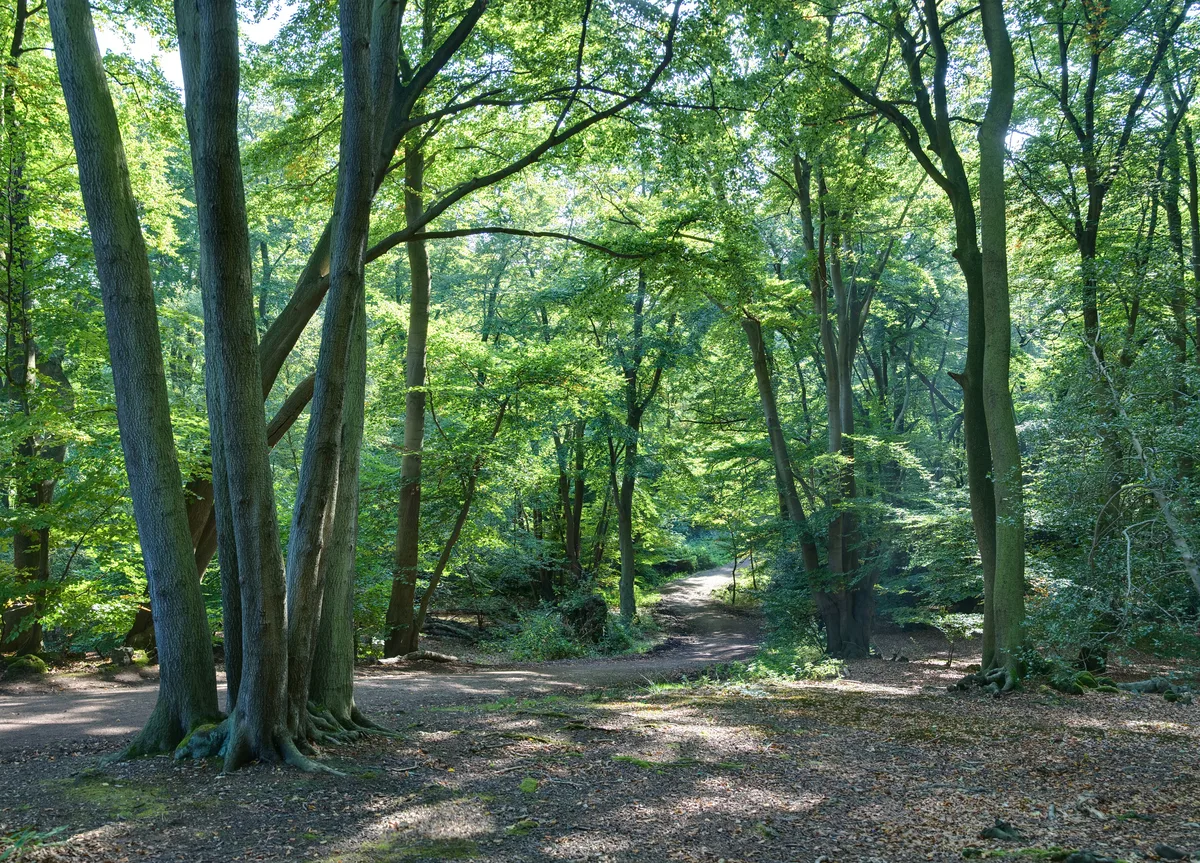 Flagship📷 10
Archaeological sites · London
Epping Forest
Epping Forest — royal forest in England.
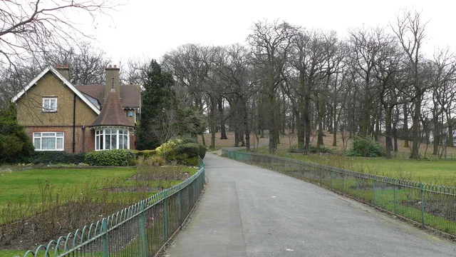 Flagship📷 10
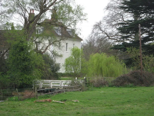 📷 5
📷 5Archaeological sites · London
A preceptory of the Knights Hospitallers, known as St John's Jerusalem, and an associated fishpond at Sutton-at-Hone
A preceptory of the Knights Hospitallers, known as St John's Jerusalem, and an associated fishpond at Sutton-at-Hone — archaeological site in Sutton-at-Hone and Hawley, Dartford, England, UK.
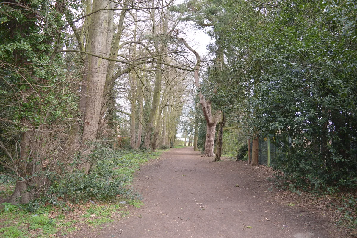 📷 5
📷 5Archaeological sites · London
Albans Wood
Albans Wood — Nature reserve in Hertfordshire, England.
Frequently asked questions
- Where is Thames Chase?
- Thames Chase is in London, United Kingdom (postcode RM14 3NS), in the parish of Havering, unparished area.
- What is Thames Chase?
- Thames Chase — Forest in London and Essex.
- How do I get to Thames Chase?
- The nearest railway station is Upminster, about 2.2 km away. The nearest town is Little Burstead. Drivers can use postcode RM14 3NS.
- Is Thames Chase free to visit?
- Yes, Thames Chase is free to enter.
- How do I get to Thames Chase?
- The nearest railway station is Upminster, about 2.2 km away. Drivers can navigate to postcode RM14 3NS.