Wildlife reserves · London
Cranham Brickfields
Cranham Brickfields is a wildlife reserve in the United Kingdom.

Wikimedia Commons contributors — see linked file page for photographer and licence licence
Plan your visit
- Typical visit
- 2 h–4 h
- Best time of year
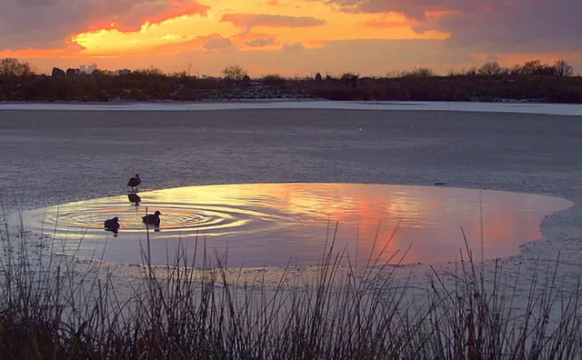
- Autumn & winter (migration & wildfowl)
- Nearest railway station
- Upminster · 2.0 km
- Free entry
- Dog-friendly
About
Cranham Brickfields is a wildlife reserve in the United Kingdom. Coordinates: 51.5656°, 0.2793°. This entry is part of The Great Britain Guide, a free, ad-free, open-data tourist directory.
Photo gallery
From the Wikipedia article
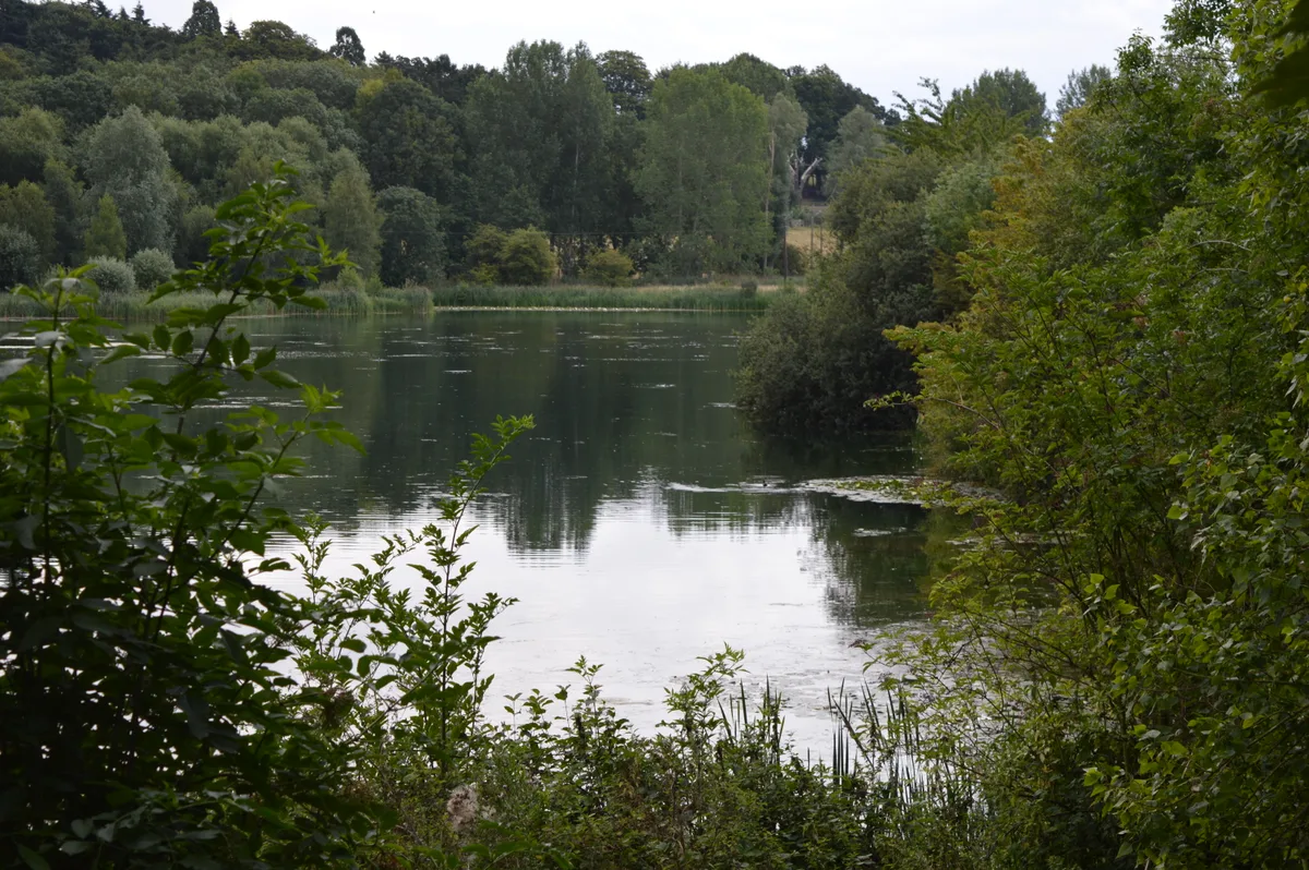
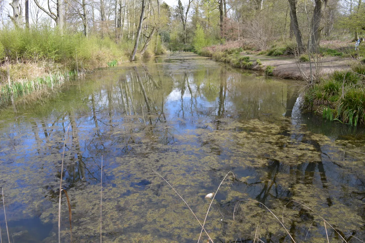
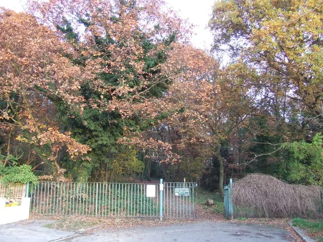
Cranham Brickfields is an 8.5 hectare Local Nature Reserve and a Site of Borough Importance for Nature Conservation, Grade I, in Cranham in the London Borough of Havering. It has an area of woodland with a pond, wildflower meadows, and a grassed area with a playground. The site was formerly used for excavating clay to make bricks, and during the Second World War vegetables were cultivated as part of the Dig for Victory campaign. Wildlife includes bullfinches, great crested newts, stag beetles and green hairstreak butterflies. There is also dyer's greenweed, which is rare in London. There is access from Sunnycroft Gardens and Limerick Gardens. The London, Tilbury and Southend line runs along the northern edge of the site, and a footpath under the railway leads to St Mary's Lane.
Excerpt from Wikipedia under CC BY-SA 4.0. See the source article linked in Sources below.
- Coordinates
- 51.5656, 0.2793
- District
- Havering
- Parish
- Havering, unparished area
- Postcode
- RM14 1JA
- Parliamentary constituency
- Hornchurch and Upminster
- Nearest railway station
- Upminster — 2 km
Sources
- wikidata: Q15211947 (CC0)
- wikipedia: Cranham Brickfields (CC BY-SA 4.0)
- commons: Cranham Brickfields path.JPG (CC BY-SA 4.0)
Other places nearby
Loading nearby places…
Nearby
 📷 5
📷 5Chapels · London
Cranham
Cranham — a methodist chapel in england-london, United Kingdom.
 📷 5
📷 5Public art & sculpture · London
Cranham Village Sign
Cranham Village Sign — a public art in england-london, United Kingdom.
 📷 5
📷 5Stately homes · London
Upminster Hall
Upminster Hall — building in Upminster, England.
 📷 5
📷 5Archaeological sites · London
Thames Chase
Thames Chase — Forest in London and Essex.
 📷 5
📷 5Natural landmarks · London
Thames Chase Visitor Centre
Thames Chase Visitor Centre — a natural landmark in england-london, United Kingdom.
 📷 5
📷 5Archaeological sites · London
Upminster Tithe Barn
Upminster Tithe Barn — historic building in London Borough of Havering, Greater London, England, UK.
More places in this region
 Flagship📷 10
Wildlife reserves · London
Amwell Quarry
Amwell Quarry — nature reserve in United Kingdom.
 Flagship📷 10
Wildlife reserves · London
Aubrey Buxton Nature Reserve
Aubrey Buxton Nature Reserve — Essex Wildlife Trust Nature reserve.
 Flagship📷 10
Wildlife reserves · London
Bedfords Park
Bedfords Park — Havering London Borough green landscape, also an Essex Wildlife Trust Nature reserve.
 Flagship📷 10
Wildlife reserves · London
Biggin Wood
Biggin Wood — preserved ancient woodland.
Frequently asked questions
- Where is Cranham Brickfields?
- Cranham Brickfields is in London, United Kingdom (postcode RM14 1JA), in the parish of Havering, unparished area.
- Is Cranham Brickfields free to visit?
- Yes, Cranham Brickfields is free to enter.
- How do I get to Cranham Brickfields?
- The nearest railway station is Upminster, about 2.0 km away. Drivers can navigate to postcode RM14 1JA.
- Are dogs allowed at Cranham Brickfields?
- Most wildlife reserves allow dogs on lead only, with restrictions during ground-nesting bird season (March-July). Check signage at the reserve.