
Mountains & hills · West Midlands
Tegg's Nose
In or near Rainow.
Tegg's Nose — mountain in england west midlands. Elevation: 380 m.

Jonathan Kington — CC BY-SA 2.0 via Wikimedia Commons licence

Plan your visit
- Typical visit
- 3 h–8 h
- Best time of year
- Late spring – early autumn (May–Oct)
- Nearest railway station
- Macclesfield · 3.0 km
- Dog-friendly
About
Tegg's Nose is a mountain located in england west midlands. Elevation: 380 m. A named British peak recorded in OpenStreetMap. Peaks are typically named on Ordnance Survey 1:50k mapping.
Photo gallery
Place summary
Tegg's Nose is a mountain located in the West Midlands. It is known for its natural beauty and offers a variety of walking trails for outdoor enthusiasts. Visitors can expect panoramic views of the surrounding landscape. The area is suitable for hiking and exploring the local flora and fauna.
AI-generated from the structured facts on this page (operator, designation, listing, era). Not a substitute for visiting.
- Coordinates
- 53.2504, -2.0796
- District
- Cheshire East
- Parish
- Macclesfield
- Postcode
- SK11 0AQ
- Parliamentary constituency
- Macclesfield
- Nearest railway station
- Macclesfield — 3 km
Sources
- osm: n428510076 (ODbL)
Other places nearby

Tegg's Nose Quarry
Historic houses · 0.0 km

Tegg's Nose
Country parks · 0.1 km

Tegg's Nose South Peak
Mountains & hills · 0.2 km

Brink
Mountains & hills · 1.4 km

Walter Whiston Bullock
Memorials & monuments · 1.4 km

Ridgegate Reservoir
Reservoirs & lochs · 1.4 km

Grit and Gears II
Mountain bike trails · 1.5 km

Forest Bridleway
Mountain bike trails · 1.9 km

Langley
Villages · 1.9 km

Trentabank Reservoir
Reservoirs & lochs · 1.9 km

Whitehills
Mountains & hills · 2.0 km
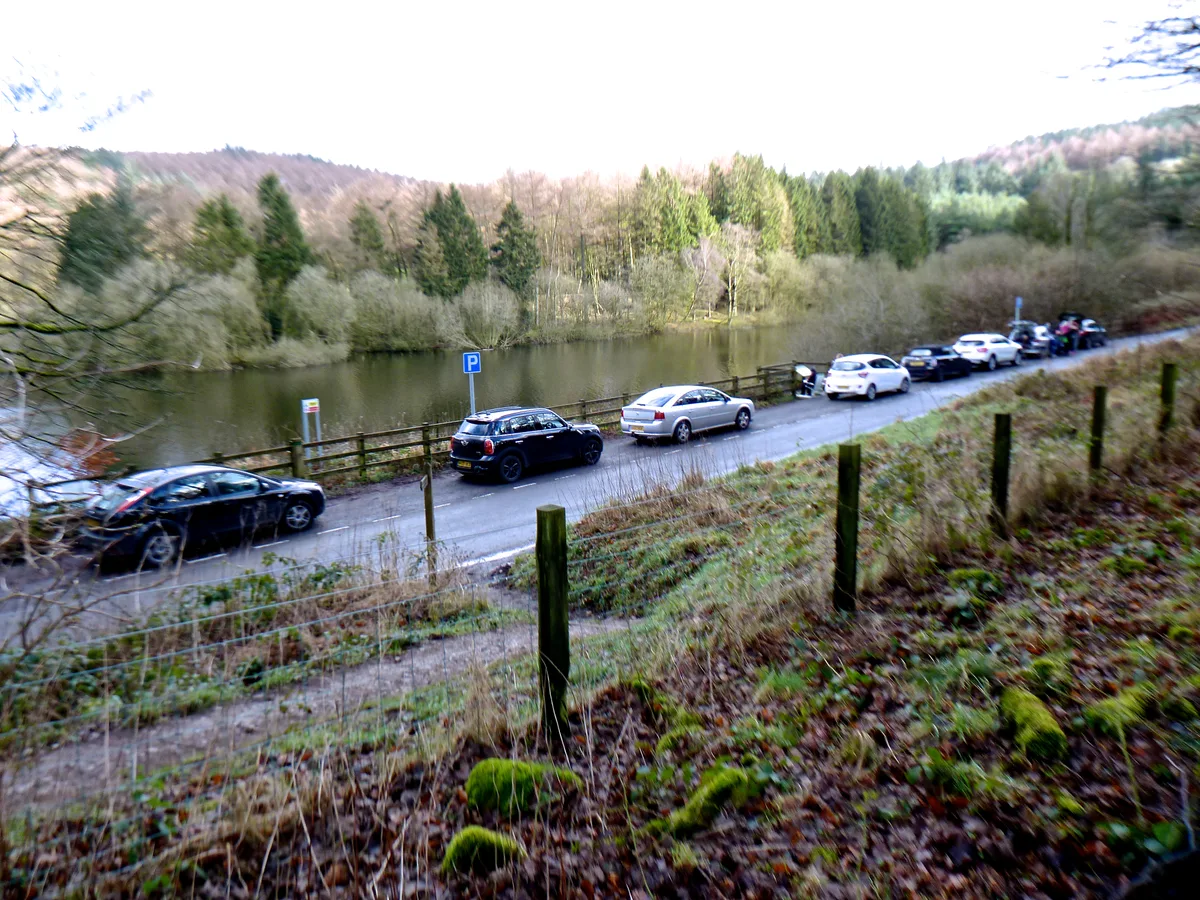
Trentabank Reservoir Nature Reserve
Wildlife reserves · 2.0 km
Nearby
📷 3Historic houses · West Midlands
Tegg's Nose Quarry
Tegg's Nose Quarry — a historic house in West Midlands, United Kingdom.
📷 5Country parks · North West England
Tegg's Nose
Tegg's Nose is a hill east of Macclesfield in Cheshire, England. It has a short ridge with a high point of 380 metres (1,250 ft) at SJ947725, terminating in a promontory at the southern end. It lies o
📷 5Mountains & hills · West Midlands
Tegg's Nose South Peak
Tegg's Nose South Peak — mountain in england west midlands.
📷 5📷 3Memorials & monuments · West Midlands
Walter Whiston Bullock
Walter Whiston Bullock — a memorial in West Midlands, United Kingdom.
📷 3Reservoirs & lochs · West Midlands
Ridgegate Reservoir
Ridgegate Reservoir — reservoir in Cheshire, England, UK.
Where to eat & stay near Tegg's Nose
Places to stay
 📷 5
Hotels · West Midlands
Hollin House Hotel
Hollin House Hotel — a hotel in england west midlands.
 📷 5
Caravan parks · West Midlands
Stoneyfold Caravan Park
Stoneyfold Caravan Park — a caravan park in england west midlands.
 📷 5
Campsites · West Midlands
Gradbach Scout Camp
Gradbach Scout Camp — a campsite in england west midlands.
📷 5📷 5 📷 5
Caravan parks · Yorkshire & the Humber
Eastwood End Holiday Park
Eastwood End Holiday Park — a caravan park in england west midlands.
Places to eat & drink
 📷 5
Restaurants · West Midlands
Sutton Hall
Sutton Hall — a restaurant in england west midlands.
 📷 5
Historic pubs · North West England
Lord Byron Public House
Lord Byron Public House in England North West, United Kingdom.
 📷 5
Historic pubs · North West England
The Castle, Macclesfield
The Castle, Macclesfield in England North West, United Kingdom.
 📷 5
Historic pubs · North West England
2 and 4, Market Place
2 and 4, Market Place in England North West, United Kingdom.
 📷 7
Historic pubs · North West England
George Hotel Public House
George Hotel Public House in England North West, United Kingdom.
 📷 5
Historic pubs · North West England
Bate Hall Public House
Bate Hall Public House in England North West, United Kingdom.
More mountains in this region
 📷 5
Mountains & hills · West Midlands
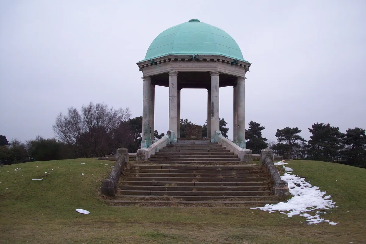
Stile Cop
Stile Cop — mountain in england east midlands. Elevation: 219 m.
 📷 5
Mountains & hills · West Midlands
Rawnsley Hill
Rawnsley Hill — mountain in england east midlands. Elevation: 237 m.
 📷 5
Mountains & hills · West Midlands
Hound Hill
Hound Hill — mountain in england east midlands. Elevation: 98 m.
 📷 5
Frequently asked questions
- Where is Tegg's Nose?
- Tegg's Nose is in the West Midlands, United Kingdom (postcode SK11 0AQ), in the parish of Macclesfield.
- What is Tegg's Nose?
- Tegg's Nose — mountain in england west midlands. Elevation: 380 m.
- How do I get to Tegg's Nose?
- The nearest railway station is Macclesfield, about 3.0 km away. The nearest town is Rainow. Drivers can use postcode SK11 0AQ.
- How do I get to Tegg's Nose?
- The nearest railway station is Macclesfield, about 3.0 km away. Drivers can navigate to postcode SK11 0AQ.