
Mountains & hills · North West England
Tarn Crag
In or near Grasmere.
Tarn Crag — mountain in england north west. Elevation: 505.7 m.

Peter S — CC BY-SA 2.0 via Wikimedia Commons licence

Plan your visit
- Typical visit
- 3 h–8 h
- Best time of year
- Late spring – early autumn (May–Oct)
- Dog-friendly
About
Tarn Crag is a mountain located in england north west. Elevation: 505.7 m. A named British peak recorded in OpenStreetMap. Peaks are typically named on Ordnance Survey 1:50k mapping.
Photo gallery
Protected designations
- Site of Special Scientific Interest: Langdale Pikes SSSI
Designations sourced from Natural England open data under OGL v3.
Place summary
Tarn Crag is a mountain located in North-West England. It is part of the Lake District National Park, known for its rugged terrain and scenic views. Visitors can expect a challenging ascent, with opportunities for hiking and enjoying the surrounding landscape. The area is popular with walkers and climbers seeking to explore the natural beauty of the region.
AI-generated from the structured facts on this page (operator, designation, listing, era). Not a substitute for visiting.
- Coordinates
- 54.4585, -3.0969
- District
- Westmorland and Furness
- Parish
- Lakes
- Postcode
- LA22 9JX
- Parliamentary constituency
- Westmorland and Lonsdale
Sources
- osm: n12599438567 (ODbL)
Other places nearby
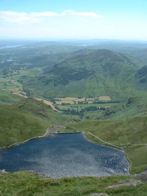
Stickle Tarn
Natural landmarks · 0.4 km
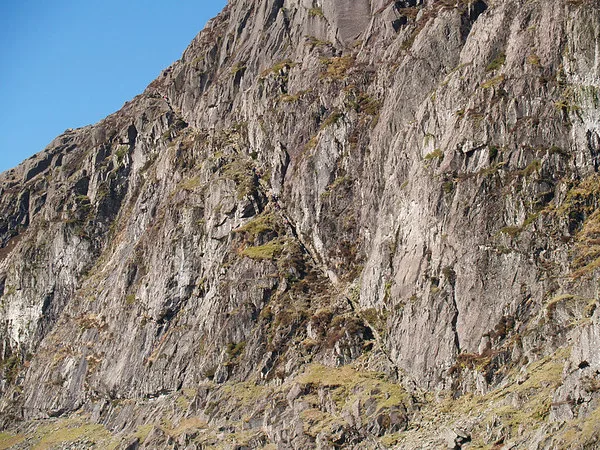
Pavey Ark
Natural landmarks · 0.6 km

Lake District National Park
National parks · 0.6 km
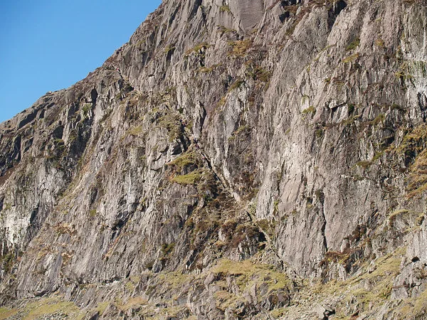
Pavey Ark
Mountains & hills · 0.6 km

Dungeon Ghyll Waterfall
Waterfalls · 0.8 km

Axe Workings
Archaeological sites · 0.8 km
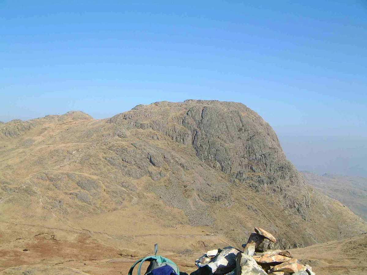
Harrison Stickle
Mountains & hills · 0.8 km
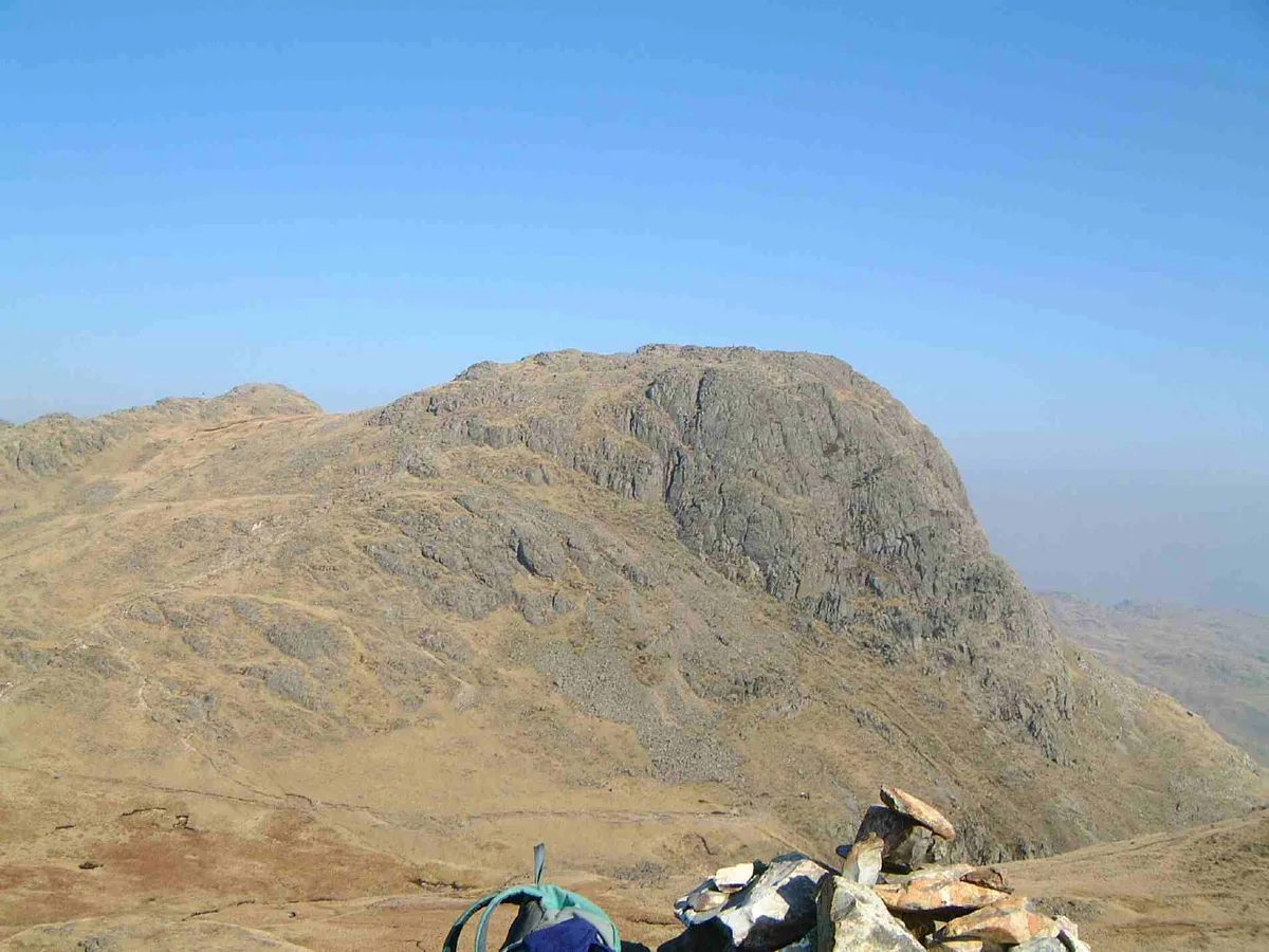
Harrison Stickle
Natural landmarks · 0.9 km

Stone Age Quarry
Archaeological sites · 1.0 km

Dungeon Ghyll Force
Waterfalls · 1.0 km
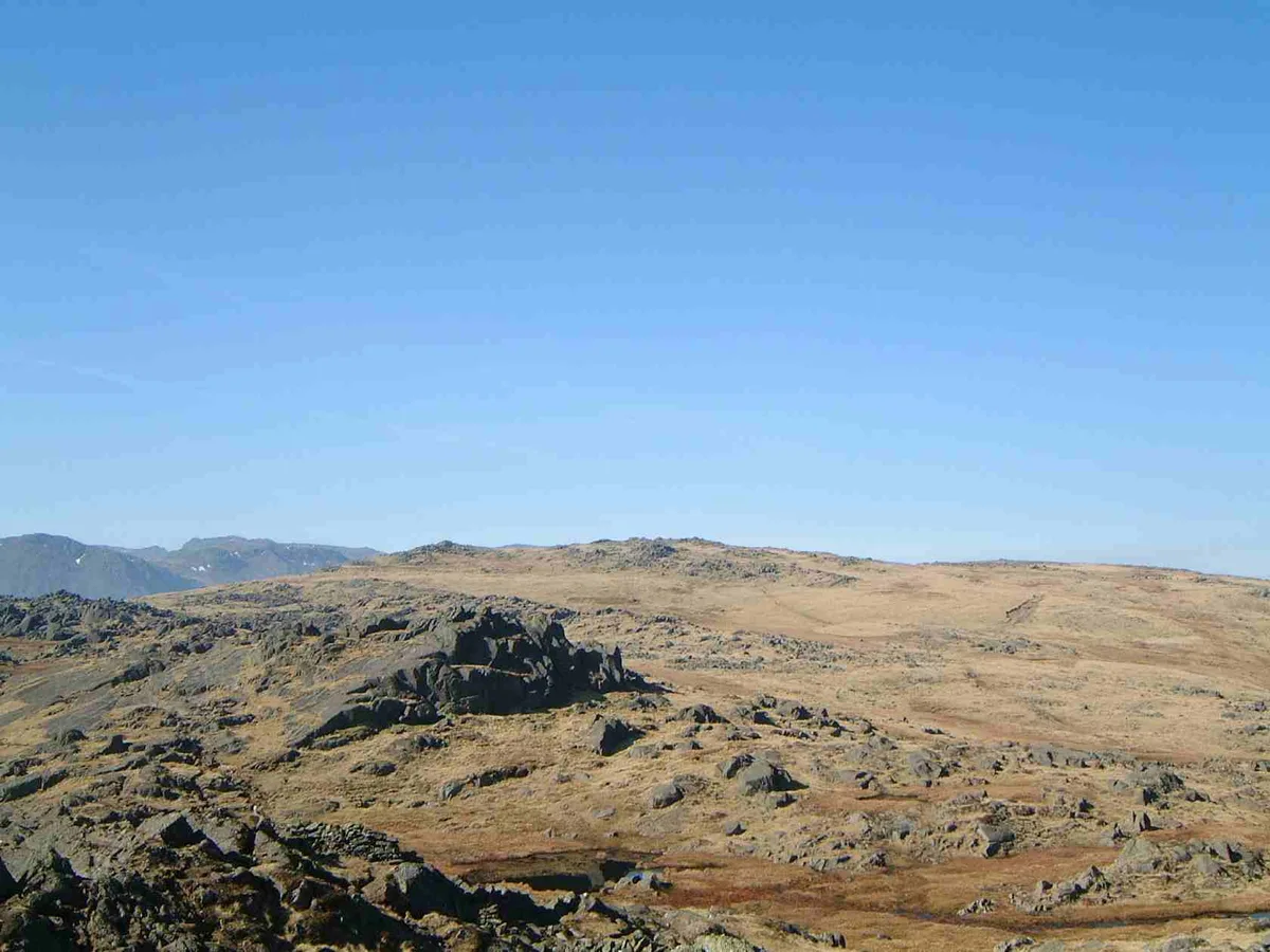
Thunacar Knott (summit)
Mountains & hills · 1.1 km

Blea Rigg (high point)
Mountains & hills · 1.1 km
Nearby
Flagship📷 3Natural landmarks · North West England
Stickle Tarn
Stickle Tarn — lake near Harrison Stickle, Langdale, Cumbria, United Kingdom.
📷 3★ Iconic📷 5National parks · North West England
Lake District National Park
England's largest national park — mountains, lakes, Wordsworth country, UNESCO.
📷 3📷 5Waterfalls · North West England
Dungeon Ghyll Waterfall
Dungeon Ghyll Waterfall — waterfall in england north west.
📷 3Archaeological sites · North West England
Axe Workings
Axe Workings — an archaeological site in North West England, United Kingdom.
Where to eat & stay near Tarn Crag
Places to stay
 📷 5
Caravan parks · North West England
Greenhowe Caravan Park
Greenhowe Caravan Park — a caravan park in england north west.
 📷 5
Campsites · North West England
Great Langdale Campsite
Great Langdale Campsite — a campsite in england north west.
 📷 5
Campsites · North West England
Baysbrown Farm
Baysbrown Farm — a campsite in england north west.
 📷 5
 📷 5
Hostels · North West England
Thorney How
Thorney How — a hostel in england north west.
 📷 5
Places to eat & drink
 📷 7
Historic pubs · North West England
The Travellers Rest
The Travellers Rest in England North West, United Kingdom.
 📷 5
Historic pubs · North West England
Golden Rule Hotel
Golden Rule Hotel in England North West, United Kingdom.
 📷 7
Cafés · North West England
Grange Bridge Cottage
Grange Bridge Cottage — a café in england north east.
 📷 5
Historic pubs · North West England
Sun Cottage Sun Inn Public House
Sun Cottage Sun Inn Public House in England North West, United Kingdom.
 📷 5
Restaurants · North West England
Holbeck Ghyll Restaurant
Holbeck Ghyll Restaurant — a restaurant in england north west.
 📷 4
Restaurants · North West England
Holbeck Ghyll
Holbeck Ghyll is a restaurant located in Windermere, Cumbria, England. "The late 19th century building was once Lord Lonsdale's hunting lodge and only became a hotel in the 1970s. It won a Michelin st
More mountains in this region
 📷 5
Mountains & hills · North West England
Appleton Park
Appleton Park — a hill or mountain in england west midlands.
 📷 5
Mountains & hills · North West England
High Warren
High Warren — mountain in england west midlands. Elevation: 105 m.
 📷 5
Mountains & hills · North West England
Alderley Edge
Alderley Edge — mountain in england west midlands. Elevation: 194 m.
 📷 3
Frequently asked questions
- Where is Tarn Crag?
- Tarn Crag is in North-West England, United Kingdom (postcode LA22 9JX), in the parish of Lakes.
- What is Tarn Crag?
- Tarn Crag — mountain in england north west. Elevation: 505.7 m.
- How do I get to Tarn Crag?
- The nearest town is Grasmere. Drivers can use postcode LA22 9JX.
- Is Tarn Crag a protected site?
- Yes — Tarn Crag is part of the Langdale Pikes SSSI Site of Special Scientific Interest.
- How do I get to Tarn Crag?
- Drivers can navigate to postcode LA22 9JX. It sits within the Westmorland and Lonsdale parliamentary constituency.