
Beaches · North East England
Suger Sands
In or near Craster.
Suger Sands is a beach in the United Kingdom.

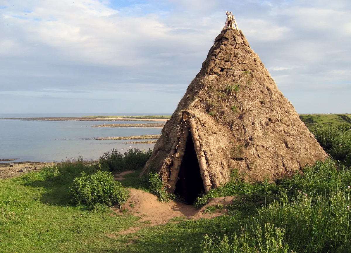
Oliver Dixon — CC BY-SA 2.0 via Wikimedia Commons licence

Plan your visit
- Typical visit
- 1 h–3 h
- Best time of year
- Summer (Jun–Aug)
- Nearest railway station
- Alnmouth · 5.8 km
- Free entry
- Family-friendly
- Dog-friendly
About
Suger Sands is a beach on the coast of the Scottish Lowlands. The site is within the Northumberland Coast National Landscape (AONB), and is a designated Site of Special Scientific Interest. It sits within the North Northumberland parliamentary constituency. The nearest railway station is Alnmouth, about 5.8 km away. Postcode area NE66.
Photo gallery
360° viewimagery from 2024
Imagery © Mapillary contributors, CC BY-SA 4.0
Protected designations
- Site of Special Scientific Interest: Howick to Seaton Point SSSI
- Site of Special Scientific Interest: Northumberland Shore SSSI
- Area of Outstanding Natural Beauty: Northumberland Coast
- Ramsar wetland: Northumbria Coast
Designations sourced from Natural England open data under OGL v3.
Place summary
Suger Sands is a beach located in Longhoughton, within the Scottish Lowlands (postcode NE66). It is part of the Northumberland Coast Area of Outstanding Natural Beauty (AONB) and is designated as a Site of Special Scientific Interest (SSSI) under both Howick to Seaton Point and Northumberland Shore.
AI-generated from the structured facts on this page (operator, designation, listing, era). Not a substitute for visiting.
- Coordinates
- 55.4372, -1.5898
- District
- Northumberland
- Parish
- Longhoughton
- Postcode
- NE66 3AL
- Parliamentary constituency
- North Northumberland
- Nearest railway station
- Alnmouth — 5.8 km
Sources
- osm: w906863647 (ODbL)
Other places nearby

Howdlemont Sands
Beaches · 0.5 km

Howick Hillfort
Archaeological sites · 0.6 km

Howick
Villages · 0.6 km

Boulmer
Other places · 1.5 km

Coast & Castles Camp Site
Campsites · 1.6 km

Longhoughton
Historic churches · 1.6 km

Howick
Historic houses · 1.6 km

Road Bridge And Footbridge 320 Metres South East Of Howick Hall
Historic bridges · 1.6 km

HMS G11
Burial mounds & barrows · 1.7 km
Howick house
Hill forts · 1.9 km

Church of Saints Peter and Paul
Historic churches · 1.9 km

Howick Arboretum
Botanic gardens · 2.0 km
Nearby
📷 3Beaches · North East England
Howdlemont Sands
Howdlemont Sands is a beach in the United Kingdom.
📷 5Archaeological sites · North East England
Howick Hillfort
Howick Hillfort — archaeological in scotland lowlands. Operated by Historic England.
📷 5📷 5📷 5Campsites · North East England
Coast & Castles Camp Site
Coast & Castles Camp Site — a campsite in scotland lowlands.
📷 5Historic churches · North East England
Longhoughton
Longhoughton in England North East, United Kingdom.
Where to eat & stay near Suger Sands
Places to stay
📷 5Campsites · North East England
Coast & Castles Camp Site
Coast & Castles Camp Site — a campsite in scotland lowlands.
 📷 5
📷 5Caravan parks · North East England
Seaton Park Caravans
Seaton Park Caravans — a caravan park in scotland lowlands.
 📷 5
📷 5Hotels · North East England
The Cottage Inn
The Cottage Inn — a hotel in scotland lowlands.
 📷 5
📷 5Caravan parks · North East England
Proctors Stead
Proctors Stead — a caravan park in scotland lowlands.
 📷 4
📷 4Hotels · North East England
Schooner Hotel
Schooner Hotel in England North East, United Kingdom.
 📷 5
📷 5Campsites · North East England
Dunstan Hill Camping and Caravanning Club Site
Dunstan Hill Camping and Caravanning Club Site — a campsite in scotland lowlands.
Places to eat & drink
 📷 7
📷 7 📷 7
📷 7Historic pubs · North East England
The Tanners Arms
The Tanners Arms in Scotland Lowlands, United Kingdom.
 📷 5
📷 5Cafés · North East England
Mean Bean Coffee
Mean Bean Coffee — a café in scotland lowlands.
📷 7 📷 7
📷 7 📷 7
📷 7Historic pubs · North East England
Crown Public House
Crown Public House in Scotland Lowlands, United Kingdom.
More beaches in this region
 📷 3
📷 3 📷 3
📷 3Beaches · North East England
Cattersty Sands
Cattersty Sands is a beach in the United Kingdom.
 📷 3
📷 3 📷 3
📷 3Beaches · North East England
Saltburn Sands
Saltburn Sands is a beach in the United Kingdom.
Frequently asked questions
- Where is Suger Sands?
- Suger Sands is in the Scottish Lowlands, United Kingdom (postcode NE66 3AL), in the parish of Longhoughton.
- What is Suger Sands?
- Suger Sands is a beach in the United Kingdom.
- How do I get to Suger Sands?
- The nearest railway station is Alnmouth, about 5.8 km away. Drivers can use postcode NE66 3AL.
- Is Suger Sands a protected site?
- Yes — Suger Sands is part of the Howick to Seaton Point SSSI Site of Special Scientific Interest and the Northumberland Shore SSSI Site of Special Scientific Interest.
- Is Suger Sands free to visit?
- Yes, Suger Sands is free to enter.
- How do I get to Suger Sands?
- The nearest railway station is Alnmouth, about 5.8 km away. Drivers can navigate to postcode NE66 3AL.