
Historic bridges · North East England
Road Bridge And Footbridge 320 Metres South East Of Howick Hall
In or near Craster.
Road Bridge And Footbridge 320 Metres South East Of Howick Hall — Grade II listed building-listed bridge in scotland-lowlands, United Kingdom.

Russel Wills — CC BY-SA 2.0 via Wikimedia Commons licence

Plan your visit
- Typical visit
- 15 min–30 min
- Nearest railway station
- Alnmouth · 6.5 km
- Free entry
- Dog-friendly
Getting there & planning your visit
To visit the Road Bridge and Footbridge 320 metres south east of Howick Hall, the nearest railway station is Alnmouth, located 6.5 km away. Entry is free.
About
Road Bridge And Footbridge 320 Metres South East Of Howick Hall is a Grade II listed building-listed bridge in scotland-lowlands, United Kingdom, registered on the National Heritage List for England (NHLE entry 1371187). Listed status protects buildings and structures of special architectural or historic interest. See the linked Wikipedia article for further details.
Photo gallery
Heritage listing
Details NU 2417 LONGHOUGHTON HOWICK HALL 16/134 Road bridge and footbridge 320 metres south-east of Howick Hall II Road bridge and foot bridge. Probably early C19. Tooled ashlar; cast-iron railings on footbridge. Road bridge over the Howick Burn; higher-level footbridge carrying a path through the Hall gardens spans north end of roadway. Road bridge has segmental arch with a similar but smaller flood arch on the south. Square band below parapet with moulded plinth and coping divided into 17 bays by shallow pilasters. At south end parapets end in taller rectangular piers with low pyramidal caps; at north end they step up to join footbridge, which has a chamfered segmental arch and a band below an arched dwarf wall carrying railing; square-section standards with multi-moulded finials and bars with moulded circular tops. Listing NGR: NU2504417272 Legacy The contents of this record have been generated from a legacy data system. Legacy System number: 237025 Legacy System: LBS
From the Historic England List Entry under OGL v3.
Protected designations
- Site of Special Scientific Interest: Northumberland Shore SSSI
- Area of Outstanding Natural Beauty: Northumberland Coast
Designations sourced from Natural England open data under OGL v3.
Place summary
The Road Bridge and Footbridge, located 320 metres south-east of Howick Hall in the Scottish Lowlands, is a Grade II listed building. This structure serves as a notable example of bridge architecture within the parish of Longhoughton.
AI-generated from the structured facts on this page (operator, designation, listing, era). Not a substitute for visiting.
- Coordinates
- 55.4487, -1.6056
- District
- Northumberland
- Parish
- Longhoughton
- Postcode
- NE66 3LB
- Parliamentary constituency
- North Northumberland
- Nearest railway station
- Alnmouth — 6.5 km
- Official site
- www.howickhallgardens.org
Sources
- wikidata: Q26652365 (CC0)
Other places nearby

Howick Arboretum
Botanic gardens · 0.3 km

Howick Hall
Historic houses · 0.4 km

Howick
Historic houses · 0.5 km
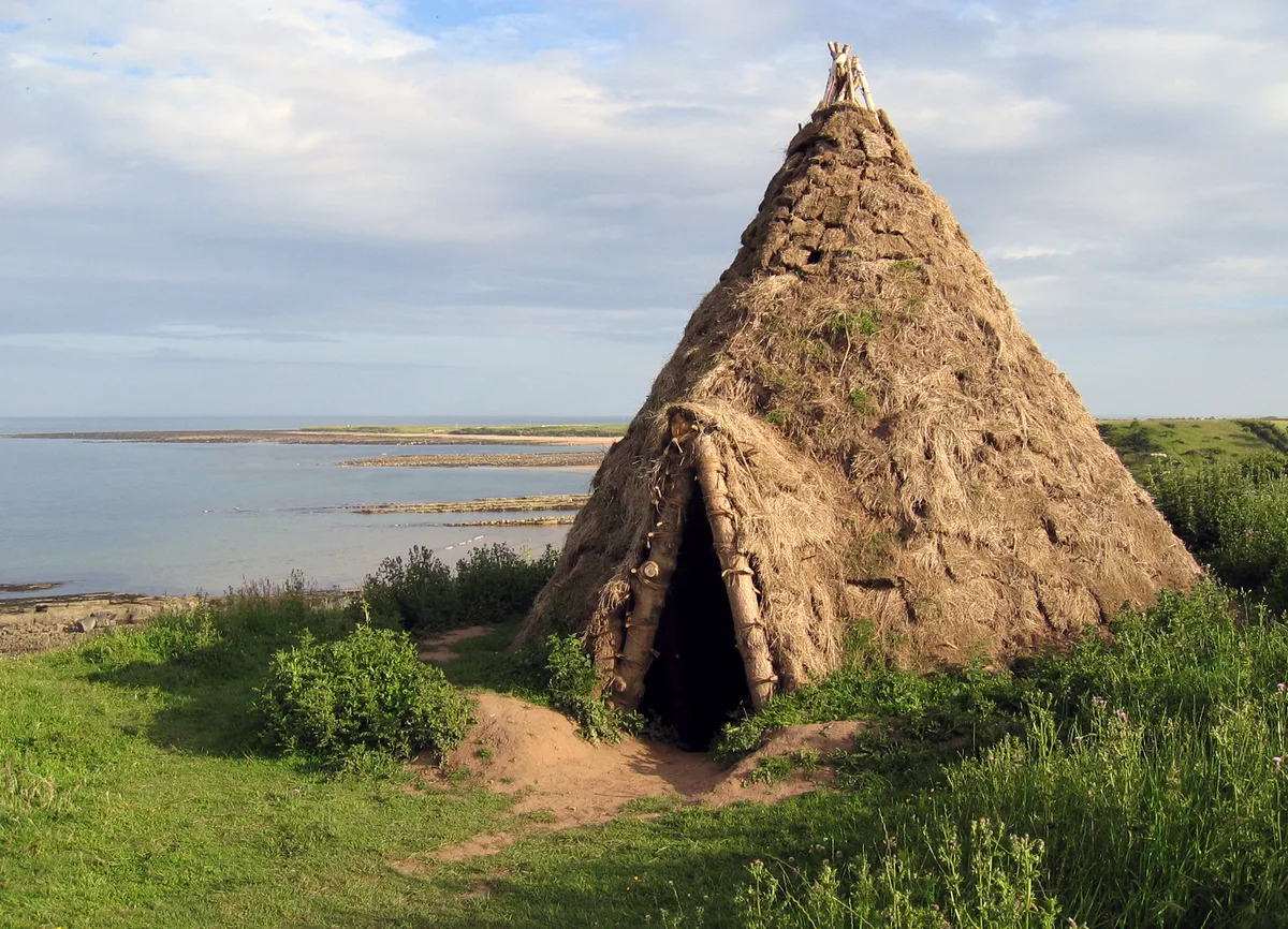
Howick house
Hill forts · 1.0 km

Howick Hillfort
Archaeological sites · 1.1 km

HMS G11
Burial mounds & barrows · 1.1 km

Suger Sands
Beaches · 1.6 km

Longhoughton
Historic churches · 1.8 km

Howdlemont Sands
Beaches · 2.1 km

Howick
Villages · 2.2 km

Church of Saints Peter and Paul
Historic churches · 2.3 km

Craster Tower
Castles · 2.3 km
Nearby
📷 5Botanic gardens · North East England
Howick Arboretum
Howick Arboretum — a botanic garden in scotland lowlands.
📷 5Historic houses · North East England
Howick Hall
Howick Hall in England North East, United Kingdom.
📷 5📷 3📷 5Archaeological sites · North East England
Howick Hillfort
Howick Hillfort — archaeological in scotland lowlands. Operated by Historic England.
📷 4Burial mounds & barrows · North East England
HMS G11
HMS G11 in England North East, United Kingdom.
Where to eat & stay near Road Bridge And Footbridge 320 Metres South East Of Howick Hall
Places to stay
 📷 5
📷 5Campsites · North East England
Coast & Castles Camp Site
Coast & Castles Camp Site — a campsite in scotland lowlands.
 📷 5
📷 5Hotels · North East England
The Cottage Inn
The Cottage Inn — a hotel in scotland lowlands.
 📷 5
📷 5Caravan parks · North East England
Proctors Stead
Proctors Stead — a caravan park in scotland lowlands.
 📷 5
📷 5Campsites · North East England
Dunstan Hill Camping and Caravanning Club Site
Dunstan Hill Camping and Caravanning Club Site — a campsite in scotland lowlands.
 📷 5
📷 5Caravan parks · North East England
Seaton Park Caravans
Seaton Park Caravans — a caravan park in scotland lowlands.
 📷 5
📷 5B&Bs · North East England
Blue Bell Inn
Blue Bell Inn — a bed-and-breakfast in scotland lowlands.
Places to eat & drink
 📷 7
📷 7 📷 7
📷 7Historic pubs · North East England
The Tanners Arms
The Tanners Arms in Scotland Lowlands, United Kingdom.
 📷 5
📷 5Cafés · North East England
Mean Bean Coffee
Mean Bean Coffee — a café in scotland lowlands.
📷 7 📷 7
📷 7 📷 7
📷 7Historic pubs · North East England
Black Swan Public House
Black Swan Public House in Scotland Lowlands, United Kingdom.
More bridges in this region
 📷 3
📷 3Historic bridges · North East England
Bridge About 30 Metres South Of The Manor House
Bridge About 30 Metres South Of The Manor House — Grade II listed building-listed bridge in england-yorkshire, United Kingdom.
 📷 3
📷 3Historic bridges · North East England
Old Bridge Over Nor Beck, On East Side Of Road
Old Bridge Over Nor Beck, On East Side Of Road — Grade II listed building-listed bridge in england-yorkshire, United Kingdom.
 📷 3
📷 3Historic bridges · North East England
Barnard Castle Bridge
Barnard Castle Bridge is a historic bridge in the United Kingdom.
 📷 3
📷 3Historic bridges · North East England
Blandswath Bridge
Blandswath Bridge is a historic bridge in the United Kingdom.
Frequently asked questions
- Where is Road Bridge And Footbridge 320 Metres South East Of Howick Hall?
- Road Bridge And Footbridge 320 Metres South East Of Howick Hall is in the Scottish Lowlands, United Kingdom (postcode NE66 3LB), in the parish of Longhoughton.
- What is Road Bridge And Footbridge 320 Metres South East Of Howick Hall?
- Road Bridge And Footbridge 320 Metres South East Of Howick Hall — Grade II listed building-listed bridge in scotland-lowlands, United Kingdom.
- How do I get to Road Bridge And Footbridge 320 Metres South East Of Howick Hall?
- The nearest railway station is Alnmouth, about 6.5 km away. Drivers can use postcode NE66 3LB.
- Is Road Bridge And Footbridge 320 Metres South East Of Howick Hall a listed building?
- Road Bridge And Footbridge 320 Metres South East Of Howick Hall is officially recognised as Grade II listed building listed.
- Is Road Bridge And Footbridge 320 Metres South East Of Howick Hall a protected site?
- Yes — Road Bridge And Footbridge 320 Metres South East Of Howick Hall is part of the Northumberland Shore SSSI Site of Special Scientific Interest and the Northumberland Coast National Landscape (AONB).
- Is Road Bridge And Footbridge 320 Metres South East Of Howick Hall free to visit?
- Yes, Road Bridge And Footbridge 320 Metres South East Of Howick Hall is free to enter.
- How do I get to Road Bridge And Footbridge 320 Metres South East Of Howick Hall?
- The nearest railway station is Alnmouth, about 6.5 km away. Drivers can navigate to postcode NE66 3LB.