
Memorials & monuments · South East England
Suffolk Towers
In or near Binstead.
Suffolk Towers — Grade II listed building-listed memorial in england-south-east, United Kingdom.

Chris Downer — CC BY-SA 2.0 via Wikimedia Commons licence

Plan your visit
- Typical visit
- 15 min–45 min
- Nearest railway station
- Ryde Esplanade · 0.4 km
- Free entry
- Dog-friendly
Getting there & planning your visit
To visit Suffolk Towers, the nearest railway station is Ryde Esplanade, located 0.4 km away. Entry is free. The postcode for sat-nav is PO33 2JF.
About
Suffolk Towers is a Grade II listed building-listed memorial in england-south-east, United Kingdom, registered on the National Heritage List for England (NHLE entry 1216882). Listed status protects buildings and structures of special architectural or historic interest. See the linked Wikipedia article for further details.
Photo gallery
Heritage listing
The Suffolk Goobers were a minor league baseball team based in Suffolk, Virginia. From 1948 to 1951, the "Goobers" played as members of the Class D level Virginia League, winning the 1948 league pennant. The Goobers were preceded in Virginia League play by Suffolk teams who played in the 1915 and from 1919 to 1921 seasons. Spanning 36 years, the Suffolk Virginia League teams all hosted minor league home games at Peanut Park in Suffolk.
From the Historic England List Entry under OGL v3.
Protected designations
- Site of Special Scientific Interest: Ryde Sands and Wootton Creek SSSI
- Area of Outstanding Natural Beauty: Isle Of Wight
- Ramsar wetland: Solent & Southampton Water
Designations sourced from Natural England open data under OGL v3.
From the Wikipedia article
The Suffolk Goobers were a minor league baseball team based in Suffolk, Virginia. From 1948 to 1951, the "Goobers" played as members of the Class D level Virginia League, winning the 1948 league pennant. The Goobers were preceded in Virginia League play by Suffolk teams who played in the 1915 and from 1919 to 1921 seasons. Spanning 36 years, the Suffolk Virginia League teams all hosted minor league home games at Peanut Park in Suffolk.
Excerpt from Wikipedia under CC BY-SA 4.0. See the source article linked in Sources below.
- Coordinates
- 50.7293, -1.1616
- District
- Isle of Wight
- Parish
- Ryde
- Postcode
- PO33 2JF
- Parliamentary constituency
- Isle of Wight East
- Nearest railway station
- Ryde Esplanade — 0.4 km
Sources
- wikidata: Q26511633 (CC0)
- wikipedia: Suffolk Tigers (CC BY-SA 4.0)
Other places nearby

Theatre Royal, Ryde
Theatres · 0.2 km

The Castle Hotel
Historic pubs · 0.2 km

St Thomas Church (Heritage Centre)
Museums · 0.2 km

Commodore Cinema
Cinemas · 0.2 km

Yelfs Hotel
Hotels · 0.2 km

Re:Box
Galleries · 0.2 km

Ryde Theatre and Town Hall
Theatres · 0.2 km

Ryde
Castles · 0.2 km

Ryde District Heritage Centre
Museums · 0.2 km
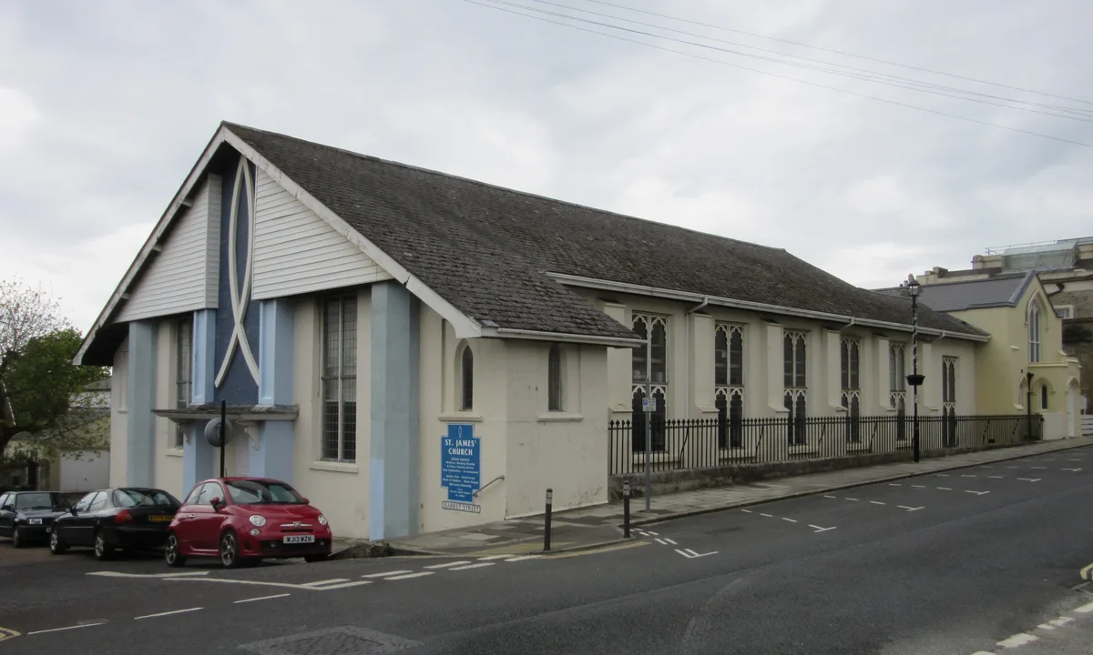
St. James' Church, Ryde
Historic churches · 0.3 km
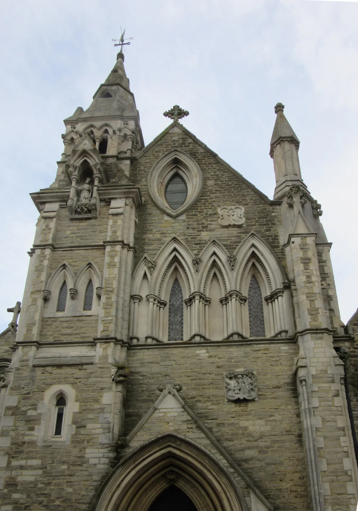
St. Mary's Church, Ryde
Historic churches · 0.3 km

Dorset House Hotel
Hotels · 0.3 km
Nearby
📷 5Theatres · South East England
Theatre Royal, Ryde
Theatre Royal, Ryde — a cinema heritage in england-south-east, United Kingdom.
📷 2Historic pubs · South East England
The Castle Hotel
The Castle Hotel in England South East, United Kingdom.
📷 5Museums · South East England
St Thomas Church (Heritage Centre)
St Thomas Church (Heritage Centre) — a museum in england-south-east, United Kingdom.
📷 5📷 7📷 5Where to eat & stay near Suffolk Towers
Places to stay
📷 7📷 5Hotels · South East England
Dorset House Hotel
Dorset House Hotel — a hotel in england south east.
 📷 5
📷 5Hostels · South East England
Salvation Army Lifehouse
Salvation Army Lifehouse — a hostel in england south east.
 📷 5
📷 5Campsites · South East England
Whitefield Forest Campsite
Whitefield Forest Campsite — a campsite in england south east.
📷 5Campsites · South East England
Beaper Farm Campsite
Beaper Farm Campsite — a campsite in england south east.

Caravan parks · South East England
Kite Hill Farm Caravan & Camping Site
Kite Hill Farm Caravan & Camping Site — a caravan park in england south east.
Places to eat & drink
📷 2Historic pubs · South East England
The Castle Hotel
The Castle Hotel in England South East, United Kingdom.
 📷 7
📷 7Historic pubs · South East England
Wellington Tavern
Wellington Tavern in England South East, United Kingdom.
 📷 7
📷 7Historic pubs · South East England
The Swans Nest
The Swans Nest in England South East, United Kingdom.
 📷 5
📷 5Historic pubs · South East England
The Royal Arms Public House
The Royal Arms Public House in England South East, United Kingdom.
 📷 5
📷 5Historic pubs · South East England
Junction Tavern
Junction Tavern in England South East, United Kingdom.
 📷 5
📷 5Historic pubs · South East England
Jubilee Tavern
Jubilee Tavern in England South East, United Kingdom.
More memorials in this region
 📷 5
📷 5Memorials & monuments · South East England
Air Forces Memorial
Air Forces Memorial is a memorial in the United Kingdom.
 📷 5
📷 5Memorials & monuments · South East England
All Saints Church
All Saints Church is a memorial in the United Kingdom.
 📷 5
📷 5Memorials & monuments · South East England
Bevans War Memorial
Bevans War Memorial is a memorial in the United Kingdom.
.jpg?width=1200) 📷 5
📷 5Memorials & monuments · South East England
Cumberland Obelisk
Cumberland Obelisk is a memorial in the United Kingdom.
Frequently asked questions
- Where is Suffolk Towers?
- Suffolk Towers is in South-East England, United Kingdom (postcode PO33 2JF), in the parish of Ryde.
- What is Suffolk Towers?
- Suffolk Towers — Grade II listed building-listed memorial in england-south-east, United Kingdom.
- How do I get to Suffolk Towers?
- The nearest railway station is Ryde Esplanade, about 0.4 km away. Drivers can use postcode PO33 2JF.
- Is Suffolk Towers a listed building?
- Suffolk Towers is officially recognised as Grade II listed building listed.
- Is Suffolk Towers a protected site?
- Yes — Suffolk Towers is part of the Ryde Sands and Wootton Creek SSSI Site of Special Scientific Interest and the Isle Of Wight National Landscape (AONB).
- Is Suffolk Towers free to visit?
- Yes, Suffolk Towers is free to enter.
- How do I get to Suffolk Towers?
- The nearest railway station is Ryde Esplanade, about 0.4 km away. Drivers can navigate to postcode PO33 2JF.