
Castles · South East England
Ryde
In or near Binstead.
Ryde is a seaside town and civil parish on the north-east coast of the Isle of Wight. The parish area had a population of 24,096 according to the 2021 Census. Its growth as a seaside resort came after

Basher Eyre — CC BY-SA 2.0 via Wikimedia Commons licence
_-_geograph.org.uk_-_2477304.jpg)
Plan your visit
- Typical visit
- 1.5 h–3 h
- Nearest railway station
- Ryde St John's Road · 0.5 km
- Family-friendly
- Limited wheelchair access
Getting there & planning your visit
To visit Ryde Castle, the nearest railway station is Ryde St John's Road, which is 0.5 km away. The postcode for navigation is PO33 2HY. Please note that wheelchair accessibility is limited.
About
Ryde is a seaside town and civil parish on the north-east coast of the Isle of Wight. The parish area had a population of 24,096 according to the 2021 Census. Its growth as a seaside resort came after the villages of Upper Ryde and Lower Ryde were merged in the 19th century, as can still be seen in the town's central and seafront architecture. The resort's expansive sands are revealed at low tide. Their width means the regular ferry service to the mainland requires a long listed pier – the fourth longest in the United Kingdom, and the oldest surviving.
Photo gallery
See it from the streetimagery from 2019
Imagery © Mapillary contributors, CC BY-SA 4.0
Protected designations
- Site of Special Scientific Interest: Ryde Sands and Wootton Creek SSSI
- Area of Outstanding Natural Beauty: Isle Of Wight
- Ramsar wetland: Solent & Southampton Water
Designations sourced from Natural England open data under OGL v3.
From the Wikipedia article
Ryde is a seaside town and civil parish on the north-east coast of the Isle of Wight. The parish area had a population of 24,096 according to the 2021 Census. Its growth as a seaside resort came after the villages of Upper Ryde and Lower Ryde were merged in the 19th century, as can still be seen in the town's central and seafront architecture. The resort's expansive sands are revealed at low tide. Their width means the regular ferry service to the mainland requires a long listed pier – the fourth longest in the United Kingdom, and the oldest surviving.
Excerpt from Wikipedia under CC BY-SA 4.0. See the source article linked in Sources below.
Background
History
The first mentions of Ryde were in 1300 as a fishing village along the coast. In 1377, most of it was burnt down and destroyed during the French invasion. In 1811, the population of Ryde was 1,601. Up until the pier was opened in 1814, ferry passengers landing at low tide were brought almost half a mile into the shore by horse and cart.
Architecture
]] The twin church spires visible from the sea belong to All Saints' (the taller) and Holy Trinity churches. All Saints' Church is located in Queens Road on a road junction known as Five Ways. It was designed by George Gilbert Scott and completed in 1872. The spire is 54 m tall. Holy Trinity Church is in Dover Street. It was designed by Thomas Hellyer and completed in 1845. Holy Trinity Church closed in January 2014 and the building became the Aspire Ryde community centre. St James' is a further Church of England church in the centre of Ryde, on Lind Street. It was constructed in 1827 as a proprietary chapel and continues to be active, with services at 10:30am and 6:30pm each Sunday and a…
Sourced from Wikipedia under CC BY-SA 4.0.
- Coordinates
- 50.7271, -1.1618
- District
- Isle of Wight
- Parish
- Ryde
- Postcode
- PO33 2HY
- Parliamentary constituency
- Isle of Wight East
- Nearest railway station
- Ryde St John's Road — 0.5 km
Sources
- wikipedia: Ryde (CC BY-SA 4.0)
Other places nearby
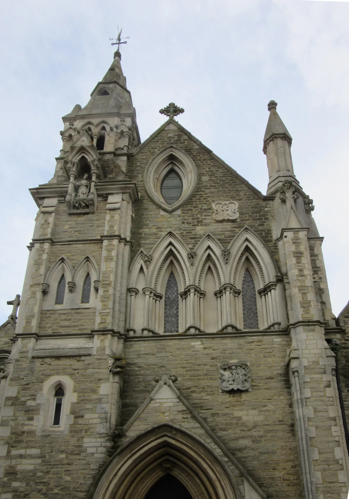
St. Mary's Church, Ryde
Historic churches · 0.1 km

Commodore Cinema
Cinemas · 0.1 km

The Castle Hotel
Historic pubs · 0.2 km

The Swans Nest
Historic pubs · 0.2 km

Salvation Army Lifehouse
Hostels · 0.2 km

Suffolk Towers
Memorials & monuments · 0.2 km
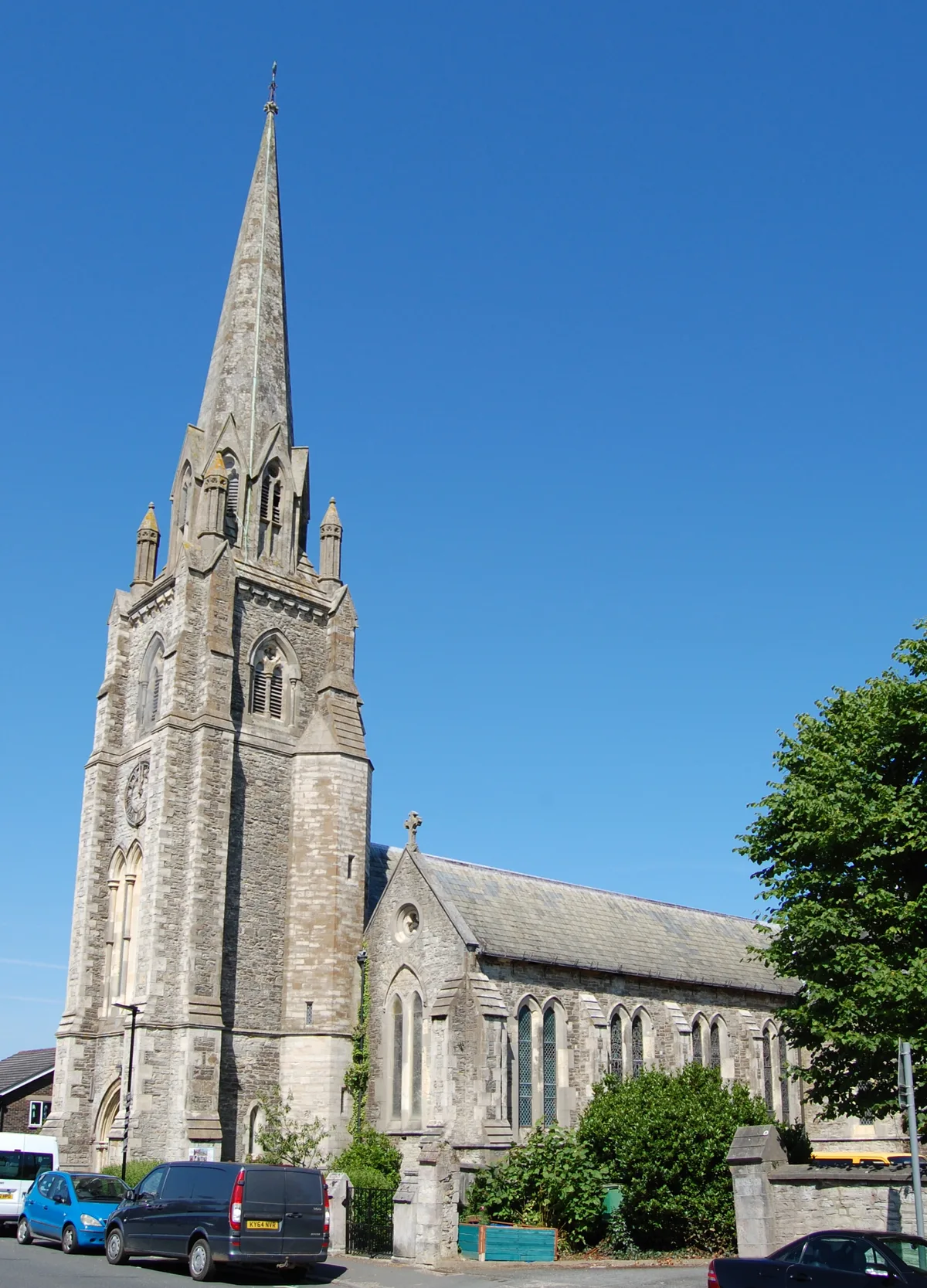
Holy Trinity Church, Ryde
Historic churches · 0.3 km

Theatre Royal, Ryde
Theatres · 0.3 km

Re:Box
Galleries · 0.4 km
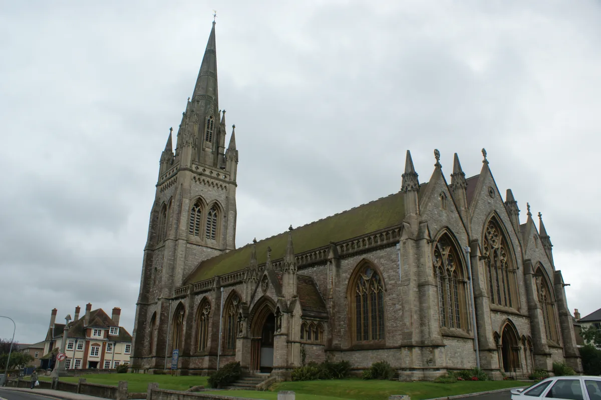
All Saints' Church, Ryde
Historic churches · 0.4 km

Ryde School with Upper Chine
Natural landmarks · 0.4 km

Ryde Theatre and Town Hall
Theatres · 0.4 km
Nearby
📷 5Historic churches · South East England
St. Mary's Church, Ryde
St. Mary's Church, Ryde — church in Ryde, Isle of Wight, England, UK.
📷 5📷 2Historic pubs · South East England
The Castle Hotel
The Castle Hotel in England South East, United Kingdom.
📷 7Historic pubs · South East England
The Swans Nest
The Swans Nest in England South East, United Kingdom.
📷 5Hostels · South East England
Salvation Army Lifehouse
Salvation Army Lifehouse — a hostel in england south east.
📷 5Memorials & monuments · South East England
Suffolk Towers
Suffolk Towers — Grade II listed building-listed memorial in england-south-east, United Kingdom.
Where to eat & stay near Ryde
Places to stay
📷 5Hostels · South East England
Salvation Army Lifehouse
Salvation Army Lifehouse — a hostel in england south east.
 📷 5
📷 5Hotels · South East England
Dorset House Hotel
Dorset House Hotel — a hotel in england south east.
 📷 7
📷 7 📷 5
📷 5Campsites · South East England
Whitefield Forest Campsite
Whitefield Forest Campsite — a campsite in england south east.
📷 5Campsites · South East England
Beaper Farm Campsite
Beaper Farm Campsite — a campsite in england south east.

Caravan parks · South East England
Kite Hill Farm Caravan & Camping Site
Kite Hill Farm Caravan & Camping Site — a caravan park in england south east.
Places to eat & drink
📷 2Historic pubs · South East England
The Castle Hotel
The Castle Hotel in England South East, United Kingdom.
📷 7Historic pubs · South East England
The Swans Nest
The Swans Nest in England South East, United Kingdom.
 📷 7
📷 7Historic pubs · South East England
Wellington Tavern
Wellington Tavern in England South East, United Kingdom.
 📷 5
📷 5Historic pubs · South East England
The Royal Arms Public House
The Royal Arms Public House in England South East, United Kingdom.
 📷 5
📷 5Historic pubs · South East England
Junction Tavern
Junction Tavern in England South East, United Kingdom.
 📷 5
📷 5Historic pubs · South East England
Jubilee Tavern
Jubilee Tavern in England South East, United Kingdom.
More castles in this region
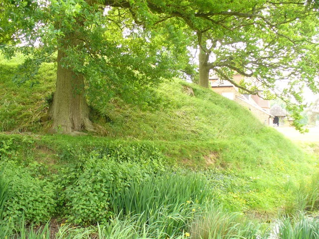 📷 5
📷 5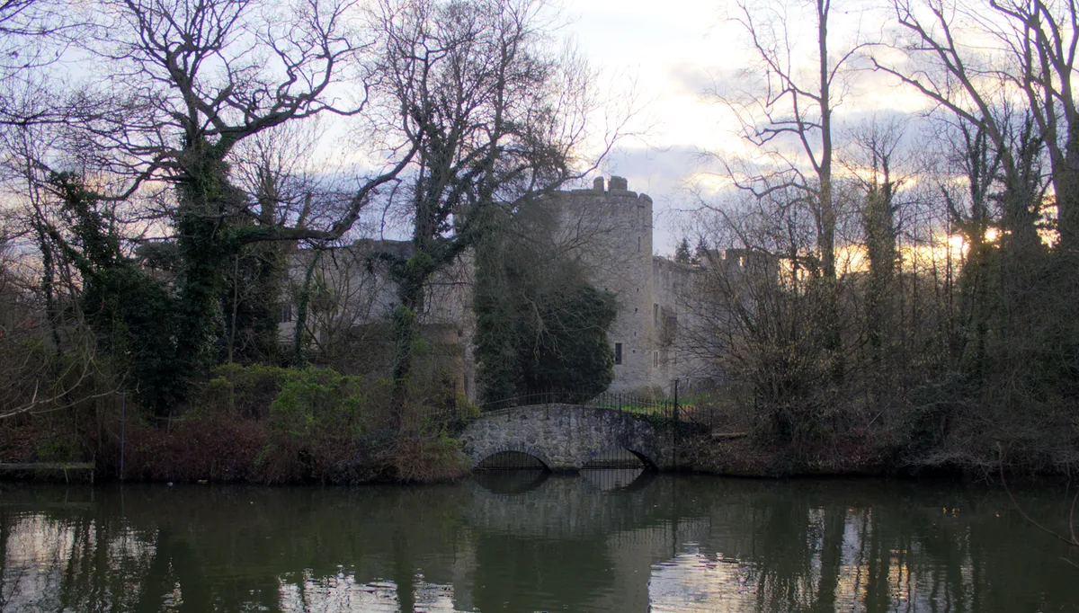 📷 5
📷 5Castles · South East England
Allington Castle
Allington Castle — stone-built moated castle in Allington, England.
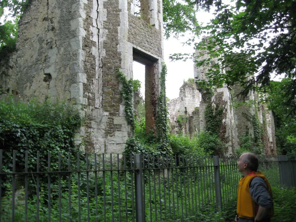 📷 5
📷 5Castles · South East England
Betchworth Castle
Betchworth Castle — castle in Brockham, Mole Valley, Surrey, England, UK.
 📷 5
📷 5Castles · South East England
Bletchingley Castle
Bletchingley Castle — castle in Surrey, England, UK.
Frequently asked questions
- Where is Ryde?
- Ryde is in South-East England, United Kingdom (postcode PO33 2HY), in the parish of Ryde.
- What is Ryde?
- Ryde is a seaside town and civil parish on the north-east coast of the Isle of Wight. The parish area had a population of 24,096 according to the 2021 Census. Its growth as a seaside resort came after
- How do I get to Ryde?
- The nearest railway station is Ryde St John's Road, about 0.5 km away. Drivers can use postcode PO33 2HY.
- Is Ryde a protected site?
- Yes — Ryde is part of the Ryde Sands and Wootton Creek SSSI Site of Special Scientific Interest and the Isle Of Wight National Landscape (AONB).
- Does Ryde charge admission?
- Ryde typically charges admission. Check the official site for current ticket prices and opening hours.
- How do I get to Ryde?
- The nearest railway station is Ryde St John's Road, about 0.5 km away. Drivers can navigate to postcode PO33 2HY.