
Historic churches · South East England
St. Mary's Church, Ryde
In or near Binstead.
St. Mary's Church, Ryde — church in Ryde, Isle of Wight, England, UK.

Wikimedia Commons contributors — see linked file page for photographer and licence licence
_(3).jpg)
Plan your visit
- Typical visit
- 30 min–1 h
- Nearest railway station
- Ryde St John's Road · 0.5 km
- Free entry
Getting there & planning your visit
St. Mary's Church in Ryde is located at postcode PO33 2RG and can be reached from the nearest railway station, Ryde St John's Road, which is 0.5 km away. Entry to the church is free.
About
St. Mary's Church, Ryde is a parish church in South-East England. Officially recognised as Grade II listed building. The site is within the Isle Of Wight National Landscape (AONB), and is a designated Site of Special Scientific Interest. It sits within the Isle of Wight East parliamentary constituency. The nearest railway station is Ryde St John's Road, about 0.5 km away. Postcode area PO33.
Photo gallery
See it from the streetimagery from 2020
Imagery © Mapillary contributors, CC BY-SA 4.0
Heritage listing
Details Roman Catholic church, built between 1844 and1846, designed by J A Hansom, funded by the Countess of Clare, with a contemporary attached presbytery and later extensions, including part of the attached convent school, built between 1883 and 1884, designed by J S Hansom. MATERIALS: the CHURCH and PRESBYTERY are built of local coursed ragstone, with mostly Portland-stone dressing, and later brick additions; the roofs are mainly covered in clay tiles. The late-C19 CONVENT SCHOOL BUILDINGS are mostly ragstone and brick. PLAN: the CHURCH is orientated west to east and consists of an aisled nave (west), sanctuary (east) Shrine Chapel (south), and (north) a sacristy, first-floor founders private chapel, and Sacred Heart Chapel. There is also a porch and narthex (north-west). To the east is a courtyard bordered by linking ranges (north and south) and the PRESBYTERY (east) on a triangular plot. To the north is another courtyard surrounded by part of the late-C19 CONVENT SCHOOL BUILDINGS. EXTERIOR: the gabled west front of the CHURCH faces on the High Street and has an asymmetrical design. At the centre is a deeply recessed entrance porch topped by a carved triple two-point arch and within a cable porch. The porch is partially cut off by a square tower which diminishes to a slender upper stage and a short spire. Within the tower are lancet windows, a clock on the north side, and a statue of the Virgin Mary in a niche beneath a heavy-gabled canopy with ogee arch. Above the porch and to the left of the tower are three pointed-arch lancets in moulded frames, and the elevation is topped by a vesica. The right side of the gable has a clasped column topped by a tapering pinnacle. The gable end of the south aisle includes a moulded triple-arch arcade, a cusped triangular window a
From the Historic England List Entry under OGL v3.
Protected designations
- Site of Special Scientific Interest: Ryde Sands and Wootton Creek SSSI
- Area of Outstanding Natural Beauty: Isle Of Wight
- Ramsar wetland: Solent & Southampton Water
Designations sourced from Natural England open data under OGL v3.
Place summary
St. Mary's Church is located in Ryde, South-East England. This Grade II listed building is part of the parish of Ryde and is situated within the designated areas of the Isle of Wight AONB, Ryde Sands and Wootton Creek SSSI, and the Solent & Southampton Water RAMSAR site.
AI-generated from the structured facts on this page (operator, designation, listing, era). Not a substitute for visiting.
- Coordinates
- 50.7267, -1.1625
- District
- Isle of Wight
- Parish
- Ryde
- Postcode
- PO33 2RG
- Parliamentary constituency
- Isle of Wight East
- Established
- 1844
- Nearest railway station
- Ryde St John's Road — 0.5 km
Sources
- wikidata: Q7590185 (CC0)
- commons: St Mary's RC Church, High Street, Ryde (May 2016) (3).jpg (CC BY-SA 4.0)
Other places nearby

Ryde
Castles · 0.1 km

Salvation Army Lifehouse
Hostels · 0.1 km

Commodore Cinema
Cinemas · 0.1 km

The Castle Hotel
Historic pubs · 0.2 km

The Swans Nest
Historic pubs · 0.2 km

Suffolk Towers
Memorials & monuments · 0.3 km
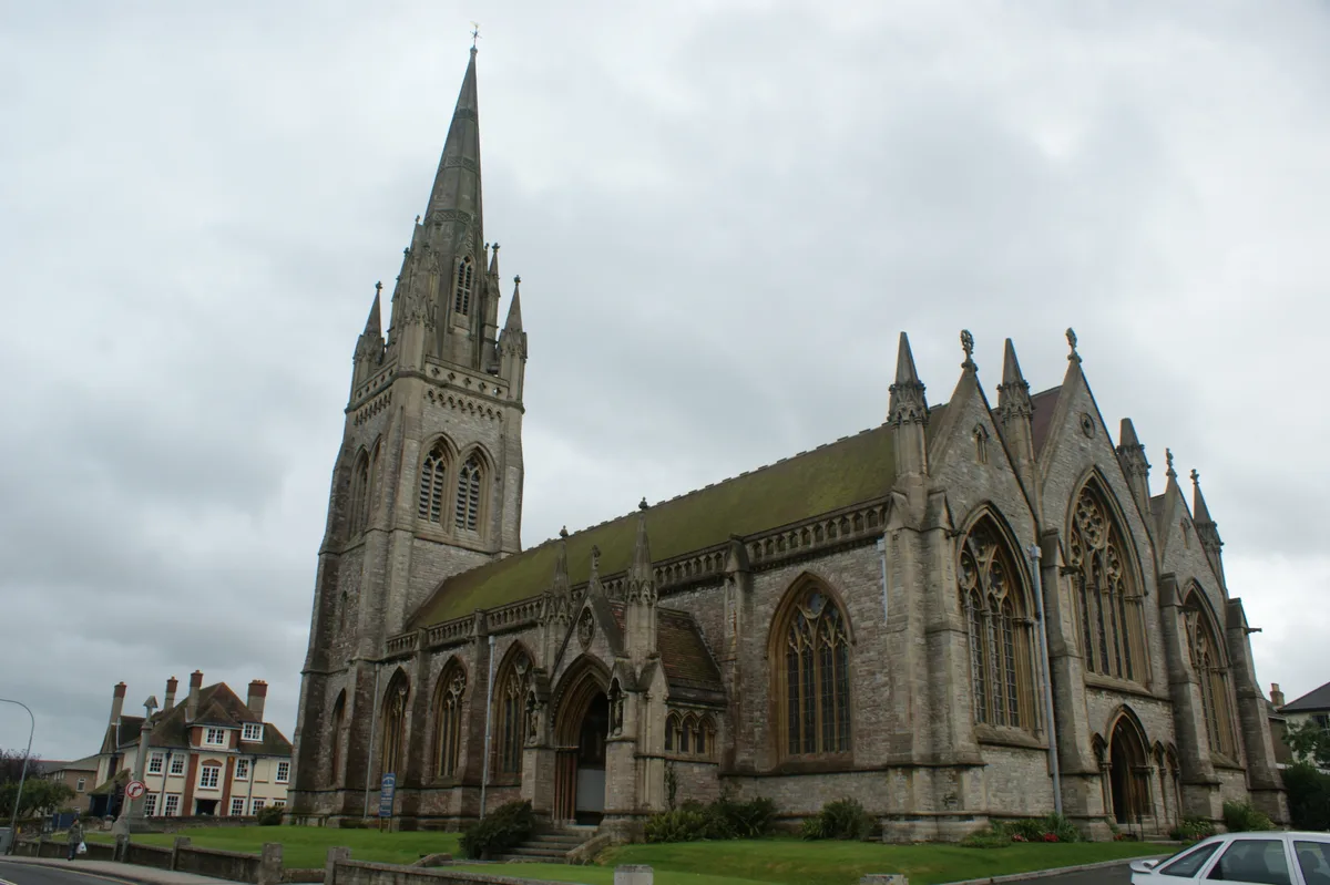
All Saints' Church, Ryde
Historic churches · 0.3 km

Ryde School with Upper Chine
Natural landmarks · 0.4 km
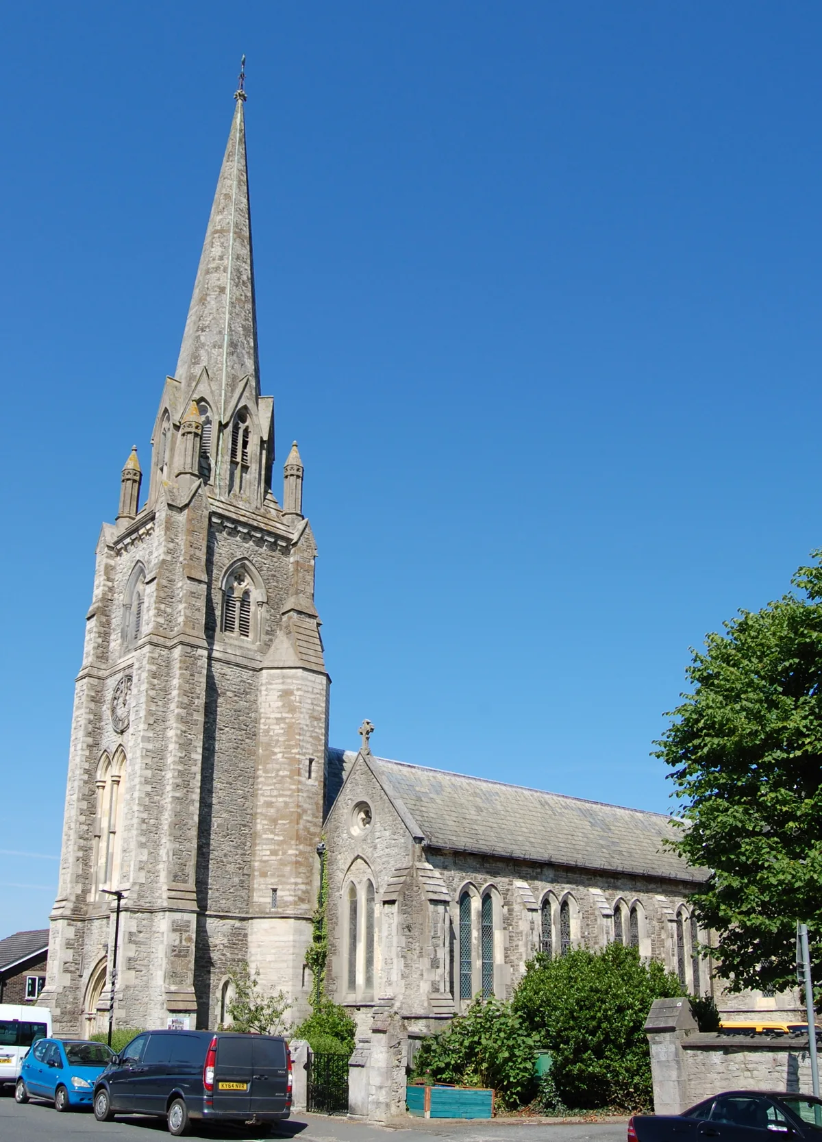
Holy Trinity Church, Ryde
Historic churches · 0.4 km

Theatre Royal, Ryde
Theatres · 0.4 km

Re:Box
Galleries · 0.4 km

Ryde Theatre and Town Hall
Theatres · 0.4 km
Nearby
📷 5Castles · South East England
Ryde
Ryde is a seaside town and civil parish on the north-east coast of the Isle of Wight. The parish area had a population of 24,096 according to the 2021 Census. Its growth as a seaside resort came after
📷 5Hostels · South East England
Salvation Army Lifehouse
Salvation Army Lifehouse — a hostel in england south east.
📷 5Cinemas · South East England
Commodore Cinema
Commodore Cinema — a cinema in england south east.
📷 2Historic pubs · South East England
The Castle Hotel
The Castle Hotel in England South East, United Kingdom.
📷 7Historic pubs · South East England
The Swans Nest
The Swans Nest in England South East, United Kingdom.
📷 5Memorials & monuments · South East England
Suffolk Towers
Suffolk Towers — Grade II listed building-listed memorial in england-south-east, United Kingdom.
Where to eat & stay near St. Mary's Church, Ryde
Places to stay
📷 5Hostels · South East England
Salvation Army Lifehouse
Salvation Army Lifehouse — a hostel in england south east.
 📷 5
📷 5Hotels · South East England
Dorset House Hotel
Dorset House Hotel — a hotel in england south east.
 📷 7
📷 7 📷 5
📷 5Campsites · South East England
Whitefield Forest Campsite
Whitefield Forest Campsite — a campsite in england south east.
📷 5Campsites · South East England
Beaper Farm Campsite
Beaper Farm Campsite — a campsite in england south east.
 📷 5
📷 5Caravan parks · South East England
Kite Hill Farm Caravan & Camping Site
Kite Hill Farm Caravan & Camping Site — a caravan park in england south east.
Places to eat & drink
📷 2Historic pubs · South East England
The Castle Hotel
The Castle Hotel in England South East, United Kingdom.
📷 7Historic pubs · South East England
The Swans Nest
The Swans Nest in England South East, United Kingdom.
 📷 7
📷 7Historic pubs · South East England
Wellington Tavern
Wellington Tavern in England South East, United Kingdom.
 📷 5
📷 5Historic pubs · South East England
The Royal Arms Public House
The Royal Arms Public House in England South East, United Kingdom.
 📷 5
📷 5Historic pubs · South East England
Junction Tavern
Junction Tavern in England South East, United Kingdom.
 📷 5
📷 5Historic pubs · South East England
Jubilee Tavern
Jubilee Tavern in England South East, United Kingdom.
More places in this region
 📷 5
📷 5Historic churches · South East England
All Saints Church, Frindsbury
All Saints Church, Frindsbury — church in Medway, UK.
 📷 5
📷 5Historic churches · South East England
All Saints Church, Maidstone
All Saints Church, Maidstone — parish church associated with the Archbishop's Palace, Maidstone, Kent, England, UK.
 📷 5
📷 5Historic churches · South East England
All Saints Church, West Farleigh
All Saints Church, West Farleigh — Grade I listed church in West Farleigh, Maidstone, Kent, England, UK.
 📷 5
📷 5Historic churches · South East England
All Souls' Church, Sutton Green
All Souls' Church, Sutton Green — church in Guildford, England.
Frequently asked questions
- Where is St. Mary's Church, Ryde?
- St. Mary's Church, Ryde is in South-East England, United Kingdom (postcode PO33 2RG), in the parish of Ryde.
- What is St. Mary's Church, Ryde?
- St. Mary's Church, Ryde — church in Ryde, Isle of Wight, England, UK.
- How do I get to St. Mary's Church, Ryde?
- The nearest railway station is Ryde St John's Road, about 0.5 km away. The nearest town is Binstead. Drivers can use postcode PO33 2RG.
- When was St. Mary's Church, Ryde built?
- Built or established in 1844.
- Is St. Mary's Church, Ryde a listed building?
- St. Mary's Church, Ryde is officially recognised as Grade II listed building listed.
- Is St. Mary's Church, Ryde a protected site?
- Yes — St. Mary's Church, Ryde is part of the Ryde Sands and Wootton Creek SSSI Site of Special Scientific Interest and the Isle Of Wight National Landscape (AONB).
- Is St. Mary's Church, Ryde free to visit?
- Yes, St. Mary's Church, Ryde is free to enter.
- How do I get to St. Mary's Church, Ryde?
- The nearest railway station is Ryde St John's Road, about 0.5 km away. Drivers can navigate to postcode PO33 2RG.