Abbeys & priories · Yorkshire & the Humber
Studley Royal Park
In or near Ripon.
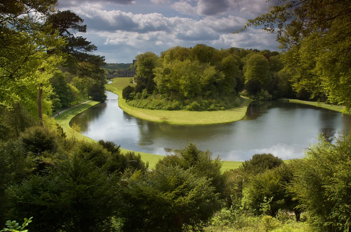
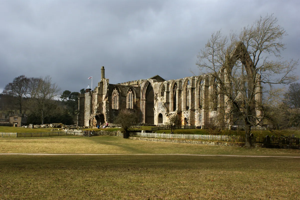
Studley Royal Park is an estate in North Yorkshire, England. The site has an area of 800 acres (323 ha) and includes an 18th-century landscaped garden; the ruins of Fountains Abbey; Fountains Hall, a

Chris Gunns — CC BY-SA 2.0 via Wikimedia Commons licence
Plan your visit
- Typical visit
- 45 min–1.5 h
- Family-friendly
- Limited wheelchair access
Getting there & planning your visit
Studley Royal Park is located in North Yorkshire, with the postcode HG4 3DY. Entry details are not provided, but accessibility is limited for wheelchair users.
About
Studley Royal Park is an estate in North Yorkshire, England. The site has an area of 800 acres (323 ha) and includes an 18th-century landscaped garden; the ruins of Fountains Abbey; Fountains Hall, a Jacobean mansion; and the Victorian St Mary's church, designed by William Burges. Studley Royal House, around which the park and gardens were designed, burned down in 1946. The park, as Studley Royal Park including the ruins of Fountains Abbey, has been designated a World Heritage Site. It has also been designated a grade I listed park and garden by Historic England, and various structures within it are individually listed. After the Dissolution of the Monasteries, the Fountains estate was owned by the Gresham, Proctor, and Messenger families. At the same time, the adjacent Studley estate was separately held by the Mallorie (or Mallory) and then Aislabie families, after the marriage of Mary Mallory and George Aislabie. The estates were combined on 22 December 1767, when William Aislabie purchased the Fountains estate from John Messenger. In 1966, the property came into public ownership after its purchase by West Riding County Council. In 1983, it was acquired by the National Trust. The gardens and park reflect every stage in the evolution of English garden fashion, from the late 17th century to the 1780s and beyond. Most unusually, both John and William embraced new garden fashions by extending their designed landscape rather than replacing and remaking outmoded parts. As a…
Photo gallery
Protected designations
- Area of Outstanding Natural Beauty: Nidderdale
Designations sourced from Natural England open data under OGL v3.
From the Wikipedia article
Studley Royal Park is an estate in North Yorkshire, England. The site has an area of 800 acres (323 ha) and includes an 18th-century landscaped garden; the ruins of Fountains Abbey; Fountains Hall, a Jacobean mansion; and the Victorian St Mary's church, designed by William Burges. Studley Royal House, around which the park and gardens were designed, burned down in 1946. The park, as Studley Royal Park including the ruins of Fountains Abbey, has been designated a World Heritage Site. It has also been designated a grade I listed park and garden by Historic England, and various structures within it are individually listed. After the Dissolution of the Monasteries, the Fountains estate was owned by the Gresham, Proctor, and Messenger families. At the same time, the adjacent Studley estate was separately held by the Mallorie (or Mallory) and then Aislabie families, after the marriage of Mary Mallory and George Aislabie. The estates were combined on 22 December 1767, when William Aislabie purchased the Fountains estate from John Messenger. In 1966, the property came into public ownership after its purchase by West Riding County Council. In 1983, it was acquired by the National Trust. The gardens and park reflect every stage in the evolution of English garden fashion, from the late 17th century to the 1780s and beyond. Most unusually, both John and William embraced new garden fashions by extending their designed landscape rather than replacing and remaking outmoded parts. As a result, the cumulative whole is a catalogue of significant landscaping styles.
Excerpt from Wikipedia under CC BY-SA 4.0. See the source article linked in Sources below.
Background
History
Studley Royal Park is an estate in North Yorkshire, England. The land broadly slopes and east-facing views are a feature of its landscape. The River Skell runs through the site, cutting through layers of Upper Carboniferous sandstone and Permian Magnesian limestone. The park was formed through the aggregation of the former land-holdings of Fountains Abbey, which were purchased by the Gresham family after the Dissolution, and the estate of Studley Royal. Whilst the prehistoric origins of the land upon which Studley Royal Park now stands are under-researched, there is evidence for settlement in the area. An excavated flint assemblage from the park demonstrates the presence of people working…
Description
Documentary evidence suggests that the Banqueting House was being completed in 1731, and is described in the estate accounts as 'the new building'. The structure had several phases of alteration after construction, and other documents refer to it as 'the Greenhouse'. In front of the façade a deep coffin-shaped lawn was introduced, who sightlines connected the building and the Rotondo. Above the Banqueting House, amongst the trees, is an oval platform, which is likely to be the Dial Lawn, which is described in accounts in 1730s. The building is constructed of stone with a hipped Westmorland slate roof, one storey and three bays. In the centre is a doorway with a round-arched fanlight,…
Sourced from Wikipedia under CC BY-SA 4.0.
- Coordinates
- 54.1161, -1.5731
- District
- North Yorkshire
- Parish
- Lindrick with Studley Royal and Fountains
- Postcode
- HG4 3DY
- Parliamentary constituency
- Skipton and Ripon
- Official site
- www.nationaltrust.org.uk
Sources
- wikipedia: Studley Royal Park (CC BY-SA 4.0)
Other places nearby
Studley Royal Park including the Ruins of Fountains Abbey
UNESCO World Heritage · 0.0 km

Octagon Tower
Follies · 0.1 km

The Wrestlers
Public art & sculpture · 0.1 km

Canal Approximately 500 Metres Long, With The Drum Falls And Weir Inlet
Canals · 0.1 km
_(geograph_7029265).jpg?width=1200)
Neptune
Public art & sculpture · 0.2 km

Temple of Piety
Follies · 0.2 km
_(geograph_7029264).jpg?width=1200)
Temple of Fame
Follies · 0.4 km
_(geograph_7029260).jpg?width=1200)
Quebec Monument
Memorials & monuments · 0.4 km

Hercules wrestling Anteus
Public art & sculpture · 0.4 km

Rustic Bridge Over River Skell Approximately 150 Metres East Of Outlet From Lake
Historic bridges · 0.4 km

Rustic Bridge At South End Of The Canal, With Culvert And Arch To Reservoir
Historic bridges · 0.4 km

Rustic Bridge Over River Skell Approximately 300 Metres South-East Of Outlet From The Lake, With Ford And Weir Approximately 2 Metres To West
Historic bridges · 0.5 km
Nearby
📷 3UNESCO World Heritage · Yorkshire & the Humber
Studley Royal Park including the Ruins of Fountains Abbey
Studley Royal Park including the Ruins of Fountains Abbey — group of structures in North Yorkshire, England, UK.
★ Iconic📷 3📷 3Public art & sculpture · Yorkshire & the Humber
The Wrestlers
The Wrestlers — Public artwork (statue).
📷 3Canals · Yorkshire & the Humber
Canal Approximately 500 Metres Long, With The Drum Falls And Weir Inlet
Canal Approximately 500 Metres Long, With The Drum Falls And Weir Inlet — Grade I listed building in Lindrick with Studley Royal and Fountains, Harrogate, North Yorkshire, England, UK.
📷 3📷 3Where to eat & stay near Studley Royal Park
Places to stay
 📷 5
📷 5Caravan parks · Yorkshire & the Humber
River Laver Holiday Park Ltd.
River Laver Holiday Park Ltd. — a caravan park in england yorkshire.
 📷 5
📷 5Campsites · Yorkshire & the Humber
Clotherholme Farm Campsite
Clotherholme Farm Campsite — a campsite in england yorkshire.
 📷 5
📷 5Campsites · Yorkshire & the Humber
Copper Beech Glade
Copper Beech Glade — a campsite in england yorkshire.
 📷 7
📷 7Hotels · Yorkshire & the Humber
The Old Deanery
The Old Deanery — a hotel in england yorkshire.
 📷 5
📷 5Caravan parks · Yorkshire & the Humber
Ripon - Lockside Caravan Site
Ripon - Lockside Caravan Site — a caravan park in england yorkshire.
 📷 2
📷 2Places to eat & drink
 📷 7
📷 7Historic pubs · Yorkshire & the Humber
Lamb And Flag Public House
Lamb And Flag Public House in England Yorkshire, United Kingdom.
 📷 5
📷 5Cafés · Yorkshire & the Humber
Lula's Café
Lula's Café — a café in england yorkshire.
 📷 5
📷 5Historic pubs · Yorkshire & the Humber
The Unicorn Hotel
The Unicorn Hotel in England Yorkshire, United Kingdom.
 📷 7
📷 7 📷 7
📷 7Historic pubs · Yorkshire & the Humber
Ye Hornblower Tavern
Ye Hornblower Tavern in England Yorkshire, United Kingdom.
 📷 7
📷 7Historic pubs · Yorkshire & the Humber
The Fleece Public House
The Fleece Public House in England Yorkshire, United Kingdom.
More abbeys in this region
 Flagship📷 5
Abbeys & priories · Yorkshire & the Humber
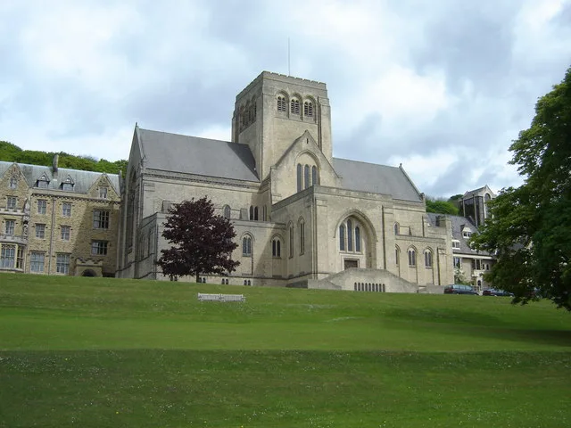
Ampleforth Abbey
Ampleforth Abbey — monastery in North Yorkshire, England.
 📷 5
📷 5Abbeys & priories · Yorkshire & the Humber
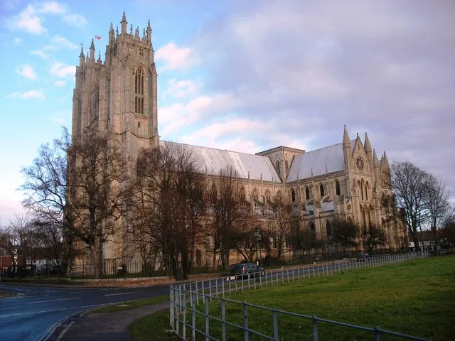
Beverley Minster
Beverley Minster — church in Beverley, East Riding of Yorkshire, England, UK.
 📷 5
📷 5Abbeys & priories · Yorkshire & the Humber
Bolton Abbey
Bolton Abbey — estate in Wharfedale in North Yorkshire, England.
 ★ Iconic📷 3
Abbeys & priories · Yorkshire & the Humber
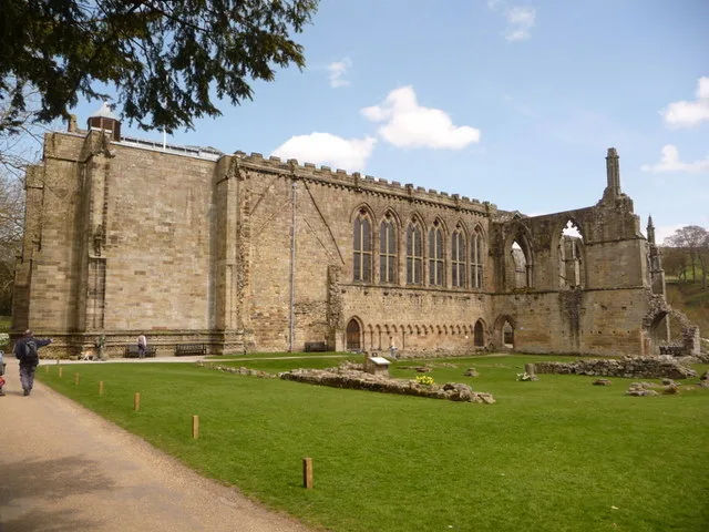
Bolton Priory
Bolton Priory — parish church and former Augustinian priory in North Yorkshire, England, UK.
Frequently asked questions
- Where is Studley Royal Park?
- Studley Royal Park is in Yorkshire, United Kingdom (postcode HG4 3DY), in the parish of Lindrick with Studley Royal and Fountains.
- What is Studley Royal Park?
- Studley Royal Park is an estate in North Yorkshire, England. The site has an area of 800 acres (323 ha) and includes an 18th-century landscaped garden; the ruins of Fountains Abbey; Fountains Hall, a
- How do I get to Studley Royal Park?
- Drivers can use postcode HG4 3DY.
- Is Studley Royal Park a protected site?
- Yes — Studley Royal Park is part of the Nidderdale National Landscape (AONB).
- How do I get to Studley Royal Park?
- Drivers can navigate to postcode HG4 3DY. It sits within the Skipton and Ripon parliamentary constituency.