Mountains & hills · Yorkshire & the Humber
Steeton Moor
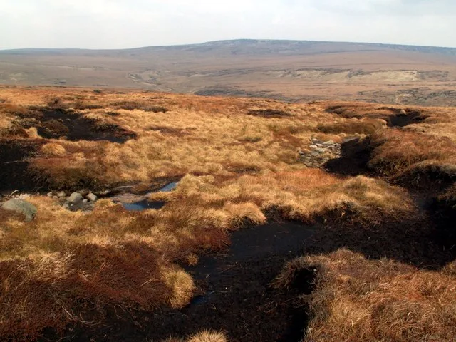
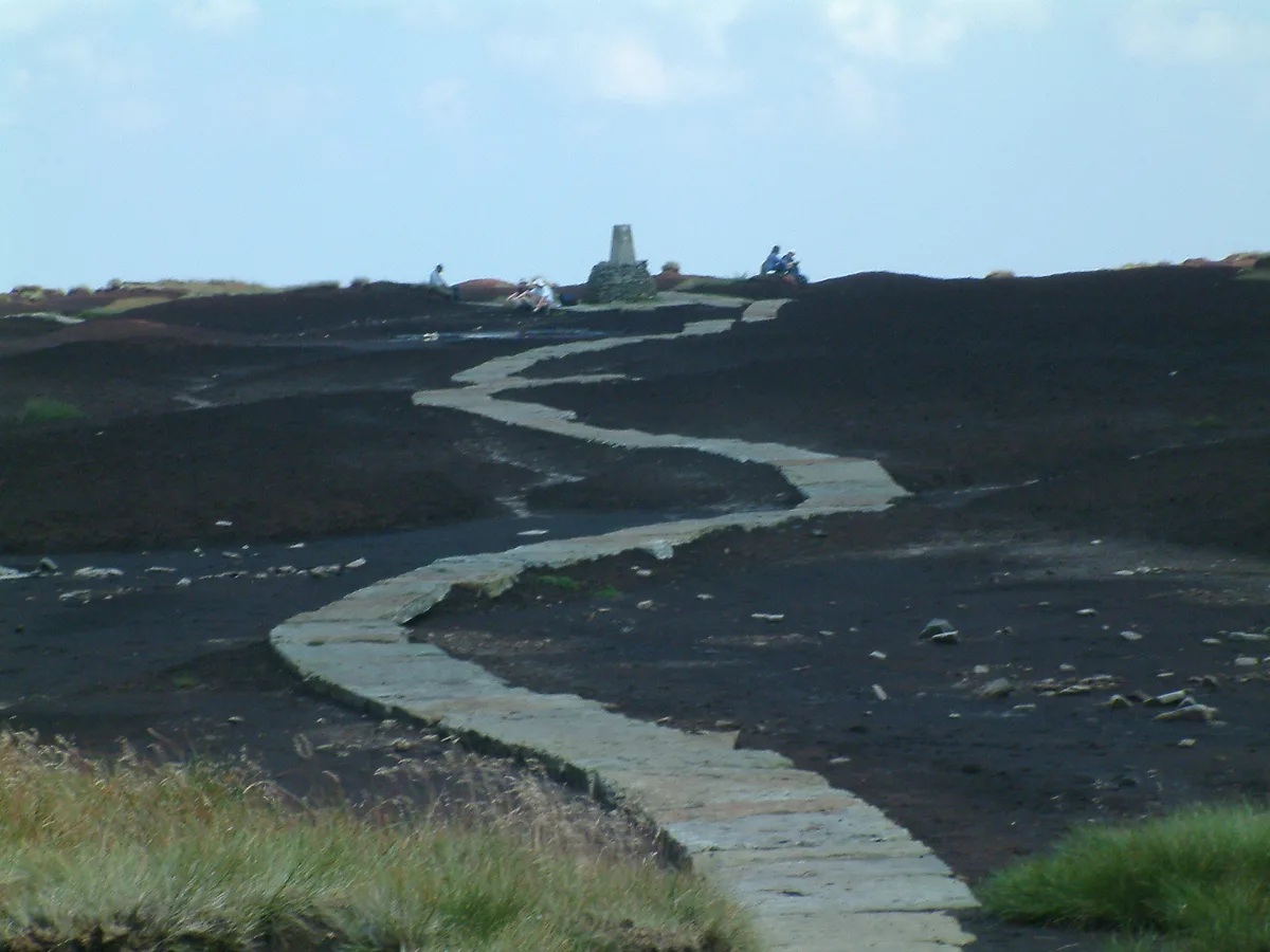
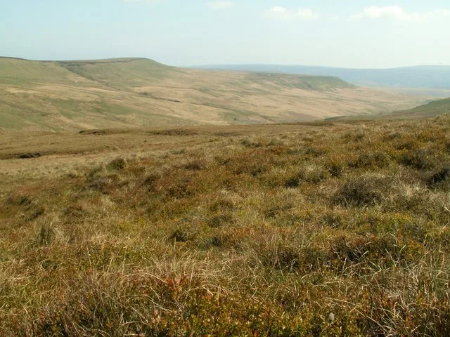
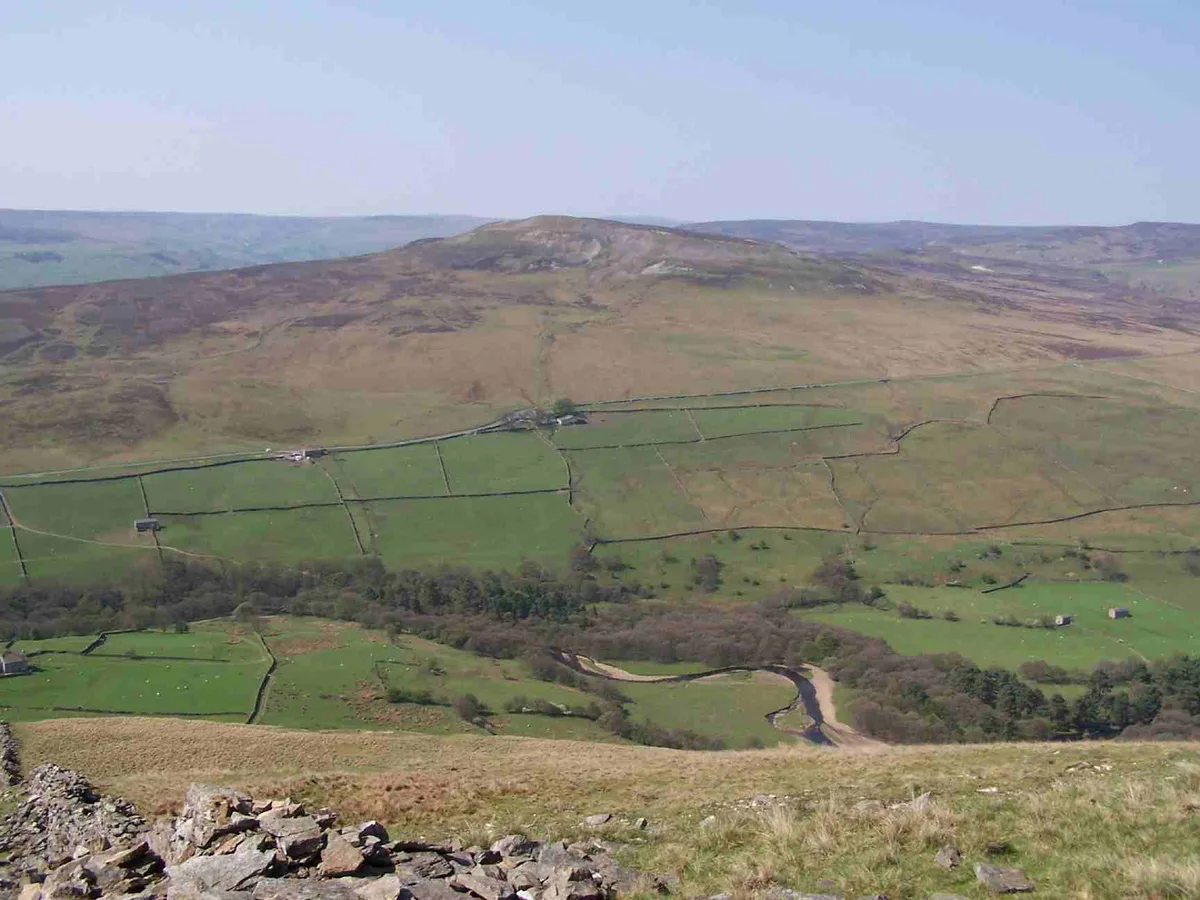
Steeton Moor — a hill or mountain in england yorkshire.

Chris Heaton — CC BY-SA 2.0 via Wikimedia Commons licence
Plan your visit
- Typical visit
- 3 h–8 h
- Best time of year
- Late spring – early autumn (May–Oct)
About
A British hill or mountain, named on Ordnance Survey maps and walked by hill-baggers. Steeton Moor is a named hill or mountain in england yorkshire, recorded in the GeoNames UK gazetteer. British landmarks of this type are typically marked on Ordnance Survey maps and recorded in the national gazetteer for cartographic and navigational reference. Coordinates and feature classification are sourced from the GeoNames open dataset.
Photo gallery
Place summary
Steeton Moor is a mountain located in Yorkshire. This elevated area offers expansive views of the surrounding landscape. It is a popular spot for walkers and nature enthusiasts seeking a quiet outdoor experience. The terrain is varied, providing opportunities for exploration and appreciation of the natural environment.
AI-generated from the structured facts on this page (operator, designation, listing, era). Not a substitute for visiting.
- Coordinates
- 53.8724, -1.9669
Sources
- manual: geonames-12615705 (CC BY 4.0)
Other places nearby
Loading nearby places…
Nearby
 📷 3
📷 3Memorials & monuments · Yorkshire & the Humber
Sutton Stoop
Sutton Stoop — a memorial in england-yorkshire, United Kingdom.
 📷 3
📷 3Memorials & monuments · Yorkshire & the Humber
Pole stoop
Pole stoop — a memorial in england-yorkshire, United Kingdom.
 📷 3
📷 3Historic bridges · Yorkshire & the Humber
Goose Eye Bridge
Goose Eye Bridge — Grade II listed building-listed bridge in england-yorkshire, United Kingdom.
 📷 5
📷 5Villages · Yorkshire & the Humber
Sutton-in-Craven
Sutton-in-Craven — a village in england yorkshire.
 📷 5
📷 5Villages · Yorkshire & the Humber
Steeton
Steeton — a village in england yorkshire.
 📷 5
📷 5Waterfalls · Yorkshire & the Humber
Morkin Pit
Morkin Pit — waterfall in england yorkshire.
Where to eat & stay near Steeton Moor
Places to stay
 📷 5
📷 5Hostels · Yorkshire & the Humber
YHA Howarth
YHA Howarth — a hostel in england yorkshire.
 📷 5
📷 5Campsites · Yorkshire & the Humber
Low Wood Scout Activity Centre
Low Wood Scout Activity Centre — a campsite in england yorkshire.
 📷 5
📷 5Campsites · North West England
Winter House Farm Campsite
Winter House Farm Campsite — a campsite in england north west.
 📷 5
📷 5Caravan parks · Yorkshire & the Humber
Topfield
Topfield — a caravan park in england yorkshire.
 📷 5
📷 5Caravan parks · North West England
Cononley caravan park
Cononley caravan park — a caravan park in england north west.
 📷 5
📷 5Caravan parks · Yorkshire & the Humber
Lower Heights Farm
Lower Heights Farm — a caravan park in england yorkshire.
Places to eat & drink
 📷 5
📷 5Historic pubs · Yorkshire & the Humber
Airedale Heifer Public House And Attached Barn
Airedale Heifer Public House And Attached Barn in England Yorkshire, United Kingdom.
 📷 5
📷 5Historic pubs · North West England
Herders Inn
Herders Inn in England North West, United Kingdom.
 📷 5
📷 5Historic pubs · Yorkshire & the Humber
Old White Horse Inn
Old White Horse Inn in England Yorkshire, United Kingdom.
 📷 5
📷 5Historic pubs · North West England
The Devonshire
The Devonshire in England North West, United Kingdom.
 📷 5
📷 5Historic pubs · Yorkshire & the Humber
The Duke Of York Public House
The Duke Of York Public House in England Yorkshire, United Kingdom.
 📷 5
📷 5Historic pubs · North West England
Royal Shepherd Public House
Royal Shepherd Public House in England North West, United Kingdom.
More mountains in this region
 📷 3
📷 3Mountains & hills · Yorkshire & the Humber
Black Chew Head
Black Chew Head — Named summit at 542 m.
 📷 3
📷 3Mountains & hills · Yorkshire & the Humber
Black Hill
Black Hill — Named summit at 582 m.
 📷 3
📷 3Mountains & hills · Yorkshire & the Humber
Britland Edge Hill
Britland Edge Hill — Named summit at 523 m.
 📷 3
📷 3Mountains & hills · Yorkshire & the Humber
Calver Hill
Calver Hill — Named summit at 493 m.
Frequently asked questions
- Where is Steeton Moor?
- Steeton Moor is in Yorkshire, United Kingdom.
- What is Steeton Moor?
- Steeton Moor — a hill or mountain in england yorkshire.
- How do I get to Steeton Moor?
- Its coordinates are 53.8724°, -1.9669°.