
Islands · South Wales
Steep Holm
Steep Holm — island in the Bristol Channel, United Kingdom.

Wikimedia Commons contributors — see linked file page for photographer and licence licence

Plan your visit
- Typical visit
- 4 h–12 h
- Nearest railway station
- Weston-super-Mare · 9.6 km
- Free entry
- Dog-friendly
About
Steep Holm is a island in the United Kingdom. It covers approximately 20 km². Constructed primarily of limestone. Heritage designation: Site of Special Scientific Interest. Wikidata describes it as: "island in the Bristol Channel, United Kingdom". Coordinates: 51.3397°, -3.1097°.
Photo gallery
Summary from the official site
Steep Holm is a small island in the Bristol Channel, managed by the Kenneth Allsop Memorial Trust. Visitors can explore its diverse wildlife, historical sites including WWII gun emplacements, and enjoy various activities along its walking trails.
Read more on the official property page.
Protected designations
- Site of Special Scientific Interest: Steep Holm SSSI
- Ramsar wetland: Severn Estuary
Designations sourced from Natural England open data under OGL v3.
From the Wikipedia article
Steep Holm (Old English: Ronech and later Steopanreolice) is an English island lying in the Bristol Channel. The island covers 48.87 acres (19.78 ha) at high tide, expanding to 63.26 acres (25.60 ha) at mean low water. At its highest point it is 78 metres (256 ft) above mean sea level. Administratively it forms part of the unitary authority of North Somerset within the ceremonial county of Somerset. Between 1 April 1974 and 1 April 1996 it was administered as part of Avon. Nearby is Flat Holm island, part of Wales. The Carboniferous Limestone island rises to about 200 feet (61 m) and serves as a wind and wave break, sheltering the upper reaches of the Bristol Channel. The island is now uninhabited, with the exception of the wardens. It is protected as a nature reserve and Site of Special Scientific Interest (SSSI) with a large bird population and plants including wild peonies. There was a signal station or watchtower on the island in Roman times, but there may have been human habitation as early as the Iron Age. In the 6th century it was home to St Gildas and to a small Augustinian priory in the 12th and 13th centuries. An inn was built in 1832 and used for holidays in the 19th century. A bird sanctuary was established in 1931 and since 1951 has been leased to charitable trusts. It is now owned by the Kenneth Allsop Memorial Trust. In the 1860s the island was fortified with ten 7-inch rifled muzzle loaders as one of the Palmerston Forts for the coastal defence of the Bristol Channel until it was abandoned in 1898. The infrastructure was reused in World War I and II when Mark VII 6-inch breech-loading guns and searchlights were installed. To enable the movement of materials, soldiers from the Indian Army Service Corps initially used mules and then installed a cable-operated winched switchback railway.
Excerpt from Wikipedia under CC BY-SA 4.0. See the source article linked in Sources below.
- Coordinates
- 51.3397, -3.1097
- Address
- Bristol Channel
- Nearest railway station
- Weston-super-Mare — 9.6 km
- Official site
- www.steepholm.online
Sources
- wikidata: Q2300821 (CC0)
- wikipedia: Steep Holm (CC BY-SA 4.0)
- commons: Stholm2.jpg (CC BY-SA 4.0)
Featured in these 2 guides
Other places nearby
Loading nearby places…
Nearby
 📷 3
📷 3Natural landmarks · South Wales
Barracks Visitor Centre
Barracks Visitor Centre — a natural landmark in wales-south, United Kingdom.
 📷 5
📷 5Mountains & hills · South Wales
Steep Holm
Steep Holm — mountain in wales south. Elevation: 78 m.
 📷 3
📷 3Historic houses · South Wales
Summit Battery
Summit Battery — a historic house in wales-south, United Kingdom.
📷 3Historic houses · South Wales
Split Rock Battery
Split Rock Battery — a historic house in wales-south, United Kingdom.
 📷 3
📷 3Historic houses · South Wales
Laboratory Battery
Laboratory Battery — a historic house in wales-south, United Kingdom.
 📷 3
📷 3Historic houses · South Wales
Cottage Ruin
Cottage Ruin — a historic house in wales-south, United Kingdom.
More places in this region
 Flagship📷 5
Islands · South Wales
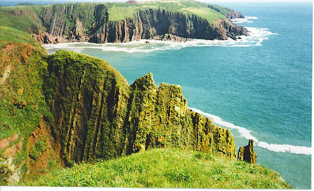
Caldey Island
Caldey Island — small island in Pembrokeshire, Wales, UK.
 Flagship📷 5
Islands · South Wales
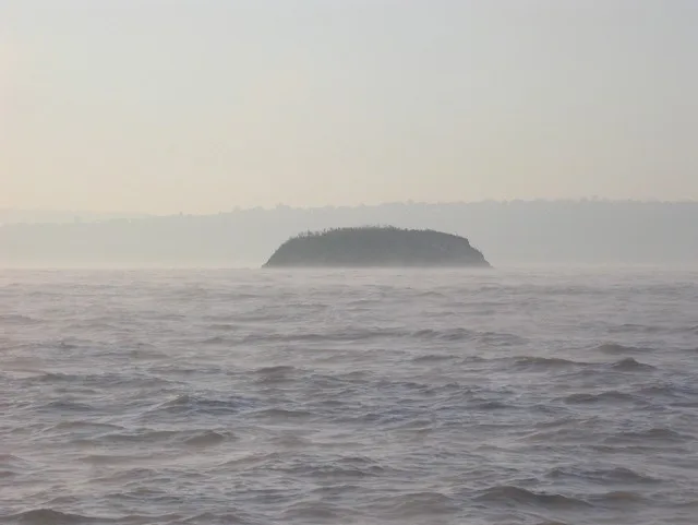
Denny Island
Denny Island — island in the Severn Estuary in Monmouthshire, Wales, United Kingdom.
 📷 5
📷 5Islands · South Wales
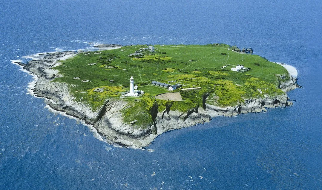
Flat Holm
Flat Holm — island off the coast of Wales.
 Flagship📷 3
Islands · South Wales
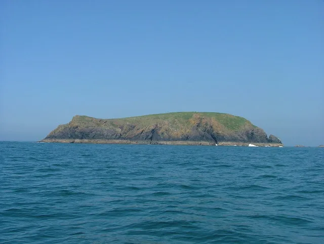
Midland Isle
Midland Isle — island in Pembrokeshire, Wales.
Frequently asked questions
- Where is Steep Holm?
- Steep Holm is in South Wales, United Kingdom.
- What is Steep Holm?
- Steep Holm — island in the Bristol Channel, United Kingdom.
- How do I get to Steep Holm?
- The nearest railway station is Weston-super-Mare, about 9.6 km away. Its coordinates are 51.3397°, -3.1097°.
- Is Steep Holm a listed building?
- Steep Holm is officially recognised as Site of Special Scientific Interest listed.
- Is Steep Holm a protected site?
- Yes — Steep Holm is part of the Steep Holm SSSI Site of Special Scientific Interest and the Severn Estuary Ramsar wetland.
- Is Steep Holm free to visit?
- Yes, Steep Holm is free to enter.