
Islands · South Wales
Midland Isle
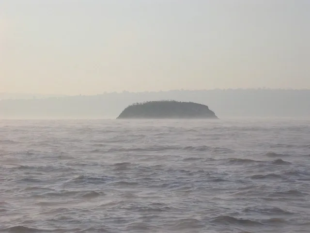
Midland Isle — island in Pembrokeshire, Wales.

Wikimedia Commons contributors — see linked file page for photographer and licence licence

Plan your visit
- Typical visit
- 4 h–12 h
- Free entry
- Dog-friendly
Getting there & planning your visit
Midland Isle is located in South Wales, with coordinates 51.735 latitude and -5.264 longitude. There is no nearest railway station or postcode available for this remote island. Entry to the island is free.
About
Midland Isle is a island in the United Kingdom. Wikidata describes it as: "island in Pembrokeshire, Wales". Coordinates: 51.7350°, -5.2640°.
Photo gallery
From the Wikipedia article
Middleholm, also known as Midland Isle, is a small island lying off southwest Pembrokeshire in Wales, between the island of Skomer and the mainland in the community of Marloes and St Brides. It is roughly circular with a diameter of about 1,210 feet (370 m) and an area of 21.5 acres (8.7 ha). It is separated from the mainland by Jack Sound and from Skomer by Little Sound.
Excerpt from Wikipedia under CC BY-SA 4.0. See the source article linked in Sources below.
Background
History
The name Middleholm was documented in 1325 in the reign of Edward III, when ferreters were paid for catching rabbits. The island has been in use for considerably longer, with traces of Iron Age walling, and may have been used for summer grazing, despite the lack of natural fresh water. Since 1966, when the rabbit population was killed by myxomatosis, the island has been ungrazed. The name Midland Isle has been used at least as far back as 1578, when it was abbreviated in Latin as Midlan Insul. This name was also used in 1833, when it was cited in Lewis's A Topographical Dictionary of Wales. Modern Ordnance Survey maps use the latter name.
Sourced from Wikipedia under CC BY-SA 4.0.
- Coordinates
- 51.7350, -5.2640
- Address
- Jack Sound
Sources
- wikidata: Q6841809 (CC0)
- wikipedia: Middleholm (CC BY-SA 4.0)
- commons: Midland Island also known as Middleholm - geograph.org.uk - 427473.jpg (CC BY-SA 4.0)
Other places nearby

The Neck
Mountains & hills · 0.7 km
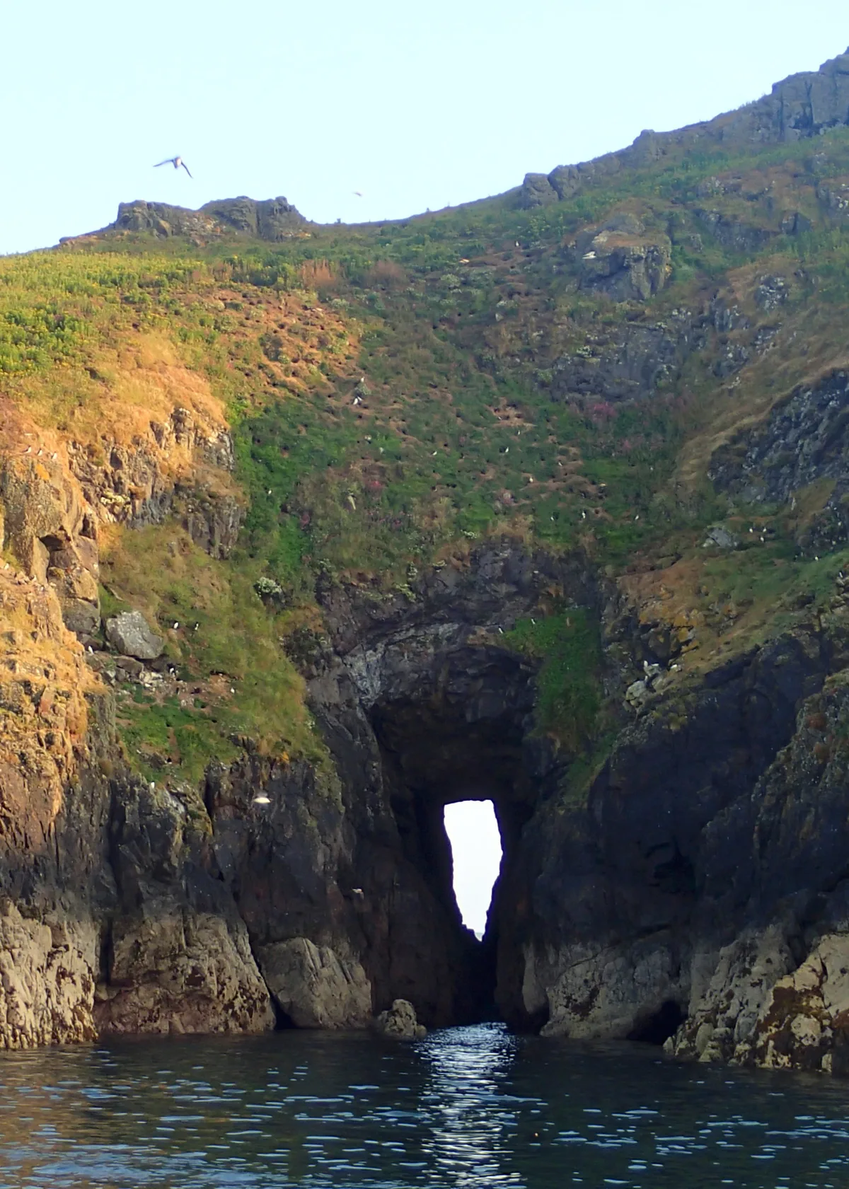
Shag Hole Bay
Mountains & hills · 0.7 km

Castle Bay
Natural landmarks · 1.0 km

Wooltack Point
Vineyards · 1.1 km

South Castle, Skomer
Vineyards · 1.1 km

North Haven, Skomer Island
Marinas · 1.2 km
South Haven, Skomer Island
Marinas · 1.3 km
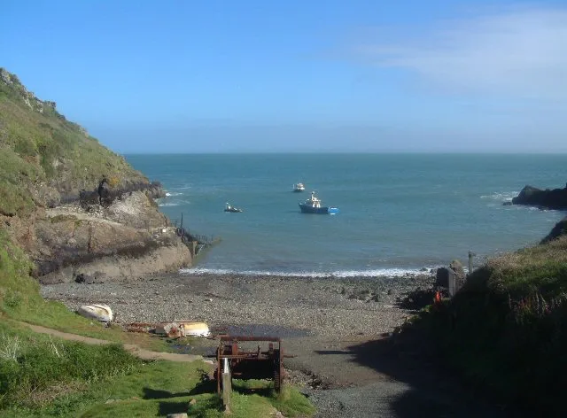
Martin's Haven
Mountains & hills · 1.3 km

Harold Stone
Archaeological sites · 1.4 km

West Hook Farm
Campsites · 1.8 km
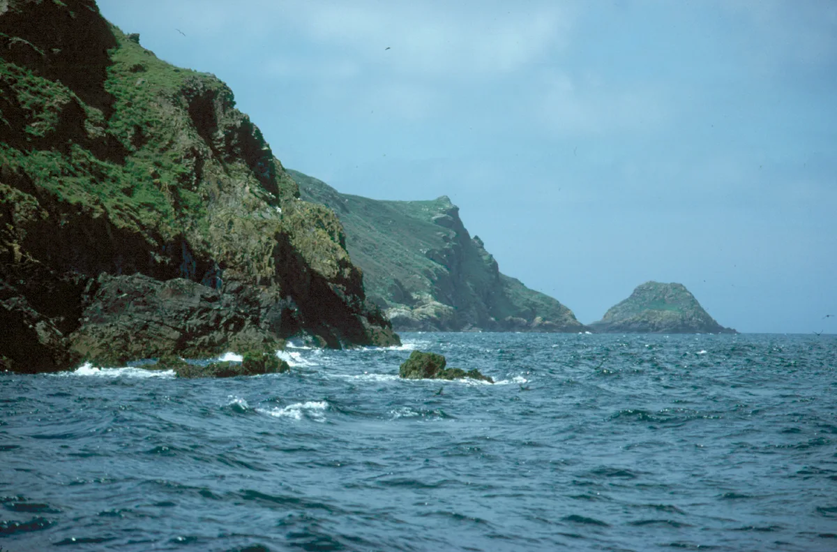
Skomer Island
Islands · 2.2 km

Mew Stone
Mountains & hills · 2.2 km
Nearby
📷 5📷 3Mountains & hills · South Wales
Shag Hole Bay
Shag Hole Bay is a mountain or hill in the United Kingdom.
📷 5📷 5Vineyards · South Wales
Wooltack Point
Wooltack Point — a UK vineyard in wales south, producing English or Welsh wine from cool-climate grape varieties.
📷 5Vineyards · South Wales
South Castle, Skomer
South Castle, Skomer — a UK vineyard in wales south, producing English or Welsh wine from cool-climate grape varieties.
📷 5Marinas · South Wales
North Haven, Skomer Island
North Haven, Skomer Island — a marina in wales south.
Where to eat & stay near Midland Isle
Places to stay
📷 5Campsites · South Wales
West Hook Farm
West Hook Farm — a campsite in wales south.
 📷 5
📷 5 📷 5
📷 5 📷 5
📷 5 📷 4
📷 4Campsites · South Wales
Mill Haven Place
Mill Haven Place — a campsite in wales south.
 📷 5
📷 5Caravan parks · South Wales
Hasguard Cross Caravan Park
Hasguard Cross Caravan Park — a caravan park in wales south.
Places to eat & drink
 📷 5
📷 5 📷 5
📷 5 📷 7
📷 7Restaurants · South Wales
The Lost Coins
The Lost Coins — a restaurant in wales south.
More places in this region
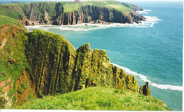 Flagship📷 5
Islands · South Wales
Caldey Island
Caldey Island — small island in Pembrokeshire, Wales, UK.
 Flagship📷 5
Islands · South Wales
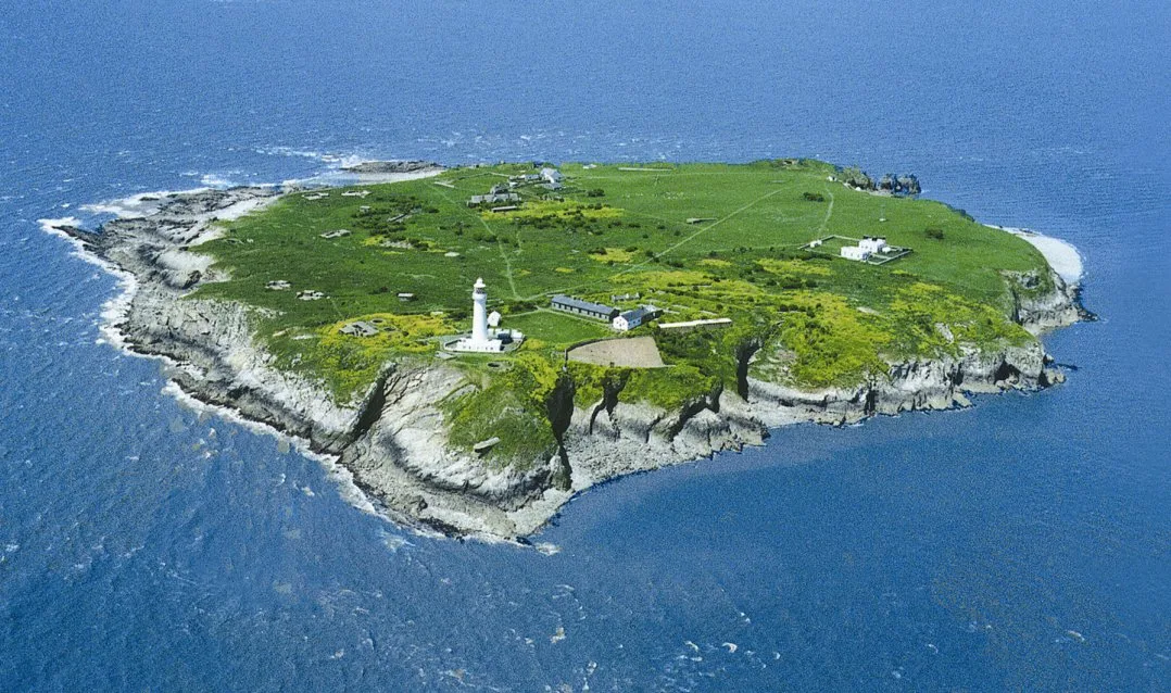
Denny Island
Denny Island — island in the Severn Estuary in Monmouthshire, Wales, United Kingdom.
 📷 5
📷 5 📷 5
📷 5Frequently asked questions
- Where is Midland Isle?
- Midland Isle is in South Wales, United Kingdom.
- What is Midland Isle?
- Midland Isle — island in Pembrokeshire, Wales.
- How do I get to Midland Isle?
- Its coordinates are 51.7350°, -5.2640°.
- Is Midland Isle free to visit?
- Yes, Midland Isle is free to enter.