Mountains & hills · South East England
Standlynch Down
Standlynch Down — mountain in england south east. Elevation: 153 m.

David Martin — CC BY-SA 2.0 via Wikimedia Commons licence
Plan your visit
- Typical visit
- 3 h–8 h
- Best time of year
- Late spring – early autumn (May–Oct)
About
Standlynch Down is a mountain located in england south east. Elevation: 153 m. A named British peak recorded in OpenStreetMap. Peaks are typically named on Ordnance Survey 1:50k mapping.
Photo gallery
Place summary
Standlynch Down is a mountain located in South-East England. This site offers a range of outdoor activities and scenic views of the surrounding landscape. Visitors can expect a variety of walking trails suitable for different skill levels, making it a popular spot for hikers and nature enthusiasts. The area is characterised by its natural beauty and open spaces, providing a tranquil environment for outdoor recreation.
AI-generated from the structured facts on this page (operator, designation, listing, era). Not a substitute for visiting.
- Coordinates
- 51.0172, -1.7064
Sources
- osm: n10021307369 (ODbL)
Other places nearby
Loading nearby places…
Nearby
 📷 5
📷 5Follies · South East England
The Pepperbox
The Pepperbox — Folly or eyecatcher.
 📷 5
📷 5Mountains & hills · South East England
Pepperbox Hill
Pepperbox Hill — mountain in england south east. Elevation: 146 m. Operated by National Trust.
📷 5Mountains & hills · South East England
Brickworth Down
Brickworth Down — mountain in england south east. Elevation: 157 m.
 📷 5
📷 5Mountains & hills · South East England
Pepperbox Hill
Pepperbox Hill — a hill or mountain in england south east.
 📷 5
📷 5Manor houses · South East England
Brickworth House
Brickworth House — a manor in england-south-east, United Kingdom.
 📷 5
📷 5Mountains & hills · South East England
Barford Down
Barford Down — mountain in england south east. Elevation: 109 m.
Where to eat & stay near Standlynch Down
Places to stay
 📷 5
📷 5Hotels · South East England
New Forest Lodge Hotel
New Forest Lodge Hotel — a hotel in england south east.
 📷 5
📷 5Caravan parks · South East England
White Hill Farm Caravan Park
White Hill Farm Caravan Park — a caravan park in england south east.
 📷 5
📷 5Caravan parks · South East England
Carron Caravan And Camping Site
Carron Caravan And Camping Site — a caravan park in england south east.
 📷 5
📷 5Hotels · South East England
Mercure Salisbury White Hart
Mercure Salisbury White Hart — a hotel in england south east. 4-star. Brand: Mercure.
 📷 5
📷 5Hotels · South East England
The Red Lion Hotel
The Red Lion Hotel — a hotel in england south east.
 📷 5
📷 5Hotels · South East England
The Cathedral Hotel
The Cathedral Hotel — a hotel in england south east.
Places to eat & drink
 📷 5
📷 5Restaurants · South East England
Prezzo
Prezzo — a restaurant in england south east.
 📷 5
📷 5Cafés · South East England
Pickled Frog
Pickled Frog — a café in england south east.
 📷 5
📷 5Restaurants · South East England
The Old Castle
The Old Castle — a restaurant in england south east. Cuisine: american. Brand: Harvester.
 📷 5
📷 5Cafés · South East England
Paws for Thought Cat Cafe
Paws for Thought Cat Cafe — a café in england south east.
 📷 5
📷 5Cafés · South East England
Costa
Costa — a café in england south east.
 📷 5
📷 5Restaurants · South East England
South Garden Chinese Restaurant
South Garden Chinese Restaurant — a restaurant in england south east. Cuisine: chinese.
More mountains in this region
 📷 5
📷 5Mountains & hills · South East England
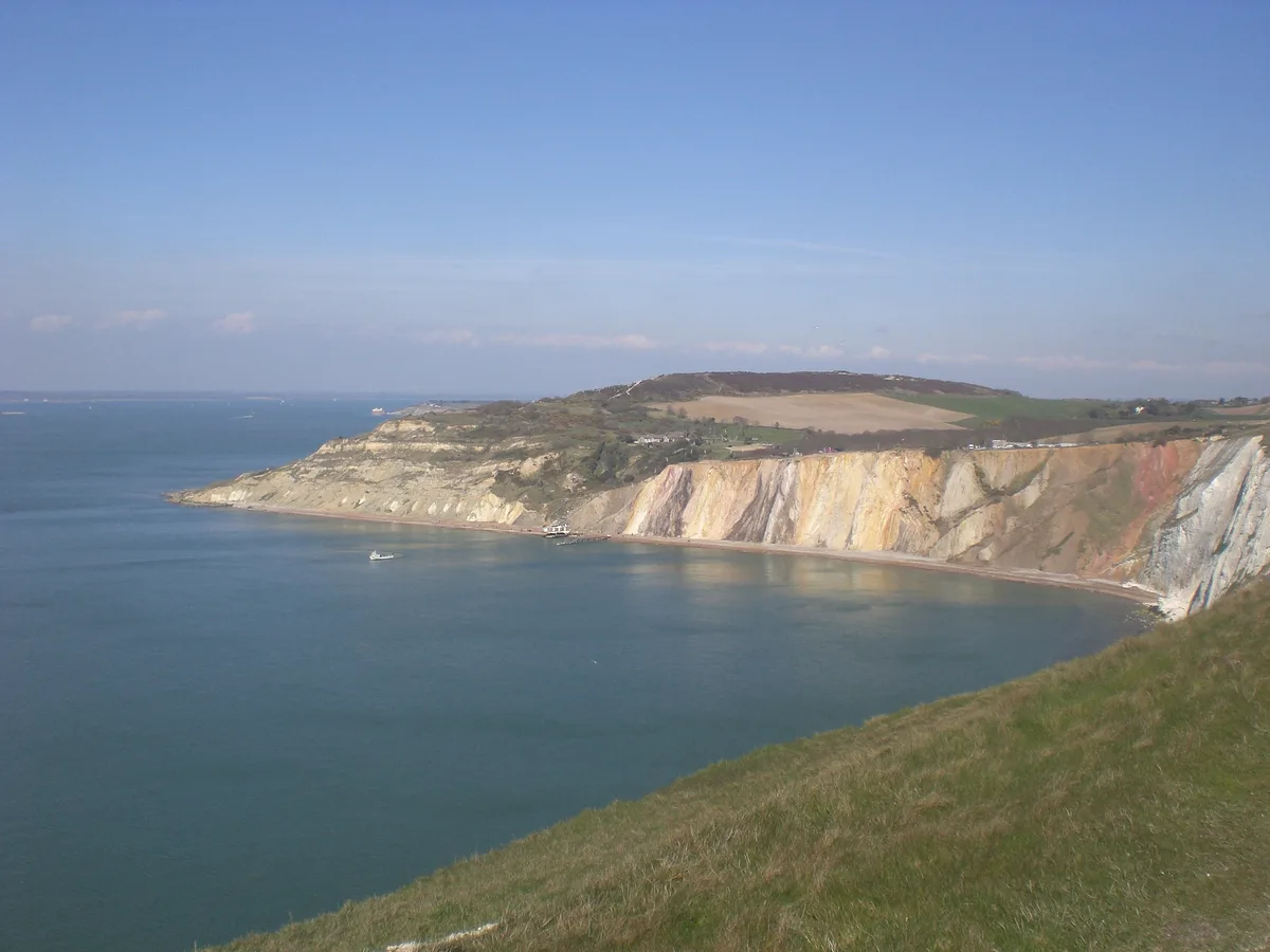
Alum Bay
Alum Bay is a mountain or hill in the United Kingdom.
 📷 5
📷 5Mountains & hills · South East England
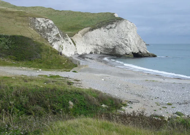
Arish Mell
Arish Mell — bay in Dorset, England.
 📷 5
📷 5Mountains & hills · South East England
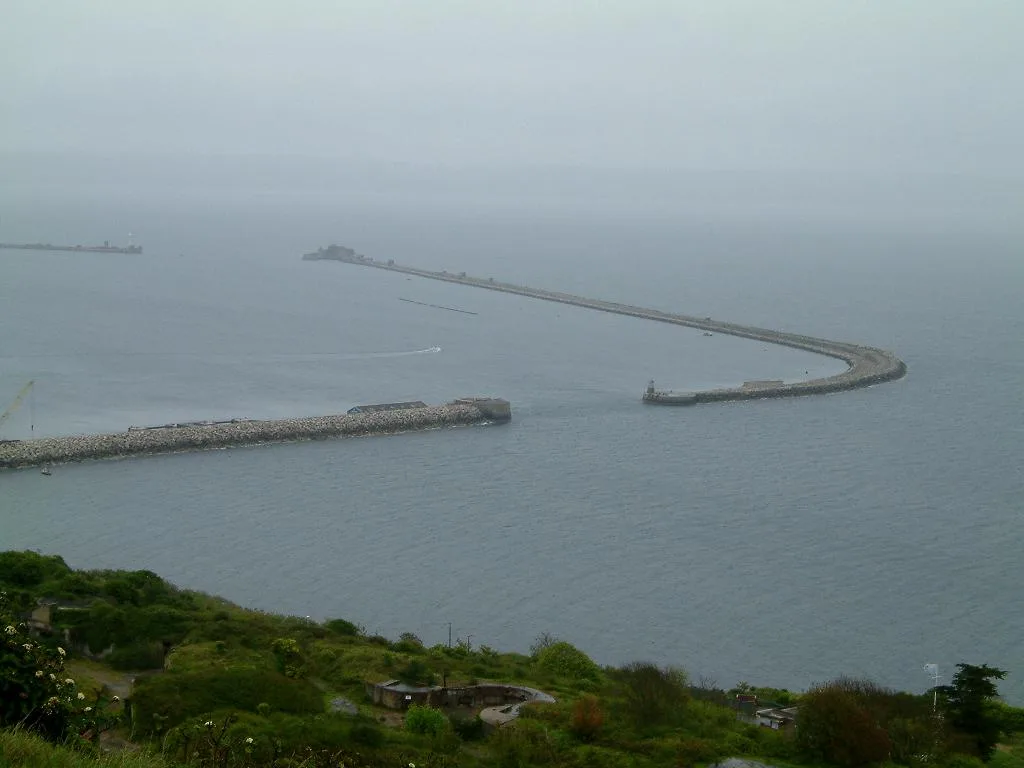
Balaclava Bay
Balaclava Bay — bay in Dorset, England.
 📷 5
📷 5Mountains & hills · South East England
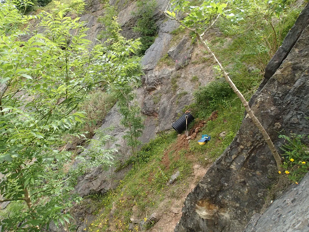
Balch Cave
Balch Cave — Cave in Somerset, England.
Frequently asked questions
- Where is Standlynch Down?
- Standlynch Down is in South-East England, United Kingdom.
- What is Standlynch Down?
- Standlynch Down — mountain in england south east. Elevation: 153 m.
- How do I get to Standlynch Down?
- Its coordinates are 51.0172°, -1.7064°.