
Windmills · South Wales
Standing stone 150m south-east of Yarberry Farm
In or near Compton Bishop.
Standing stone 150m south-east of Yarberry Farm — a post mill in wales-south, United Kingdom.

Roger Cornfoot — CC BY-SA 2.0 via Wikimedia Commons licence

Plan your visit
- Typical visit
- 30 min–1 h
- Nearest railway station
- Puxton Park · 5.1 km
- Free entry
- Family-friendly
- Dog-friendly
About
Standing stone 150m south-east of Yarberry Farm is a post mill located in wales-south, United Kingdom. Catalogued from Wikidata's UK heritage register; see the linked Wikipedia article for further details on its history, architecture and visiting information.
Photo gallery
Protected designations
- Site of Special Scientific Interest: Severn Estuary SSSI
- National Nature Reserve: MENDIP
- Area of Outstanding Natural Beauty: Mendip Hills
- Ramsar wetland: Severn Estuary
Designations sourced from Natural England open data under OGL v3.
Place summary
The standing stone 150m south-east of Yarberry Farm is located in South Wales. This prehistoric monument is notable for its historical significance, though specific details about its era or designation are not provided. Its presence contributes to the region's archaeological landscape.
AI-generated from the structured facts on this page (operator, designation, listing, era). Not a substitute for visiting.
- Coordinates
- 51.3163, -2.8761
- District
- North Somerset
- Parish
- Banwell
- Postcode
- BS29 6ND
- Parliamentary constituency
- Wells and Mendip Hills
- Nearest railway station
- Puxton Park — 5.1 km
Sources
- wikidata: Q17648086 (CC0)
Other places nearby
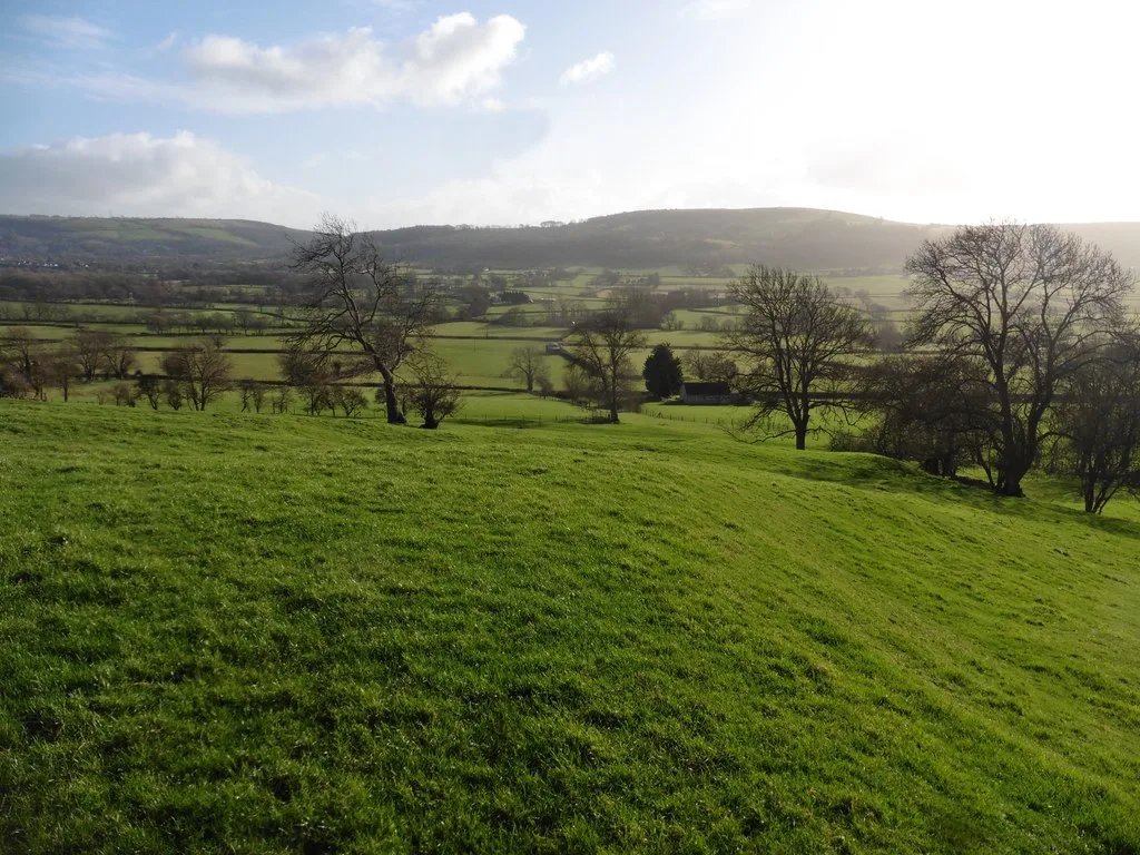
Roman settlement and associated industrial remains and field system north-east of Winthill Farm
Archaeological sites · 0.9 km

Banwell Hill
Mountains & hills · 0.9 km
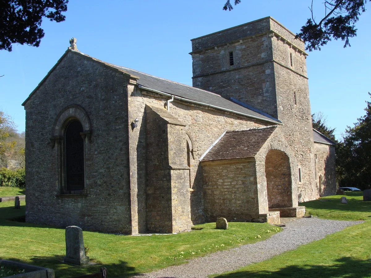
Church of St Mary, Christon
Historic churches · 1.2 km
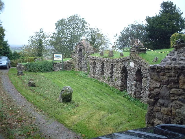
Banwell Caves
Mountains & hills · 1.2 km

Pebble Summerhouse
Natural landmarks · 1.2 km
Alcove Seat
Natural landmarks · 1.2 km
Stalactite Cave
Caves · 1.2 km

Bone Cave
Caves · 1.3 km

Old Bell Inn
Historic pubs · 1.5 km

Barton Cave
Caves · 1.5 km

The Cart Wash
Natural landmarks · 1.6 km
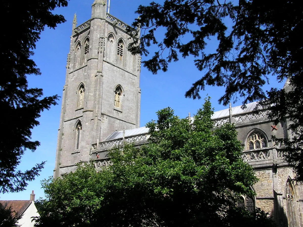
Church of St Andrew, Banwell
Historic churches · 1.6 km
Nearby
📷 3Archaeological sites · South Wales
Roman settlement and associated industrial remains and field system north-east of Winthill Farm
Roman settlement and associated industrial remains and field system north-east of Winthill Farm — archaeological site in Banwell, North Somerset, England, UK.
📷 5📷 3Historic churches · South Wales
Church of St Mary, Christon
Church of St Mary, Christon — church in Christon, Somerset, England, UK.
📷 3Mountains & hills · South Wales
Banwell Caves
Banwell Caves is a mountain or hill in the United Kingdom.
📷 3Natural landmarks · South Wales
Pebble Summerhouse
Pebble Summerhouse — a other in wales-south, United Kingdom.
📷 3Natural landmarks · South Wales
Alcove Seat
Alcove Seat — a other in wales-south, United Kingdom.
Where to eat & stay near Standing stone 150m south-east of Yarberry Farm
Places to stay
 📷 5
📷 5Caravan parks · South Wales
Summer Lane Parkhomes
Summer Lane Parkhomes — a caravan park in wales south.
 📷 4
📷 4Campsites · South Wales
Stonebridge Farm Campsite
Stonebridge Farm Campsite — a campsite in wales south.
 📷 5
📷 5Caravan parks · South Wales
Myrtle Farm Touring Park
Myrtle Farm Touring Park — a caravan park in wales south.
 📷 5
📷 5Campsites · South Wales
Netherdale Caravan & Camping Site
Netherdale Caravan & Camping Site — a campsite in wales south.
 📷 3
📷 3Caravan parks · South Wales
West End Farm Caravan Park
West End Farm Caravan Park — a caravan park in wales south.
 📷 7
📷 7B&Bs · South West England
Old Manor House B&B
Old Manor House B&B — a bed-and-breakfast in england south west.
Places to eat & drink
📷 5
 📷 5
📷 5Restaurants · South Wales
The Pavilion
The Pavilion — a restaurant in wales south.
 📷 5
📷 5Restaurants · South Wales
Muffins Tea Room & Brasserie
Muffins Tea Room & Brasserie — a restaurant in wales south.
 📷 5
📷 5
More windmills in this region
 📷 3
📷 3Windmills · South Wales
Hayes Farm Mill (ruin)
Hayes Farm Mill (ruin) is a windmill in the United Kingdom.
 📷 3
📷 3Windmills · South Wales
Kilvey Hill Windmill (remains)
Kilvey Hill Windmill (remains) is a windmill in the United Kingdom.
 📷 3
📷 3Windmills · South Wales
Llancayo Windmill
Llancayo Windmill is a windmill in the United Kingdom.
 📷 3
📷 3Windmills · South Wales
Windmill House
Windmill House — Grade II listed building-listed windmill in wales-south, United Kingdom.
Frequently asked questions
- Where is Standing stone 150m south-east of Yarberry Farm?
- Standing stone 150m south-east of Yarberry Farm is in South Wales, United Kingdom (postcode BS29 6ND), in the parish of Banwell.
- What is Standing stone 150m south-east of Yarberry Farm?
- Standing stone 150m south-east of Yarberry Farm — a post mill in wales-south, United Kingdom.
- How do I get to Standing stone 150m south-east of Yarberry Farm?
- The nearest railway station is Puxton Park, about 5.1 km away. Drivers can use postcode BS29 6ND.
- Is Standing stone 150m south-east of Yarberry Farm a protected site?
- Yes — Standing stone 150m south-east of Yarberry Farm is part of the Severn Estuary SSSI Site of Special Scientific Interest and the MENDIP National Nature Reserve.
- Is Standing stone 150m south-east of Yarberry Farm free to visit?
- Yes, Standing stone 150m south-east of Yarberry Farm is free to enter.
- How do I get to Standing stone 150m south-east of Yarberry Farm?
- The nearest railway station is Puxton Park, about 5.1 km away. Drivers can navigate to postcode BS29 6ND.