
Mountains & hills · South Wales
Banwell Caves
In or near Compton Bishop.
Banwell Caves is a mountain or hill in the United Kingdom.

Wikimedia Commons contributors — see linked file page for photographer and licence licence

Plan your visit
- Typical visit
- 3 h–8 h
- Best time of year
- Late spring – early autumn (May–Oct)
- Nearest railway station
- Worle · 4.0 km
- Free entry
- Family-friendly
- Dog-friendly
Getting there & planning your visit
To visit Banwell Caves, the nearest railway station is Worle, located 4 km away. The postcode for sat-nav is BS29 6NA, and entry to the caves is free.
About
Banwell Caves is a named summit in the United Kingdom. Heritage designation: Site of Special Scientific Interest. Coordinates: 51.3249°, -2.8869°.
Photo gallery
Protected designations
- Site of Special Scientific Interest: Banwell Caves SSSI
- Site of Special Scientific Interest: Severn Estuary SSSI
- National Nature Reserve: MENDIP
- Area of Outstanding Natural Beauty: Mendip Hills
Designations sourced from Natural England open data under OGL v3.
From the Wikipedia article
Banwell Caves (grid reference ST383588) are a 1.7-hectare geological and biological Site of Special Scientific Interest near the village of Banwell, North Somerset, England notified in 1963. The site comprises two caves, called 'Banwell Bone Cave' and 'Banwell Stalactite Cave', which lie within the grounds of a large house, at the western end of Banwell Hill. The caves contain barite deposits, which are found in greater abundance and variety here than at any other site in the Mendip Hills, and are used as a hibernation site by greater horseshoe bats (Rhinolophus ferrumequinum). The site also has several grottos and follies, including the Pebble summerhouse, Druid's Temple, an osteoicon (or bone repository) and Banwell Tower which was completed in 1840.
Excerpt from Wikipedia under CC BY-SA 4.0. See the source article linked in Sources below.
Background
History
The first cave to be discovered was the Stalactite Cave in 1757. This was opened in 1824 as a show cave to raise money for the local school. In an attempt to make access easier, a tunnel was dug into the hill during which the bone cave was discovered in 1825. The estate was owned by George Henry Law as Bishop of Bath and Wells, who thought the bones which were found were those of animals drowned in the flood at the time of Noah's Ark described in the Book of Genesis. The bishop had paths and folly buildings created for visitors and built a small cottage, which later became his retirement home. Since the 1970s, preservation and restoration work has been undertaken.
Sourced from Wikipedia under CC BY-SA 4.0.
- Coordinates
- 51.3249, -2.8869
- District
- North Somerset
- Parish
- Banwell
- Postcode
- BS29 6NA
- Parliamentary constituency
- Wells and Mendip Hills
- Nearest railway station
- Worle — 4 km
Sources
- wikidata: Q4857341 (CC0)
- wikipedia: Banwell Caves (CC BY-SA 4.0)
- commons: Banwellcaves.jpg (CC BY-SA 4.0)
Other places nearby

Pebble Summerhouse
Natural landmarks · 0.0 km
Alcove Seat
Natural landmarks · 0.0 km
Stalactite Cave
Caves · 0.0 km

Bone Cave
Caves · 0.1 km

Banwell Hill
Mountains & hills · 0.5 km

Summer Lane Parkhomes
Caravan parks · 0.8 km

Standing stone 150m south-east of Yarberry Farm
Windmills · 1.2 km

Stonebridge Farm Campsite
Campsites · 1.3 km

Tinker's Batch
Vineyards · 1.4 km
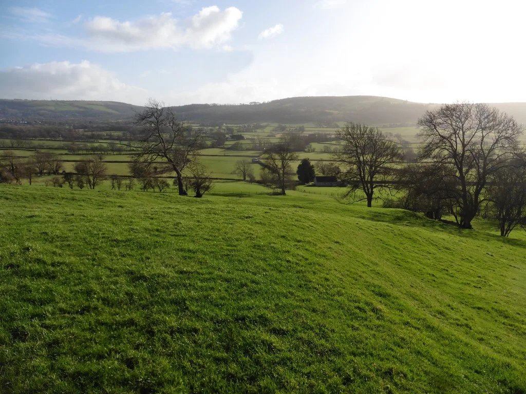
Roman settlement and associated industrial remains and field system north-east of Winthill Farm
Archaeological sites · 1.5 km
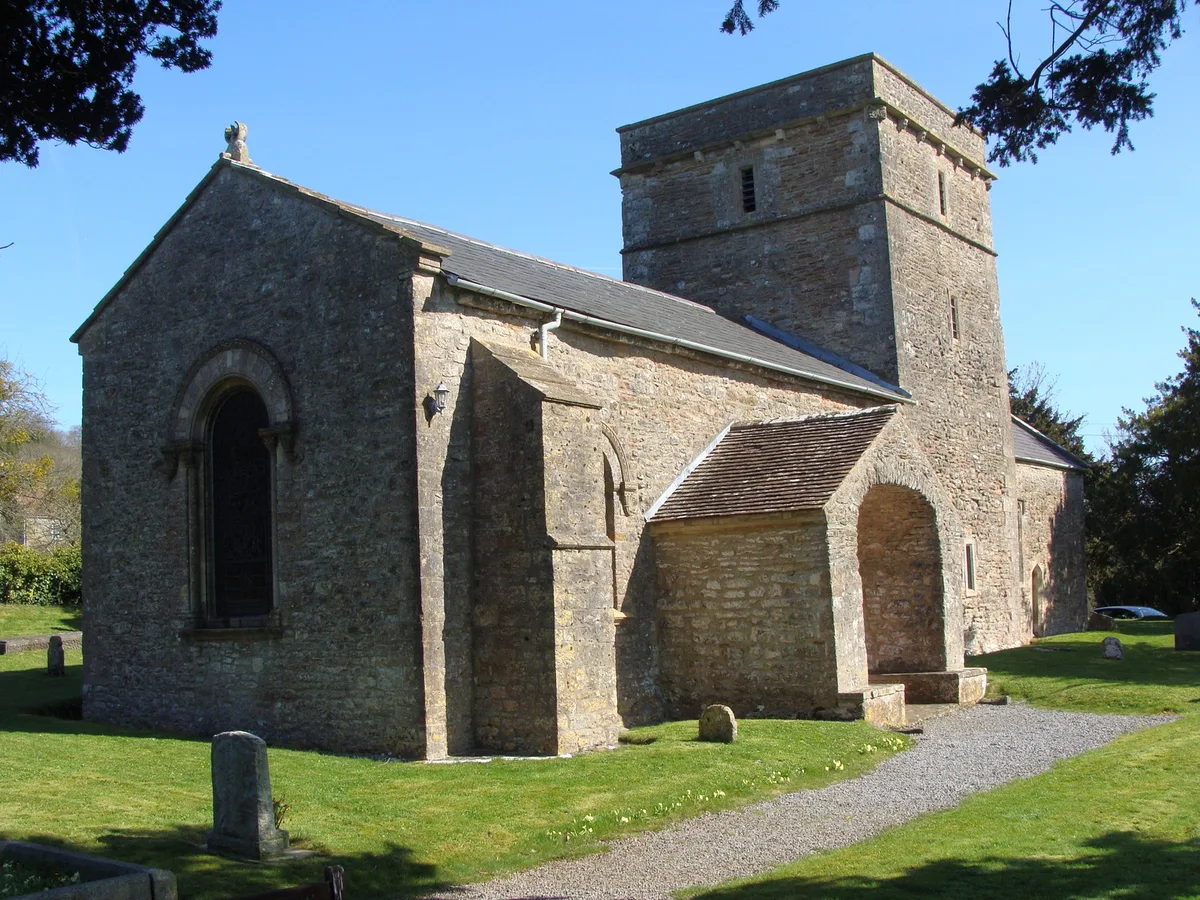
Church of St Mary, Christon
Historic churches · 1.5 km

Court Farm Country Park
Zoos & aquariums · 1.6 km
Nearby
📷 3Natural landmarks · South Wales
Pebble Summerhouse
Pebble Summerhouse — a other in wales-south, United Kingdom.
📷 3Natural landmarks · South Wales
Alcove Seat
Alcove Seat — a other in wales-south, United Kingdom.
📷 3📷 3📷 5📷 5Caravan parks · South Wales
Summer Lane Parkhomes
Summer Lane Parkhomes — a caravan park in wales south.
Where to eat & stay near Banwell Caves
Places to stay
📷 5Caravan parks · South Wales
Summer Lane Parkhomes
Summer Lane Parkhomes — a caravan park in wales south.
📷 4Campsites · South Wales
Stonebridge Farm Campsite
Stonebridge Farm Campsite — a campsite in wales south.
 📷 5
📷 5Caravan parks · South Wales
Myrtle Farm Touring Park
Myrtle Farm Touring Park — a caravan park in wales south.
 📷 3
📷 3Caravan parks · South Wales
West End Farm Caravan Park
West End Farm Caravan Park — a caravan park in wales south.
 📷 5
📷 5Caravan parks · South Wales
Willow Down Caravan Park
Willow Down Caravan Park — a caravan park in wales south.
 📷 5
📷 5Places to eat & drink
 📷 5
📷 5
 📷 5
📷 5Restaurants · South Wales
Muffins Tea Room & Brasserie
Muffins Tea Room & Brasserie — a restaurant in wales south.
 📷 5
📷 5Restaurants · South Wales
The Pavilion
The Pavilion — a restaurant in wales south.
 📷 5
📷 5 📷 5
📷 5More mountains in this region
 Flagship📷 3
Mountains & hills · South Wales
Milford Haven Waterway
Milford Haven Waterway — ria, or flooded valley, in Pembrokeshire, south-west Wales, UK.
 📷 5
📷 5Mountains & hills · South Wales
Ogof Ffynnon Ddu
Ogof Ffynnon Ddu — cave in the Upper Swansea Valley in South Wales.
 📷 3
📷 3 📷 3
📷 3Frequently asked questions
- Where is Banwell Caves?
- Banwell Caves is in South Wales, United Kingdom (postcode BS29 6NA), in the parish of Banwell.
- What is Banwell Caves?
- Banwell Caves is a mountain or hill in the United Kingdom.
- How do I get to Banwell Caves?
- The nearest railway station is Worle, about 4.0 km away. Drivers can use postcode BS29 6NA.
- Is Banwell Caves a listed building?
- Banwell Caves is officially recognised as Site of Special Scientific Interest listed.
- Is Banwell Caves a protected site?
- Yes — Banwell Caves is part of the Banwell Caves SSSI Site of Special Scientific Interest and the Severn Estuary SSSI Site of Special Scientific Interest.
- Is Banwell Caves free to visit?
- Yes, Banwell Caves is free to enter.
- How do I get to Banwell Caves?
- The nearest railway station is Worle, about 4.0 km away. Drivers can navigate to postcode BS29 6NA.