
Historic churches · East Midlands
St Mary's Church
In or near Tilney All Saints.
St Mary's Church — church in Tilney St Lawrence, King's Lynn and West Norfolk, Norfolk, England, UK.

Wikimedia Commons contributors — see linked file page for photographer and licence licence

Plan your visit
- Typical visit
- 30 min–1 h
- Nearest railway station
- King's Lynn · 6.1 km
- Free entry
Getting there & planning your visit
To visit St Mary's Church, the nearest railway station is King's Lynn, located 6.1 km away. The postcode for navigation is PE34 4SB, and entry to the church is free.
About
St Mary's Church is a historic church in the United Kingdom. Built in the English Gothic architecture style. Heritage designation: Grade II* listed building. Wikidata describes it as: "church in Tilney St Lawrence, King's Lynn and West Norfolk, Norfolk, England, UK". Coordinates: 52.7268°, 0.3247°.
Photo gallery
From the Wikipedia article
St Mary's Church is a ruined redundant Anglican church in the civil parish of Tilney St Lawrence, Norfolk, England. It is recorded in the National Heritage List for England as a designated Grade II* listed building, and is under the care of the Churches Conservation Trust. The ruins stand in an isolated position adjacent to Islington Hall Farm, immediately to the south of the A47 road between King's Lynn and Wisbech.
Excerpt from Wikipedia under CC BY-SA 4.0. See the source article linked in Sources below.
Background
History
The oldest fabric in the ruin dates from the late 13th century, and is found in the nave, the chancel, and the transepts. The tower was added when the church was remodelled in the 15th century. The chancel was closed by the building of a west wall in 1972.
Architecture
The church is constructed in stone, some of which has been rendered, with brick in the upper part of the tower. Its original plan was cruciform, with a nave, a chancel, north and south transepts, and a west tower. Only the tower and the chancel have retained their roofs. The chancel roof is tiled. The tower is in three stages, with stepped buttresses at the angles, and a stair turret on the southwest. In the lower stage is a west door and a three-light Perpendicular west window. The middle stage contains twin lancet windows, and in the top stage are two-light bell openings. The parapet is battlemented. The nave walls contain three-light square-headed windows. Only the gable ends of the…
Sourced from Wikipedia under CC BY-SA 4.0.
- Coordinates
- 52.7268, 0.3247
- County
- Norfolk
- District
- King's Lynn and West Norfolk
- Parish
- Tilney St. Lawrence
- Postcode
- PE34 4SB
- Parliamentary constituency
- South West Norfolk
- Nearest railway station
- King's Lynn — 6.1 km
- Opening
- Mo-Su sunrise-sunset
- Official site
- www.visitchurches.org.uk
Sources
- wikidata: Q7594356 (CC0)
- wikipedia: St Mary's Church, Islington, Norfolk (CC BY-SA 4.0)
- commons: The ruined church of St Mary in Tilney cum Islington - geograph.org.uk - 1820224.jpg (CC BY-SA 4.0)
Other places nearby

Tilney All Saints Village Sign
Public art & sculpture · 0.9 km

Tilney All Saints War Memorial Cross
Memorials & monuments · 1.1 km

TilneyAll Saints Village Sign
Public art & sculpture · 1.1 km
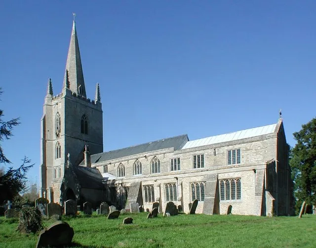
Tilney All Saints
Towns & cities · 1.3 km

Medieval settlement remains north of Kenwick Farm house
Vineyards · 2.2 km
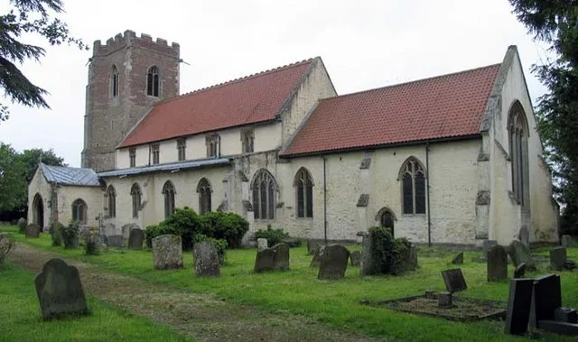
St Mary the Virgin's Church, Wiggenhall
Historic churches · 2.7 km

Tilney St Lawrence War Memorial
Memorials & monuments · 2.9 km

Islington Village Sign
Public art & sculpture · 2.9 km

Terrington St John War Memorial Cross
Memorials & monuments · 3.3 km

Wiggenhall St Germans Village Sign
Public art & sculpture · 3.7 km
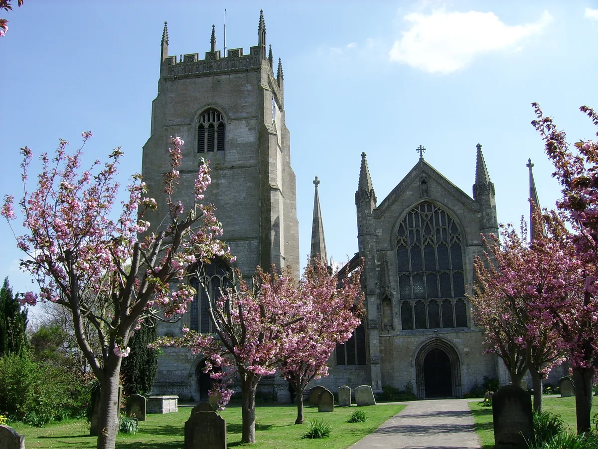
Terrington St Clement
Towns & cities · 3.7 km

Wiggenhall Saint Germans
Villages · 3.7 km
Nearby
📷 3Public art & sculpture · East Midlands
Tilney All Saints Village Sign
Tilney All Saints Village Sign — a public art in england-east-midlands, United Kingdom.
📷 3Memorials & monuments · East Midlands
Tilney All Saints War Memorial Cross
Tilney All Saints War Memorial Cross — Grade II listed building-listed memorial in england-east-midlands, United Kingdom.
📷 3Public art & sculpture · East Midlands
TilneyAll Saints Village Sign
TilneyAll Saints Village Sign — a public art in england-east-midlands, United Kingdom.
Flagship📷 3Towns & cities · East Midlands
Tilney All Saints
Tilney All Saints — village and civil parish in Norfolk, United Kingdom.
📷 5Vineyards · East Midlands
Medieval settlement remains north of Kenwick Farm house
human settlement in Tilney All Saints, King's Lynn and West Norfolk, Norfolk, England, UK
📷 3Historic churches · East Midlands
St Mary the Virgin's Church, Wiggenhall
St Mary the Virgin's Church, Wiggenhall — Grade I listed church in Wiggenhall St Germans, King's Lynn and West Norfolk, Norfolk, England, UK.
Where to eat & stay near St Mary's Church
Places to stay
 📷 5
📷 5Caravan parks · East of England
Hardwick Bridge Park
Hardwick Bridge Park — a caravan park in england east midlands.
 📷 5
📷 5 📷 5
📷 5Caravan parks · East of England
King's Lynn Caravan and Camping Park
King's Lynn Caravan and Camping Park — a caravan park in england east midlands.
📷 5Campsites · East of England
King's Lynn Caravan and Camping Park
King's Lynn Caravan and Camping Park — a campsite in england east midlands.
 📷 5
📷 5Campsites · East of England
Four Oaks Camping
Four Oaks Camping — a campsite in england east midlands.
 📷 5
📷 5Caravan parks · East of England
Innisfree Park Homes
Innisfree Park Homes — a caravan park in england east midlands.
Places to eat & drink
 📷 5
📷 5Historic pubs · East of England
Crown And Mitre Public House
Crown And Mitre Public House in England East, United Kingdom.
 📷 5
📷 5Historic pubs · East of England
Globe Hotel
Globe Hotel in England East, United Kingdom.
 📷 5
📷 5 📷 5
📷 5 📷 5
📷 5 📷 5
📷 5More places in this region
 📷 5
📷 5Historic churches · East Midlands
All Saints' Church, Stamford
All Saints' Church, Stamford — church in Stamford, Lincolnshire, England, UK.
 📷 5
📷 5Historic churches · East Midlands
Church of All Saints
Church of All Saints — church in Little Casterton, Rutland, United Kingdom.
 📷 5
📷 5Historic churches · East Midlands
Church of All Saints
Church of All Saints — church in Fenland, UK.
 📷 5
📷 5Historic churches · East Midlands
Church of St Leonard
Church of St Leonard — church in Fenland, UK.
Frequently asked questions
- Where is St Mary's Church?
- St Mary's Church is in Norfolk, the East Midlands, United Kingdom (postcode PE34 4SB), in the parish of Tilney St. Lawrence.
- What is St Mary's Church?
- St Mary's Church — church in Tilney St Lawrence, King's Lynn and West Norfolk, Norfolk, England, UK.
- How do I get to St Mary's Church?
- The nearest railway station is King's Lynn, about 6.1 km away. Drivers can use postcode PE34 4SB.
- Is St Mary's Church a listed building?
- St Mary's Church is officially recognised as Grade II* listed building listed.
- Is St Mary's Church free to visit?
- Yes, St Mary's Church is free to enter.
- How do I get to St Mary's Church?
- The nearest railway station is King's Lynn, about 6.1 km away. Drivers can navigate to postcode PE34 4SB.