
Historic churches · Northern Ireland
St Mark's High School, Warrenpoint
In or near Burren.
St Mark's High School, Warrenpoint in Northern Ireland, United Kingdom.

David Crozier — CC BY-SA 2.0 via Wikimedia Commons licence

Plan your visit
- Typical visit
- 30 min–1 h
- Free entry
About
St Mark's High School, Warrenpoint is a place of interest in Northern Ireland, United Kingdom — drawn from open-data sources for visitor reference. See the linked Wikipedia article for the full description.
See it from the streetimagery from 2020
Imagery © Mapillary contributors, CC BY-SA 4.0
Official information
The Coronation Stone, known as 'Coisleach Aonghuis', is a significant historical monument located in Warrenpoint, County Down. It served as the inauguration site for the chieftains of the Clan Magennis for centuries and is steeped in ancient lore and tradition.
From the Wikipedia article
St. Mark's High School is a Roman Catholic co-education secondary school situated just outside Warrenpoint, County Down, Northern Ireland. It first opened its doors in 1971 when 120 pupils attended.
Excerpt from Wikipedia under CC BY-SA 4.0. See the source article linked in Sources below.
- Coordinates
- 54.1130, -6.2600
- District
- Newry, Mourne and Down
- Postcode
- BT34 3RW
- Parliamentary constituency
- South Down
- Official site
- taramagick.com
Sources
- wikidata: Q7594165 (CC0)
- wikipedia: St Mark's High School, Warrenpoint (CC BY-SA 4.0)
Other places nearby

Clann MacGuinness Coronation Stone
Archaeological sites · 0.3 km

Donaghaguy Rath
Archaeological sites · 0.4 km

Milltown
Natural landmarks · 0.6 km
Warrenpoint Town F.C.
Natural landmarks · 0.6 km

The Irish Elk
Public art & sculpture · 1.0 km

Narrow Water Picnic Area
Natural landmarks · 1.1 km

Warrenpoint ambush
Natural landmarks · 1.2 km

Narrow Water Forest
Archaeological sites · 1.2 km

Joanne Reilly
Memorials & monuments · 1.2 km

Warrenpoint
Villages · 1.3 km

Narrow Water Keep
Natural landmarks · 1.3 km
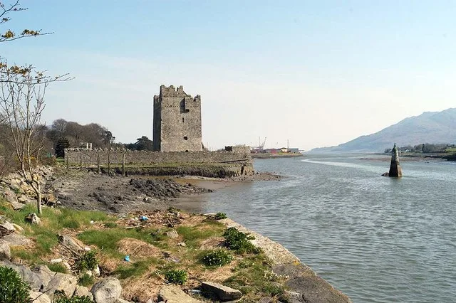
Narrow Water Castle
Castles · 1.5 km
Nearby
📷 5Archaeological sites · Northern Ireland
Clann MacGuinness Coronation Stone
Clann MacGuinness Coronation Stone — a archaeological in northern-ireland, United Kingdom.
📷 2Archaeological sites · Northern Ireland
Donaghaguy Rath
Donaghaguy Rath — a archaeological in northern-ireland, United Kingdom.
📷 3📷 3Natural landmarks · Northern Ireland
Warrenpoint Town F.C.
Warrenpoint Town F.C. in Northern Ireland, United Kingdom.
📷 3Public art & sculpture · Northern Ireland
The Irish Elk
The Irish Elk — a public art in northern-ireland, United Kingdom.
📷 3Natural landmarks · Northern Ireland
Narrow Water Picnic Area
Narrow Water Picnic Area — a other in northern-ireland, United Kingdom.
Where to eat & stay near St Mark's High School, Warrenpoint
Places to stay
 📷 5
📷 5Hostels · Northern Ireland
Kilbroney Youth Centre C.O.I
Kilbroney Youth Centre C.O.I — a hostel in northern ireland.
 📷 5
📷 5Caravan parks · Northern Ireland
Kilbroney Caravan Park
Kilbroney Caravan Park — a caravan park in northern ireland.
 📷 5
📷 5Caravan parks · Northern Ireland
Touring in the Trees - Kilbroney
Touring in the Trees - Kilbroney — a caravan park in northern ireland.
 📷 5
📷 5Caravan parks · Northern Ireland
Slieve Gullion Getaways
Slieve Gullion Getaways — a caravan park in northern ireland.
 📷 5
📷 5 📷 5
📷 5Caravan parks · Northern Ireland
Loughside Holiday Park
Loughside Holiday Park — a caravan park in northern ireland.
More places in this region
 📷 5
📷 5Historic churches · Northern Ireland
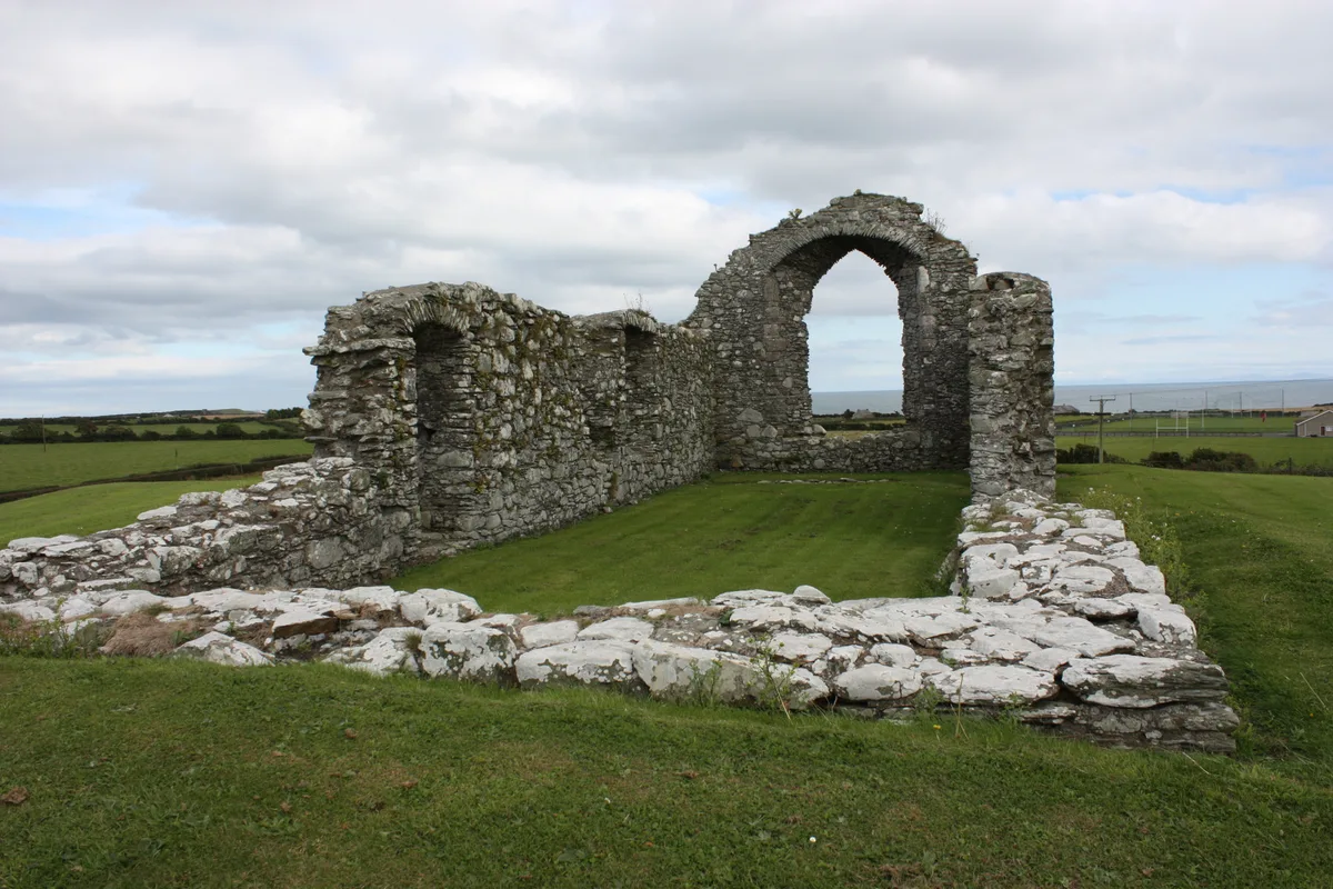
Ardtole Church
Ardtole Church — ruined church in County Down, Northern Ireland.
 📷 3
📷 3Historic churches · Northern Ireland
Ballylinney Presbyterian Church
Ballylinney Presbyterian Church — church building in United Kingdom.
 📷 3
📷 3Historic churches · Northern Ireland
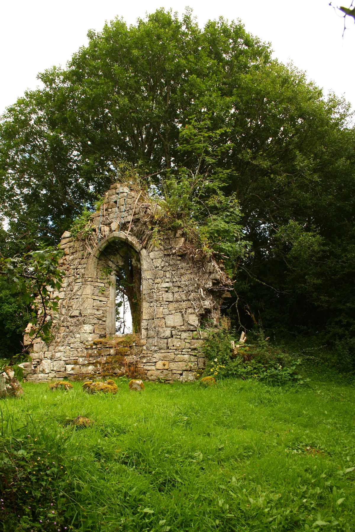
Carrick Church
Carrick Church — ruinous church in Fermanagh, Northern Ireland.
 📷 3
📷 3Historic churches · Northern Ireland
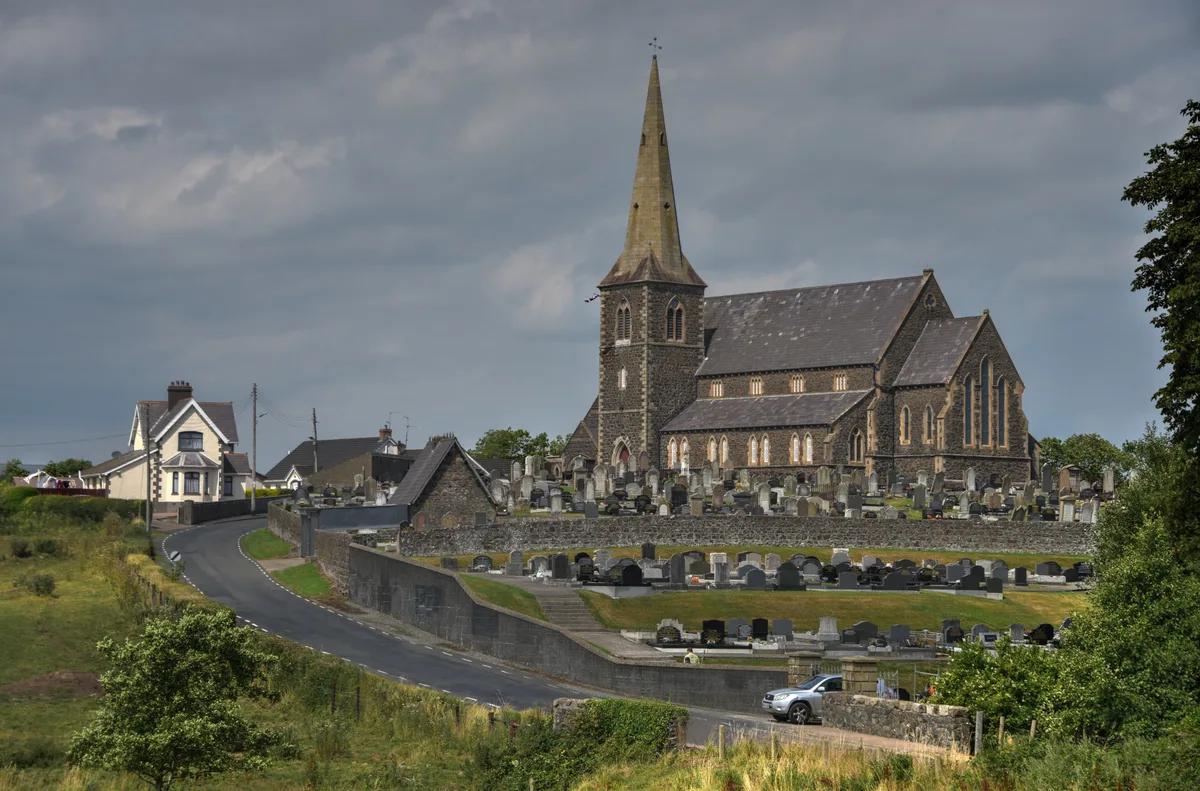
Drumcree Church
Drumcree Church — church building in Portadown, County Armagh, Northern Ireland.
Frequently asked questions
- Where is St Mark's High School, Warrenpoint?
- St Mark's High School, Warrenpoint is in Northern Ireland, United Kingdom (postcode BT34 3RW).
- What is St Mark's High School, Warrenpoint?
- St Mark's High School, Warrenpoint in Northern Ireland, United Kingdom.
- How do I get to St Mark's High School, Warrenpoint?
- Drivers can use postcode BT34 3RW.
- Is St Mark's High School, Warrenpoint free to visit?
- Yes, St Mark's High School, Warrenpoint is free to enter.
- How do I get to St Mark's High School, Warrenpoint?
- Drivers can navigate to postcode BT34 3RW. It sits within the South Down parliamentary constituency.