Archaeological sites · Northern Ireland
Narrow Water Forest
Narrow Water Forest — forest in County Down, Northern Ireland.

Wikimedia Commons licence
Plan your visit
- Typical visit
- 45 min–1.5 h
- Free entry
- Family-friendly
- Dog-friendly
About
Narrow Water Forest is an archaeological site in the United Kingdom. Wikidata describes it as: "forest in County Down, Northern Ireland". Coordinates: 54.1115°, -6.2788°.
Photo gallery
From the Wikipedia article
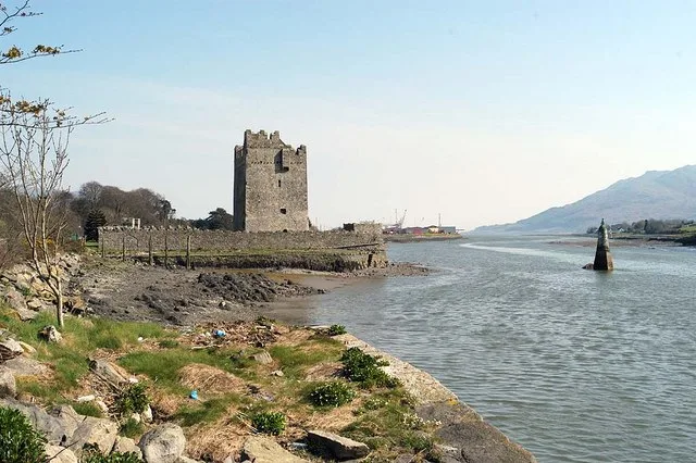
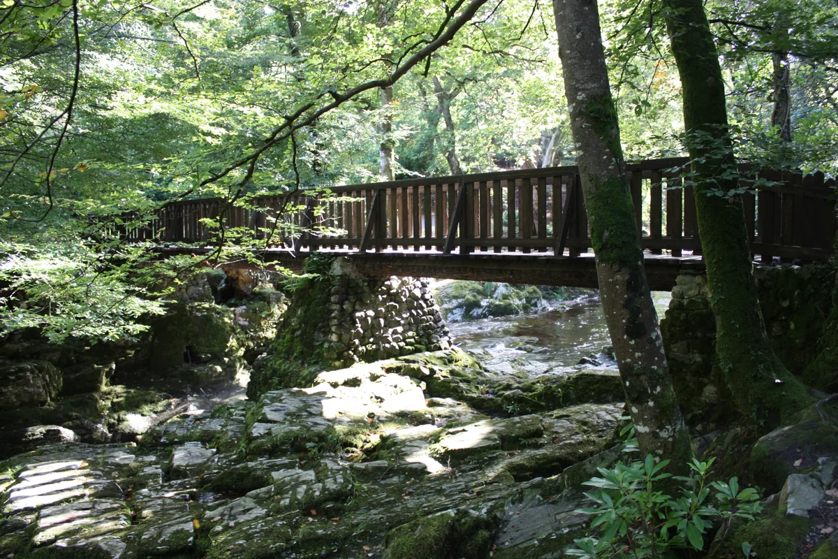
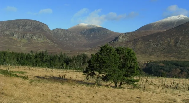
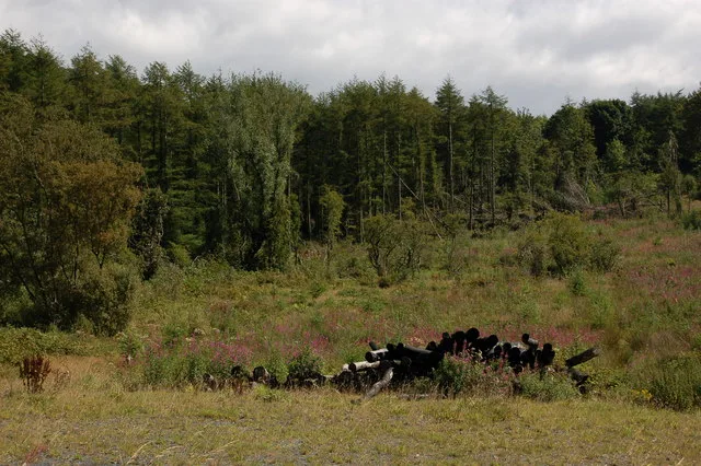
Narrow Water Forest is a mixed broadleaf and coniferous forest located between Newry and Warrenpoint, County Down, Northern Ireland. It is 342.04 acres (138.42 ha) in size, of which 138.41 acres (56.01 ha) is controlled by the Forest Service Northern Ireland.
Excerpt from Wikipedia under CC BY-SA 4.0. See the source article linked in Sources below.
- Coordinates
- 54.1115, -6.2788
- District
- Newry, Mourne and Down
- Postcode
- BT34 3LE
- Parliamentary constituency
- South Down
- Official site
- www.communities-ni.gov.uk
Sources
- wikidata: Q60754939 (CC0)
- wikipedia: Narrow Water Forest (CC BY-SA 4.0)
Other places nearby
Loading nearby places…
Nearby
 📷 3
📷 3Natural landmarks · Northern Ireland
Warrenpoint ambush
Warrenpoint ambush in Northern Ireland, United Kingdom.
 📷 3
📷 3Natural landmarks · Northern Ireland
Narrow Water Keep
Narrow Water Keep — a other in northern-ireland, United Kingdom.
 📷 3
📷 3Natural landmarks · Northern Ireland
Narrow Water Picnic Area
Narrow Water Picnic Area — a other in northern-ireland, United Kingdom.
 📷 3
📷 3Public art & sculpture · Northern Ireland
The Irish Elk
The Irish Elk — a public art in northern-ireland, United Kingdom.
 📷 5
📷 5Castles · Northern Ireland
Narrow Water Castle
Narrow Water Castle — 16th-century tower house in Northern Ireland.
 📷 5
📷 5Archaeological sites · Northern Ireland
Clann MacGuinness Coronation Stone
Clann MacGuinness Coronation Stone — a archaeological in northern-ireland, United Kingdom.
More archaeological sites in this region
 Flagship📷 5
Archaeological sites · Northern Ireland
Tollymore Forest Park
Tollymore Forest Park — park in the United Kingdom.
 📷 3
📷 3Archaeological sites · Northern Ireland
Annalong Forest
Annalong Forest — Forest in County Down, Northern Ireland.
 📷 3
📷 3Archaeological sites · Northern Ireland
Ballysallagh Forest
Ballysallagh Forest — forest in Northern Ireland.
 📷 3
📷 3Archaeological sites · Northern Ireland
Castleward Forest
Castleward Forest — castleward Forest: Northern Ireland.
Frequently asked questions
- Where is Narrow Water Forest?
- Narrow Water Forest is in Northern Ireland, United Kingdom (postcode BT34 3LE).
- Who owns Narrow Water Forest?
- Narrow Water Forest is owned by Forest Service Northern Ireland.
- How do I get to Narrow Water Forest?
- Drivers can navigate to postcode BT34 3LE. It sits within the South Down parliamentary constituency.