Mountains & hills · East Midlands
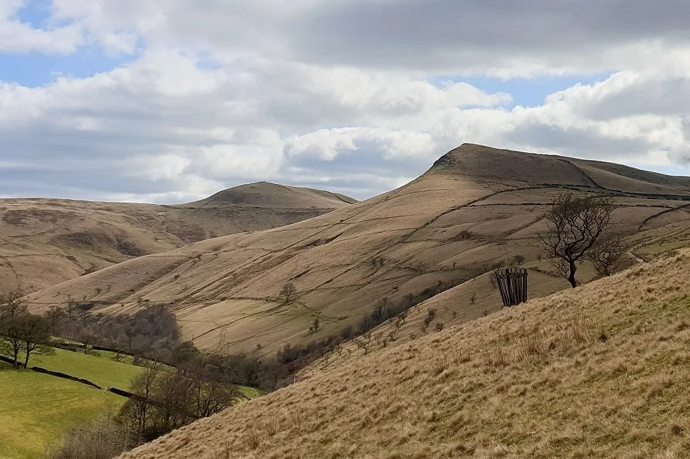
South Head
South Head — Named summit at 494 m.

Wikimedia Commons contributors — see linked file page for photographer and licence licence
Plan your visit
- Typical visit
- 3 h–8 h
- Best time of year
- Late spring – early autumn (May–Oct)
- Nearest railway station
- Chinley · 3.0 km
- Free entry
- Dog-friendly
About
South Head is a named summit in the United Kingdom. Wikidata describes it as: "Named summit at 494 m.". Coordinates: 53.3579°, -1.9098°.
Photo gallery
Protected designations
- Site of Special Scientific Interest: Dark Peak SSSI
Designations sourced from Natural England open data under OGL v3.
From the Wikipedia article
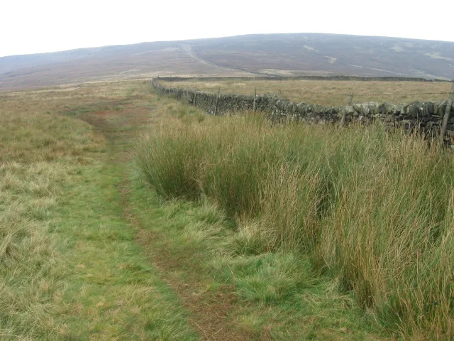
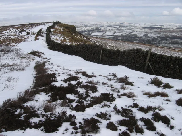
South Head is a gritstone hill between the villages of Hayfield and Chinley in the Derbyshire Peak District. The summit is 494 metres (1,621 ft) above sea level. It lies at the south of the head of the River Sett. The hilltop area was acquired by the National Trust in the 1980s and is designated as access land for the public. South Head farmstead was recorded in the 1640 plans of the waste and commons of Hayfield. The Pennine Bridleway runs along the north and east sides of South Head. Since 2005, there has been an annual fell race each May from Hayfield around Mount Famine and South Head. South Head is one of the 95 Ethels hills of the Peak District, launched by the countryside charity CPRE in 2021.
Excerpt from Wikipedia under CC BY-SA 4.0. See the source article linked in Sources below.
- Coordinates
- 53.3579, -1.9098
- County
- Derbyshire
- District
- High Peak
- Parish
- Chinley, Buxworth and Brownside
- Postcode
- SK23 6AL
- Parliamentary constituency
- High Peak
- Nearest railway station
- Chinley — 3 km
Sources
- osm: n3142416878 (ODbL)
- wikipedia: South Head (Peak District) (CC BY-SA 4.0)
- commons: South Head - geograph.org.uk - 4447803.jpg (CC BY-SA 4.0)
Other places nearby
Loading nearby places…
Nearby
 📷 3
📷 3Mountains & hills · East Midlands
Mount Famine
Mount Famine — Named summit at 473 m.
Campsites · East Midlands
chapel view campsite
chapel view campsite — a campsite in england east midlands.
 📷 3
📷 3Memorials & monuments · East Midlands
Edale Cross
Edale Cross — a memorial in england-east-midlands, United Kingdom.
 📷 3
📷 3Mountains & hills · East Midlands
Brown Knoll
Brown Knoll — Named summit at 569 m.
 📷 3
📷 3Burial mounds & barrows · East Midlands
Kinder Low Bowl Barrow
Kinder Low Bowl Barrow — a burial mound in england-east-midlands, United Kingdom.
Campsites · East Midlands
Chinley Camping
Chinley Camping — a campsite in england east midlands.
More mountains in this region
 📷 3
📷 3Mountains & hills · East Midlands
Axe Edge Moor
Axe Edge Moor — Named summit at 551 m.
Mountains & hills · East Midlands
Beacon Hill
Beacon Hill — Named summit at 244.5 m.
Mountains & hills · East Midlands
Beacon Hill
Beacon Hill — Named summit at 105 m.
 📷 3
📷 3Mountains & hills · East Midlands
Black Edge - Summit
Black Edge - Summit — Named summit at 506.7 m.
Frequently asked questions
- Where is South Head?
- South Head is in Derbyshire, the East Midlands, United Kingdom (postcode SK23 6AL), in the parish of Chinley, Buxworth and Brownside.
- Is South Head a protected site?
- Yes — South Head is part of the Dark Peak SSSI Site of Special Scientific Interest.
- Is South Head free to visit?
- Yes, South Head is free to enter.
- How do I get to South Head?
- The nearest railway station is Chinley, about 3.0 km away. Drivers can navigate to postcode SK23 6AL.