Canals · East Midlands
South Forty-Foot Drain
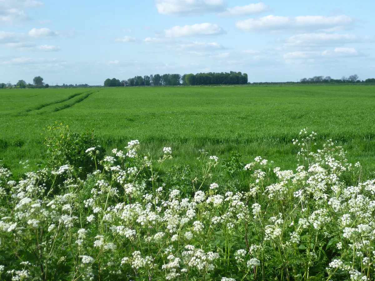
South Forty-Foot Drain — drainage canal in eastern England.

Wikimedia Commons contributors — see linked file page for photographer and licence licence
Plan your visit
- Typical visit
- 1 h–2 h
- Free entry
- Dog-friendly
About
South Forty-Foot Drain is a canal in the United Kingdom. Wikidata describes it as: "drainage canal in eastern England". Coordinates: 52.8494°, -0.2757°.
Photo gallery
From the Wikipedia article
The South Forty-Foot Drain, also known as the Black Sluice Navigation, is the main channel for the land-drainage of the Black Sluice Level in the Lincolnshire Fens. It lies in eastern England between Guthram Gowt and the Black Sluice pumping station on The Haven, at Boston. The Drain has its origins in the 1630s, when the first scheme to make the Fen land available for agriculture was carried out by the Earl of Lindsey, and has been steadily improved since then. Water drained from the land entered The Haven by gravity at certain states of the tide until 1946, when the Black Sluice pumping station was commissioned. The Drain was navigable until 1971, when improvements to the pumping station led to the entrance lock being removed. It is currently being upgraded to navigable status by the Environment Agency, as part of the Fens Waterways Link, with a new entrance lock being completed in December 2008, giving access to the first 12 miles (19 km) of the drain, and the upgrading of the southern section, including a link to the River Glen to allow navigation to Spalding forming phase 2 of the project.
Excerpt from Wikipedia under CC BY-SA 4.0. See the source article linked in Sources below.
Background
History
The Lincolnshire Fens are an area of low-lying land which have been subject to flooding and attempts to prevent it for centuries. In medieval times, the Midfen Dyke was built to drain the area, but by 1500, this was regarded less as a drain for the land than as a boundary marker between the Parts of Holland and the Parts of Kesteven, two of the three medieval subdivisions of Lincolnshire which functioned as county councils until their abolition in 1974. The first serious attempt to drain the area to the south west of Boston, now known as the Black Sluice Area but formerly known as the Lindsey Level, was from 1635 to 1638, when the Earl of Lindsey agreed with the Commissioners of Sewers for…
Sourced from Wikipedia under CC BY-SA 4.0.
- Coordinates
- 52.8494, -0.2757
- County
- Lincolnshire
- District
- South Kesteven
- Parish
- Dowsby
- Postcode
- PE10 0TX
- Parliamentary constituency
- Grantham and Bourne
- Established
- 1770
Sources
- wikidata: Q7567307 (CC0)
- wikipedia: South Forty-Foot Drain (CC BY-SA 4.0)
- commons: South Forty Foot Drain from Neslam Bridge, Pointon, Lincolnshire, England..jpg (CC BY-SA 4.0)
Other places nearby
Loading nearby places…
Nearby
 📷 3
📷 3Archaeological sites · East Midlands
Settlement between Long Drove and Dowsby Drain
Settlement between Long Drove and Dowsby Drain — archaeological site in Rippingale, South Kesteven, England, UK.
 📷 5
📷 5Historic churches · East Midlands
Dowsby
Dowsby — a church in england-east-midlands, United Kingdom.
 📷 3
📷 3Historic houses · East Midlands
Dowsby Hall
Dowsby Hall — historic site in near Bourne, Lincolnshire, England, UK.
Campsites · East Midlands
The Paddocks CL
The Paddocks CL — a campsite in england east midlands.
 📷 3
📷 3Archaeological sites · East Midlands
Sempringham Hall
Sempringham Hall — a archaeological in england-east-midlands, United Kingdom.
 📷 3
📷 3Memorials & monuments · East Midlands
Rippingale village cross
Rippingale village cross — a Grade II*-listed memorial in england-east-midlands, United Kingdom.
More places in this region
 📷 5
📷 5Canals · East Midlands
Black Sluice
Black Sluice is a canal in the United Kingdom.
 📷 3
📷 3Canals · East Midlands
Bond End Canal
Bond End Canal — canal in Staffordshire, England, 1775–1874.
 📷 3
📷 3Canals · East Midlands
Catchwater Drain
Catchwater Drain — artificial watercourse in Lincolnshire, England.
 📷 3
📷 3Canals · East Midlands
Charnwood Forest Canal
Charnwood Forest Canal is a canal in the United Kingdom.
Frequently asked questions
- Where is South Forty-Foot Drain?
- South Forty-Foot Drain is in Lincolnshire, the East Midlands, United Kingdom (postcode PE10 0TX), in the parish of Dowsby.
- When was South Forty-Foot Drain built?
- Built or established in 1770.
- Is South Forty-Foot Drain free to visit?
- Yes, South Forty-Foot Drain is free to enter.
- How do I get to South Forty-Foot Drain?
- Drivers can navigate to postcode PE10 0TX. It sits within the Grantham and Bourne parliamentary constituency.