
Towns & cities · East of England
Snettisham
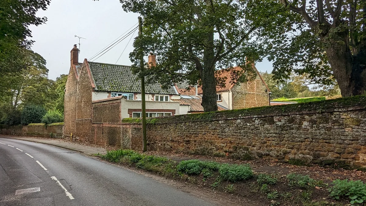
Snettisham — village and civil parish in King's Lynn and West Norfolk, United Kingdom.

Wikimedia Commons contributors — see linked file page for photographer and licence licence

Plan your visit
- Typical visit
- 3 h–6 h
- Free entry
- Family-friendly
- Dog-friendly
Getting there & planning your visit
Snettisham is located in Norfolk, with the postcode PE31. Entry to the town is free. There is no nearest railway station mentioned, so please plan your visit accordingly.
About
Snettisham is a town, city, village or settlement in the United Kingdom. It covers approximately 28 km². Recent population estimates put it at around 2,374 people. Address: PE31. Wikidata describes it as: "village and civil parish in King's Lynn and West Norfolk, United Kingdom". Coordinates: 52.8771°, 0.5024°.
Photo gallery
Protected designations
- Site of Special Scientific Interest: The Wash SSSI
- Area of Outstanding Natural Beauty: Norfolk Coast
- Ramsar wetland: The Wash
Designations sourced from Natural England open data under OGL v3.
From the Wikipedia article
Snettisham is a village and civil parish in the English county of Norfolk. It is located near the west coast of Norfolk, some 5 miles (8.0 km) south of the seaside resort of Hunstanton, 9 miles (14 km) north of the town of King's Lynn and 45 miles (72 km) northwest of the city of Norwich.
Excerpt from Wikipedia under CC BY-SA 4.0. See the source article linked in Sources below.
- Coordinates
- 52.8771, 0.5024
- County
- Norfolk
- District
- King's Lynn and West Norfolk
- Parish
- Snettisham
- Postcode
- PE31
- Parliamentary constituency
- North West Norfolk
- Population
- 2,374
Sources
- wikidata: Q999768 (CC0)
- wikipedia: Snettisham (CC BY-SA 4.0)
- commons: St Mary, Snettisham - geograph.org.uk - 1163230.jpg (CC BY-SA 4.0)
Featured in this guide
Other places nearby

Snettisham War Memorial
Memorials & monuments · 0.2 km

The Queen Victoria
Campsites · 0.4 km

Snettisham
Caravan parks · 0.6 km

The Mill
Mills · 0.7 km

Snettisham Village Sign
Public art & sculpture · 0.7 km

shrine at Ken Hill, Snettisham
Follies · 1.0 km

Snettisham Park
Parks · 1.1 km

Ingoldisthorpe Village Sign
Public art & sculpture · 1.3 km

Ingoldisthorpe
Villages · 1.4 km

Cross in St Michael and All Angels' churchyard
Historic churches · 1.4 km
Hall Farm CL
Caravan parks · 1.6 km
Brickley Wood CL
Caravan parks · 1.7 km
Snettisham is a village located in Norfolk, within the East Midlands region, with a population of 2,374. Our guide lists several nearby attractions within reach.
At a glance
- Population
- 2,374
- Administrative county
- Norfolk
- Constituency
- North West Norfolk
- Top categories near here
Things to see in Snettisham
99 attractions within 12 km — showing the 24 most editorially-significant. Full guide: things to do in Snettisham →
 📷 3
📷 3 📷 3
📷 3Chapels · East of England
Chapel of St Andrew
Chapel of St Andrew — ruins of chapel in Old Hunstanton, Norfolk, England, UK.
 📷 3
📷 3Memorials & monuments · East of England
Cross on the Green
Cross on the Green is a memorial in the United Kingdom.
 📷 3
📷 3Viewpoints · East of England
Dersingham Bogs Clifftop View
Dersingham Bogs Clifftop View is a viewpoint in the United Kingdom.
 📷 3
📷 3Wildlife reserves · East of England
Holme Bird Observatory
Holme Bird Observatory — bird observatory in the British Isles.
 📷 3
📷 3Forests & woodlands · East of England
Holme Bird Observatory
Holme Bird Observatory is a forest or woodland in the United Kingdom.
 📷 5
📷 5Parks · East of England
Holme Dunes
Holme Dunes — nature reserve near Holme-next-the-Sea in Norfolk, England.
 📷 3
📷 3Lighthouses · East of England
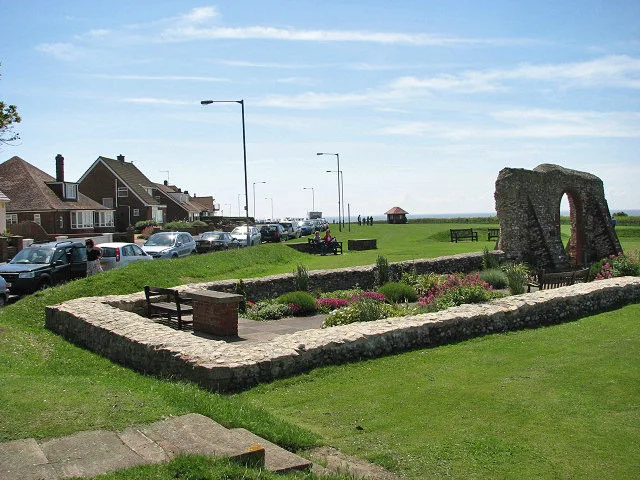
Light on Chapel of St Edmund
Light on Chapel of St Edmund is a lighthouse in the United Kingdom.
 📷 5
📷 5Lighthouses · East of England
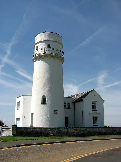
Old Hunstanton Lighthouse
Old Hunstanton Lighthouse — lighthouse in Hunstanton, King's Lynn and West Norfolk, Norfolk, England, UK.
 📷 3
📷 3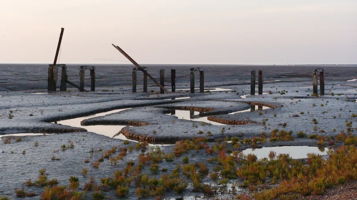 📷 3
📷 3Wildlife reserves · East of England
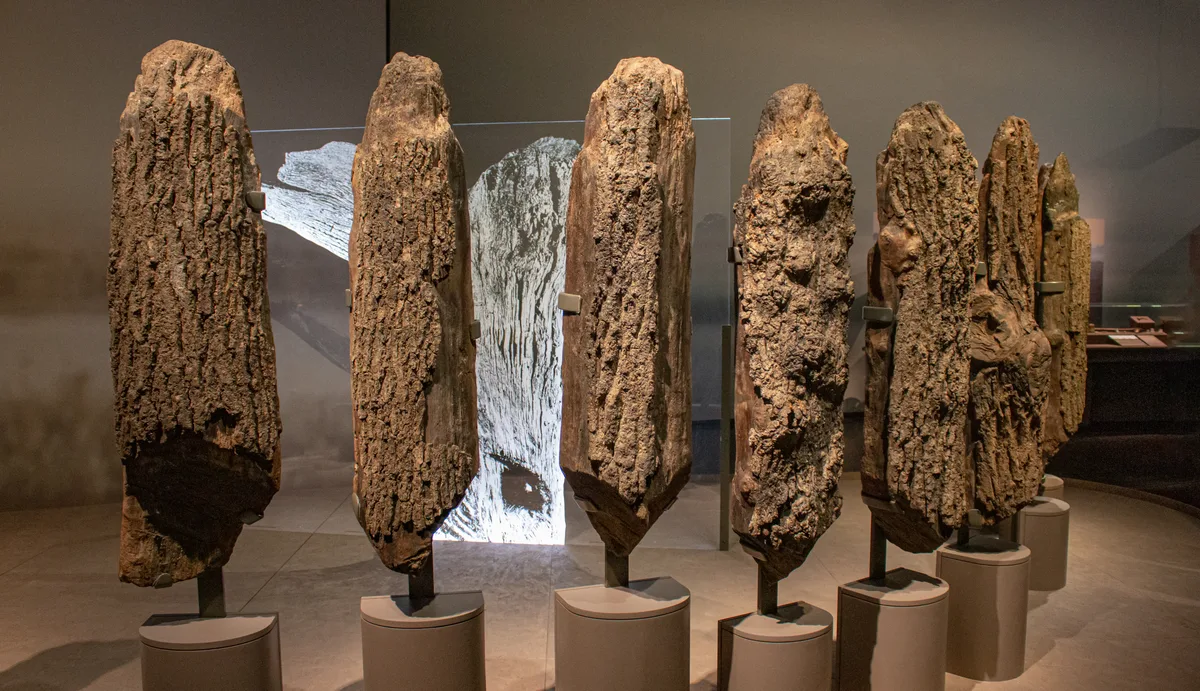
Snettisham RSPB reserve
Snettisham RSPB reserve — RSPB nature reserve in the United Kingdom.
📷 3Mills · East of England
The Mill
The Mill — mill in Snettisham, King's Lynn and West Norfolk, England, UK.
 📷 3
📷 3Theatres · East of England
The Princess Theatre
The Princess Theatre is a theatre in the United Kingdom.
 Flagship📷 3
Stately homes · East of England
Wethered Manor
Wethered Manor — manor house in Sedgeford, King's Lynn and West Norfolk, Norfolk, England, UK.
 📷 3
📷 3Wildlife reserves · East of England
Wild Ken Hill
Wild Ken Hill — regenerative agriculture project in Norfolk, England.
 📷 3
📷 3Natural landmarks · East of England
Searles Sea Tours
Searles Sea Tours — a other in england-east-midlands, United Kingdom.
 📷 3
📷 3Natural landmarks · East of England
The Royal Station
The Royal Station — a other in england-east-midlands, United Kingdom.
 📷 3
📷 3Natural landmarks · East of England
Norfolk Lavender
Norfolk Lavender — a other in england-east-midlands, United Kingdom.
📷 3Parks · East of England
Snettisham Park
Snettisham Park — a other in england-east-midlands, United Kingdom.
 📷 3
📷 3Archaeological sites · East of England
Anglo Saxon Kilns
Anglo Saxon Kilns — a archaeological in england-east-midlands, United Kingdom.
 📷 3
📷 3Archaeological sites · East of England
The Boneyard
The Boneyard — a archaeological in england-east-midlands, United Kingdom.
📷 3Archaeological sites · East of England
Anglo Saxon settlement
Anglo Saxon settlement — a archaeological in england-east-midlands, United Kingdom.
 📷 3
📷 3Historic houses · East of England
Chapel of Saint Edmund
Chapel of Saint Edmund — a historic house in england-east-midlands, United Kingdom.
 📷 3
📷 3Museums · East of England
Hunstanton Heritage Centre
Hunstanton Heritage Centre — a museum in england-east-midlands, United Kingdom.
Nearby
📷 3Memorials & monuments · East of England
Snettisham War Memorial
Snettisham War Memorial — Grade II listed building-listed memorial in england-east-midlands, United Kingdom.
📷 5Campsites · East of England
The Queen Victoria
The Queen Victoria — a campsite in england east midlands.
📷 5📷 3Mills · East of England
The Mill
The Mill — mill in Snettisham, King's Lynn and West Norfolk, England, UK.
📷 3Public art & sculpture · East of England
Snettisham Village Sign
Snettisham Village Sign — a public art in england-east-midlands, United Kingdom.
📷 5Follies · East of England
shrine at Ken Hill, Snettisham
shrine at Ken Hill, Snettisham — a temple folly in england-east-midlands, United Kingdom.
Where to eat & stay near Snettisham
Places to stay
📷 5Campsites · East of England
The Queen Victoria
The Queen Victoria — a campsite in england east midlands.
📷 5📷 5Caravan parks · East of England
Hall Farm CL
Hall Farm CL — a caravan park in england east midlands.
📷 5Caravan parks · East of England
Brickley Wood CL
Brickley Wood CL — a caravan park in england east midlands.
 📷 5
📷 5Caravan parks · East of England
Diglea Holiday Park
Diglea Holiday Park — a caravan park in england east midlands.
 📷 5
📷 5Caravan parks · East of England
Long Acres Holiday Home Park
Long Acres Holiday Home Park — a caravan park in england east midlands.
Places to eat & drink
 📷 5
📷 5Historic pubs · East of England
The Hare Public House
The Hare Public House in England East, United Kingdom.
 📷 5
📷 5Restaurants · East of England
The Lifeboat Inn
The Lifeboat Inn — a restaurant in england east midlands.
 📷 7
📷 7 📷 5
📷 5 📷 5
📷 5 📷 5
📷 5Historic pubs · East of England
Globe Hotel
Globe Hotel in England East, United Kingdom.
More towns in this region
 Flagship📷 10
 Flagship📷 10
Towns & cities · East of England
Cambridge
Cambridge — city in Cambridgeshire, England.
 Flagship📷 10
Towns & cities · East of England
Chelmsford
Chelmsford — city in Essex, United Kingdom.
 Flagship📷 10
Towns & cities · East of England
Colney Heath
Colney Heath — village and civil parish in St Albans, Hertfordshire, England, UK.
Frequently asked questions
- Where is Snettisham?
- Snettisham is in Norfolk, the East Midlands, United Kingdom (postcode PE31), in the parish of Snettisham.
- What is Snettisham?
- Snettisham — village and civil parish in King's Lynn and West Norfolk, United Kingdom.
- How do I get to Snettisham?
- Drivers can use postcode PE31.
- Is Snettisham a protected site?
- Yes — Snettisham is part of the The Wash SSSI Site of Special Scientific Interest and the Norfolk Coast National Landscape (AONB).
- Is Snettisham free to visit?
- Yes, Snettisham is free to enter.
- How do I get to Snettisham?
- Drivers can navigate to postcode PE31. It sits within the North West Norfolk parliamentary constituency.