
Hill forts · East of England
Seahenge
In or near Snettisham.
Seahenge — Early Bronze Age archaeological site, Norfolk.

Wikimedia Commons contributors — see linked file page for photographer and licence licence

Plan your visit
- Typical visit
- 1 h–2 h
- Free entry
- Dog-friendly
About
Seahenge is a hill fort in the United Kingdom. Wikidata describes it as: "Early Bronze Age archaeological site, Norfolk". Coordinates: 52.9681°, 0.5214°.
Photo gallery
Protected designations
- Site of Special Scientific Interest: North Norfolk Coast SSSI
- Area of Outstanding Natural Beauty: Norfolk Coast
- Ramsar wetland: North Norfolk Coast
Designations sourced from Natural England open data under OGL v3.
From the Wikipedia article
Seahenge, also known as Holme I, was a prehistoric monument located in the village of Holme-next-the-Sea, near Old Hunstanton in the English county of Norfolk. A timber circle with an upturned tree root in the centre, Seahenge, along with the nearby timber circle Holme II, was built in the spring-summer of 2049 BC, during the early Bronze Age in Britain. Contemporary theory is that they were used for ritual purposes; in particular Holme II has been interpreted as a mortuary monument that may originally have formed the boundary of a burial mound. In order to preserve the timber in the site from exposure to air, due to recent exposure of the remains by the sea, it was excavated in spring 1999, and its remains taken to an archeological museum and then a maritime museum for preservation of the wood. In 1999, a reproduction was put up by some of the excavators, near the site. In 2008, after further study, a second reproduction was erected near the original's location. Due to controversy about the excavation of Seahenge, Holme II was left in place to be monitored as it is gradually destroyed by erosion.
Excerpt from Wikipedia under CC BY-SA 4.0. See the source article linked in Sources below.
Background
Architecture
Seahenge was constructed during the early Bronze Age, a period of time that saw the increasing adoption of agriculture and sedentary living in Britain. Those constructing the monument made use of at least fifty different bronze axes, which were used to shape the timber to the desired lengths and shapes, at a time when, archaeologists believe, bronze tools were still relatively rare and had only been introduced into Britain a few centuries before. According to writer Watson (2005) "Confirming that all the trees had been felled at the same time suggested strongly that the building of the circle was a single event. Further, a great amount of work would have been involved in felling,…
Description
The site consisted of an outer ring comprising 55 small split oak trunks forming a roughly circular enclosure around 7 by. Rather than being placed in individual holes, the timbers had been arranged around a circular construction trench. Their split sides faced inwards and their bark faced outwards (with one exception where the opposite is the case). One of the trunks on the south western side had a narrow Y fork in it, permitting access to the central area. Another post had been placed outside this entrance, which would have prevented anyone from seeing inside. The timbers were set in ground to a depth of 1 m from the contemporary surface; although how far they originally extended upwards…
Visiting
Jean-Jacques Burnel, bassist of the Stranglers, was living in Holme-next-the-Sea at the time of the discovery. The monument inspired him to write the songs on the band's 2004 album Norfolk Coast. Seahenge provides the inspiration for a timber circle depicted in Catherine Fisher's 2005 novel Darkhenge. Fisher discusses a prehistoric monument featuring an upturned oak tree surrounded by 24 timbers, each symbolising one of the characters in the ogham tree alphabet. This circle, known as Darkhenge, is described as being located at Avebury in Wiltshire and is portrayed as being the portal to Annwyn, the underworld of Welsh mythology. Seahenge can be visited in the 2020 video game Assassin's…
Sourced from Wikipedia under CC BY-SA 4.0.
- Coordinates
- 52.9681, 0.5214
- County
- Norfolk
- District
- King's Lynn and West Norfolk
- Parish
- Holme next the Sea
- Postcode
- PE36 6LQ
- Parliamentary constituency
- North West Norfolk
Sources
- wikidata: Q606492 (CC0)
- wikipedia: Seahenge (CC BY-SA 4.0)
- commons: Seahenge.jpg (CC BY-SA 4.0)
Other places nearby

Riverside Caravan Park
Caravan parks · 0.7 km

Holme next the Sea
Villages · 1.2 km

Holme-next-the-Sea War Memorial
Memorials & monuments · 1.5 km

Holme Next-the-Sea Village Sign
Public art & sculpture · 1.6 km

Newholm Nurseries
Campsites · 2.0 km

Holme Dunes
Parks · 2.1 km

Le Strange Arms hotel
Hotels · 2.1 km

Princess Theatre
Theatres · 2.1 km
Old Hunstanton Village Sign
Public art & sculpture · 2.2 km

Old Hunstanton Old Church Mound
Castles · 2.2 km

Holme Bird Observatory
Wildlife reserves · 2.2 km

Holme Bird Observatory
Forests & woodlands · 2.5 km
Nearby
📷 5Caravan parks · East of England
Riverside Caravan Park
Riverside Caravan Park — a caravan park in england east midlands.
📷 5Villages · East of England
Holme next the Sea
Holme next the Sea — a village in england east midlands.
📷 3Memorials & monuments · East of England
Holme-next-the-Sea War Memorial
Holme-next-the-Sea War Memorial — Grade II listed building-listed memorial in england-east-midlands, United Kingdom.
📷 3Public art & sculpture · East of England
Holme Next-the-Sea Village Sign
Holme Next-the-Sea Village Sign — a public art in england-east-midlands, United Kingdom.
📷 5Campsites · East of England
Newholm Nurseries
Newholm Nurseries — a campsite in england east midlands.
📷 5Parks · East of England
Holme Dunes
Holme Dunes — nature reserve near Holme-next-the-Sea in Norfolk, England.
Where to eat & stay near Seahenge
Places to stay
📷 5Caravan parks · East of England
Riverside Caravan Park
Riverside Caravan Park — a caravan park in england east midlands.
📷 5Campsites · East of England
Newholm Nurseries
Newholm Nurseries — a campsite in england east midlands.
📷 5Hotels · East of England
Le Strange Arms hotel
Le Strange Arms hotel — a hotel in england east midlands.
 📷 5
📷 5Caravan parks · East of England
The Lifeboat Caravan Park
The Lifeboat Caravan Park — a caravan park in england east midlands.
 📷 2
📷 2Caravan parks · East of England
The Haven Caravan Park
The Haven Caravan Park — a caravan park in england east midlands.
 📷 5
📷 5Caravan parks · East of England
Manor Park Holiday Village
Manor Park Holiday Village — a caravan park in england east midlands. Brand: Parkdean Resorts.
Places to eat & drink
📷 5Restaurants · East of England
The Lifeboat Inn
The Lifeboat Inn — a restaurant in england east midlands.
 📷 5
📷 5Historic pubs · East of England
The Hare Public House
The Hare Public House in England East, United Kingdom.
 📷 7
📷 7Historic pubs · East of England
Hoste Arms Public House
Hoste Arms Public House in England East, United Kingdom.
 📷 5
📷 5Historic pubs · East of England
The Lord Nelson Public House
The Lord Nelson Public House in England East, United Kingdom.
 📷 7
📷 7 📷 5
📷 5Historic pubs · East of England
White Horse Public House And Adjoining Cottage
White Horse Public House And Adjoining Cottage in England East, United Kingdom.
More places in this region
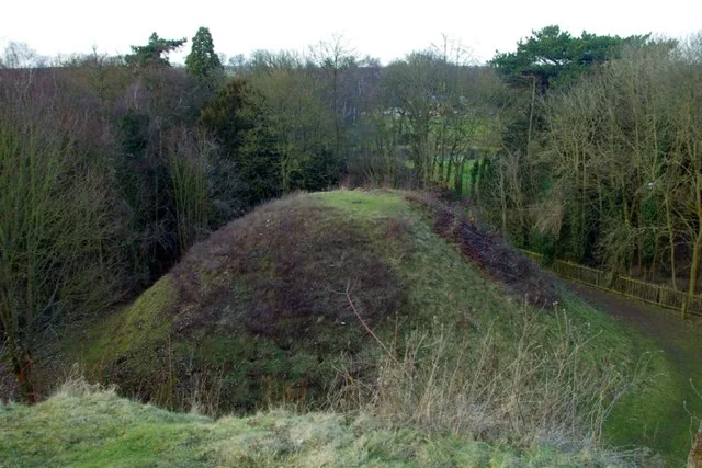 📷 5
📷 5Hill forts · East of England
Bartlow Hills
Bartlow Hills — Roman tumuli cemetery in Bartlow (Cambridgeshire, UK).
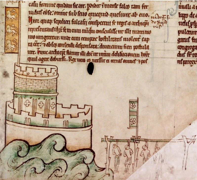 📷 5
📷 5Hill forts · East of England
Bedford Castle
Bedford Castle — castle in Bedfordshire, England, UK.
.jpg?width=1200) 📷 5
📷 5Hill forts · East of England
Beech Bottom Dyke
Beech Bottom Dyke — Iron Age ditch in St Albans, Hertfordshire, England, UK.
 📷 5
📷 5Hill forts · East of England
Braughing Roman Town
Braughing Roman Town — archaeological site in Braughing, East Hertfordshire, England, UK.
Frequently asked questions
- Where is Seahenge?
- Seahenge is in Norfolk, the East Midlands, United Kingdom (postcode PE36 6LQ), in the parish of Holme next the Sea.
- What is Seahenge?
- Seahenge — Early Bronze Age archaeological site, Norfolk.
- How do I get to Seahenge?
- Drivers can use postcode PE36 6LQ.
- Is Seahenge a protected site?
- Yes — Seahenge is part of the North Norfolk Coast SSSI Site of Special Scientific Interest and the Norfolk Coast National Landscape (AONB).
- Is Seahenge free to visit?
- Yes, Seahenge is free to enter.
- How do I get to Seahenge?
- Drivers can navigate to postcode PE36 6LQ. It sits within the North West Norfolk parliamentary constituency.