
Wildlife reserves · East of England
Snape Marshes
In or near Snape.
Snape Marshes — Suffolk Wildlife Trust nature reserve.

Wikimedia Commons contributors — see linked file page for photographer and licence licence

Plan your visit
- Typical visit
- 2 h–4 h
- Best time of year
- Autumn & winter (migration & wildfowl)
- Nearest railway station
- Saxmundham · 5.7 km
- Free entry
- Family-friendly
- Dog-friendly
- Limited wheelchair access
Getting there & planning your visit
To visit Snape Marshes, the nearest railway station is Saxmundham, located 5.7 km away. Entry is free, but please note that wheelchair accessibility is limited. The postcode for sat-nav is IP17 1SE.
About
Snape Marshes is a wildlife reserve in the United Kingdom. Managed by Suffolk Wildlife Trust. Wikidata describes it as: "Suffolk Wildlife Trust nature reserve". Coordinates: 52.1650°, 1.5070°.
Photo gallery
Protected designations
- Site of Special Scientific Interest: Alde-Ore Estuary SSSI
- Area of Outstanding Natural Beauty: Suffolk Coast & Heaths
- Ramsar wetland: Alde-Ore Estuary
Designations sourced from Natural England open data under OGL v3.
From the Wikipedia article
Snape Marshes is a 19.8-hectare (49-acre) nature reserve south-east of Snape in Suffolk. It is owned and managed by the Suffolk Wildlife Trust. The diverse habitats in this reserve include reed-filled marshes, dry heath and mature oak woodland. It has all four reptiles found in the county, adders, common lizards, grass snakes and slowworms. Birds include barn owls, hobbies and marsh harriers, and freshwater dykes provide a habitat for otters. The Sailors' Path from Snape to Aldeburgh goes through the site, but there is only access to footpaths.
Excerpt from Wikipedia under CC BY-SA 4.0. See the source article linked in Sources below.
- Coordinates
- 52.1650, 1.5070
- County
- Suffolk
- District
- East Suffolk
- Parish
- Snape
- Postcode
- IP17 1SE
- Parliamentary constituency
- Suffolk Coastal
- Nearest railway station
- Saxmundham — 5.7 km
Sources
- wikidata: Q7547294 (CC0)
- wikipedia: Snape Marshes (CC BY-SA 4.0)
- commons: Iken Marshes - geograph.org.uk - 664722.jpg (CC BY-SA 4.0)
Other places nearby

Migrant
Public art & sculpture · 0.6 km

RSPB Snape Nature Reserve
Forests & woodlands · 0.6 km

Snape Maltings Concert Hall
Theatres · 0.7 km

Snape Village Sign
Public art & sculpture · 0.7 km

Jerwood Kiln Studio
Theatres · 0.7 km

Britten Studio
Theatres · 0.7 km

Snape
Towns & cities · 0.7 km

Snape RSPB reserve
Wildlife reserves · 0.7 km

Sandlings Walk
Military museums · 1.2 km

Iken Cliff Picnic Site
Natural landmarks · 1.4 km

Alde Mudflats
Wildlife reserves · 1.5 km
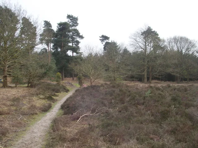
Blaxhall Common
Wildlife reserves · 2.2 km
Nearby
📷 3Public art & sculpture · East of England
Migrant
Migrant — a public art in East of England, United Kingdom.
📷 5Forests & woodlands · East of England
RSPB Snape Nature Reserve
RSPB Snape Nature Reserve is a forest or woodland in the United Kingdom.
📷 5Theatres · East of England
Snape Maltings Concert Hall
Snape Maltings Concert Hall is a theatre in the United Kingdom.
📷 3Public art & sculpture · East of England
Snape Village Sign
Snape Village Sign — a public art in East of England, United Kingdom.
📷 3Theatres · East of England
Jerwood Kiln Studio
Jerwood Kiln Studio is a theatre in the United Kingdom.
📷 3Where to eat & stay near Snape Marshes
Places to stay
 📷 5
📷 5 📷 5
📷 5 📷 5
📷 5Caravan parks · East of England
Whitearch Park. Residential Park Homes
Whitearch Park. Residential Park Homes — a caravan park in england east.
 📷 5
📷 5 📷 5
📷 5 📷 5
📷 5Caravan parks · East of England
Church Farm Holiday Park
Church Farm Holiday Park — a caravan park in england east.
Places to eat & drink
 📷 7
📷 7Historic pubs · East of England
George and Dragon, Farnham
George and Dragon, Farnham in England East, United Kingdom.
 📷 7
📷 7Historic pubs · East of England
The Parrot And Punchbowl Public House
The Parrot And Punchbowl Public House in England East, United Kingdom.
 📷 7
📷 7Historic pubs · East of England
The Lion, Little Glemham
The Lion, Little Glemham in England East, United Kingdom.
 📷 7
📷 7Historic pubs · East of England
The Jolly Sailor Public House
The Jolly Sailor Public House in England East, United Kingdom.
 📷 5
📷 5 📷 6
📷 6Historic pubs · East of England
The Swan, Peasenhall
The Swan, Peasenhall in England East, United Kingdom.
More places run by Suffolk Wildlife Trust
Flagship📷 3Wildlife reserves · East of England
Alde Mudflats
Alde Mudflats — Suffolk Wildlife Trust nature reserve.
 📷 5
📷 5Wildlife reserves · East of England
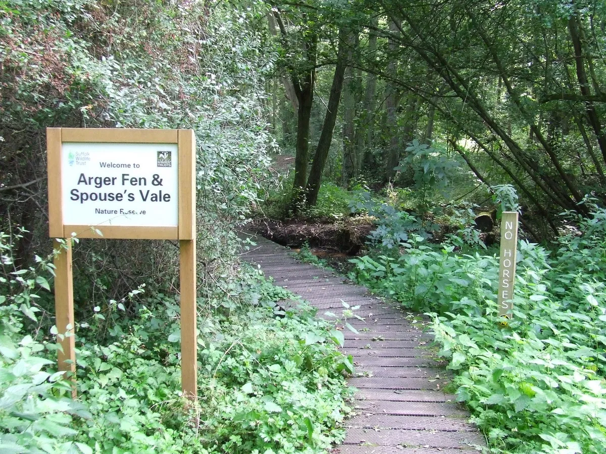
Arger Fen
Arger Fen — Suffolk Wildlife Trust nature reserve.
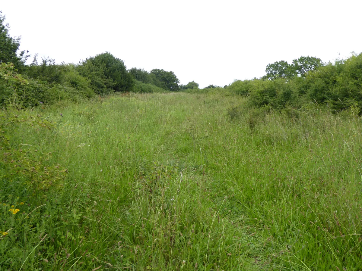 Flagship📷 5
Wildlife reserves · East of England
Black Bourn Valley
Black Bourn Valley — Suffolk Wildlife Trust nature reserve.
📷 3Wildlife reserves · East of England
Blaxhall Common
Blaxhall Common — Suffolk Wildlife Trust nature reserve.
More places in this region
 Flagship📷 10
Wildlife reserves · East of England
Amwell Quarry
Amwell Quarry — nature reserve in United Kingdom.
 Flagship📷 10
Wildlife reserves · East of England
Aubrey Buxton Nature Reserve
Aubrey Buxton Nature Reserve — Essex Wildlife Trust Nature reserve.
 Flagship📷 10
Wildlife reserves · East of England
Canvey Wick
Canvey Wick — nature reserve in Essex, United Kingdom.
 Flagship📷 10
Wildlife reserves · East of England
Crowsheath Wood
Crowsheath Wood — Essex Wildlife Trust Nature reserve.
Frequently asked questions
- Where is Snape Marshes?
- Snape Marshes is in Suffolk, East of England, United Kingdom (postcode IP17 1SE), in the parish of Snape.
- What is Snape Marshes?
- Snape Marshes — Suffolk Wildlife Trust nature reserve.
- How do I get to Snape Marshes?
- The nearest railway station is Saxmundham, about 5.7 km away. The nearest town is Snape. Drivers can use postcode IP17 1SE.
- Who runs Snape Marshes?
- Snape Marshes is operated by Suffolk Wildlife Trust.
- Is Snape Marshes a protected site?
- Yes — Snape Marshes is part of the Alde-Ore Estuary SSSI Site of Special Scientific Interest and the Suffolk Coast & Heaths National Landscape (AONB).
- Is Snape Marshes free to visit?
- Yes, Snape Marshes is free to enter.
- How do I get to Snape Marshes?
- The nearest railway station is Saxmundham, about 5.7 km away. Drivers can navigate to postcode IP17 1SE.
- Are dogs allowed at Snape Marshes?
- Most wildlife reserves allow dogs on lead only, with restrictions during ground-nesting bird season (March-July). Check signage at the reserve.