
Reservoirs & lochs · North East England
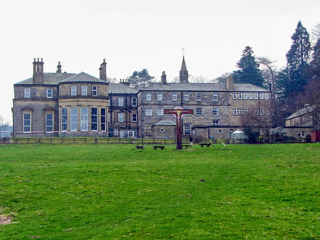
Slaley Hall
In or near Townfield.
Slaley Hall in England North East, United Kingdom.

Steve F — CC BY-SA 2.0 via Wikimedia Commons licence

Plan your visit
- Typical visit
- 1 h–2.5 h
- Nearest railway station
- Riding Mill · 6.5 km
- Free entry
- Dog-friendly
Getting there & planning your visit
To visit Slaley Hall, the nearest railway station is Riding Mill, located 6.5 km away. The postcode for sat-nav is NE47 0BX. Entry to the reservoir is free.
About
Slaley Hall is a place of interest in England North East, United Kingdom — drawn from open-data sources for visitor reference. See the linked Wikipedia article for the full description.
Photo gallery
Protected designations
- Area of Outstanding Natural Beauty: North Pennines
Designations sourced from Natural England open data under OGL v3.
From the Wikipedia article
Slaley Hall is a country house near the village of Slaley and near to the Derwent reservoir. It was built as a hunting and shooting lodge by the Hunting family between 1912-1914. It was then bought by Major Jonathan Lee (Jack) Priestman and Christine Priestman nee Long (formerly of Shotley Park, Shotley Bridge) in 1947. After Mrs Priestman’s death in the mid eighties it was sold and vastly expanded and developed into a hotel and golf resort by local developers Seamus O'Carroll and John Rourke. Slaley hosted The Great North Open between 1996 and 2002. It is surrounded by 1000 acres (4 km2) of Northumberland forest and moorland. It also hosts Weddings, Anniversaries, Parties and Business events in the hotel run by the QHotels Group. It has many facilities including an indoor swimming pool, beauty salon, steam room, sauna, gym, sun beds, Jacuzzi, and driving range. The England Football team have stayed at Slaley Hall for fixtures in the North East of England. The grounds include the Japanese Garden, a rare surviving example of a rock garden. It was designed and laid out before the First World War.
Excerpt from Wikipedia under CC BY-SA 4.0. See the source article linked in Sources below.
- Coordinates
- 54.8960, -2.0160
- District
- Northumberland
- Parish
- Slaley
- Postcode
- NE47 0BX
- Parliamentary constituency
- Hexham
- Nearest railway station
- Riding Mill — 6.5 km
Sources
- wikidata: Q7538533 (CC0)
- wikipedia: Slaley Hall (CC BY-SA 4.0)
Other places nearby

Colpitts Grange
Other places · 0.6 km

Bridge Over Flothers Burn 50 Metres South-East Of Flothers Farmhouse
Historic bridges · 1.8 km

Slaley
Historic churches · 2.4 km

Burnside Bridge
Historic bridges · 2.5 km

ROC Nuclear Bunker
Historic houses · 2.9 km

Springhouse Caravan Park
Caravan parks · 3.1 km
Minsteracres
Abbeys & priories · 3.4 km

Healey
Historic churches · 3.7 km

Ladycross Quarry Nature Reserve
Viewpoints · 3.8 km
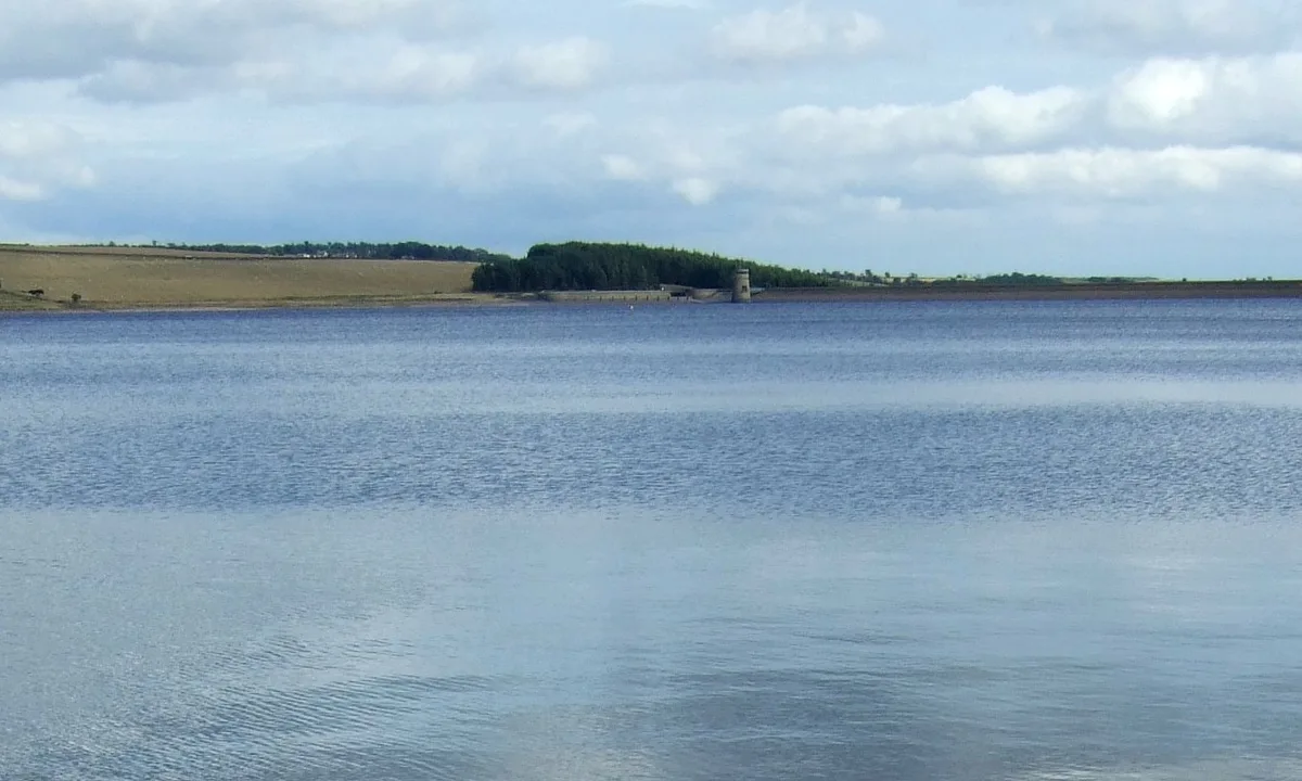
Q1200405
Reservoirs & lochs · 3.9 km

Raptor watchpoint
Viewpoints · 4.0 km

Travellers' Rest Inn
Historic pubs · 4.3 km
Nearby
📷 4Other places · North East England
Colpitts Grange
Colpitts Grange in England North East, United Kingdom.
📷 3Historic bridges · North East England
Bridge Over Flothers Burn 50 Metres South-East Of Flothers Farmhouse
Bridge Over Flothers Burn 50 Metres South-East Of Flothers Farmhouse — Grade II listed building-listed bridge in scotland-lowlands, United Kingdom.
📷 5Historic churches · North East England
Slaley
Slaley in England North East, United Kingdom.
📷 5Historic bridges · North East England
Burnside Bridge
Burnside Bridge — Grade II listed building-listed bridge in scotland-lowlands, United Kingdom.
📷 3Historic houses · North East England
ROC Nuclear Bunker
ROC Nuclear Bunker — a historic house in scotland-lowlands, United Kingdom.
📷 5Caravan parks · North East England
Springhouse Caravan Park
Springhouse Caravan Park — a caravan park in scotland lowlands.
Where to eat & stay near Slaley Hall
Places to stay
📷 5Caravan parks · North East England
Springhouse Caravan Park
Springhouse Caravan Park — a caravan park in scotland lowlands.
 📷 5
📷 5Campsites · North East England
Derwent View
Derwent View — a campsite in scotland lowlands.
📷 5Caravan parks · North East England
Derwent View
Derwent View — a caravan park in scotland lowlands.
 📷 5
📷 5Caravan parks · North East England
Bolbec Manor Campsite
Bolbec Manor Campsite — a caravan park in scotland lowlands.
 📷 5
📷 5Hostels · North East England
Edmundbyers Youth Hostel at Low House Haven
Edmundbyers Youth Hostel at Low House Haven — a hostel in scotland lowlands. Brand: Youth Hostels Association.
📷 5Caravan parks · North East England
Struthers Farm Caravan Site
Struthers Farm Caravan Site — a caravan park in scotland lowlands.
Places to eat & drink
📷 5Historic pubs · North East England
Travellers' Rest Inn
Travellers' Rest Inn in Scotland Lowlands, United Kingdom.
 📷 5
📷 5Cafés · North East England
The White Monk Tearoom
The White Monk Tearoom — a café in scotland lowlands.
 📷 5
📷 5Historic pubs · North East England
The Lord Crewe Arms Hotel
The Lord Crewe Arms Hotel in Scotland Lowlands, United Kingdom.
 📷 5
📷 5Historic pubs · North East England
Wellington Inn
Wellington Inn in Scotland Lowlands, United Kingdom.
 📷 4
📷 4 📷 7
📷 7Historic pubs · North East England
The Vicars Pele
The Vicars Pele in Scotland Lowlands, United Kingdom.
More places in this region
 📷 2
📷 2Reservoirs & lochs · North East England
Balderhead Reservoir
Balderhead Reservoir — reservoir in County Durham, England, UK.
 📷 3
📷 3Reservoirs & lochs · North East England
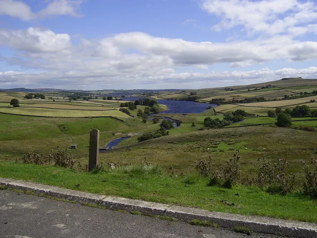
Blackton Reservoir
Blackton Reservoir — reservoir in County Durham, England, UK.
 📷 5
📷 5Reservoirs & lochs · North East England
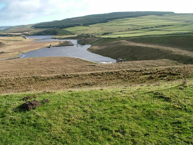
Grassholme Reservoir
Grassholme Reservoir — reservoir in County Durham, England, UK.
 📷 3
📷 3Reservoirs & lochs · North East England
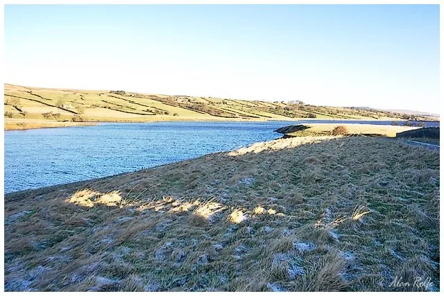
Hury Reservoir
Hury Reservoir — reservoir in County Durham, England, UK.
Frequently asked questions
- Where is Slaley Hall?
- Slaley Hall is in North-East England, United Kingdom (postcode NE47 0BX), in the parish of Slaley.
- What is Slaley Hall?
- Slaley Hall in England North East, United Kingdom.
- How do I get to Slaley Hall?
- The nearest railway station is Riding Mill, about 6.5 km away. Drivers can use postcode NE47 0BX.
- Is Slaley Hall a protected site?
- Yes — Slaley Hall is part of the North Pennines National Landscape (AONB).
- Is Slaley Hall free to visit?
- Yes, Slaley Hall is free to enter.
- How do I get to Slaley Hall?
- The nearest railway station is Riding Mill, about 6.5 km away. Drivers can navigate to postcode NE47 0BX.