
Reservoirs & lochs · North East England
Q1200405
In or near Townfield.
Q1200405 — reservoir on the border between County Durham and Northumberland, in England.

Wikimedia Commons contributors — see linked file page for photographer and licence licence

Plan your visit
- Typical visit
- 1 h–2.5 h
- Nearest railway station
- Riding Mill · 9.2 km
- Free entry
- Dog-friendly
Getting there & planning your visit
To visit the reservoir in County Durham, the nearest railway station is Riding Mill, located 9.2 km away. Entry is free. The postcode for sat-nav is DH8 9PA.
About
Q1200405 is a reservoir in the United Kingdom. Records date its origin to 1967. It covers approximately 4 km². Wikidata describes it as: "reservoir on the border between County Durham and Northumberland, in England". Coordinates: 54.8667°, -1.9833°.
Photo gallery
Protected designations
- Site of Special Scientific Interest: Muggleswick, Stanhope and Edmundbyers Commons and Blanchland Moor SSSI
- Area of Outstanding Natural Beauty: North Pennines
Designations sourced from Natural England open data under OGL v3.
From the Wikipedia article
The Derwent Reservoir is a reservoir on the River Derwent, on the border between County Durham and Northumberland, in England. It is west of Consett. It is 3.5 miles (5.6 km) long) and covers an area of 4 km2 and has a maximum depth of 100 ft (30m) and when full, holds 11,000 million gallons (50,000,000m³). The reservoir is a key part of the water supply network in north east England (which is owned and managed by Northumbrian Water). It is the principal water source for the Tyne and Wear metropolitan area, supplying 28,000,000 imperial gallons (130,000,000 L; 34,000,000 US gal) per day. The reservoir was first proposed in 1957 when the Sunderland and South Shields Water Company promoted the Derwent Water Order. Building work began on the reservoir in 1960, and it was opened in July 1967 by Princess Alexandra. Unlike other reservoirs in Northern England that are flooded valleys with a dam head, Derwent was dug out of the ground and the earth removed was used in its dam head. The flow of the River Derwent can be supplemented, when necessary, by water transferred from the much larger Kielder Water in Northumberland. However, this connection cannot be used to increase the depth of the reservoir itself. Sediment within the reservoir has been found to contain elevated levels of zinc, lead and cadmium. These have drained into the reservoir from areas of historic mining activity around Blanchland. Consequently, populations of macroscopic plants in the reservoir are relatively low. Derwent Reservoir also hosts a sailing club, which holds many events throughout the year, including windsurfing, sailing, running and triathlons. The area around the reservoir hosts the annual Tour of the Reservoir cycle race. The reservoir also has hydro electric plant installed, with a rating of 97 kilowatts.
Excerpt from Wikipedia under CC BY-SA 4.0. See the source article linked in Sources below.
- Coordinates
- 54.8667, -1.9833
- District
- County Durham
- Parish
- Edmondbyers
- Postcode
- DH8 9PA
- Parliamentary constituency
- Bishop Auckland
- Established
- 1967
- Nearest railway station
- Riding Mill — 9.2 km
Sources
- wikidata: Q1200405 (CC0)
- wikipedia: Derwent Reservoir (North East England) (CC BY-SA 4.0)
- commons: Derwent Reservoir, North East England.jpg (CC BY-SA 4.0)
Other places nearby

Pow Hill Bog
Wildlife reserves · 0.6 km

Derwent View
Campsites · 0.8 km
Derwent View
Caravan parks · 0.9 km

Edmundbyers
Reservoirs & lochs · 2.3 km

Burnhope Burn
Reservoirs & lochs · 2.4 km

Edmundbyers Youth Hostel at Low House Haven
Hostels · 2.4 km

Edmondbyers
Villages · 2.4 km
Struthers Farm Caravan Site
Caravan parks · 2.5 km

The Burnside
B&Bs · 2.8 km

Burnhope Linn
Waterfalls · 2.9 km

Bolbec Manor Campsite
Caravan parks · 3.0 km

Swandale Lead Mine
Archaeological sites · 3.4 km
Nearby
📷 4Wildlife reserves · North East England
Pow Hill Bog
Pow Hill Bog in England North East, United Kingdom.
📷 5Campsites · North East England
Derwent View
Derwent View — a campsite in scotland lowlands.
📷 5Caravan parks · North East England
Derwent View
Derwent View — a caravan park in scotland lowlands.
📷 5Reservoirs & lochs · North East England
Edmundbyers
Edmundbyers in England North East, United Kingdom.
📷 4Reservoirs & lochs · North East England
Burnhope Burn
Burnhope Burn in England North East, United Kingdom.
📷 5Hostels · North East England
Edmundbyers Youth Hostel at Low House Haven
Edmundbyers Youth Hostel at Low House Haven — a hostel in scotland lowlands. Brand: Youth Hostels Association.
Where to eat & stay near Q1200405
Places to stay
📷 5Campsites · North East England
Derwent View
Derwent View — a campsite in scotland lowlands.
📷 5Caravan parks · North East England
Derwent View
Derwent View — a caravan park in scotland lowlands.
📷 5Hostels · North East England
Edmundbyers Youth Hostel at Low House Haven
Edmundbyers Youth Hostel at Low House Haven — a hostel in scotland lowlands. Brand: Youth Hostels Association.
📷 5Caravan parks · North East England
Struthers Farm Caravan Site
Struthers Farm Caravan Site — a caravan park in scotland lowlands.
📷 5B&Bs · North East England
The Burnside
The Burnside — a bed-and-breakfast in scotland lowlands.
📷 5Caravan parks · North East England
Bolbec Manor Campsite
Bolbec Manor Campsite — a caravan park in scotland lowlands.
Places to eat & drink
 📷 5
📷 5Historic pubs · North East England
The Lord Crewe Arms Hotel
The Lord Crewe Arms Hotel in Scotland Lowlands, United Kingdom.
 📷 5
📷 5Cafés · North East England
The White Monk Tearoom
The White Monk Tearoom — a café in scotland lowlands.
 📷 5
📷 5Historic pubs · North East England
Travellers' Rest Inn
Travellers' Rest Inn in Scotland Lowlands, United Kingdom.
 📷 4
📷 4 📷 5
📷 5Historic pubs · North East England
Wellington Inn
Wellington Inn in Scotland Lowlands, United Kingdom.
 📷 4
📷 4Historic pubs · North East England
Delves Lane
Delves Lane in England North East, United Kingdom.
Other places from this era
 📷 3
📷 3Reservoirs & lochs · North East England
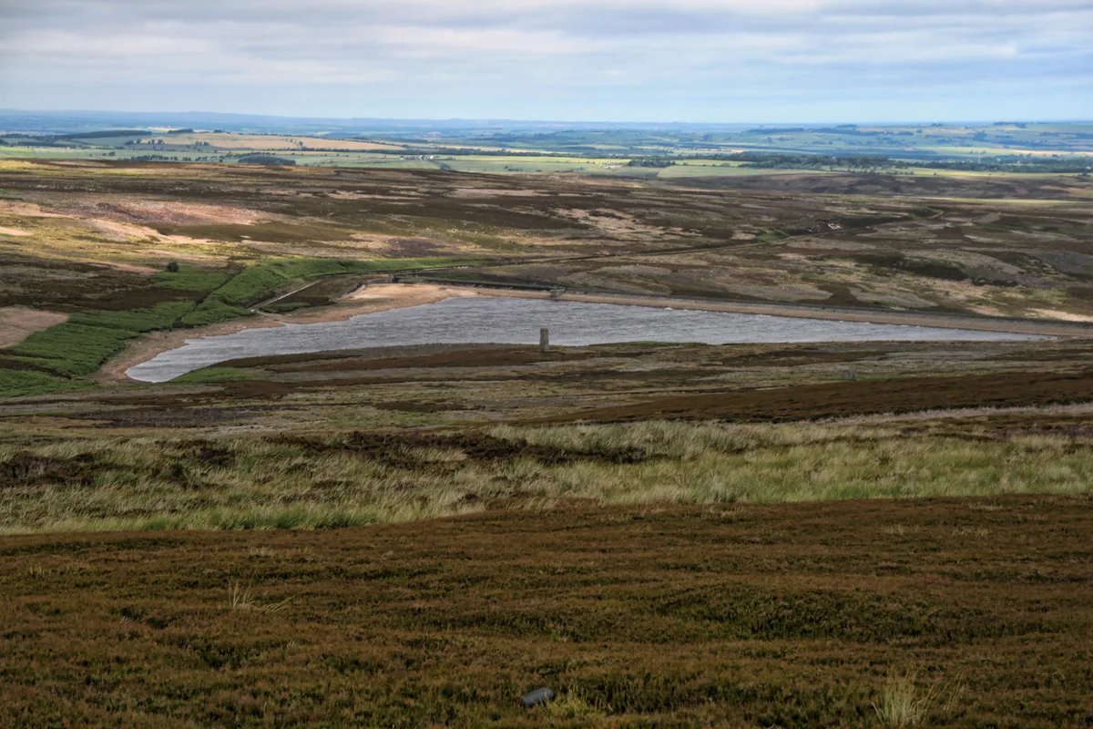
Hisehope Reservoir
Hisehope Reservoir — reservoir in County Durham, England, UK.
 📷 3
📷 3Reservoirs & lochs · Scottish Highlands
Loch Beinn a' Mheadhoin
Loch Beinn a' Mheadhoin — lake in Highland, Scotland, UK; from 1951 extended by damming.
 📷 5
📷 5Reservoirs & lochs · Scottish Highlands
Loch Monar
Loch Monar — freshwater lake expanded in 1963 as a reservoir, in Highland, Scotland, UK, outflows via Garbh-uisge to the River Farrar.
 📷 3
📷 3Reservoirs & lochs · Scottish Lowlands
Clatteringshaws Loch
Clatteringshaws Loch — 1930s artificial freshwater lake in Dumfries and Galloway, Scotland, UK, on the (Galloway) River Dee.
More places in this region
 📷 5
📷 5Reservoirs & lochs · North East England
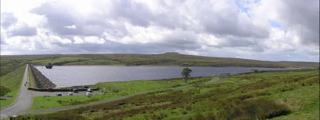
Balderhead Reservoir
Balderhead Reservoir — reservoir in County Durham, England, UK.
 📷 3
📷 3Reservoirs & lochs · North East England
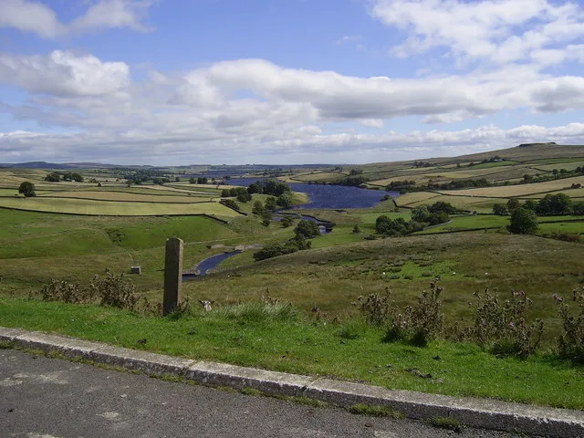
Blackton Reservoir
Blackton Reservoir — reservoir in County Durham, England, UK.
 📷 5
📷 5Reservoirs & lochs · North East England
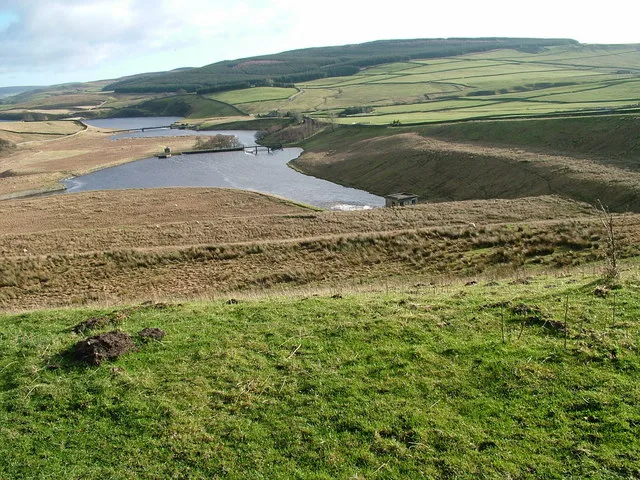
Grassholme Reservoir
Grassholme Reservoir — reservoir in County Durham, England, UK.
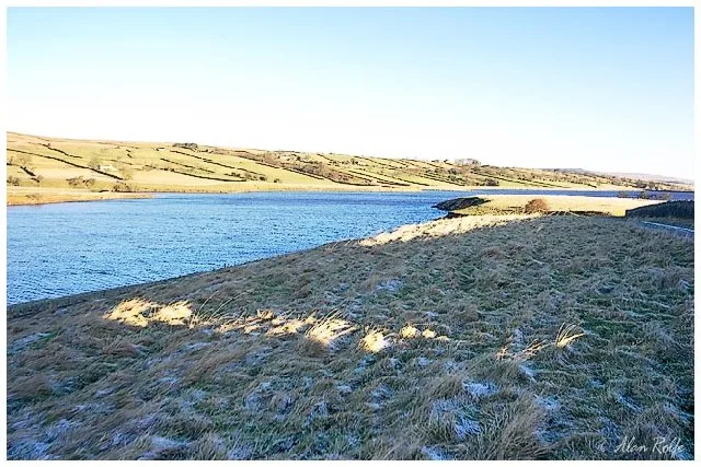 📷 3
📷 3Reservoirs & lochs · North East England
Hury Reservoir
Hury Reservoir — reservoir in County Durham, England, UK.
Frequently asked questions
- Where is Q1200405?
- Q1200405 is in North-East England, United Kingdom (postcode DH8 9PA), in the parish of Edmondbyers.
- What is Q1200405?
- Q1200405 — reservoir on the border between County Durham and Northumberland, in England.
- How do I get to Q1200405?
- The nearest railway station is Riding Mill, about 9.2 km away. The nearest town is Townfield. Drivers can use postcode DH8 9PA.
- When was Q1200405 built?
- Built or established in 1967.
- Is Q1200405 a protected site?
- Yes — Q1200405 is part of the Muggleswick, Stanhope and Edmundbyers Commons and Blanchland Moor SSSI Site of Special Scientific Interest and the North Pennines National Landscape (AONB).
- Is Q1200405 free to visit?
- Yes, Q1200405 is free to enter.
- How do I get to Q1200405?
- Drivers can navigate to postcode DH8 9PA. It sits within the Bishop Auckland parliamentary constituency.