
Islands · South Wales
Skomer Island
Skomer Island is a island in the United Kingdom.

Wikimedia Commons contributors — see linked file page for photographer and licence licence

Plan your visit
- Typical visit
- 4 h–12 h
- Free entry
- Dog-friendly
Getting there & planning your visit
Skomer Island is located in South Wales, with coordinates 51.7375 latitude and -5.295 longitude. Entry to the island is free. There is no nearest railway station or postcode provided, so access may require planning ahead.
About
Skomer Island is a island in the United Kingdom. It covers approximately 3 km². Heritage designation: Site of Special Scientific Interest. Coordinates: 51.7375°, -5.2950°.
Photo gallery
From the Wikipedia article
Skomer (Welsh: Ynys Sgomer) or Skomer Island is an island off the coast of Pembrokeshire, in the community of Marloes and St Brides in west Wales. It is well known for its wildlife: around half the world's population of Manx shearwaters nest on the island, the Atlantic puffin colony is the largest in southern Britain, and the Skomer vole (a subspecies of the bank vole) is unique to the island. Skomer is a national nature reserve, a Site of Special Scientific Interest and a Special Protection Area. It is surrounded by a marine nature reserve and is managed by the Wildlife Trust of South and West Wales. Skomer is known for its archaeological interest: stone circles, standing stone and remains of prehistoric houses. Much of the island has been designated an ancient monument.
Excerpt from Wikipedia under CC BY-SA 4.0. See the source article linked in Sources below.
Background
History
There is evidence of human occupation—field boundaries and settlement remains—dating back to the Iron Age. The Skomer Island Project, run jointly by the Royal Commission for Ancient and Historical Monuments in Wales (RCAHMW) with archaeologists from the University of Sheffield and Cardiff University, started in 2011, investigates the island's prehistoric communities. Airborne laser scanning together with ground excavations continued in 2016 and established that human settlement dates back 5,000 years. Rabbits were introduced in the 14th century and their burrows and grazing have had a profound effect on the island landscape. The farm buildings in the centre of the island, now housing…
Description
The island has an area of . Its highest point is above sea level at Gorse Hill, while the majority of the island sits at around above sea level. Skomer is intersected by a series of slopes and ridges giving it a rich and varied topography. It is approximately from north–south and east–west. The island is almost cut in two near its eastern side by two bays. It is one of several islands lying within 1000 yards (a kilometre) of the Pembrokeshire coast. A number of islets surround Skomer, the largest of which are: Midland Isle (height 50 m) separated from Skomer by Little Sound, Mew Stone (height 60 m) and Garland Stone (height 32 m).
Visiting
The Dale Princess sails to Skomer from Martin's Haven on the mainland, a sheltered 15-minute trip every day (weather dependent) except Monday (Whitsun Bank Holiday Monday excepted) from April to September between 10am and noon (actual times may vary). There are limits on the number of people allowed to visit the island (250 per day). Advance booking is recommended after the introduction of a new visitor management system in 2020. A self-catering hostel with 16 beds is situated at the farm in the centre of the island. Booking opens in October and can only be done by phoning the Tondu office. Overnight guests are brought over on a separate boat trip on the morning of their stay and the hostel…
Sourced from Wikipedia under CC BY-SA 4.0.
- Coordinates
- 51.7375, -5.2950
- Address
- Jack Sound
Sources
- wikidata: Q1351810 (CC0)
- wikipedia: Skomer (CC BY-SA 4.0)
- commons: Skomer Island South Wales.jpg (CC BY-SA 4.0)
Other places nearby

Harold Stone
Archaeological sites · 0.8 km

South Haven, Skomer Island
Marinas · 0.9 km

North Haven, Skomer Island
Marinas · 1.0 km
South Castle, Skomer
Vineyards · 1.1 km

Mew Stone
Mountains & hills · 1.2 km
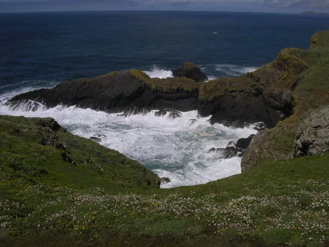
Pigstone Bay
Mountains & hills · 1.3 km

Castle Bay
Natural landmarks · 1.3 km

The Neck
Mountains & hills · 1.5 km
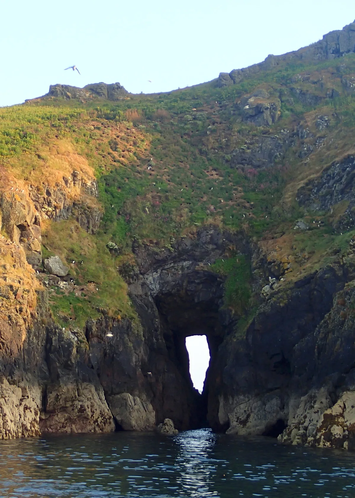
Shag Hole Bay
Mountains & hills · 1.5 km
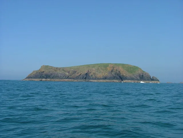
Midland Isle
Islands · 2.2 km

Anchorage, The Knoll (Denham Bank)
Marinas · 3.1 km

Wooltack Point
Vineyards · 3.2 km
Nearby
📷 3Archaeological sites · South Wales
Harold Stone
Harold Stone — an archaeological site in South Wales, United Kingdom.
📷 5Marinas · South Wales
South Haven, Skomer Island
South Haven, Skomer Island — a marina in wales south.
📷 5Marinas · South Wales
North Haven, Skomer Island
North Haven, Skomer Island — a marina in wales south.
📷 5Vineyards · South Wales
South Castle, Skomer
South Castle, Skomer — a UK vineyard in wales south, producing English or Welsh wine from cool-climate grape varieties.
📷 5📷 3Where to eat & stay near Skomer Island
Places to stay
 📷 5
📷 5Campsites · South Wales
West Hook Farm
West Hook Farm — a campsite in wales south.
 📷 5
📷 5 📷 5
📷 5 📷 5
📷 5 📷 4
📷 4Campsites · South Wales
Mill Haven Place
Mill Haven Place — a campsite in wales south.
 📷 5
📷 5Caravan parks · South Wales
Hasguard Cross Caravan Park
Hasguard Cross Caravan Park — a caravan park in wales south.
Places to eat & drink
 📷 5
📷 5 📷 5
📷 5 📷 7
📷 7Restaurants · South Wales
The Lost Coins
The Lost Coins — a restaurant in wales south.
More places in this region
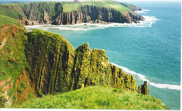 Flagship📷 5
Islands · South Wales
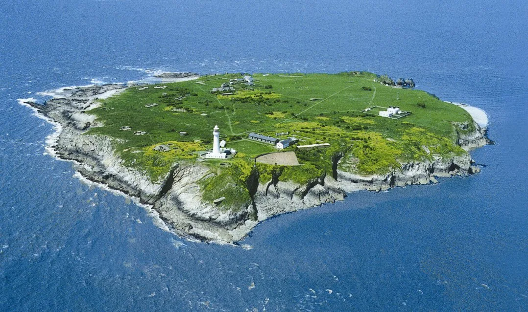
Caldey Island
Caldey Island — small island in Pembrokeshire, Wales, UK.
 Flagship📷 5
Islands · South Wales
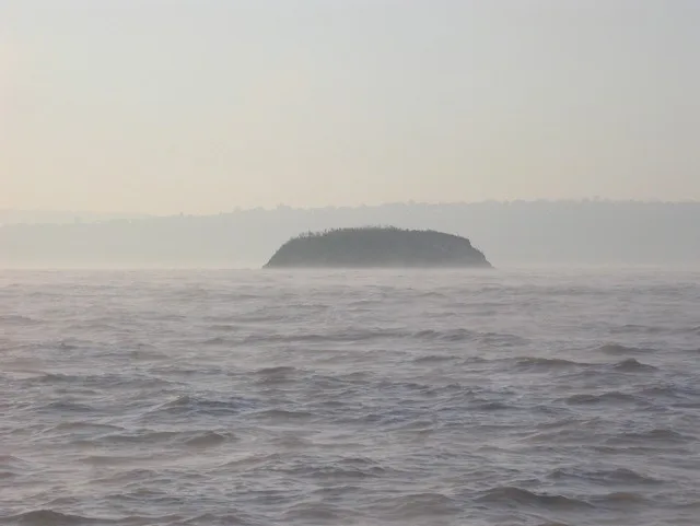
Denny Island
Denny Island — island in the Severn Estuary in Monmouthshire, Wales, United Kingdom.
 📷 5Flagship📷 3
Frequently asked questions
- Where is Skomer Island?
- Skomer Island is in South Wales, United Kingdom.
- What is Skomer Island?
- Skomer Island is a island in the United Kingdom.
- How do I get to Skomer Island?
- Its coordinates are 51.7375°, -5.2950°.
- Is Skomer Island a listed building?
- Skomer Island is officially recognised as Site of Special Scientific Interest listed.
- Is Skomer Island free to visit?
- Yes, Skomer Island is free to enter.