
Archaeological sites · East of England
Site of Romano-British settlement
In or near Cottenham.
Site of Romano-British settlement — an archaeological site in East of England, United Kingdom.

Hugh Venables — CC BY-SA 2.0 via Wikimedia Commons licence

Plan your visit
- Typical visit
- 45 min–1.5 h
- Nearest railway station
- Waterbeach · 3.8 km
- Free entry
- Dog-friendly
About
Site of Romano-British settlement is an archaeological site located in East of England, United Kingdom. Sourced from OpenStreetMap (ODbL licence); see local listings for visitor information, opening hours and admission details.
Photo gallery
Place summary
The Site of Romano-British settlement is an archaeological site located in London. It provides insight into the lives and structures of the Romano-British community in the region. The site is a key location for understanding Britain's historical transition during the Roman occupation.
AI-generated from the structured facts on this page (operator, designation, listing, era). Not a substitute for visiting.
- Coordinates
- 52.2884, 0.1600
- County
- Cambridgeshire
- District
- South Cambridgeshire
- Parish
- Landbeach
- Postcode
- CB25 9PE
- Parliamentary constituency
- Ely and East Cambridgeshire
- Nearest railway station
- Waterbeach — 3.8 km
Sources
- osm: node/11112376553 (ODbL)
Other places nearby
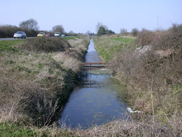
Length of Car Dyke between Green End and Top Moor
Hill forts · 0.7 km

Steeplechase LRP Centre
Campsites · 0.9 km
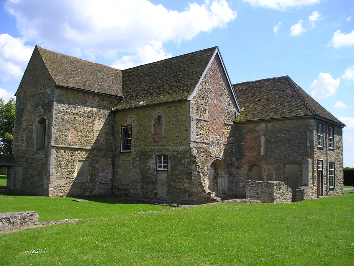
Denny Abbey
Abbeys & priories · 1.9 km

Denny Abbey
Cathedrals · 1.9 km

Denny Abbey and Farmland Museum
Museums · 1.9 km

Lost Acres
Caravan parks · 1.9 km

Site of Limes Farm Romano-British settlement
Archaeological sites · 2.0 km

Church of All Saints
Historic churches · 2.1 km

Chamberlains Manor
Manor houses · 2.3 km

Chequers Public House
Historic pubs · 2.4 km

Bullocks Haste
Archaeological sites · 2.4 km

Cottenham War Memorial
Memorials & monuments · 2.4 km
Nearby
📷 5Hill forts · East of England
Length of Car Dyke between Green End and Top Moor
Length of Car Dyke between Green End and Top Moor — archaeological site in Cottenham, South Cambridgeshire, England, UK.
📷 5Campsites · East of England
Steeplechase LRP Centre
Steeplechase LRP Centre — a campsite in england london.
★ Iconic📷 5Abbeys & priories · East of England
Denny Abbey
Denny Abbey — church in South Cambridgeshire, England, UK.
📷 5Cathedrals · East of England
Denny Abbey
Denny Abbey is a cathedral in the United Kingdom.
📷 5Museums · East of England
Denny Abbey and Farmland Museum
Denny Abbey and Farmland Museum — a museum in East of England, United Kingdom.
📷 5Where to eat & stay near Site of Romano-British settlement
Places to stay
📷 5Campsites · East of England
Steeplechase LRP Centre
Steeplechase LRP Centre — a campsite in england london.
📷 5 📷 5
Caravan parks · East of England
Kingsmead Caravan Park
Kingsmead Caravan Park — a caravan park in england london.
 📷 5
Caravan parks · East of England
Chittering Park Caravan Site
Chittering Park Caravan Site — a caravan park in england london.
 📷 5
Caravan parks · East of England
Cosy Nook Caravan Park
Cosy Nook Caravan Park — a caravan park in england london.
 📷 5
Caravan parks · East of England
Lodeside Mobile Home Park
Lodeside Mobile Home Park — a caravan park in england london.
Places to eat & drink
📷 5Historic pubs · East of England
Chequers Public House
Chequers Public House in England East, United Kingdom.
 📷 5
Historic pubs · East of England
Lion And Lamb Public House
Lion And Lamb Public House in England East, United Kingdom.
 📷 5
Historic pubs · East of England
King William IV Public House
King William IV Public House in England East, United Kingdom.
 📷 5
Restaurants · East of England
Crown & Punchbowl
Crown & Punchbowl — a restaurant in england london.
 📷 5
Historic pubs · East of England
The Plough And Fleece
The Plough And Fleece in England East, United Kingdom.
 📷 7
Historic pubs · East of England
King's Head Public House
King's Head Public House in England East, United Kingdom.
More archaeological sites in this region
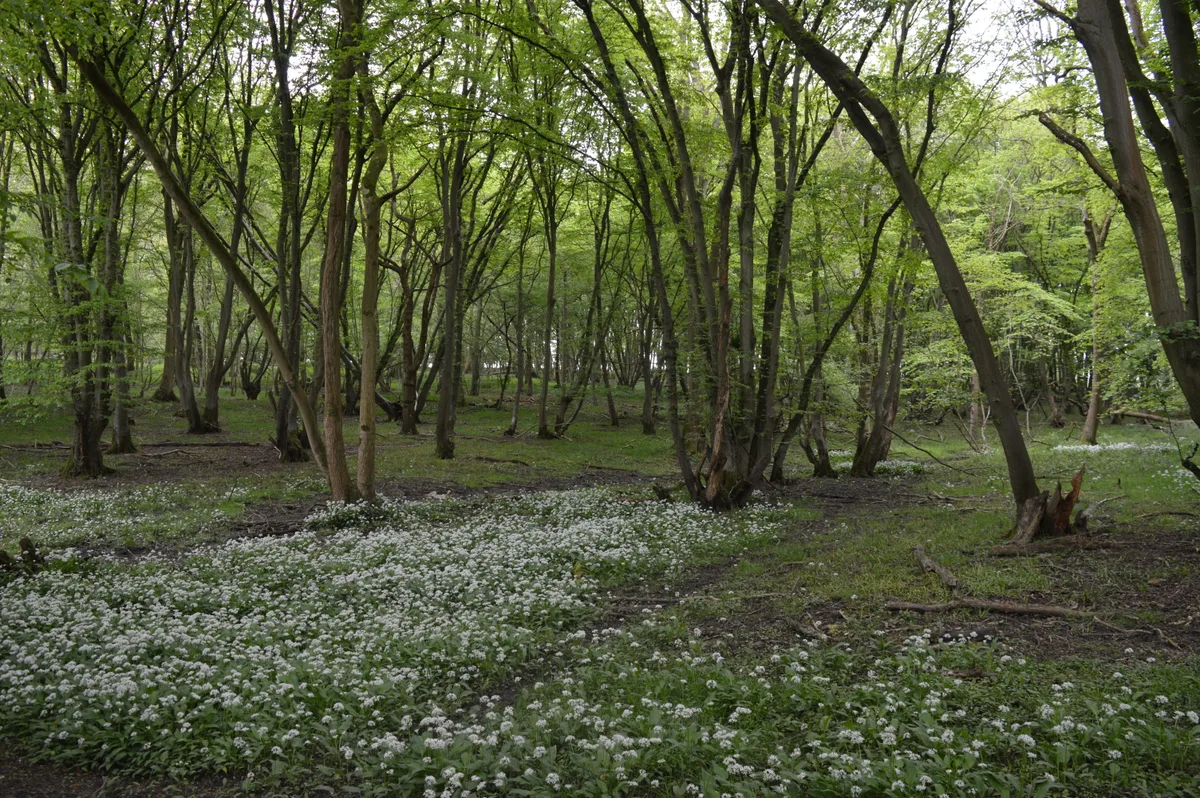 Flagship📷 10
Archaeological sites · East of England
Nunn Wood
Nunn Wood — woods in Essex, England, a Site of Special Scientific Interest.
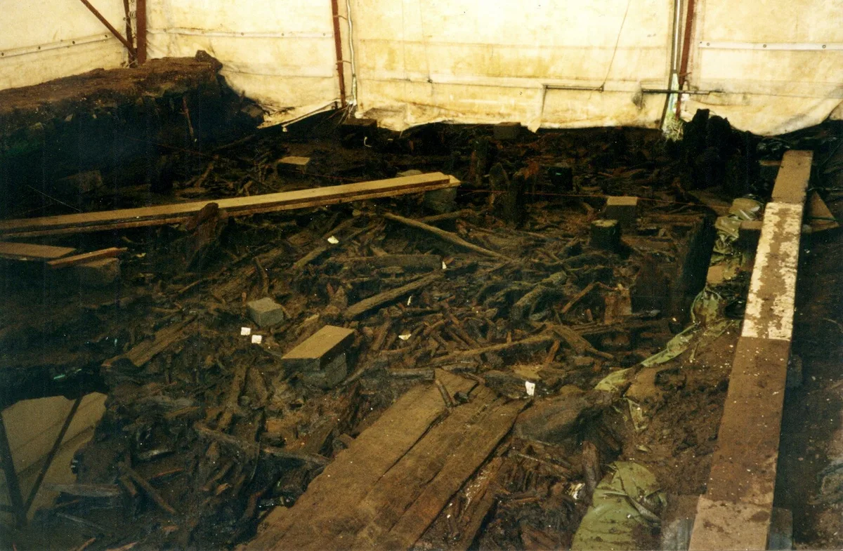 📷 5
Archaeological sites · East of England
A Bronze Age post alignment and timber platform at Flag Fen and associated Bronze Age and later field systems and settlement to
A Bronze Age post alignment and timber platform at Flag Fen and associated Bronze Age and later field systems and settlement to — archaeological site in Thorney, City of Peterborough, England, UK.
 📷 5
Archaeological sites · East of England
Causewayed enclosure 900m west of Great Wilbraham parish church
Causewayed enclosure 900m west of Great Wilbraham parish church — archaeological site in Great Wilbraham, South Cambridgeshire, England, UK.
 📷 5
Archaeological sites · East of England
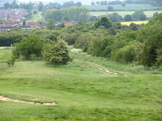
Dray's Ditches
Dray's Ditches — archaeological site in Streatley, Central Bedfordshire, England, UK.
Frequently asked questions
- Where is Site of Romano-British settlement?
- Site of Romano-British settlement is in Cambridgeshire, East of England, United Kingdom (postcode CB25 9PE), in the parish of Landbeach.
- What is Site of Romano-British settlement?
- Site of Romano-British settlement — an archaeological site in East of England, United Kingdom.
- How do I get to Site of Romano-British settlement?
- The nearest railway station is Waterbeach, about 3.8 km away. The nearest town is Cottenham. Drivers can use postcode CB25 9PE.
- Is Site of Romano-British settlement free to visit?
- Yes, Site of Romano-British settlement is free to enter.
- How do I get to Site of Romano-British settlement?
- The nearest railway station is Waterbeach, about 3.8 km away. Drivers can navigate to postcode CB25 9PE.