
Hill forts · East of England
Length of Car Dyke between Green End and Top Moor
In or near Cottenham.
Length of Car Dyke between Green End and Top Moor — archaeological site in Cottenham, South Cambridgeshire, England, UK.

Wikimedia Commons contributors — see linked file page for photographer and licence licence

Plan your visit
- Typical visit
- 1 h–2 h
- Nearest railway station
- Waterbeach · 4.1 km
- Free entry
- Dog-friendly
About
Length of Car Dyke between Green End and Top Moor is a hill fort in the United Kingdom. Heritage designation: scheduled monument. Part of Car Dyke. Wikidata describes it as: "archaeological site in Cottenham, South Cambridgeshire, England, UK". Coordinates: 52.2940°, 0.1653°.
Photo gallery
Place summary
The Length of Car Dyke between Green End and Top Moor is a scheduled monument located in London. This ancient hill-fort represents a significant archaeological feature, reflecting the historical landscape of the region. Its designation highlights its importance in understanding past human activity in the area.
AI-generated from the structured facts on this page (operator, designation, listing, era). Not a substitute for visiting.
- Coordinates
- 52.2940, 0.1653
- County
- Cambridgeshire
- District
- South Cambridgeshire
- Parish
- Landbeach
- Postcode
- CB25 9TP
- Parliamentary constituency
- Ely and East Cambridgeshire
- Nearest railway station
- Waterbeach — 4.1 km
Sources
- wikidata: Q17641110 (CC0)
- commons: Car Dyke - geograph.org.uk - 384052.jpg (CC BY-SA 4.0)
Other places nearby

Site of Romano-British settlement
Archaeological sites · 0.7 km

Denny Abbey and Farmland Museum
Museums · 1.4 km
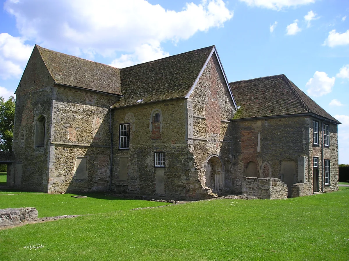
Denny Abbey
Abbeys & priories · 1.4 km

Denny Abbey
Cathedrals · 1.4 km

Lost Acres
Caravan parks · 1.5 km

Steeplechase LRP Centre
Campsites · 1.6 km

Bullocks Haste
Archaeological sites · 2.0 km

Church of All Saints
Historic churches · 2.2 km

Site of Bullocks Haste Romano-British settlement
Archaeological sites · 2.4 km

Site of Limes Farm Romano-British settlement
Archaeological sites · 2.5 km

Chittering Park Caravan Site
Caravan parks · 2.6 km

Waterbeach Cemetery
Cemeteries · 2.7 km
Nearby
📷 5Archaeological sites · East of England
Site of Romano-British settlement
Site of Romano-British settlement — a archaeological in england-london, United Kingdom.
📷 5Museums · East of England
Denny Abbey and Farmland Museum
Denny Abbey and Farmland Museum — a museum in england-london, United Kingdom.
★ Iconic📷 5Abbeys & priories · East of England
Denny Abbey
Denny Abbey — church in South Cambridgeshire, England, UK.
📷 5Cathedrals · East of England
Denny Abbey
Denny Abbey is a cathedral in the United Kingdom.
📷 5📷 5Campsites · East of England
Steeplechase LRP Centre
Steeplechase LRP Centre — a campsite in england london.
Where to eat & stay near Length of Car Dyke between Green End and Top Moor
Places to stay
📷 5📷 5Campsites · East of England
Steeplechase LRP Centre
Steeplechase LRP Centre — a campsite in england london.
📷 5Caravan parks · East of England
Chittering Park Caravan Site
Chittering Park Caravan Site — a caravan park in england london.
 📷 5
📷 5Caravan parks · East of England
Kingsmead Caravan Park
Kingsmead Caravan Park — a caravan park in england london.
 📷 5
📷 5Campsites · East of England
Fenland Retreats
Fenland Retreats — a campsite in england london.
 📷 5
📷 5Caravan parks · East of England
Cosy Nook Caravan Park
Cosy Nook Caravan Park — a caravan park in england london.
Places to eat & drink
 📷 5
📷 5Historic pubs · East of England
Chequers Public House
Chequers Public House in England East, United Kingdom.
 📷 5
📷 5Historic pubs · East of England
Lion And Lamb Public House
Lion And Lamb Public House in England East, United Kingdom.
 📷 5
📷 5Restaurants · East of England
Crown & Punchbowl
Crown & Punchbowl — a restaurant in england london.
 📷 5
📷 5Historic pubs · East of England
King William IV Public House
King William IV Public House in England East, United Kingdom.
 📷 5
📷 5Historic pubs · East of England
The Plough And Fleece
The Plough And Fleece in England East, United Kingdom.
 📷 5
📷 5More places in this region
 📷 5
📷 5Hill forts · East of England
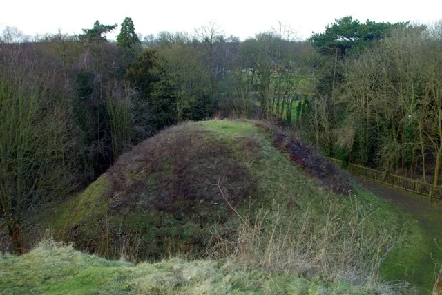
Bartlow Hills
Bartlow Hills — Roman tumuli cemetery in Bartlow (Cambridgeshire, UK).
 📷 5
📷 5Hill forts · East of England
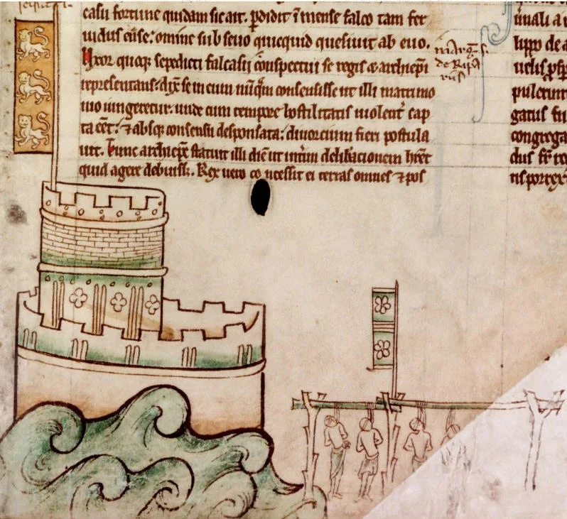
Bedford Castle
Bedford Castle — castle in Bedfordshire, England, UK.
.jpg?width=1200) 📷 5
📷 5Hill forts · East of England
Beech Bottom Dyke
Beech Bottom Dyke — Iron Age ditch in St Albans, Hertfordshire, England, UK.
 📷 5
📷 5Hill forts · East of England
Braughing Roman Town
Braughing Roman Town — archaeological site in Braughing, East Hertfordshire, England, UK.
Frequently asked questions
- Where is Length of Car Dyke between Green End and Top Moor?
- Length of Car Dyke between Green End and Top Moor is in Cambridgeshire, East of England, United Kingdom (postcode CB25 9TP), in the parish of Landbeach.
- What is Length of Car Dyke between Green End and Top Moor?
- Length of Car Dyke between Green End and Top Moor — archaeological site in Cottenham, South Cambridgeshire, England, UK.
- How do I get to Length of Car Dyke between Green End and Top Moor?
- The nearest railway station is Waterbeach, about 4.1 km away. The nearest town is Cottenham. Drivers can use postcode CB25 9TP.
- Is Length of Car Dyke between Green End and Top Moor a listed building?
- Length of Car Dyke between Green End and Top Moor is officially recognised as scheduled monument listed.
- Is Length of Car Dyke between Green End and Top Moor free to visit?
- Yes, Length of Car Dyke between Green End and Top Moor is free to enter.
- How do I get to Length of Car Dyke between Green End and Top Moor?
- The nearest railway station is Waterbeach, about 4.1 km away. Drivers can navigate to postcode CB25 9TP.