
Towns & cities · Yorkshire & the Humber
Sicklinghall
Sicklinghall — village in North Yorkshire, England, UK.
_001.jpg?width=1200)
Wikimedia Commons contributors — see linked file page for photographer and licence licence
_001.jpg)
Plan your visit
- Typical visit
- 3 h–6 h
- Nearest railway station
- Pannal · 6.3 km
- Free entry
- Family-friendly
- Dog-friendly
Getting there & planning your visit
To visit Sicklinghall, the nearest railway station is Pannal, located 6.3 km away. The postcode for navigation is LS22, and entry to the town is free.
About
Sicklinghall is a town, city, village or settlement in the United Kingdom. Recent population estimates put it at around 314 people. Address: LS22. Wikidata describes it as: "village in North Yorkshire, England, UK". Coordinates: 53.9305°, -1.4487°.
Photo gallery
From the Wikipedia article
Sicklinghall is a village and civil parish in North Yorkshire, England that is situated between the town of Wetherby (3 miles (5 km) to the east) and the village of Kirkby Overblow. In 2007 the population was recorded as 300, increasing to 336 at the 2011 Census. The village is surrounded by granges; on the eastern side lie Skerry Grange and Sicklinghall Grange and on the western Addlethorpe Grange. Sicklinghall Grange is set in a 107-acre (0.43 km2) estate, it is the UK residence of racehorse owner, Sir Robert Ogden. However the 'big house' is Stockeld Park, a Grade I-listed palladian villa that sits at the heart of a 2,000-acre estate and is home to the Grant family. Until 1974 it was part of the West Riding of Yorkshire. From 1974 to 2023 it was part of the Borough of Harrogate, it is now administered by the unitary North Yorkshire Council.
Excerpt from Wikipedia under CC BY-SA 4.0. See the source article linked in Sources below.
Background
History
The name Sicklinghall derives from the Old English Sicelingashalh or Sicelinghalh, meaning 'nook of land of Sicel's people' or 'nook of land at Sicel's place'. The village is referred to in the Domesday Book as "Sidingale", in the hundred of Burghshire in the West Riding, and the lord and tenant in chief is noted as the King. In Kirkby's Inquest (1284-5) the village is referred to as Siclinghalle; in the Knights' Fees of 1302 it is Sykelynghall, and in the Nomina Villarum (1316) it is written Sigglinghall. There has been a school in the village of Sicklinghall since at least 1850 when Mrs Fenton Scott of Woodhall built a single storey school house. There is a Roman Catholic convent situated…
Sourced from Wikipedia under CC BY-SA 4.0.
- Coordinates
- 53.9305, -1.4487
- District
- North Yorkshire
- Parish
- Sicklinghall
- Postcode
- LS22
- Parliamentary constituency
- Wetherby and Easingwold
- Population
- 314
- Nearest railway station
- Pannal — 6.3 km
Sources
- wikidata: Q1962875 (CC0)
- wikipedia: Sicklinghall (CC BY-SA 4.0)
- commons: Church of the Immaculate Conception, Sicklinghall (9th August 2017) 001.jpg (CC BY-SA 4.0)
Other places nearby

Stockeld Park
Historic houses · 1.1 km

Red Kite Trail
Mountain bike trails · 1.4 km

The Owl
Mountain bike trails · 1.5 km

Stockeld Park Yew Tree Maze
Parks · 1.6 km

Armitage Chapel
Archaeological sites · 2.0 km

old brick works
Archaeological sites · 2.5 km

mid-Wharfedale panorama
Viewpoints · 2.6 km

Spofforth
Towns & cities · 2.6 km
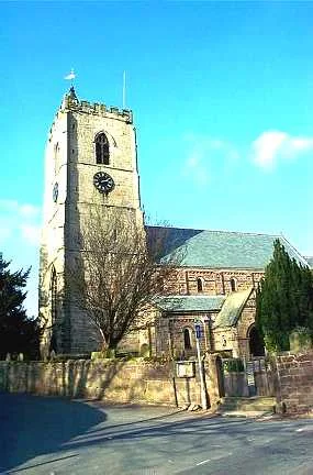
All Saints' Church, Spofforth
Historic churches · 2.7 km
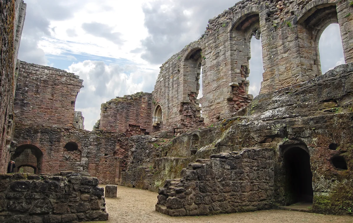
Spofforth Castle
Castles · 2.7 km

Lodge Farm C&CC CS
Campsites · 3.0 km

Linton Bridge
Historic bridges · 3.2 km
Sicklinghall is a town located in Yorkshire, offering visitors a variety of local attractions to explore. You can visit St. Oswald's Church in Collingham and Stockeld Park, which is a historic house. The area also features the Dalton Parlours Roman villa and Iron Age settlement for those interested in archaeology.
At a glance
- Population
- 314
- Constituency
- Wetherby and Easingwold
Things to see in Sicklinghall
9 attractions within 12 km. Full guide: things to do in Sicklinghall →
.jpg?width=1200) 📷 3
📷 3Historic bridges · Yorkshire & the Humber
Collingham Bridge
Collingham Bridge is a historic bridge in the United Kingdom.
 📷 4
📷 4Archaeological sites · Yorkshire & the Humber
Dalton Parlours Roman villa and Iron Age settlement
Dalton Parlours Roman villa and Iron Age settlement — archaeological site in Collingham, Leeds, West Yorkshire, England, UK.
📷 3Historic bridges · Yorkshire & the Humber
Linton Bridge
Linton Bridge is a historic bridge in the United Kingdom.
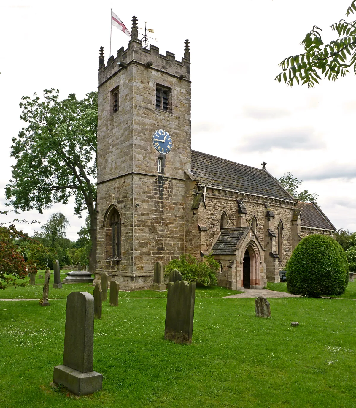 📷 3
📷 3Historic churches · Yorkshire & the Humber
St. Oswald's Church, Collingham, West Yorkshire
St. Oswald's Church, Collingham, West Yorkshire is a historic church in the United Kingdom.
📷 5Historic houses · Yorkshire & the Humber
Stockeld Park
Stockeld Park — Grade I listed house in Spofforth with Stockeld, Harrogate, North Yorkshire, England, UK.
📷 3Parks · Yorkshire & the Humber
Stockeld Park Yew Tree Maze
Stockeld Park Yew Tree Maze — a place in Yorkshire & the Humber, United Kingdom.
📷 3Archaeological sites · Yorkshire & the Humber
Armitage Chapel
Armitage Chapel — an archaeological site in Yorkshire & the Humber, United Kingdom.
📷 5Mountain bike trails · Yorkshire & the Humber
Red Kite Trail
Red Kite Trail — a mtb trail in england yorkshire.
📷 5Nearby
📷 5Historic houses · Yorkshire & the Humber
Stockeld Park
Stockeld Park — Grade I listed house in Spofforth with Stockeld, Harrogate, North Yorkshire, England, UK.
📷 5Mountain bike trails · Yorkshire & the Humber
Red Kite Trail
Red Kite Trail — a mtb trail in england yorkshire.
📷 5📷 3Parks · Yorkshire & the Humber
Stockeld Park Yew Tree Maze
Stockeld Park Yew Tree Maze — a place in Yorkshire & the Humber, United Kingdom.
📷 3Archaeological sites · Yorkshire & the Humber
Armitage Chapel
Armitage Chapel — an archaeological site in Yorkshire & the Humber, United Kingdom.
📷 3Archaeological sites · Yorkshire & the Humber
old brick works
old brick works — an archaeological site in Yorkshire & the Humber, United Kingdom.
Where to eat & stay near Sicklinghall
Places to stay
📷 5Campsites · Yorkshire & the Humber
Lodge Farm C&CC CS
Lodge Farm C&CC CS — a campsite in england yorkshire.
 📷 5
📷 5Caravan parks · Yorkshire & the Humber
Maustin Caravan Park
Maustin Caravan Park — a caravan park in england yorkshire.
 📷 7
📷 7 📷 5
📷 5Hostels · Yorkshire & the Humber
Harewood Arms Hotel
Harewood Arms Hotel — a hostel in england yorkshire.
 📷 5
📷 5Campsites · Yorkshire & the Humber
Rudding Holiday Park
Rudding Holiday Park — a campsite in england yorkshire.
 📷 5
📷 5Caravan parks · Yorkshire & the Humber
Haighfield Caravan Park
Haighfield Caravan Park — a caravan park in england yorkshire.
Places to eat & drink
 📷 7
📷 7Historic pubs · Yorkshire & the Humber
The Brunswick
The Brunswick in England Yorkshire, United Kingdom.
 📷 7
📷 7Historic pubs · Yorkshire & the Humber
Swan And Talbot
Swan And Talbot in England Yorkshire, United Kingdom.
 📷 5
📷 5Historic pubs · Yorkshire & the Humber
The Bingley Arms
The Bingley Arms in England Yorkshire, United Kingdom.
 📷 5
📷 5Historic pubs · Yorkshire & the Humber
The Old Star Inn
The Old Star Inn in England Yorkshire, United Kingdom.
 📷 5
📷 5Historic pubs · Yorkshire & the Humber
Bay Horse Inn
Bay Horse Inn in England Yorkshire, United Kingdom.
 📷 5
📷 5Historic pubs · Yorkshire & the Humber
Mother Shipton Inn
Mother Shipton Inn in England Yorkshire, United Kingdom.
More towns in this region
 Flagship📷 3
Towns & cities · Yorkshire & the Humber
Hazel Grove
Hazel Grove — suburb within the Metropolitan Borough of Stockport, in Greater Manchester, England.
 Flagship📷 3
Towns & cities · Yorkshire & the Humber
High Lane
High Lane — village in the Metropolitan Borough of Stockport, Greater Manchester, United Kingdom.
 📷 5
📷 5Towns & cities · Yorkshire & the Humber
Disley
Disley — village in Cheshire East, Cheshire, England, UK.
 📷 3
📷 3Frequently asked questions
- Where is Sicklinghall?
- Sicklinghall is in Yorkshire, United Kingdom (postcode LS22), in the parish of Sicklinghall.
- What is Sicklinghall?
- Sicklinghall — village in North Yorkshire, England, UK.
- How do I get to Sicklinghall?
- The nearest railway station is Pannal, about 6.3 km away. Drivers can use postcode LS22.
- Is Sicklinghall free to visit?
- Yes, Sicklinghall is free to enter.
- How do I get to Sicklinghall?
- The nearest railway station is Pannal, about 6.3 km away. Drivers can navigate to postcode LS22.