Mountain bike trails · Yorkshire & the Humber
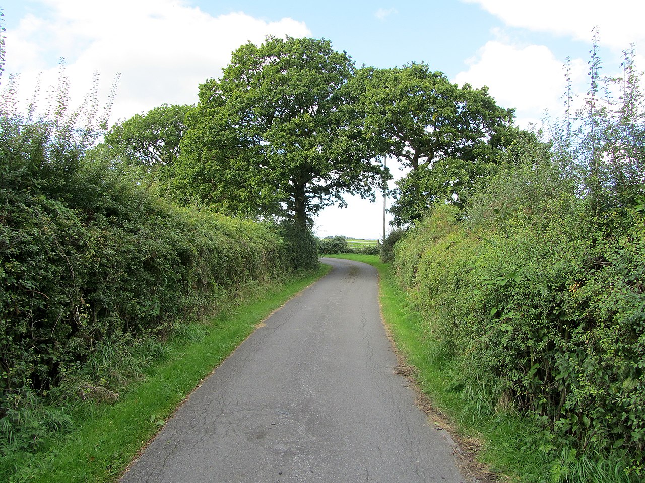
Red Kite Trail
In or near Sicklinghall.
Red Kite Trail — a mtb trail in england yorkshire.

Chris Denny — CC BY-SA 2.0 via Wikimedia Commons licence
Plan your visit
- Typical visit
- 1 h–2 h
- Nearest railway station
- Pannal · 7.4 km
About
Red Kite Trail is a mtb trail located in england yorkshire, mapped by OpenStreetMap contributors. Detailed amenities and visitor information may vary; check the OSM page for the latest tagged metadata.
Photo gallery
Place summary
The Red Kite Trail is a mountain biking trail located in Yorkshire. It offers a variety of terrain suitable for cyclists of different skill levels. Visitors can expect scenic views and well-maintained paths throughout the trail. The area is known for its wildlife, particularly the red kite birds that can often be seen soaring overhead.
AI-generated from the structured facts on this page (operator, designation, listing, era). Not a substitute for visiting.
- Coordinates
- 53.9179, -1.4431
- District
- North Yorkshire
- Parish
- Sicklinghall
- Postcode
- LS22 4HZ
- Parliamentary constituency
- Wetherby and Easingwold
- Nearest railway station
- Pannal — 7.4 km
Sources
- osm: r12207920 (ODbL)
Other places nearby

The Owl
Mountain bike trails · 0.2 km
_001.jpg?width=1200)
Sicklinghall
Towns & cities · 1.4 km

Stockeld Park
Historic houses · 2.1 km
.jpg?width=1200)
Collingham Bridge
Historic bridges · 2.2 km

Linton Bridge
Historic bridges · 2.3 km
St. Oswald's Church, Collingham, West Yorkshire
Historic churches · 2.5 km

Stockeld Park Yew Tree Maze
Parks · 2.6 km

mid-Wharfedale panorama
Viewpoints · 2.6 km

Armitage Chapel
Archaeological sites · 2.7 km
.jpg?width=1200)
Netherby
Towns & cities · 3.2 km

Maustin Caravan Park
Caravan parks · 3.5 km

Castle Hill
Literary houses · 3.7 km
Nearby
📷 5📷 4Towns & cities · Yorkshire & the Humber
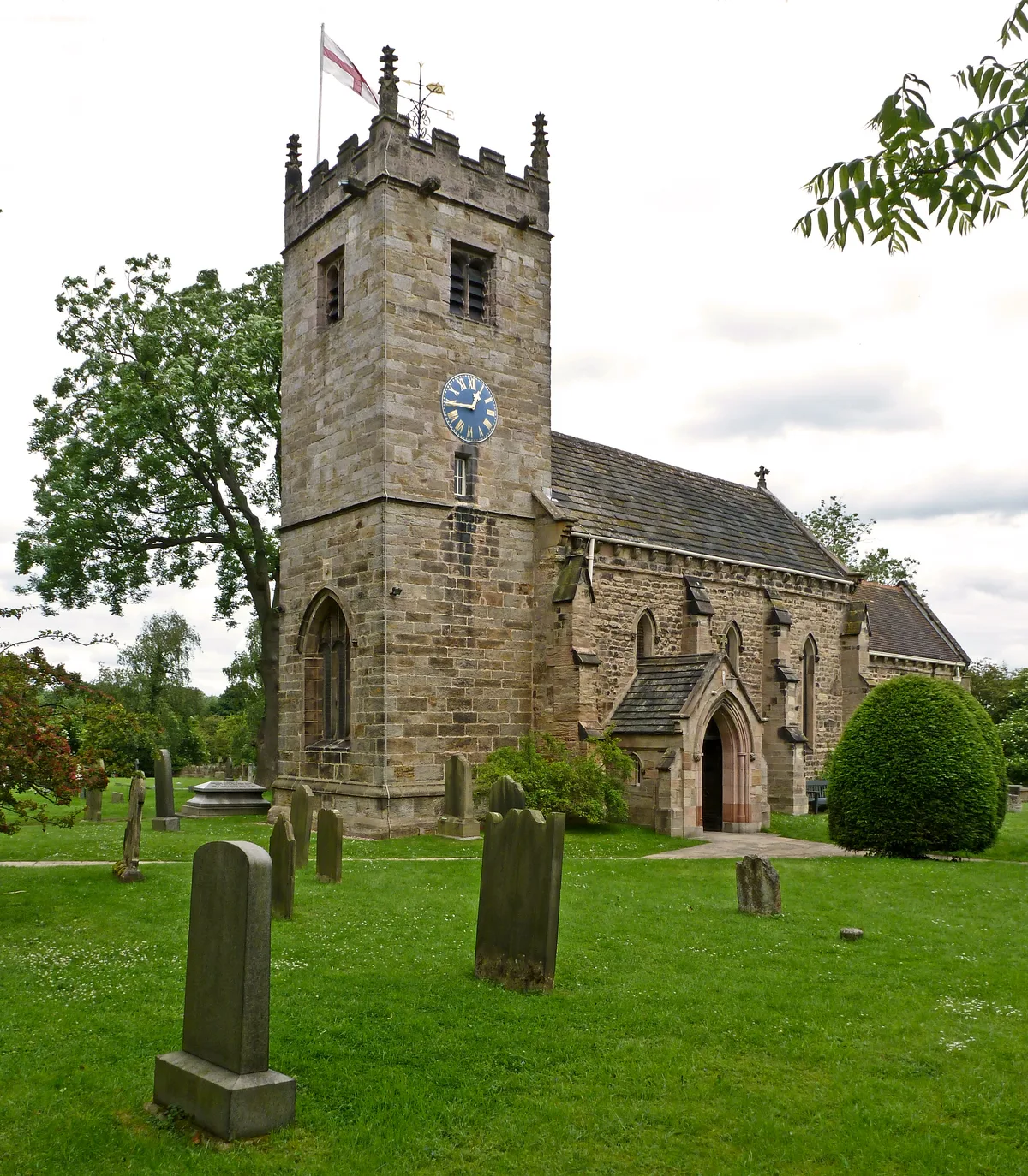
Sicklinghall
Sicklinghall — village in North Yorkshire, England, UK.
📷 5Historic houses · Yorkshire & the Humber
Stockeld Park
Stockeld Park — Grade I listed house in Spofforth with Stockeld, Harrogate, North Yorkshire, England, UK.
📷 3Historic bridges · Yorkshire & the Humber
Collingham Bridge
Collingham Bridge is a historic bridge in the United Kingdom.
📷 3Historic bridges · Yorkshire & the Humber
Linton Bridge
Linton Bridge is a historic bridge in the United Kingdom.
📷 3Historic churches · Yorkshire & the Humber
St. Oswald's Church, Collingham, West Yorkshire
St. Oswald's Church, Collingham, West Yorkshire is a historic church in the United Kingdom.
Where to eat & stay near Red Kite Trail
Places to stay
📷 5Caravan parks · Yorkshire & the Humber
Maustin Caravan Park
Maustin Caravan Park — a caravan park in england yorkshire.
 📷 7
📷 7B&Bs · Yorkshire & the Humber
The Royal Oak
The Royal Oak — a bed-and-breakfast in england yorkshire.
 📷 5
📷 5Campsites · Yorkshire & the Humber
Lodge Farm C&CC CS
Lodge Farm C&CC CS — a campsite in england yorkshire.
 📷 5
📷 5Caravan parks · Yorkshire & the Humber
Haighfield Caravan Park
Haighfield Caravan Park — a caravan park in england yorkshire.
 📷 5
📷 5Hostels · Yorkshire & the Humber
Harewood Arms Hotel
Harewood Arms Hotel — a hostel in england yorkshire.
 📷 5
📷 5Campsites · Yorkshire & the Humber
More Lodge Holiday Park
More Lodge Holiday Park — a campsite in england yorkshire.
Places to eat & drink
 📷 7
📷 7Historic pubs · Yorkshire & the Humber
The Brunswick
The Brunswick in England Yorkshire, United Kingdom.
 📷 7
📷 7Historic pubs · Yorkshire & the Humber
Swan And Talbot
Swan And Talbot in England Yorkshire, United Kingdom.
 📷 5
📷 5Historic pubs · Yorkshire & the Humber
The Bingley Arms
The Bingley Arms in England Yorkshire, United Kingdom.
 📷 5
📷 5Historic pubs · Yorkshire & the Humber
The Old Star Inn
The Old Star Inn in England Yorkshire, United Kingdom.
 📷 5
📷 5Historic pubs · Yorkshire & the Humber
Bay Horse Inn
Bay Horse Inn in England Yorkshire, United Kingdom.
 📷 5
📷 5Historic pubs · Yorkshire & the Humber
The Stable Wine Bar And The Coffee Shop
The Stable Wine Bar And The Coffee Shop in England Yorkshire, United Kingdom.
More places in this region
 📷 5
📷 5Mountain bike trails · Yorkshire & the Humber
Riding the Ridges
Riding the Ridges — a mtb trail in england west midlands.
 📷 5
📷 5Mountain bike trails · Yorkshire & the Humber
Tame Valley Loop
Tame Valley Loop — a mtb trail in england west midlands.
 📷 5
📷 5Mountain bike trails · Yorkshire & the Humber
MTB Blue route
MTB Blue route — a mtb trail in england yorkshire.
 📷 5
📷 5Mountain bike trails · Yorkshire & the Humber
MTB Green route
MTB Green route — a mtb trail in england yorkshire.
Frequently asked questions
- Where is Red Kite Trail?
- Red Kite Trail is in Yorkshire, United Kingdom (postcode LS22 4HZ), in the parish of Sicklinghall.
- What is Red Kite Trail?
- Red Kite Trail — a mtb trail in england yorkshire.
- How do I get to Red Kite Trail?
- The nearest railway station is Pannal, about 7.4 km away. Drivers can use postcode LS22 4HZ.
- How do I get to Red Kite Trail?
- The nearest railway station is Pannal, about 7.4 km away. Drivers can navigate to postcode LS22 4HZ.