
Natural landmarks · South West England
Severn bore
Also known as: Eger Hafren
In or near Elmore.
The Severn bore is a tidal bore seen on the tidal reaches of the River Severn in south western England. It is formed when the rising tide moves into the funnel-shaped Bristol Channel and Severn Estuar

Derek Meek — CC BY-SA 2.0 via Wikimedia Commons licence

Plan your visit
- Typical visit
- 1 h–2 h
- Nearest railway station
- Gloucester · 6.7 km
- Dog-friendly
Getting there & planning your visit
To visit the Severn bore, the nearest railway station is Gloucester, located 6.7 km away. The postcode for navigation is GL2 3ST. Entry is free, and accessibility details are not specified.
About
The Severn bore is a tidal bore seen on the tidal reaches of the River Severn in south western England. It is formed when the rising tide moves into the funnel-shaped Bristol Channel and Severn Estuary and the surging water forces its way upstream in a series of waves, as far as Gloucester and beyond. The bore behaves differently in different stretches of the river; in the lower, wider parts it is more noticeable in the deep channels as a slight roller, while the water creeps across the sand and mudflats. In the narrower, upper reaches, the river occupies the whole area between its banks and the bore advances in a series of waves that move upstream. Near Gloucester, the advancing water overcomes two weirs, and sometimes one in Tewkesbury, before finally petering out. Bores are present on about 130 days in the year, concentrated on the days immediately following the new and full moon. The size and precise timing of the bore depend on such things as the time of high tide, the barometric pressure, the wind speed and direction, the amount of water coming down the river and how well scoured the main drainage channels are. There are a number of viewpoints from which the bore can be seen, or viewers can walk along the river bank or floodbanks. Historically, the bore has been of importance to shipping visiting the docks at Gloucester, but this was alleviated by the construction of an alternative route, the Gloucester and Sharpness Canal, which opened in 1827. Nowadays the bore is of…
Photo gallery
Protected designations
- Area of Outstanding Natural Beauty: Cotswolds
Designations sourced from Natural England open data under OGL v3.
From the Wikipedia article
The Severn bore is a tidal bore seen on the tidal reaches of the River Severn in south western England. It is formed when the rising tide moves into the funnel-shaped Bristol Channel and Severn Estuary and the surging water forces its way upstream in a series of waves, as far as Gloucester and beyond. The bore behaves differently in different stretches of the river; in the lower, wider parts it is more noticeable in the deep channels as a slight roller, while the water creeps across the sand and mudflats. In the narrower, upper reaches, the river occupies the whole area between its banks and the bore advances in a series of waves that move upstream. Near Gloucester, the advancing water overcomes two weirs, and sometimes one in Tewkesbury, before finally petering out. Bores are present on about 130 days in the year, concentrated on the days immediately following the new and full moon. The size and precise timing of the bore depend on such things as the time of high tide, the barometric pressure, the wind speed and direction, the amount of water coming down the river and how well scoured the main drainage channels are. There are a number of viewpoints from which the bore can be seen, or viewers can walk along the river bank or floodbanks. Historically, the bore has been of importance to shipping visiting the docks at Gloucester, but this was alleviated by the construction of an alternative route, the Gloucester and Sharpness Canal, which opened in 1827. Nowadays the bore is of interest to surfers and canoeists who attempt to ride the waves.
Excerpt from Wikipedia under CC BY-SA 4.0. See the source article linked in Sources below.
Background
History
An eighteenth century account of the bore that has been attributed to Charles Blagden (died 1820), secretary of the Royal Society, is in the collection of the Gloucestershire Archives under reference Glos. R.O., D 1914. In the account, the author described it rising to eight feet and how he rode on horseback between bends in the river in order to "overtake" the bore as observers still attempt to do. The phenomenon is referred to as a "head of tide" with the author noting at the end that elsewhere such things are known as a "boar" or "bore".
Sourced from Wikipedia under CC BY-SA 4.0.
- Coordinates
- 51.8500, -2.3320
- County
- Gloucestershire
- District
- Stroud
- Parish
- Elmore
- Postcode
- GL2 3ST
- Parliamentary constituency
- North Cotswolds
- Nearest railway station
- Gloucester — 6.7 km
Sources
- wikipedia: Severn bore (CC BY-SA 4.0)
Other places nearby
Clarke Monument, In Churchyard, About 6M South Of East End Of Chancel, Church Of St Peter
Memorials & monuments · 0.2 km

Trigg Monument, In Churchyard, About 7 Metres South Of South East Corner Of Nave, Church Of St Andrew
Memorials & monuments · 1.4 km
Bennett Monument, In Churchyard, About 5 Metres South Of Nave, East Of Porch, Church Of St Andrew
Memorials & monuments · 1.4 km
Drew Monument, In Churchyard, About 3 Metres South East Of Porch, Church Of St Andrew
Memorials & monuments · 1.4 km

Unidentified Monument, In Churchyard, In Angle Between Nave And Tower, Church Of St Andrew
Memorials & monuments · 1.4 km

Bohn Monument In Churchyard, About 14 Metres North North East Of North East Corner Of Chancel, Church Of St Andrew
Memorials & monuments · 1.4 km

Oakle Street
Villages · 1.5 km

Elmore Court
Manor houses · 1.9 km

The School of the Lion
Natural landmarks · 2.0 km

Bradly Monument In The Churchyard Approximately 5 Metres North Of North Porch To Church Of St John
Memorials & monuments · 2.0 km
Ravenhill Monument In The Churchyard Approximately 7 Metres North Of Church Of St John
Memorials & monuments · 2.0 km
Unidentified Monument In The Churchyard Approximately 0.5 Metres West Of Ravenhill Monument North Of Church Of St John
Memorials & monuments · 2.0 km
Nearby
📷 3Memorials & monuments · South West England
Clarke Monument, In Churchyard, About 6M South Of East End Of Chancel, Church Of St Peter
Clarke Monument, In Churchyard, About 6M South Of East End Of Chancel, Church Of St Peter — Grade II listed building-listed memorial in england-west-midlands, United Kingdom.
📷 3Memorials & monuments · South West England
Trigg Monument, In Churchyard, About 7 Metres South Of South East Corner Of Nave, Church Of St Andrew
Trigg Monument, In Churchyard, About 7 Metres South Of South East Corner Of Nave, Church Of St Andrew — Grade II listed building-listed memorial in england-west-midlands, United Kingdom.
📷 3Memorials & monuments · South West England
Bennett Monument, In Churchyard, About 5 Metres South Of Nave, East Of Porch, Church Of St Andrew
Bennett Monument, In Churchyard, About 5 Metres South Of Nave, East Of Porch, Church Of St Andrew — Grade II listed building-listed memorial in england-west-midlands, United Kingdom.
📷 3Memorials & monuments · South West England
Drew Monument, In Churchyard, About 3 Metres South East Of Porch, Church Of St Andrew
Drew Monument, In Churchyard, About 3 Metres South East Of Porch, Church Of St Andrew — Grade II listed building-listed memorial in england-west-midlands, United Kingdom.
📷 3Memorials & monuments · South West England
Unidentified Monument, In Churchyard, In Angle Between Nave And Tower, Church Of St Andrew
Unidentified Monument, In Churchyard, In Angle Between Nave And Tower, Church Of St Andrew — Grade II listed building-listed memorial in england-west-midlands, United Kingdom.
📷 3Memorials & monuments · South West England
Bohn Monument In Churchyard, About 14 Metres North North East Of North East Corner Of Chancel, Church Of St Andrew
Bohn Monument In Churchyard, About 14 Metres North North East Of North East Corner Of Chancel, Church Of St Andrew — Grade II listed building-listed memorial in england-west-midlands, United Kingdom.
Where to eat & stay near Severn bore
Places to stay
 📷 5
📷 5Caravan parks · South West England
Woodgreen Farm CL
Woodgreen Farm CL — a caravan park in england west midlands.
 📷 5
📷 5Campsites · South West England
Forest Road Camping
Forest Road Camping — a campsite in england west midlands.
 📷 5
📷 5Campsites · South West England
Gables Farm Caravan and Camping
Gables Farm Caravan and Camping — a campsite in england west midlands.
 📷 5
📷 5Hotels · South West England
Hatton Court Hotel
Hatton Court Hotel — a hotel in england west midlands.
 📷 7
📷 7 📷 5
📷 5Caravan parks · South West England
Arlebrook House CAMC CL
Arlebrook House CAMC CL — a caravan park in england west midlands.
Places to eat & drink
 📷 7
📷 7Restaurants · South West England
The Dark Barn
The Dark Barn — a restaurant in england west midlands. Cuisine: gastropub. 4-star.
 📷 7
📷 7Historic pubs · South West England
The Tall Ships Public House
The Tall Ships Public House in England South East, United Kingdom.
 📷 7
📷 7Historic pubs · South West England
Dick Whittington Tavern
Dick Whittington Tavern in England South East, United Kingdom.
 📷 5
📷 5Historic pubs · South West England
Robert Raikes' House
Robert Raikes' House in England South East, United Kingdom.
 📷 5
📷 5 📷 5
📷 5Historic pubs · South West England
The Fleece Hotel
The Fleece Hotel in England South East, United Kingdom.
More natural landmarks in this region
 📷 5
📷 5Natural landmarks · South West England
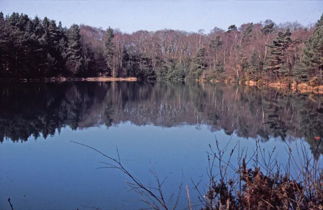
Blue Pool
Blue Pool — lake in Dorset, England, UK.
 📷 5
📷 5Natural landmarks · South West England
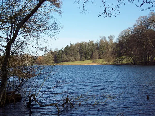
Fonthill Lake
Fonthill Lake — lake in Wiltshire, England, UK.
 📷 5
📷 5 📷 5
📷 5Natural landmarks · South West England
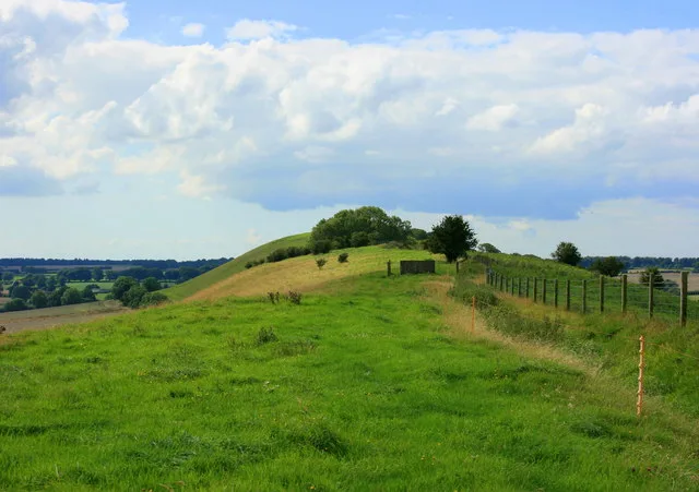
Orchardleigh Lake
Orchardleigh Lake — lake in the United Kingdom.
Frequently asked questions
- Where is Severn bore?
- Severn bore is in Gloucestershire, South-West England, United Kingdom (postcode GL2 3ST), in the parish of Elmore.
- What is Severn bore?
- The Severn bore is a tidal bore seen on the tidal reaches of the River Severn in south western England. It is formed when the rising tide moves into the funnel-shaped Bristol Channel and Severn Estuar
- How do I get to Severn bore?
- The nearest railway station is Gloucester, about 6.7 km away. The nearest town is Elmore. Drivers can use postcode GL2 3ST.
- Is Severn bore a protected site?
- Yes — Severn bore is part of the Cotswolds National Landscape (AONB).
- How do I get to Severn bore?
- The nearest railway station is Gloucester, about 6.7 km away. Drivers can navigate to postcode GL2 3ST.